|
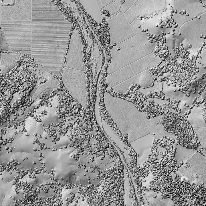
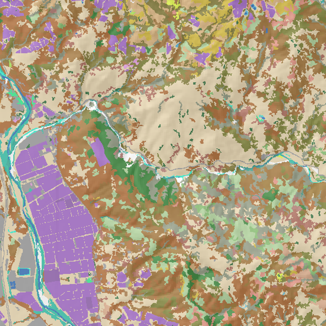
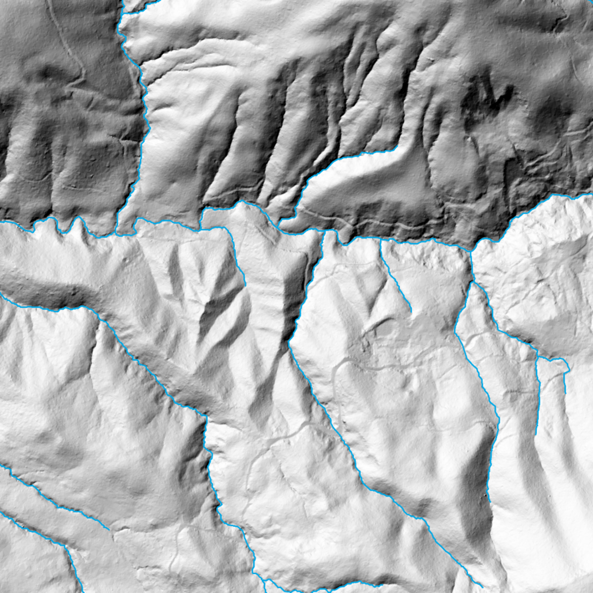
In addition to Sonoma County, the 2022 lidar datasets cover the following counties:
Del Norte, Humboldt, Lake, Mendocino, Modoc, Monterey, Napa, San Benito, San Luis Obispo, San Mateo, Siskiyou, Solano, and Trinity.
This comprehensive release represents a major milestone in advancing environmental monitoring, land use planning, forest management, stormwater and water resource planning, and scientific research throughout the region.
This data release compliments the 2013 Sonoma County Vegetation Mapping & Lidar Program data products and provides an updated look at elevation, surface conditions, vegetation canopy cover, and much more.
|