|
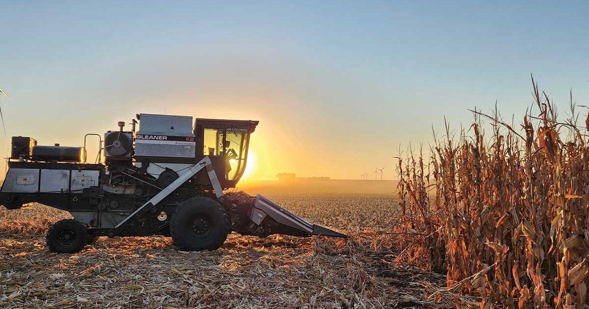
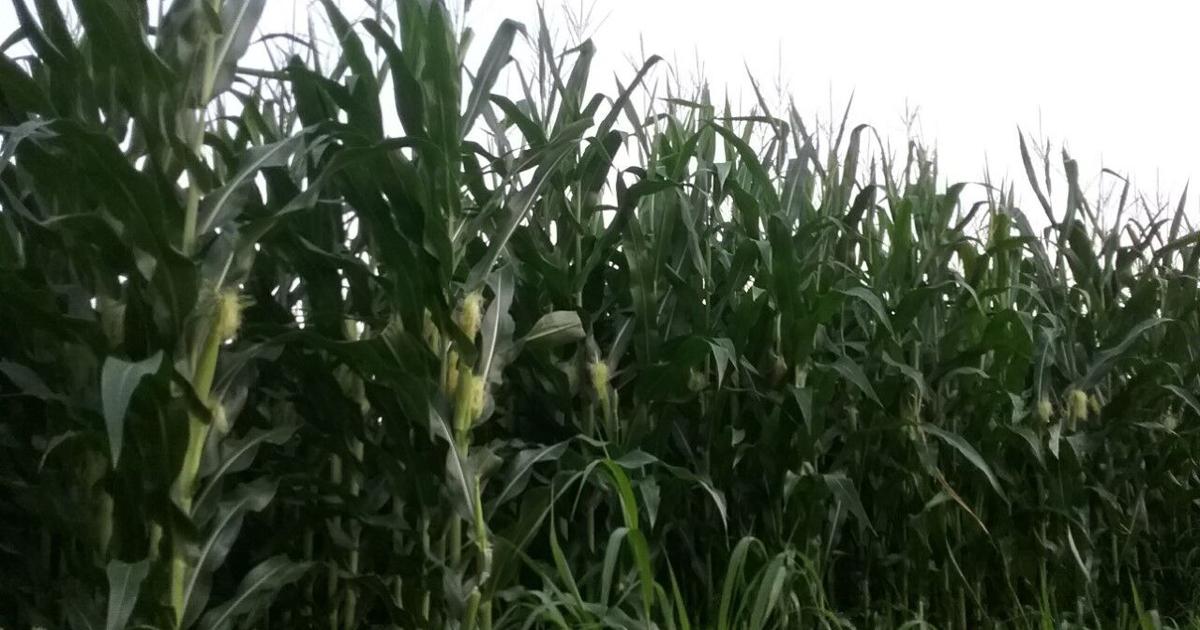
The use of unmanned aerial vehicles (UAV) in agriculture has exploded recently, including their use in farming operations for scouting crops and making various aerial applications. Additional opportunities exist for their use in field research. Image analysis software allows photos and video taken by UAVs to be converted into usable agronomic metrics. Plant stand counts are a proven and widely accepted field measurement derived from aerial imagery.
FIRST has been considering UAV-based measures for several years. In 2022, two field managers, Corey Rozenboom and Bill Schelp, implemented the technology to report stand counts in the northern Iowa, Nebraska and Missouri FIRST trials, respectively. We talked with Anthony Myers, research agronomist with the North Iowa FIRST team, about the UAV techniques they used this year.
The North Iowa FIRST team flew a DJI Phantom 4 PRO drone with a multispectral camera (RGB plus additional wavebands) mounted on it. Pix4D software provided guidance and automated flights for image capture and stitching. After that, they used Plot Phenix software for analysis to obtain final stand counts on a per plot basis.
Myers said that, "a clear sky and full sun were perfect for the drone, but challenging for image adjustments." For stand counts, the UAV was flown at low altitude. Imagery problems were noted during a few flights but were obvious for them to correct. Reflectance from no-till residue was one of the biggest challenges. Timing was also important. Getting around to trial locations spread out in FIRST regions at the early growth stages needed for ideal stand count images required two members of the North Iowa FIRST research staff to be on the road, each flying drones during days when conditions were good.
Myers and the team hand-counted several ranges while the drone was flying, and theirs matched the machine-vision count within a few plants. Overall, both Rozenboom and Schelp's research teams were happy with the stand counts, and were able to integrate those measures into FIRST's trial data acquisition system easily. Other research measures like vigor and canopy closure are possible with the UAV system. Look for machine measurements to increase as additional metrics are available, and reduced costs for hardware and software allow further adoption.
|