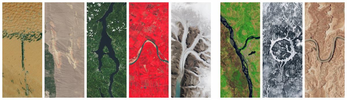
Banner image for the Landsat Science 2025 Year in Review newsletter with a natural color Landsat image in the back.

December 16, 2025

What's Next for HLS

Harmonized Landsat and Sentinel-2 PI Christopher Neigh shares milestones and a vision for the future


In 2025, the Harmonized Landsat and Sentinel-2 (HLS) program established itself as a cornerstone for global medium-resolution optical Earth observation and became one of NASA’s most downloaded products. The seamless, analysis-ready dataset is free for anyone to use and download on NASA Earthdata.

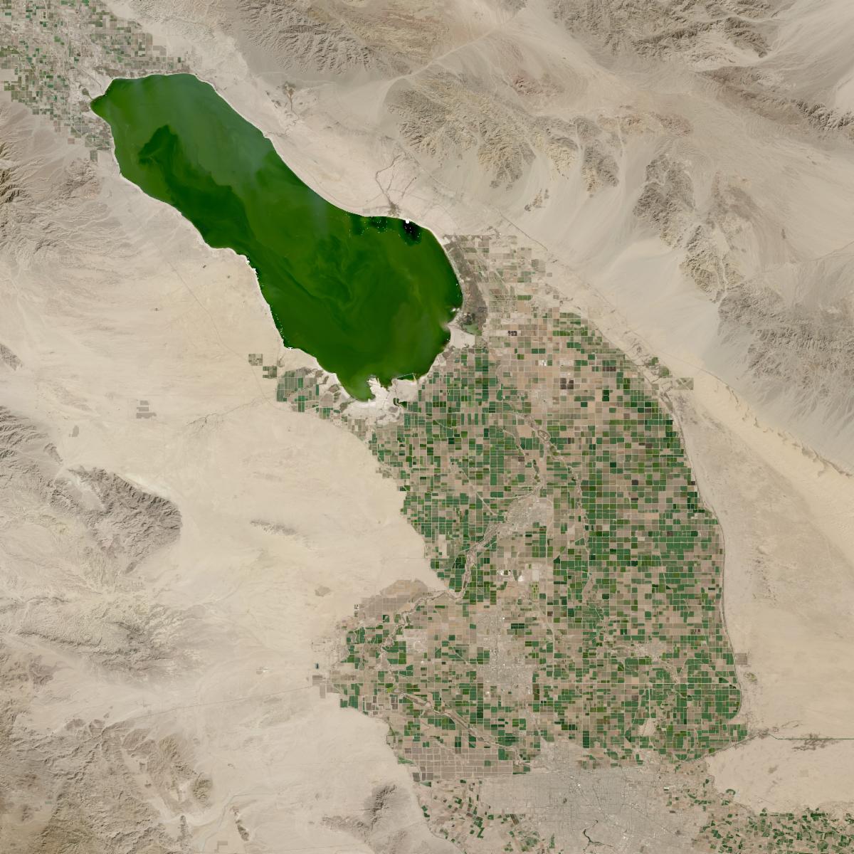
A natural-color HLS L30 image of California's Salton Sea. Crop fields below the sediment-filled water body appear as a grid of rectangle crop fields in varying shades of green.
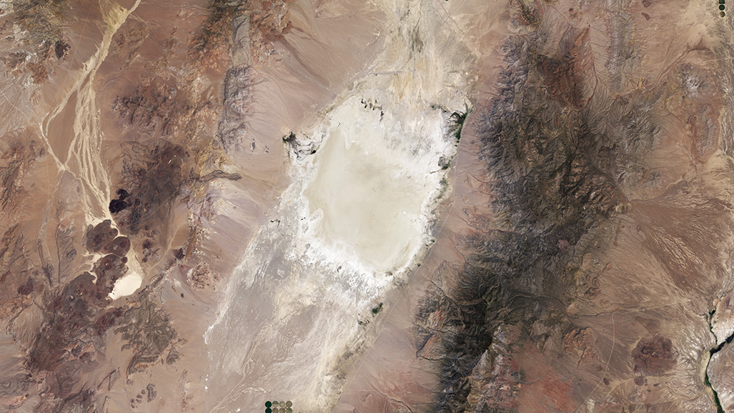
A Landsat image of Railroad Valley Playa calibration site. The sandy area of the site appears white and tan and the rest of the image is varying shades of brown, red, and dark green.

December 16, 2025

Maintaining the Gold Standard: The Future of Landsat Calibration and Validation


The NASA Cal/Val team spent 2025 improving their calibration techniques, strengthening collaboration, and sharing their work with the remote sensing community. Looking ahead, they're applying lessons learned to prepare for future Landsat missions.

This Year's Must-read Stories

Coulee Dam Summer 2022 - v3 image

December 2, 2025

Taking the Temperature of Rivers from Space


New research uses more than 40 years of Landsat data to help dam operators improve the health of salmon fisheries.

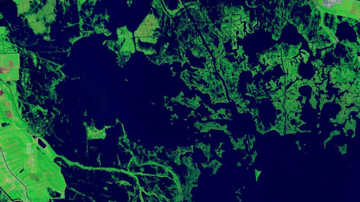
A false-color image shows dark-green wetland areas surrounding the dark-blue waters of Bay Dosgris in coastal Louisiana. The bay, shown here in 2024, has grown in size, and many of the previously marshy areas have become open water.

May 19, 2025

Forty Years of Change in Louisiana’s Wetlands


Using nearly 40 years of Landsat images, researchers at Wake Forest University developed a new tool to track wetlands across the U.S. Atlantic and Gulf coasts.

March 11, 2025

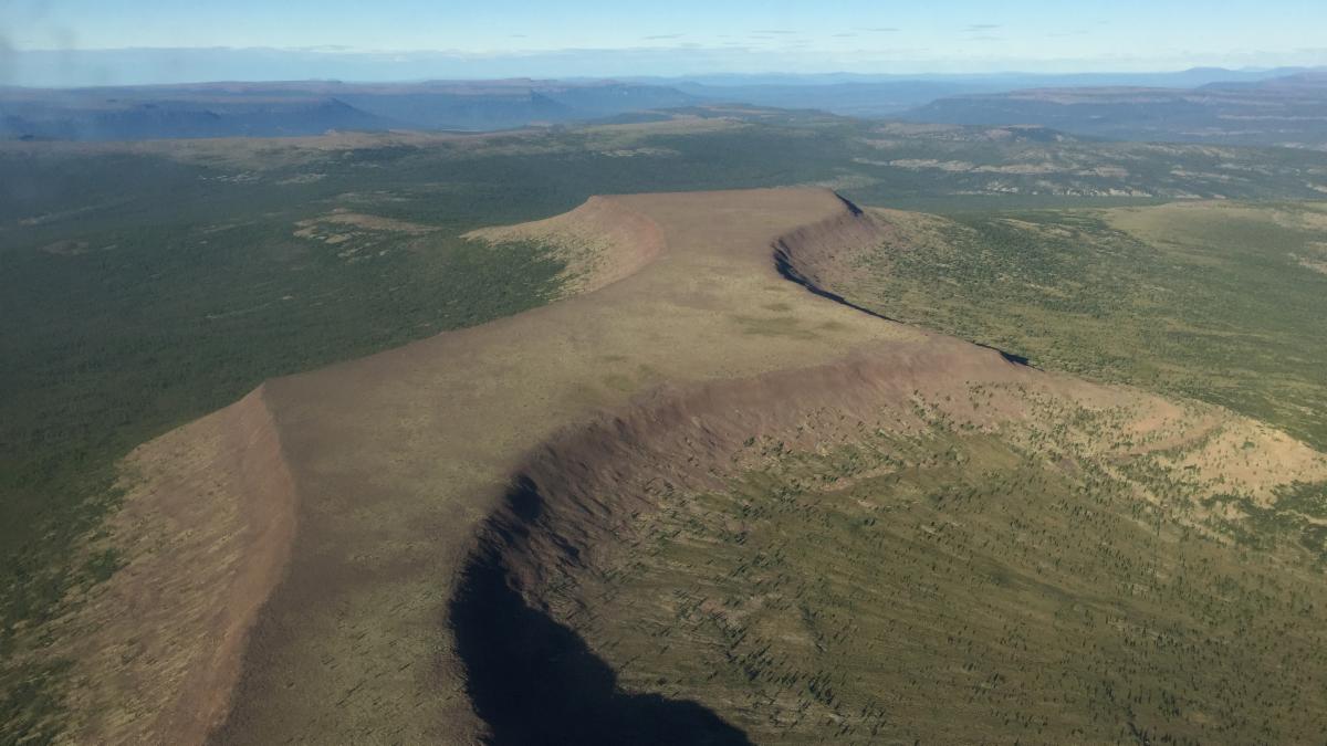
NASA Study Finds Potential Carbon Sink in Boreal Forest Growth


Research led by Landsat 8/9 Project Scientist Christopher Neigh using Landsat and ICESat-2 data is the first known empirical circumpolar-scale exploration of the capacity of land to grow trees.

“[Landsat 7 is] a transformational bridge between the past and the future of Earth observation. Landsat 7 sustained decades of continuity by evolving satellite observations and data products to meet changing priorities and national needs.


Tim Newman, Program Coordinator for the USGS National Land Imaging Program

A Final Farewell to Landsat 7, USGS

2025 in Landsat Imagery

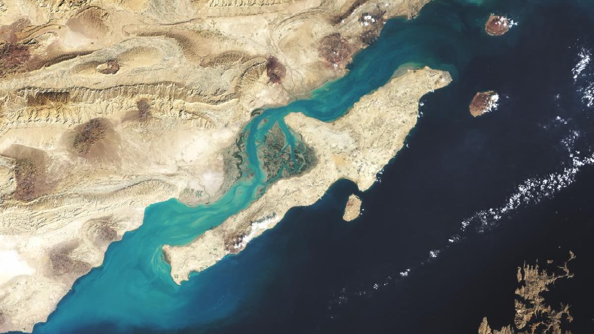
Natural-color Landsat 8 image of the Persian Gulf. The island in the image appears tan and contrasts with the blue waters and teal sediment of the tan coast.

September 26, 2025

How Early Astronaut Photographs Inspired the Landsat Program


Astronaut photographs taken during NASA's Gemini Program were part of the early inspiration for the Landsat program.

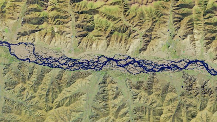
A false-color satellite image shows numerous intertwining channels of blue water spanning the middle of the scene from left to right. The river is bordered on the top and bottom by mountainous terrain, which appears tan and light green.

September 2, 2025

Braided River in Tibet Redraws Its Channels


As the Yarlung Zangbo River twists through Tibet, it collects world records. Watch the planet's highest-altitude major river change its channels over decades.

May 22, 2025

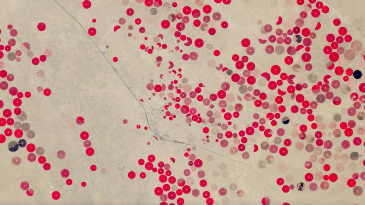
Saudi Arabia’s Desert Agriculture


In this mesmerizing animation, crop fields in Saudi Arabia cycle through their growing seasons in 2024 and early 2025. In the water-scarce desert of Saudi Arabia, water for crops is pumped from aquifers buried deep underground. 

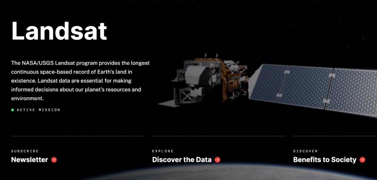
A screenshot of the new Landsat Science website. There is an artist rendering of the Landsat 8 spacecraft on the right and on the bottom are three buttons to learn more about Landsat.

Landsat's New Look


Over the past few months, the Landsat Project Science Support team has worked hard to bring you a reimagined Landsat website as part of an agency-wide web modernization initiative. Explore the new, improved home for Landsat history, stories, images, and resources.

Our Favorite Earth Observatory Images

September 13, 2025

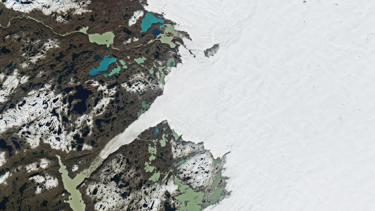
Greenland's Ice Sheet Gets a Refresh


A moderately intense season of surface melting left part of the ice sheet dirty gray in summer 2025, but snowfall has since freshened its appearance.

A satellite image shows the same area several weeks later. A new layer of snow makes the ice sheet appear mostly white and shows up as patches on the land.

June 7, 2025

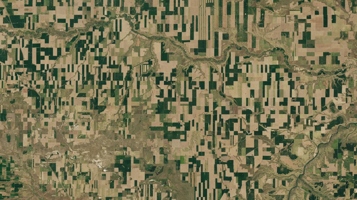
Geometry in the Golden Triangle


Agricultural fields in north-central Montana, where wheat grows in abundance, display captivating patterns when viewed from above.

March 13, 2025

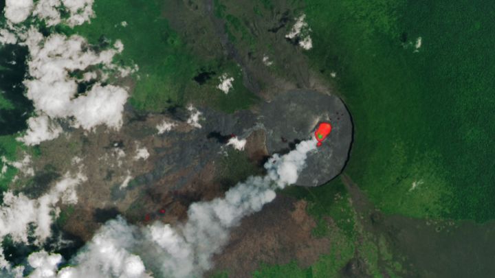
Nyamulagira Brings the Heat


Clouds parted to reveal fresh lava flows on the slopes of the East African Rift volcano.

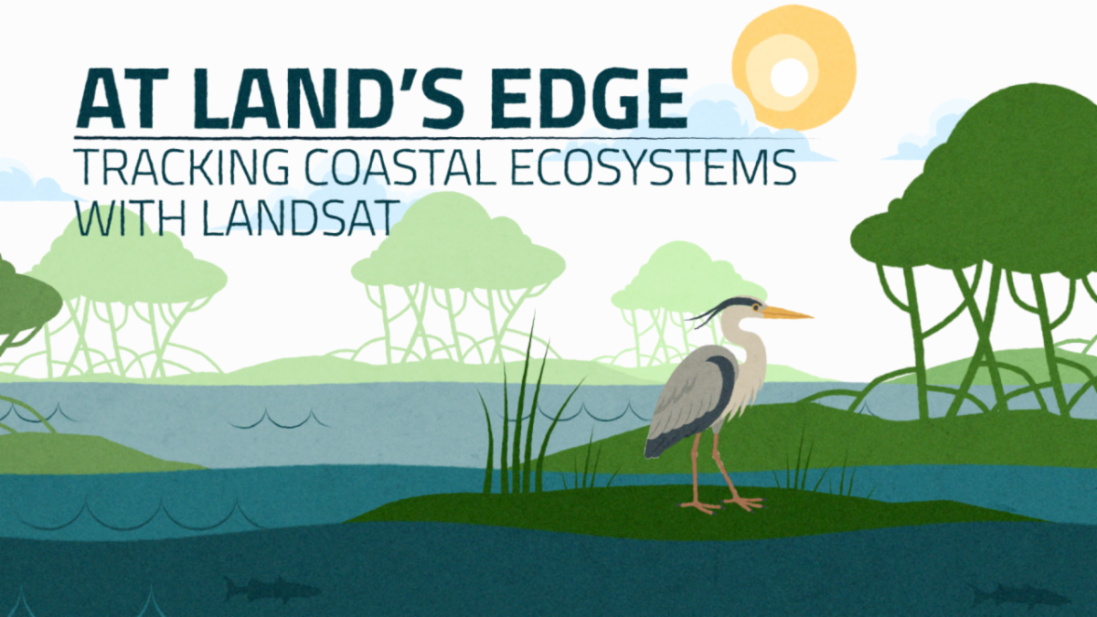
One Great Watch from 2025

Discover how Landsat’s 50-year record of Earth helps scientists track the health of coastal ecosystems—from Florida’s mangroves to Canada’s eelgrass meadows—while providing tools like STREAM to monitor water quality and reveal changes at the edge of land and sea.


+ Watch the video

Thank you for being a subscriber! We've got a lot more in store for 2026.

"Thank you" spelled out in letters from the Your Name in Landsat online interactive. Each letter is a different Landsat image.

Did someone forward you this newsletter? Subscribe here if you'd like to be on our mailing list.

science.nasa.gov/landsat

Facebook  X