X  Youtube  Linkedin

NASA Harvest's Monthly News

Fields of the World: A Global Map of Fields for Real-World Use

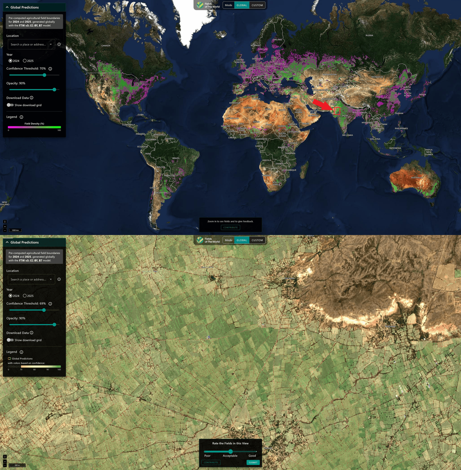
NASA Harvest partners have released the first global agricultural field boundary map at 10-meter resolution, covering more than 3 billion field units across 241 countries and territories.


Built from Sentinel-2 imagery, the Fields of the World dataset maps where individual farm fields begin and end, providing a critical source of information that has been unavailable across much of the world despite its importance for estimating yields, tracking water use, and monitoring agricultural risk.


The release also includes tools that allow users to generate field boundaries from recent satellite imagery, making field-level analysis possible in regions where reliable agricultural maps previously did not exist. Researchers, governments, and development organizations can now work with field-scale data in places where it was previously unavailable.

NASA Harvest Demonstrates Harvest2Market at CSIS Food Security Forum

NASA Harvest’s Harvest2Market platform is designed to help analysts track how climate shocks, trade disruptions, and agricultural risks interact across global food systems. The tool combines satellite observations, crop conditions, trade data, market indicators, and food security assessments into a single dashboard built for agricultural monitoring and analysis.


NASA Harvest researchers recently demonstrated the platform at the Center for Strategic and International Studies’ AI for Food Security Forum, showing how users can explore connected risks within one interface.


By bringing together datasets that are often siloed across multiple systems, Harvest2Market aims to make Earth observation data more usable for food security decision making.


Learn more about the Harvest2Market platform here.

NASA Harvest's AI & ML Lead Awarded Grant to Advance Food Security Monitoring in Conflict Zones

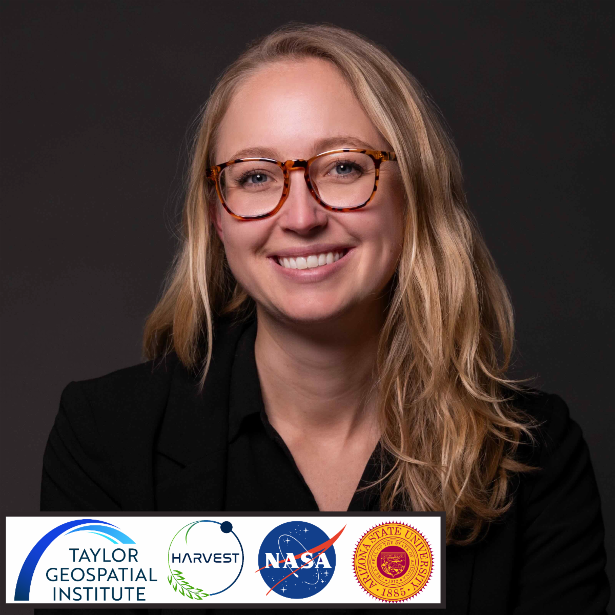
NASA Harvest's Hannah Kerner is part of a newly funded project supported by Taylor Geospatial’s Geospatial Innovation for Food Security Challenge. The project brings together NASA Harvest, Arizona State University, the University of Maryland, Washington University in St. Louis, and FEWS NET to develop AI tools that can detect disruptions to crop production and food assistance infrastructure using satellite data. The project will test the tools in regions including Sudan, Ukraine, Syria, and Haiti, where delayed or incomplete information can slow humanitarian response efforts. 

NASA Harvest Highlights EO Applications for Ag with Mid-West Farm Report

NASA Harvest's Mike Humber spoke with the Midwest Farm Report about how satellite data is being used to monitor crop conditions, weather risks, irrigation, trade disruptions, and conflict impacts on agriculture. During the interview, Humber discussed how NASA Harvest combines Earth observation data with crop and trade models to help analysts and farmers make more informed decisions under changing conditions.

Job Opportunity

Arizona State University Hiring Research Operations Specialist

Arizona State University is hiring a Research Administration Specialist to support the Kerner Lab, led by NASA Harvest AI and machine learning lead Hannah Kerner. The lab works across machine learning, remote sensing, climate, geospatial science, and agriculture, including projects tied to food security and Earth observation.


The position focuses on managing the infrastructure behind active research programs, from proposal coordination to partner collaboration and student support, rather than conducting technical research itself.


The role is geared toward people interested in research operations and interdisciplinary project management within fast-moving scientific environments. Salary range is $70,000 - $100,000. The position is based in Tempe, Arizona, with applications due June 10.


Read the entire job posting here!

Upcoming Events

Harnessing NISAR: Next-Generation Radar Observations for Earth Applications

Virtually July 2nd, 9th, and 16th

NASA ARSET is offering a free three-part training on the newly launched NISAR mission, which uses radar to observe Earth's surface day and night and through most weather conditions. Participants will learn how to access, visualize, and analyze NISAR data, with examples covering flooding, earthquakes, landslides, and other Earth science applications.


Sessions will be held July 2, 9, and 16 in both English and Spanish.


Learn more and register here.