CCCMB is pleased to share exciting news regarding the legalization of the West Cuesta Ridge “trail system” and to ask you to consider supporting the proposed action by submitting a public comment by
November 24th
.
Positive comments are essential to ensure that the trail system be legalized and that trails remain permanently open.
[See sample comment below]
The great news
: The Forest Service has begun the NEPA process intended to legalize most of the existing trails on the ridge and to gate West Cuesta Ridge Road just above Shooters. That full NEPA process should be completed by Fall, 2020. CCCMB and other cyclists and trail users as well as SLO City, SLO County and the National Guard have been working closely with the F.S. for about a year to develop a mutually beneficial plan to provide appropriate recreation opportunities and to protect the Botanical Area. This announcement is just an overview of what is intended.
The proposed action will legalize most existing trails on West Cuesta and provide new trails to take the place of unsustainable ones.
While the Forest Service has not traditionally had the resources to regularly close unsanctioned trails or to ticket trail users, mountain bikers and other will always be at risk of losing access to trails if they are not legal. This plan will ensure that riders can use trails on West Cuesta without risking fines or closure.
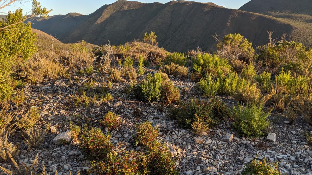
The plan will also protect the Botanical Area and other natural areas by closing the ridge road to motorized traffic and mandating short, sustainable reroutes of trails to protect resources while allowing trails to maintain their “aggressive ridge character”.
Although the situation is more complicated than can be thoroughly explained here, the plan is based on two basic premises:
1. Given the popularity of the West Cuesta Ridge area and the recreation use it receives, there is a need for sustainable recreation opportunities. Connectivity with SLO City and Poly trails is important and unavoidable. The F.S. understands that it needs to work with the local stakeholders i.e. trail users (cyclists in particular), other invested organizations and public land managers to provide a much-needed sustainable trail system which provides recreation opportunities while protecting important natural resources.
If this plan is adopted
this is what it means for trails:
Firebreak, Chrome, Moto, Shooters, Botanicals and Morning Glory will be legalized.
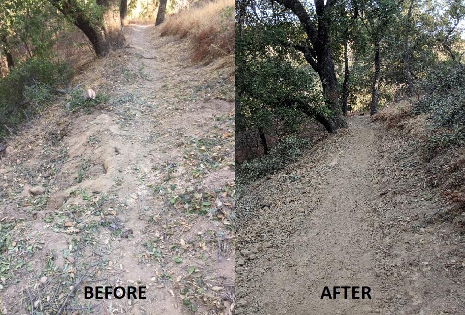
Work will be done on each to minimize erosion and to make them sustainable for the long run. That will be done by constructing drainage features and doing short reroutes. [Several cyclists very involved with ridge trails and CCCMB folks spent much of July and August flagging possible reroutes and new trails with the expressed goals of keeping the trails essentially the same while meeting F.S. standards.)
Also, three new trails will be created.
The first, an extension to Moto, will begin at the Botanical Area kiosk (near the top of Firebreak). It will be multi-use and serve as an interpretive and recreational trail. The second new trail will take the place of Pick and Shovel. It will start near Moto and end near the bottom of Firebreak. Pick and Shovel can’t be legalized because it is mostly on National Guard property and the Guard is absolutely opposed to public trails. The third new trail will take the place of What Trail. It will be a two-way, multi-use trail which connects El Chorro Regional Park to the ridge road. It will provide an additional way to get to the top of the ridge from the trailhead and bike park which the County has planned.
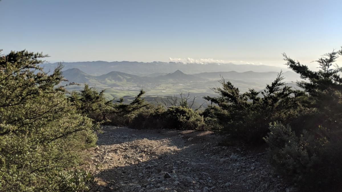
2. The Botanical Area has been seriously damaged and continues to be impacted every year by unfettered dispersed camping and illegal motorized traffic. Illegal motorized use has gradually and steadily destroyed resources by creating 4- wheel drive roads and creating and expanding dispersed camping areas. That widespread dispersed camping has raised the threat of wildfire exponentially in the last few years. [Almost any day during the camping season you can find abandoned and smoldering campfires along the ridge road.] It is no one’s first choice to close the road and deprive the public of the chance to enjoy the ridge and its panoramic views. However, the F.S. and local law enforcement do not have the resources to patrol the ridge. The compromise reached is to allow partial access by gating the road just above the large overlook above Shooters. A gate at that point would allow folks to get up on the ridge, camp and enjoy the views while protecting the Botanical area.
So, what happens between now and next fall?
- Essentially nothing changes until the NEPA process is completed.
- In the meantime, cyclists and other trail users need to be respectful of the Forest Service and community’s efforts and DON'T BUILD ILLEGAL TRAILS ON THE RIDGE.
- Do your part to make this plan a reality and submit a positive public comment by November 24th.
SAMPLE PUBLIC COMMENT
– The points below are a few of the topics you might comment on in your public comment. There are other ways to submit public comment. They are spelled out in the
F.S. Scoping Letter
.
Email to: comments-pacificsouthwest-los-padres-santa-lucia@usda.gov
To: Alicia Sanchez Scott
Topic: West Cuesta Ridge
I am writing you to express my support for the West Cuesta Ridge project. I believe the proposed actions are well designed to protect the Botanical Area while providing opportunities for recreational and interpretive activities.
- This plan will make it easier for the F.S. to meet its obligations by engaging the community (public land managers and the trails community) in making sure the trails meet standards and monitoring activity on the ridge
- It meets the recreational needs of the local community by essentially keeping existing trails.
- There is no realistic way of eliminating illegal trail building except by legalizing existing trails (and making them sustainable).
- Adopting existing trails and allowing for needed new trails meets interpretive goals for the Botanical Area and provides equestrians with much needed access to the ridge.
- The project will protect the Botanical Area by eliminating motorized vehicle traffic and therefore the negative impacts of dispersed camping and 4-wheel drive and motorcycle activity.
- Gating the road will greatly reduce the likelihood of wildfire from illegal campfires.
- The proposed gate location is a good compromise which provides motorized access to the ridge while protecting the Botanical Area and other natural resources.
Thank you very much for the opportunity to support this plan.
Your Name