|
PacIOOS has officially been recertified by NOAA as a Regional Coastal Observing System for the next five years. This important milestone confirms that our governance procedures and data management methods continue to meet rigorous federal standards for quality and reliability. By maintaining our status as a trusted regional entity within the U.S. Integrated Ocean Observing System (IOOS), we can ensure that ocean users and partners across the Pacific Islands continue to have access to the high-quality information they depend on. We are thrilled to keep serving our community through 2031 and beyond! [Image: PacIOOS Logo]
| | PacIOOS Tools and Services | | Palau Wave-Driven Flooding with Sea Level Rise Viewer | |
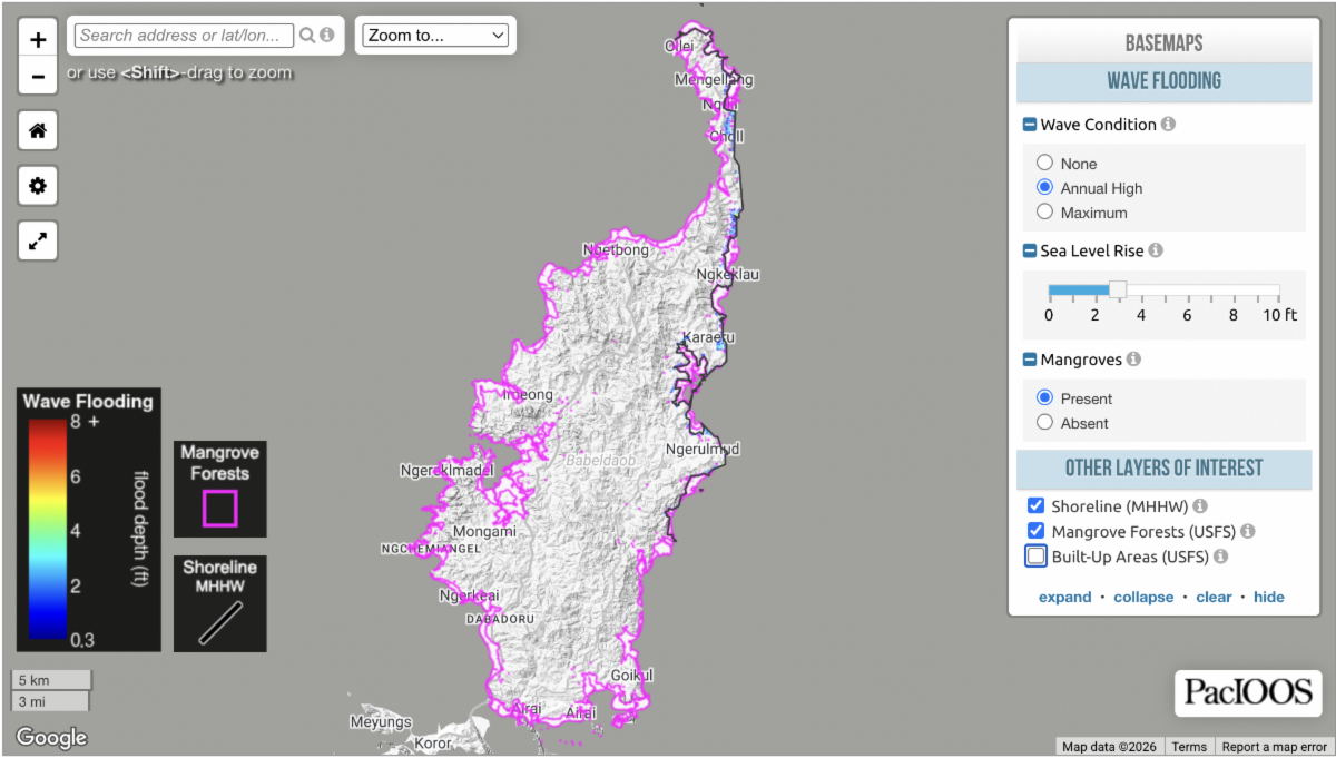
 | | The Wave-Driven Flooding with Sea Level Rise viewer for East Babeldaob, Palau is now available as a beta version on the PacIOOS website. Developed by the PacIOOS Wave-driven Coastal Processes Research group (WaveCPR) at the request of the Palau National Weather Service, this interactive tool enables users to assess projected coastal flooding along the eastern coastline of Babeldaob under different combinations of sea level rise (SLR), wave conditions, and mangrove coverage. This effort was made possible through strong collaboration with partners in the Republic of Palau. We gratefully acknowledge the Palau Automated Land and Resources Information System (PALARIS) for providing high-resolution topobathymetric data, and David Idip (PALARIS) for coordination and support. We also thank the Palau Weather Service for their continued collaboration, and the Coral Reef Research Foundation (CRRF) for their guidance and assistance in identifying vulnerable coastal areas and supporting validation efforts. Special thanks to Xavier Erbai Matsutaro, National Climate Change Coordinator at the Palau Office of Climate Change, for his strong support and valuable guidance. The viewer remains under active development, and content and features may continue to evolve. Feedback and suggestions are welcome at fzmihami@hawaii.edu. [Image: Palau Wave-Driven Flooding with Sea Level Rise Viewer. Credit: PacIOOS]
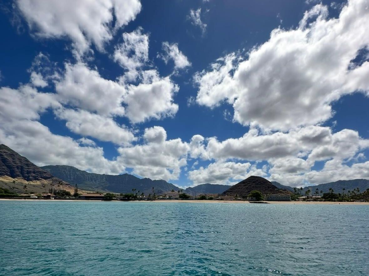
| | Deep Ocean Research and Imaging System Workshop | | |
PacIOOS partnered with the Ocean Discovery League, Blue Robotics, and the Hawaiʻi Institute of Marine Biology for the Deep Ocean Research and Imaging System (DORIS) workshop on Moku o Loʻe from April 11-15. DORIS is a low-cost deep-sea camera system designed to make ocean exploration more accessible to researchers and communities around the world. Workshop participant Vincent Maverick Jagon, an undergraduate at UH Hilo, brought with him the hopes of the Keaukaha community and his home island in American Samoa to gain not only technical knowledge, but also the understanding that accessible technology will shape the future of deep ocean exploration for island communities, students and local researchers seeking to understand and protect their ocean home. Read Vincent’s summary of his DORIS workshop experience here. [Photo: Maverick and Valentine Vaeoso with DORIS. Credit: PacIOOS]
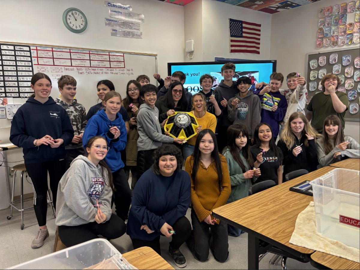
| | AOOS and PacIOOS Partner to Share Backyard Buoys with Students in Alaska | | |
Alice Bailey (Alaska Ocean Observing System) and Ali Chene (Pacific Islands Ocean Observing System) brought the Backyard Buoys Project to life for students in Sitka, Alaska. In partnership with the Sitka Sound Science Center, the team engaged 7th grade classrooms at Blatchley Middle School in a hands-on exploration of ocean science. Students learned how coastal communities in both the Pacific Islands and Alaska regions deploy Sofar Spotter buoys to collect real-time data on waves and ocean conditions. Students learned how the project began, how communities are using the data today, and how wave information connects to everyday decisions—from understanding ocean patterns to improving boating safety. Students also discovered how to access and explore buoy data themselves and practiced collecting data with miniature wave buoys in the classroom. To learn more, check out our web story. [Photo: 7th graders at Blatchely Middle School with a Backyard Buoy. Credit: Backyard Buoys]
| | Presentation at Conference on Island Sustainability | |
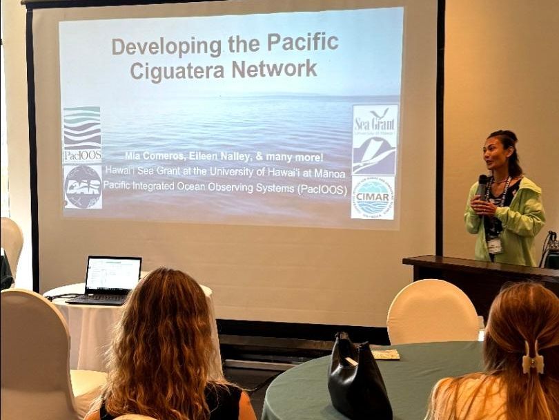
| | | The Conference on Island Sustainability (April 20–24) convened in Guam under the theme Illuminating the Path to Prosperity, carrying particular weight as Guam, CNMI, and Chuuk begin their recovery from Super Typhoon Sinlaku. The theme speaks to something Pacific communities have long known; resilience is a lived, reciprocal commitment to land, ocean, and people, rooted in Indigenous Knowledge and practice across generations, and increasingly essential as climate impacts across the region intensify. Presenting in the Island Health and Wellness session, PacIOOS Deputy Director Mia shared updates from the Pacific Ciguatera Network (PCN), led by Dr. Eileen Nalley at Hawaiʻi Sea Grant and supported by the National Harmful Algal Bloom Observing Network (NHABON) and PacIOOS. PCN is building shared knowledge and standardized monitoring across the U.S.-Affiliated Pacific Islands to better understand and respond to ciguatera poisoning, the most common toxin-related seafood illness globally and a priority raised by community partners. The session underscored a core takeaway aligned with the conference theme: island health, coastal health, and public health are inseparable, and prosperity in island communities is grounded in this wholeness, sustained through collective care and shared responsibility. [Photo: Mia presenting at CIS 2026. Credit: Darren Lerner]
| | |
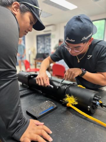
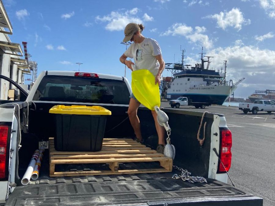
Kate Feloy recently graduated with a PhD in Physical Oceanography from the University of Hawaiʻi at Mānoa and is joining PacIOOS as an ocean technician for the summer of 2026. Kate’s research interests lie in improving our understanding of small-scale ocean dynamics and regional climate impacts. In her new role, Kate will be using ocean models to determine how local dynamics affect ecosystems and climate change impacts across the Pacific. Kate will also be supporting the wave buoy team with operations and logistics and is looking forward to spending time in the field. [Photo: Packing spotter buoy moorings for shipment to Palau. Credit: PacIOOS]
| | |
The Fiscal Year 2027 President’s Budget for NOAA once again proposes the elimination of IOOS Regional Observations, a move that would effectively dismantle the Pacific Islands Ocean Observing System (PacIOOS) and the 10 other regional associations across the nation. Since 2007, PacIOOS has been providing real-time data and tools that the Pacific Islands rely on for maritime safety, disaster preparedness, and economic resilience. From wave buoys that ensure safe harbor entries to high-frequency radar used by the U.S. Coast Guard for life-saving search and rescue missions, this infrastructure is irreplaceable. Cutting this not only creates data gaps in our ability to forecast coastal hazards, but also jeopardizes the safety, livelihoods, and traditions of our island communities. Visit the IOOS Association website to learn how you can share your support for IOOS and PacIOOS through letters and testimony to local, state, and federal representatives. [Image: IOOS Association logo]
| | | | |