|
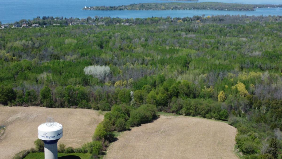
The property boundaries are being assessed by an Ontario Land Surveyor to update survey documents and establish clear property boundary markings in the field.
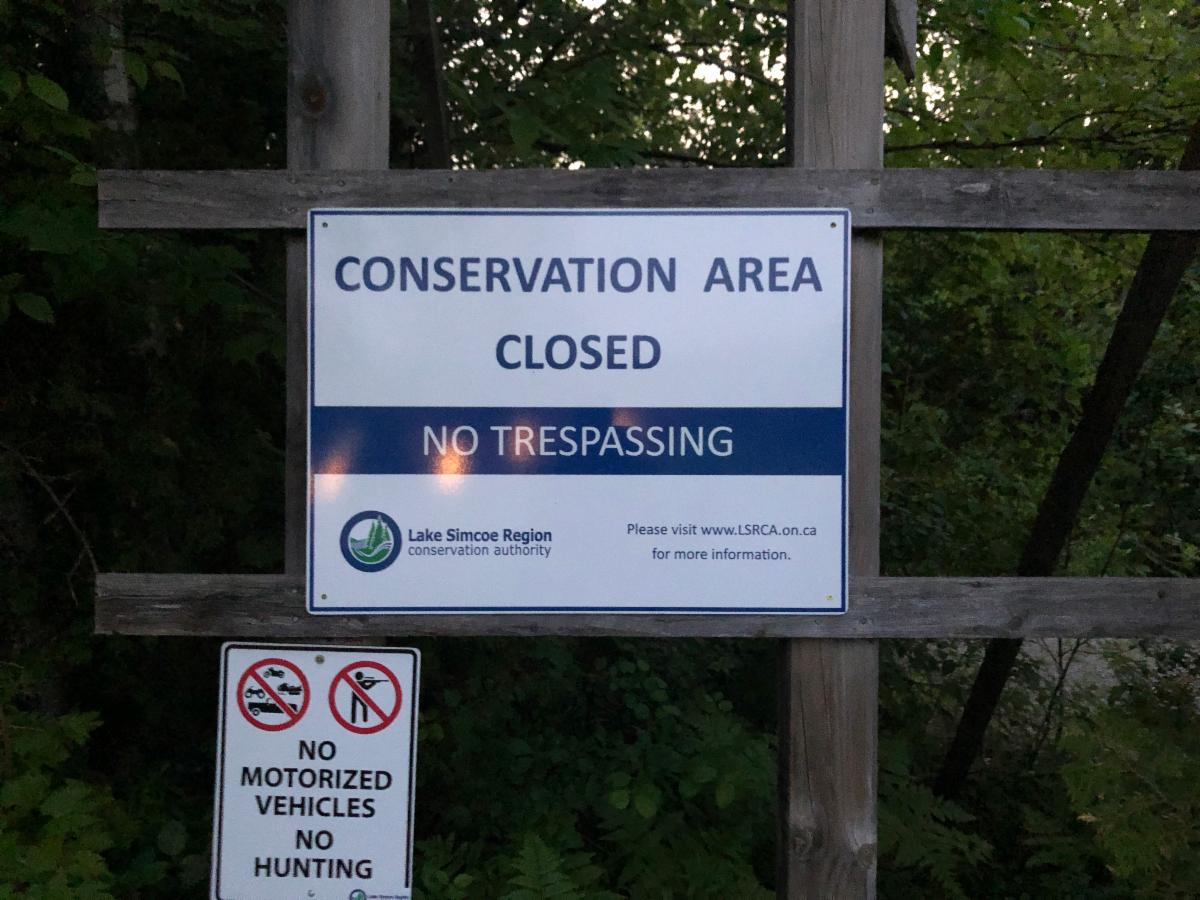
Once complete, several kilometers of new farm fencing will be installed to close the property and confirm boundaries. Access gates will also be installed at critical points to permit access for Authority staff to undertake property maintenance, management and ongoing monitoring and assessment.
We'll also be developing a long-term management plan that will include consultation with the public (so expect to hear more from us on that front!), including municipal and private stakeholders and Indigenous communities. Development of this long-term plan will take a few years to complete and will be subject to funding support.
We’re excited to announce that we’ve received provincial funding to support some initial studies that will inform the long-term plan for the property.
We’ve gone out to tender on the project to hire a consultant that will provide three deliverables which we expect will be completed in the first quarter of 2023.
The deliverables include:
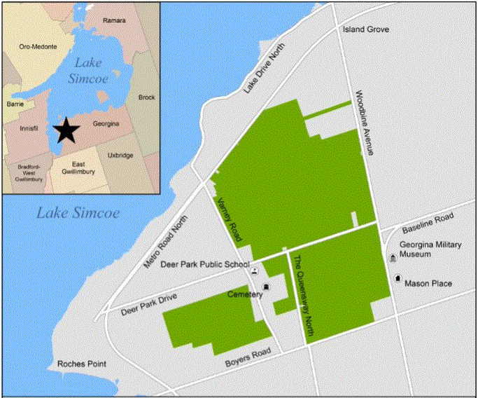
1) A baseline report for the entire land holding of 5 parcels, which will establish what the existing site conditions are.
2) A stewardship plan identifying site-specific issues and providing stewardship recommendations and priorities.
3) Identification of opportunities and constraints for potential development in keeping with the provincial zoning order. Note that while the lands have been designated Environmental Protection under the zoning order, existing legal uses are permitted to continue (for example, agricultural uses). Ongoing and future agricultural uses will be assessed as part of the existing condition reporting and in greater detail as part of the longer-term Master Plan for this property.
|