Temporarily Closed Due to Coronavirus Pandemic
Our shop is normally open:
Monday - Saturday:
10am - 5pm
Sunday:
12 noon- 5pm
You can shop online
any day, any time:
Or give us a call at:
508-945-1660
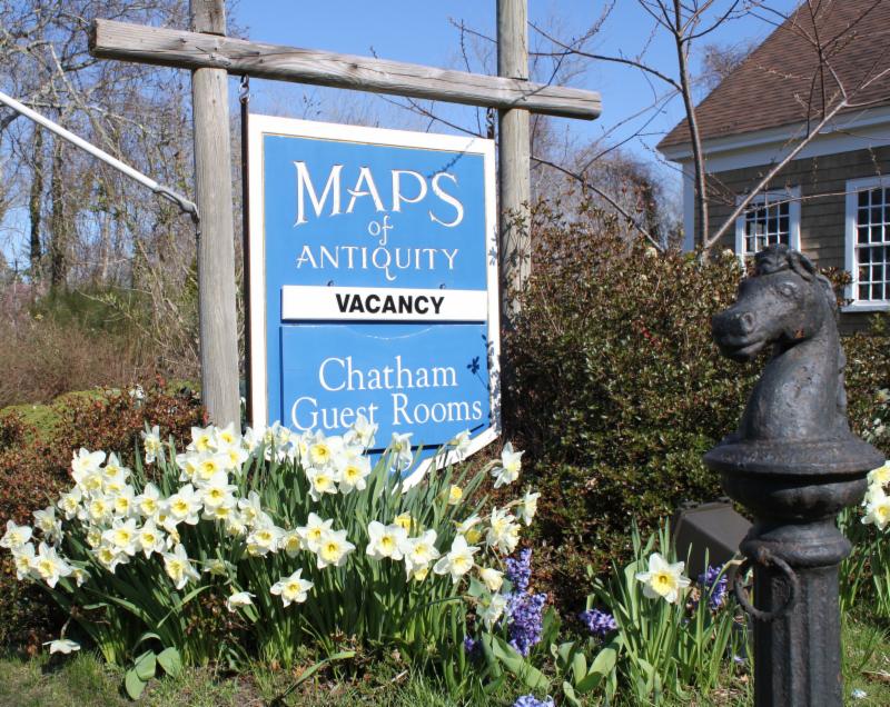
If you or your loved-ones need accommodations, send them over to our converted 18th century farmhouse,
Chatham Guest Rooms
. We have been very
well reviewed
on TripAdvisor!
Planning your summer adventure?
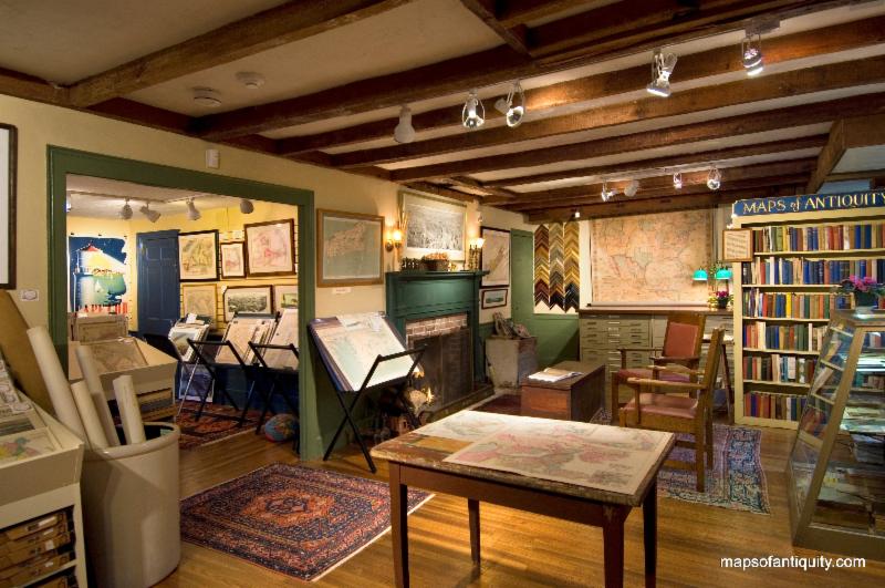
If you visit the Cape, we recommend you stay in one of our rooms at Chatham Guest Rooms! The rates are reasonable and you will be staying in the building that is home to Maps of Antiquity! You can pop in to look at maps quite easily during business hours. Book early because the summer will fill up quickly!
|
|
|
HELLO MAP LOVERS,
Things have certainly changed since our last email. The world is suddenly quite a different place and we are all finding our way through these changes. We sincerely hope you are doing well, staying safe and healthy. If you are an essential worker, thank you for your important work!
Our shop is closed per Governor Baker's order, but thankfully our website is still open and ready to take orders. We are shipping within a few days of receiving orders, and the postal service is running a bit slower in places, but for the most part all is well. We truly appreciate your business and your support during this difficult time. Hopefully it won't be too long until we can welcome you back to browse maps at the shop!
If you are interested in some fun map-related activities for kids and adults, make sure to scroll to the bottom of this email!
As always, you can see our recent acquisitions by
visiting our Newly Listed category
, which is updated as often as we can manage. If you are looking for something specific, we recommend using the 'Search' function at the top of our website or the menu on the left side of the web page. It is advisable to v
iew our website on a computer (not mobile) for best image quality and enlargement.
|
|
New Items for April 2020:
(in no particular order)
|
|
|
|
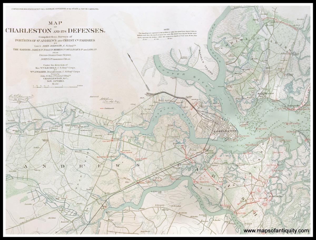
Part of Plate 4. Defenses of Charleston City and Harbor, 1863 and 1864 (close-up of Charleston map)- 1891
|
|
|
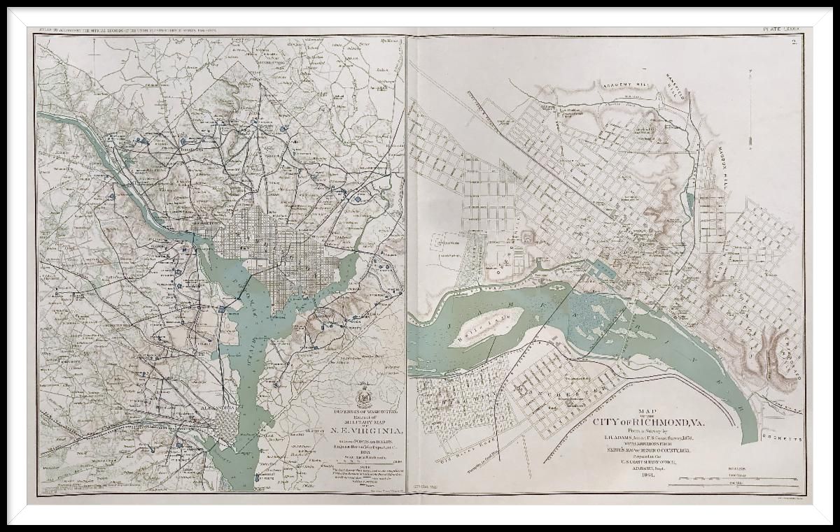
| Plate 89. Defenses of Washington DC showing Forts and Roads / Map of the City of Richmond, VA. - 1893 |
|
|
|
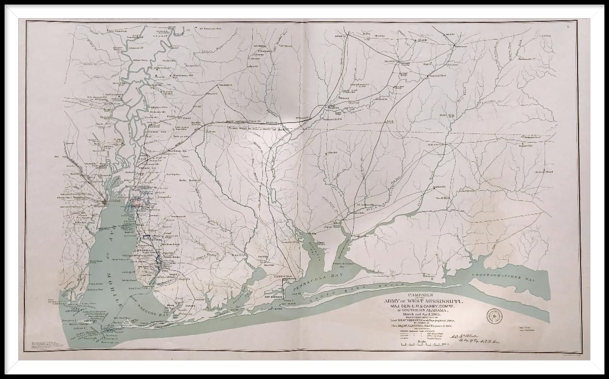
| Plate 110. Campaign of the Army of West Mississippi, Major Gen. E.R.S. Canby, Commanding in Southern Alabama, March and April, 1865. - 1893 |
|
|
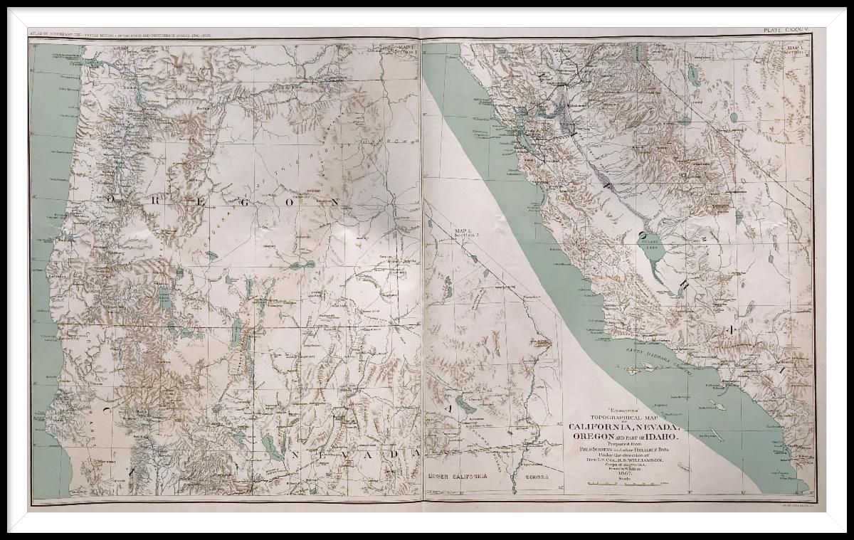
| Plate 134. "Essayons" Topographical Map of California, Nevada, Oregon and part of Idaho, 1867 - 1894 |
Folks have been asking for Civil War maps for quite a while, and we finally have had the time and space to add this series of 175 maps and prints to our website. Many of the maps show the locations of Union and Confederate forces, some show the marches of troops, and the prints give a fascinating look at the bullets, carts, cannons, uniforms, and more.
To read more about the production of the official records (not the atlas specifically but the whole of the official records)
click here
.
Use the find feature on your computer to search within the series (Ctrl+F on windows).
|
|
|
|
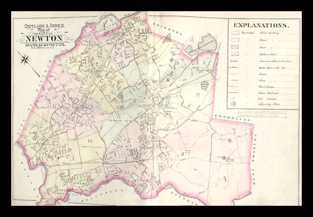
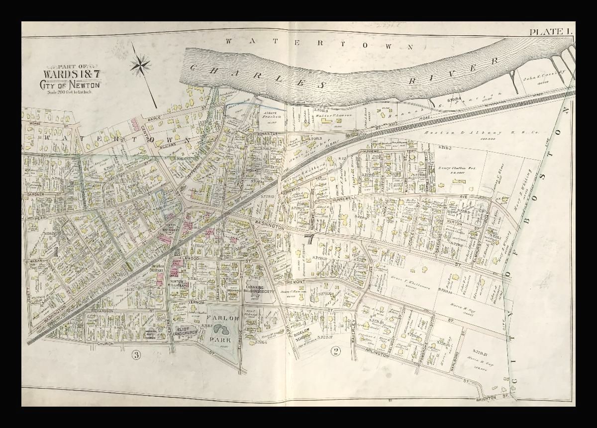
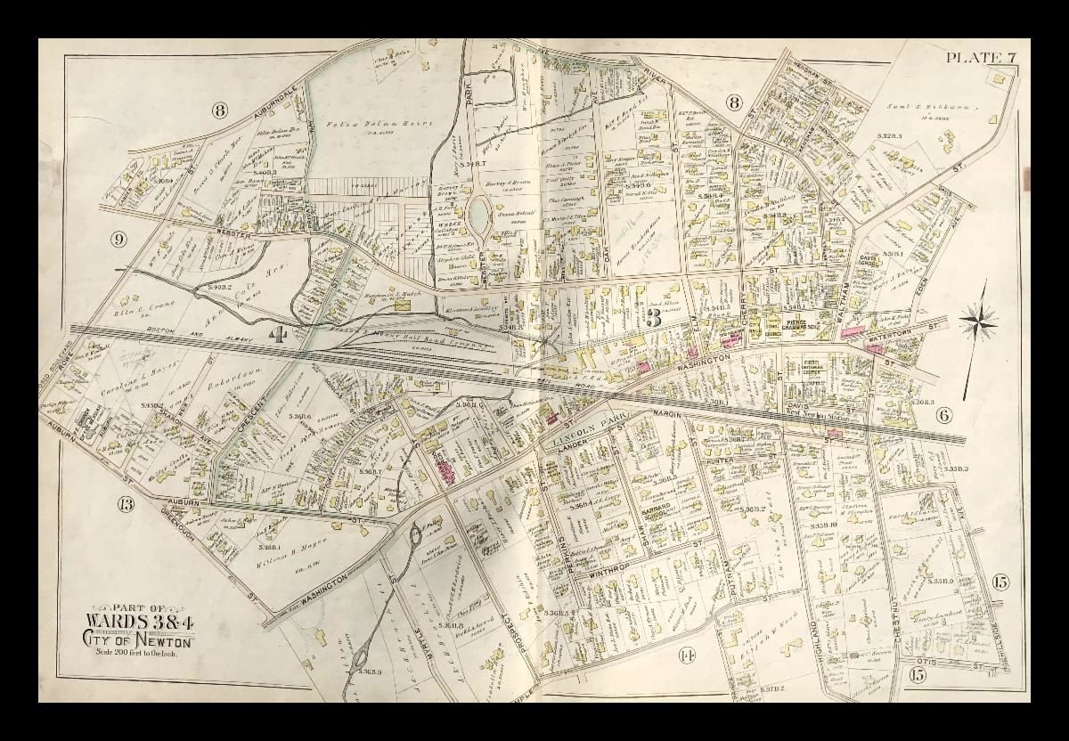
Index Map of the Town of Newton
|
These maps of Newton provide a fascinating look at the city as it was in 1895, including the types of buildings, the roads, railways, plans for changes and improvements, and the names of the property owners. We have many other maps of Massachusetts towns with similar information!
Other ward maps available:
|
|
|
|
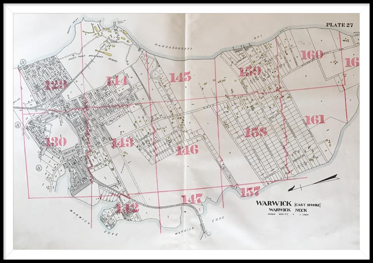
Warwick (East Shore), Warwick Neck, plate 27
|
|
|
|
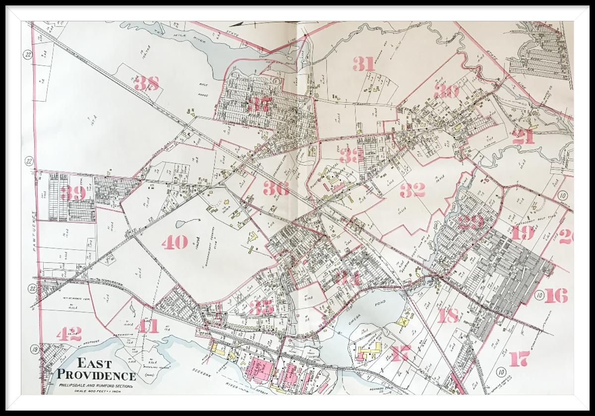
East Providence, Phillipsdale and Rumford Sections, plate 9
|
|
|
|
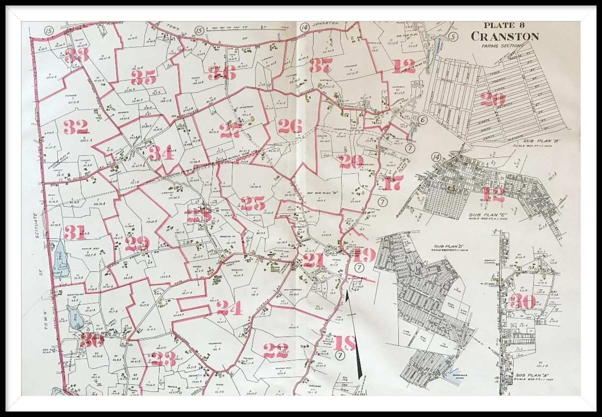
Cranston, Farms Section, plate 8
|
Similar to the Newton Atlas, this atlas of the areas around Providence provides a glimpse into the past, including well-known locations that are now gone, such as Crescent Park (a leisure park featuring a dance hall, theatre, dining hall, and more), Rocky Point Amusement Resort, and other interesting places. Note that the property owners names are not listed on these maps- instead they were included in the back of the atlas in a numbered key.
|
|
|
|
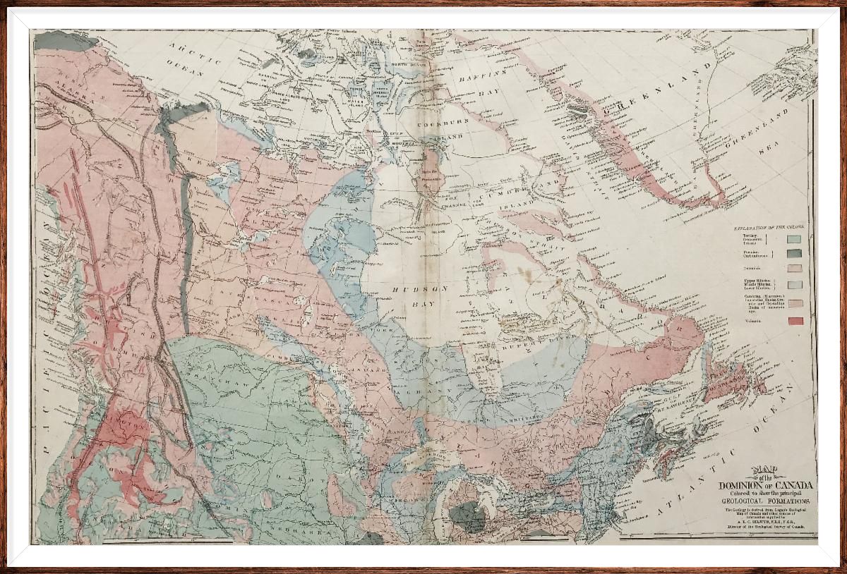
Map of the Dominion of Canada, colored to show the principal Geological Formations
|
|
|
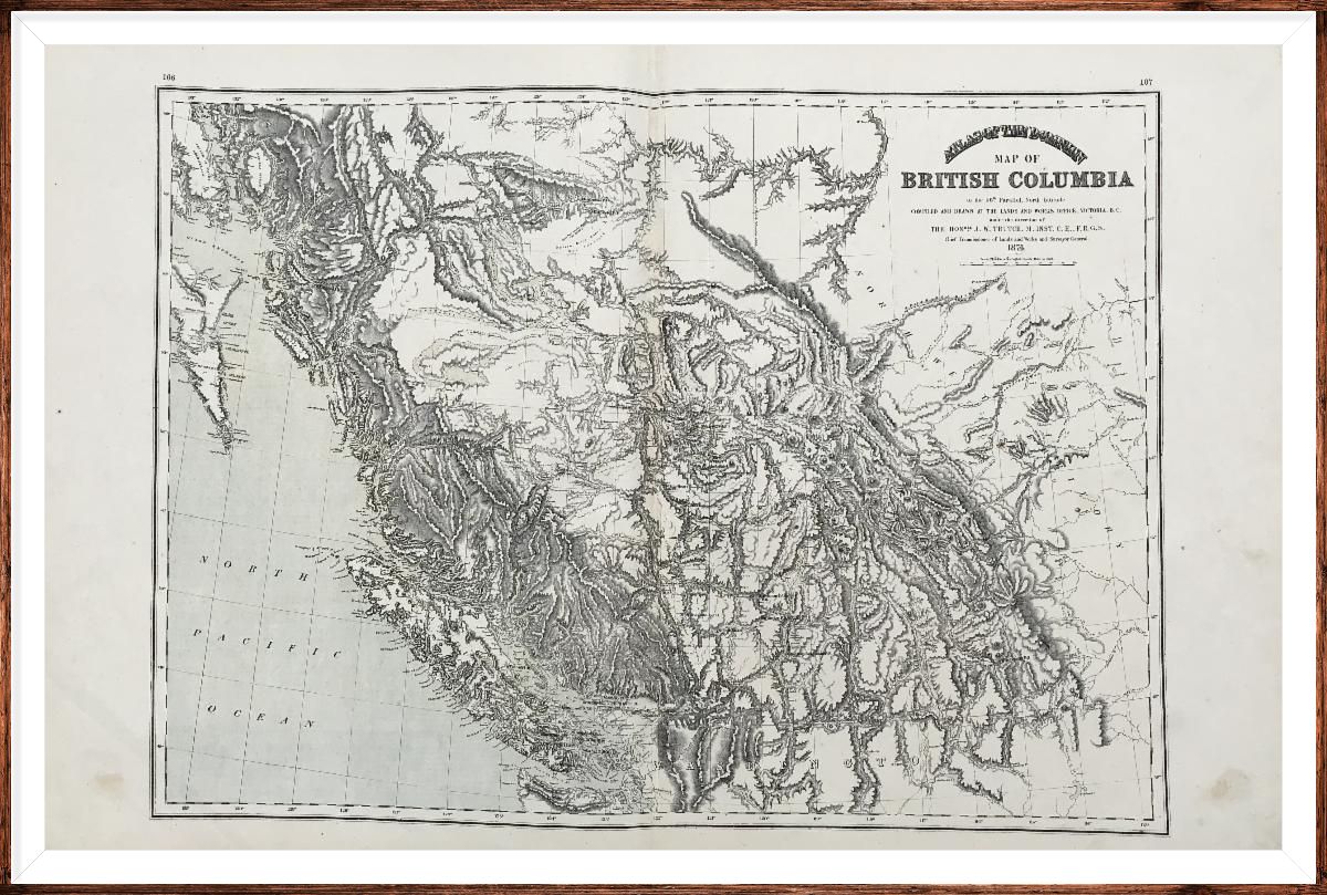
| Map of British Columbia to the 56th Parallel, North Latitude |
|
|
|
Map of the Province of Nova Scotia
|
This atlas of Canada was produced at an interesting time in the country's history. Canada became a self-governing dominion within the British empire in 1867, less than ten years before this atlas was published. British Columbia and Prince Edward Island were new additions to Canada. And Manitoba is shown as it was originally- much smaller than it is now.
|
|
|
|
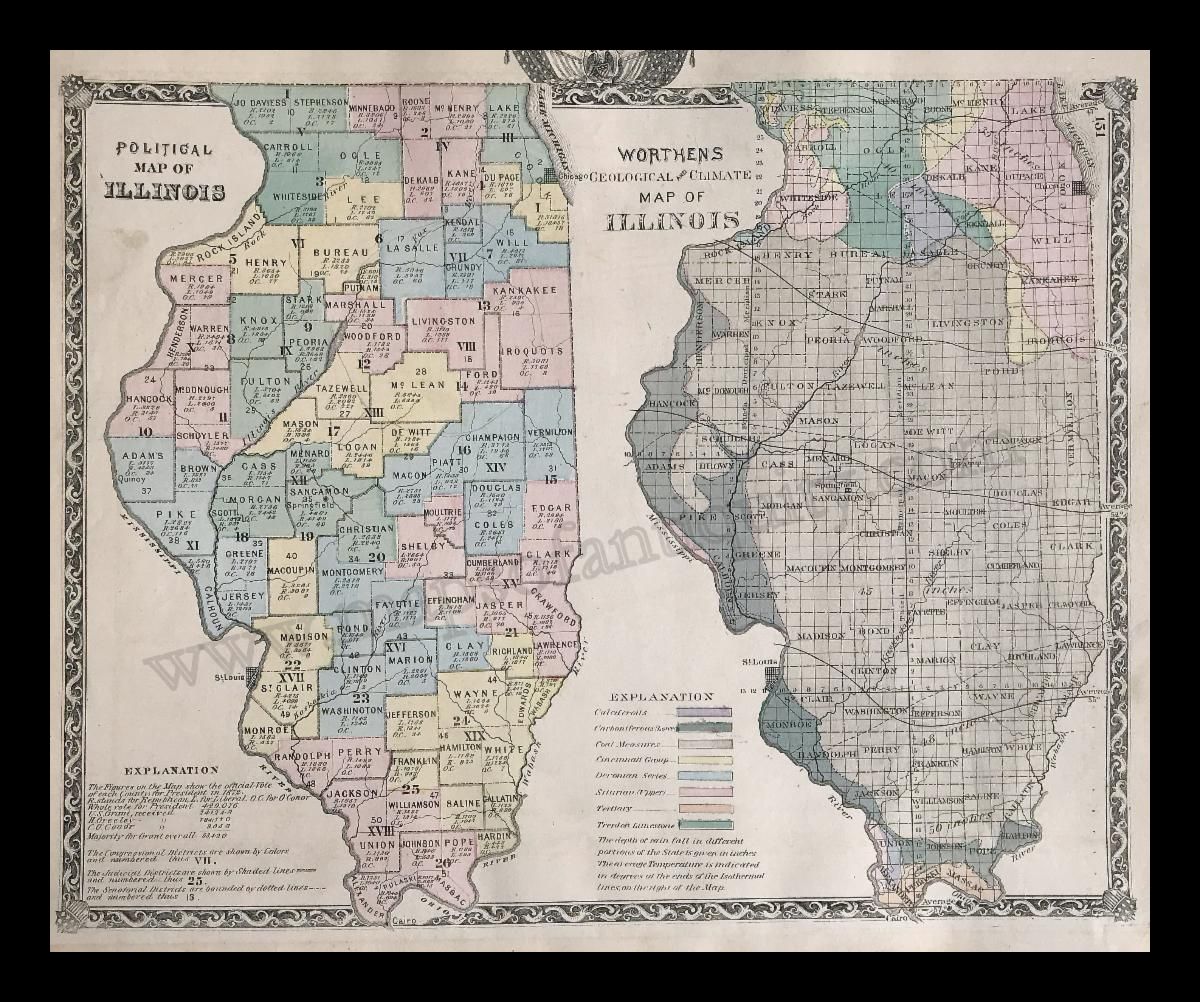
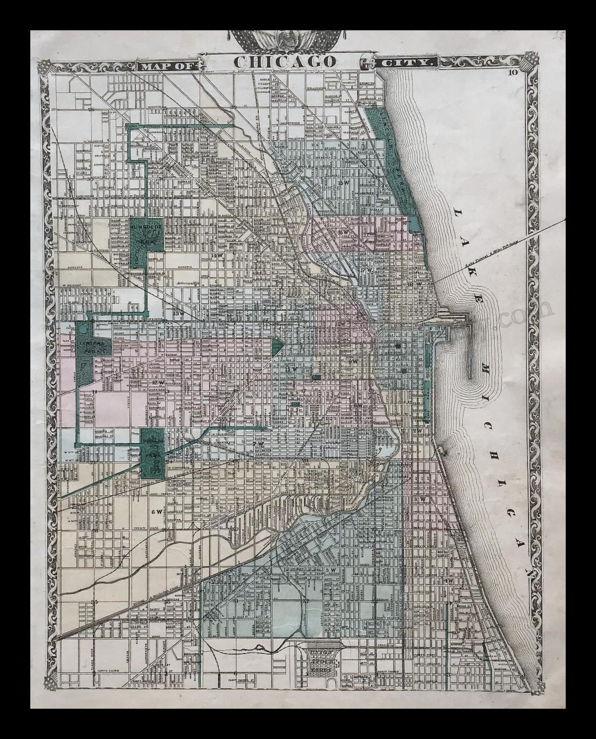
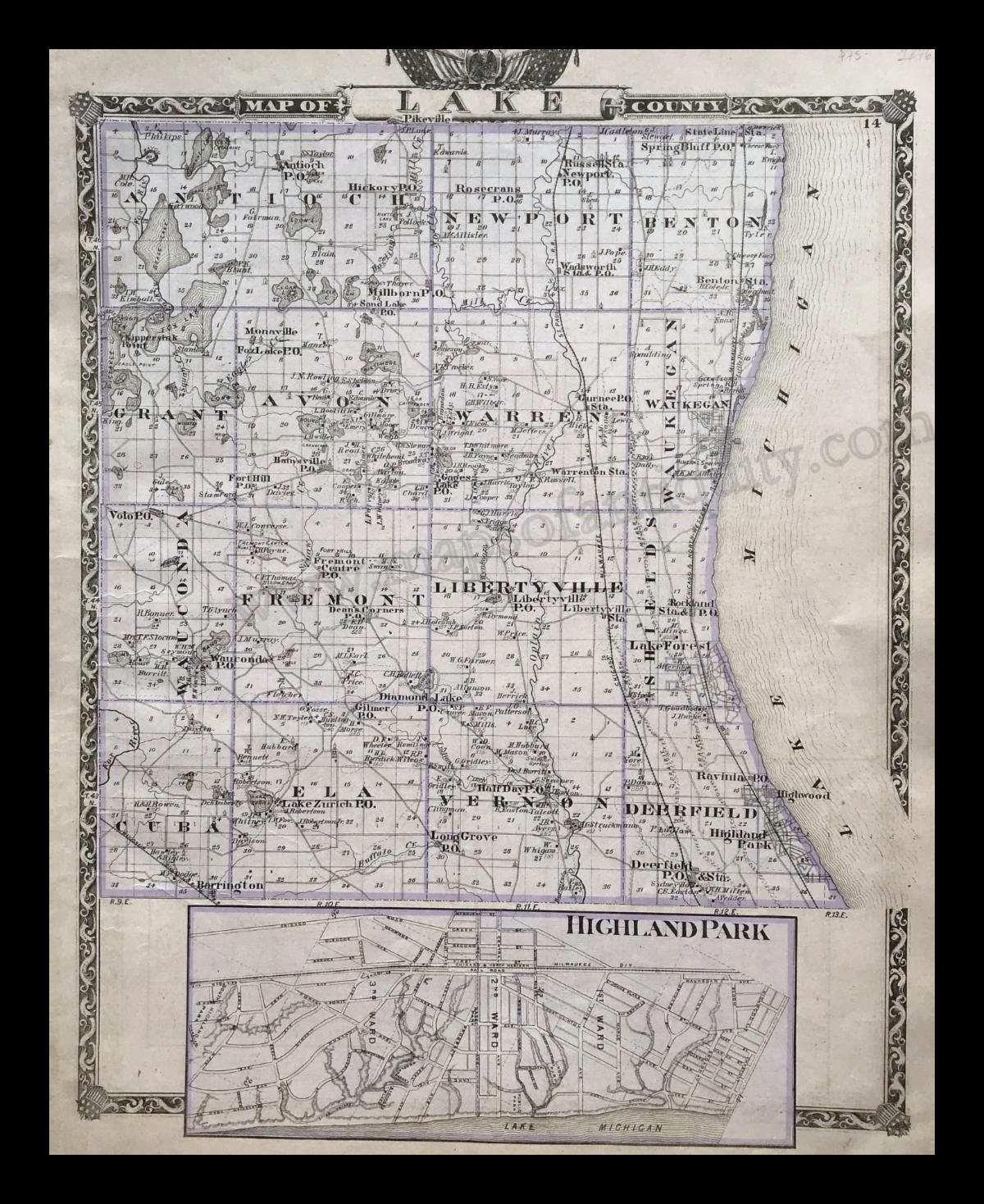
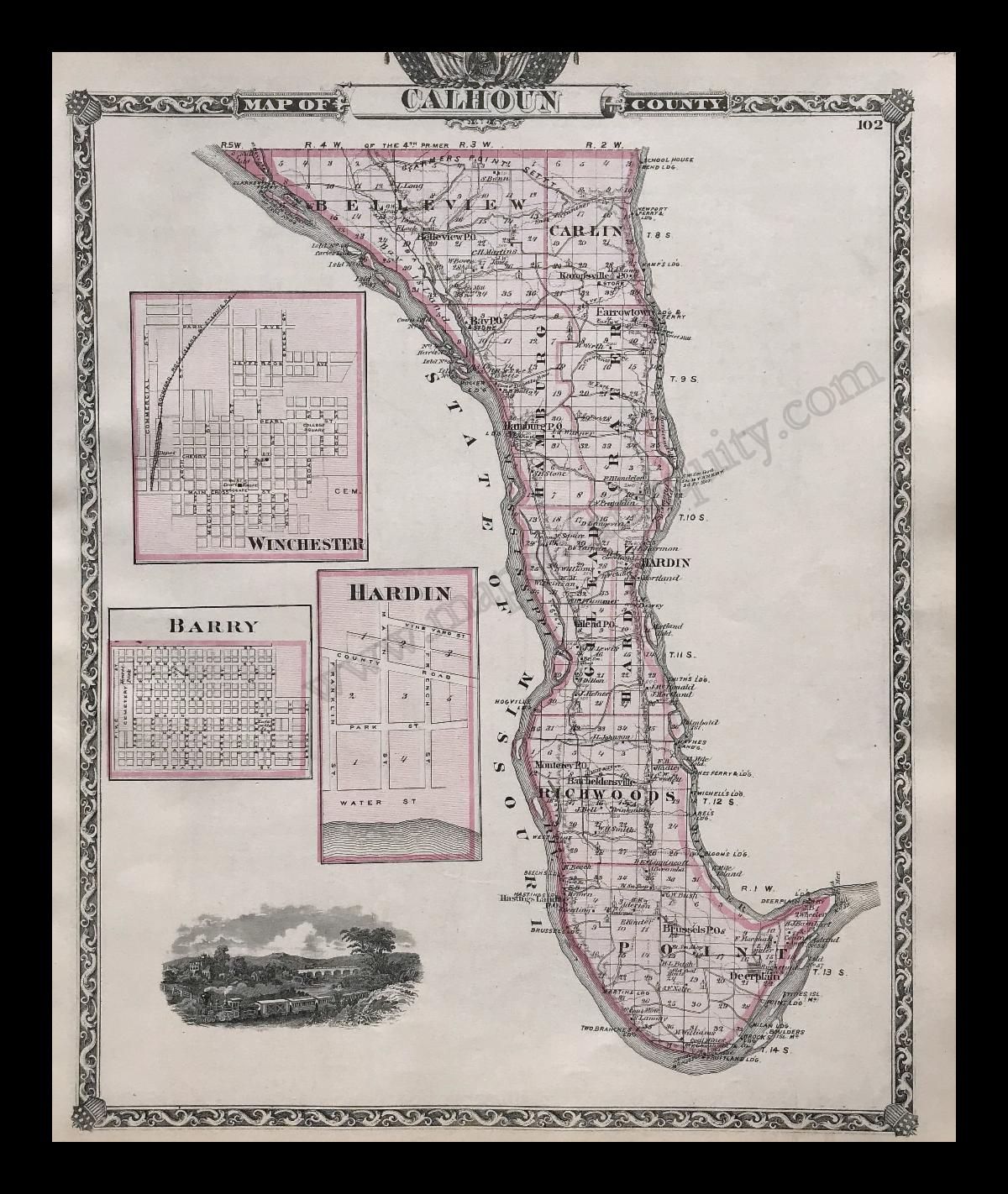
Political Map of Illinois & Worthens Geological and Climate Map of Illinois
|
This atlas of Illinois features maps of each county and many city maps, all with handsome decorative borders and some with small illustrations. If Illinois is you interest, then this atlas will likely hold something to delight you!
|
|
MAP FUN YOU CAN ENJOY AT HOME
|
|
|
|
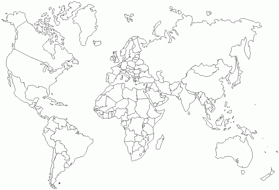
| Map Coloring Pages Free Online! |
We know that this is a strange and overwhelming time for many of us, so we wanted to provide some fun and free map activities that can be enjoyed by anyone!
Free map coloring pages:
Online historical map coloring:
Geography games online:
Geography Game App:
From National Geographic, there's the GeoBee Challenge!
|
|
 |
| Find us on Social Media for more updates |
Do you tweet, follow, like, and pin? Well, Maps of Antiquity has an active Facebook page where we post map-related articles, unusual maps and prints that we add to our website, company news, and answers to frequently-asked questions.
On Pinterest, we display some of our maps and prints and add opinions and comments about specific pieces. We also provide boards with decorating ideas.
On Twitter, Maps of Antiquity offers links to articles and brief news. We also periodically update Google Plus and LinkedIn with company news and product information.
Follow us on Instagram for fun posts like #MapMonsterMonday and snapshots of the shop!
So if you are spending time on social media, be sure to look us up. Also, if you have a preferred social media where you think we should be active....let us know!
|
|
|