|
Partnerships Made This Possible—Full Stop
If this accomplishment demonstrates anything, it’s that partnerships are our most powerful tool.
Over the past eight years, California’s LiDAR effort has drawn support from every corner of the state and nation: financial contributors large and small, visionary thinkers, educators, champions who tirelessly advocated for the work, and end-users who showed—again and again—how essential this data is for making informed decisions about safety, climate resilience, water management, land use, vegetation mapping, emergency response, and community well-being.
In his presentation, Nate Roth shared a map showing where LiDAR has been acquired to illustrate that nearly every major portion of California’s coverage came from projects involving multiple partners. Collaboration isn’t just helpful; it's the engine that powers possibility.
All of the presenters lauded the long list of contributors. The list below is an incomplete effort to record them all. With so many contributors, we surely missed some.
Federal: USGS, FEMA, NRCS, BLM, USFS, NPS, USBR
State: CNRA, DWR, CAL FIRE, DOC, Sierra Nevada Conservancy
Counties, Resource Conservation Districts, & Local Agencies: LA County & LARIAC, Sonoma, Humboldt, Lake, San Mateo, Solano, Alameda, Marin, Santa Clara, Santa Cruz, San Benito, Monterey, San Luis Obispo County, City and County of San Francisco, and more
Cities: Elk Grove, along with many LARIAC municipal partners
Tribe: Yurok Tribe
Academic & NGO: AlertCA–UCSD, University of Washington, California Native Plant Society
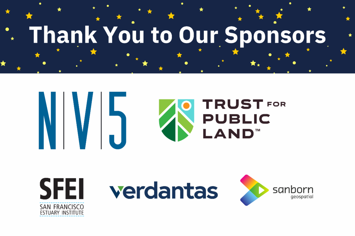
Vendors: NV5, Sanborn, Dewberry, Towill, Woolpert
Champions & Contributors: Loretta Moreno, Van Kane, Liz Van Wagtendonk, Bob McGaughey, Kass Green, Mark Tukman, Tim Bailey, Russ Faux, Carol Ostergren
Everyone mattered and made an impact. Any omissions are unintentional.
|