X  Youtube  Linkedin

NASA Harvest's Monthly News

How to Choose Between NASA Harvest Crop Yield Models

There is no single model that works across all crop yield estimation needs. NASA Harvest uses three crop yield models, each designed for different data conditions and use cases.


GEOCIF relies on long records of historical yield data. ARYA uses satellite observations to track how crops grow during the season. VeRCYe simulates crop growth directly, making it possible to estimate yields in regions where data are limited or conditions fall outside the historical record.


NASA Harvest has developed an explainer comparing the models, their strengths and limitations, and when to use each.

NASA Harvest Expands Private Sector Partnership to Advance Satellite Monitoring in Ukraine

Ukraine’s largest agroholding company, Kernel, is partnering with NASA Harvest to incorporate Ukrainian field data into satellite models. The data will be used to refine crop analysis and soil management systems, improving how satellite imagery and machine learning estimate yields and farming practices.

Regional Workshop Empowers Nine African Nations With AI-Driven Crop Yield Forecasting

In Nairobi, technical leads from nine African countries gathered for a University of Maryland-led workshop on crop yield forecasting. The training walked participants through generating forecasts months ahead of harvest and producing publication-ready bulletins in minutes rather than days.

NASA Agriculture Teams Engage Students at National 4-H Conference

NASA Harvest joined NASA Acres at the National 4-H Conference, where students explored how NASA satellite data supports agriculture and asked about career paths at the agency, including roles beyond science and engineering.

Upcoming Events

NASA Space to Soil Challenge:

Small Satellite Technologies for Agriculture and Forestry Innovation

Challenge Launch: Jan 30th, 2026

Submissions Due: May 4th, 2026

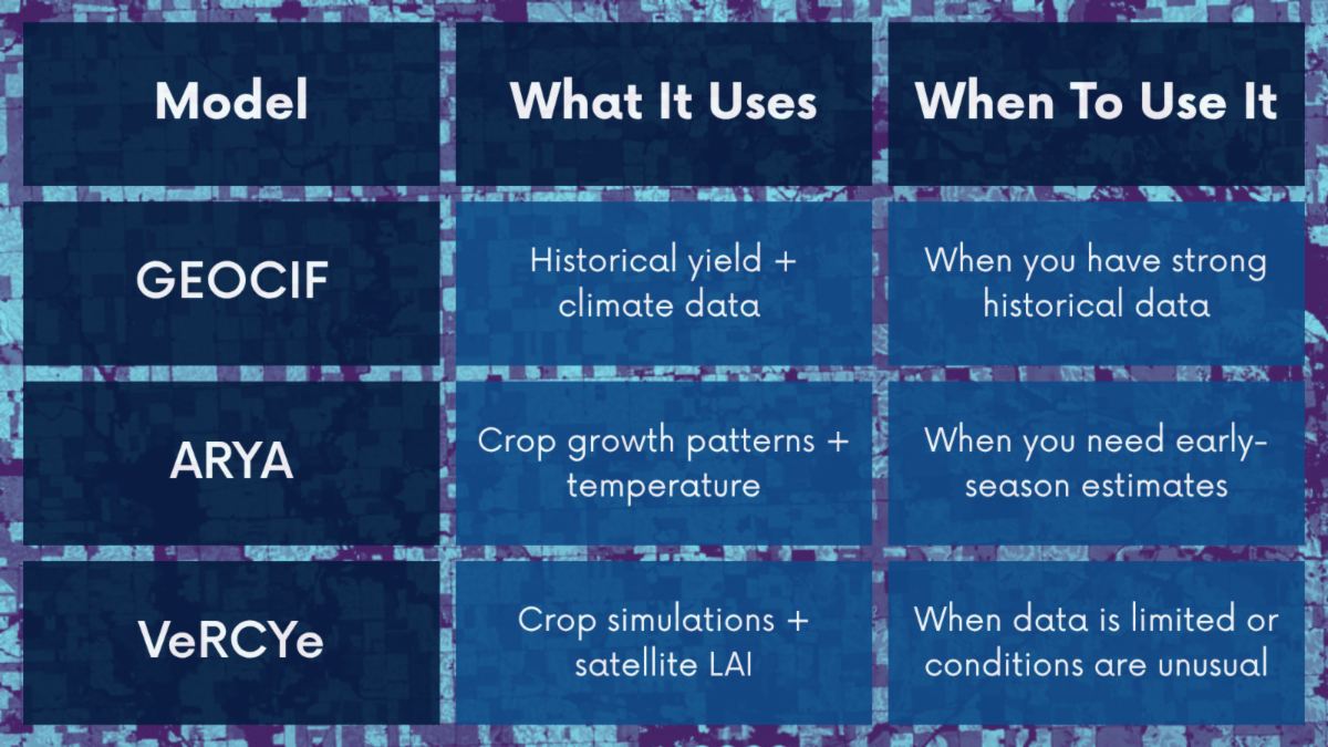
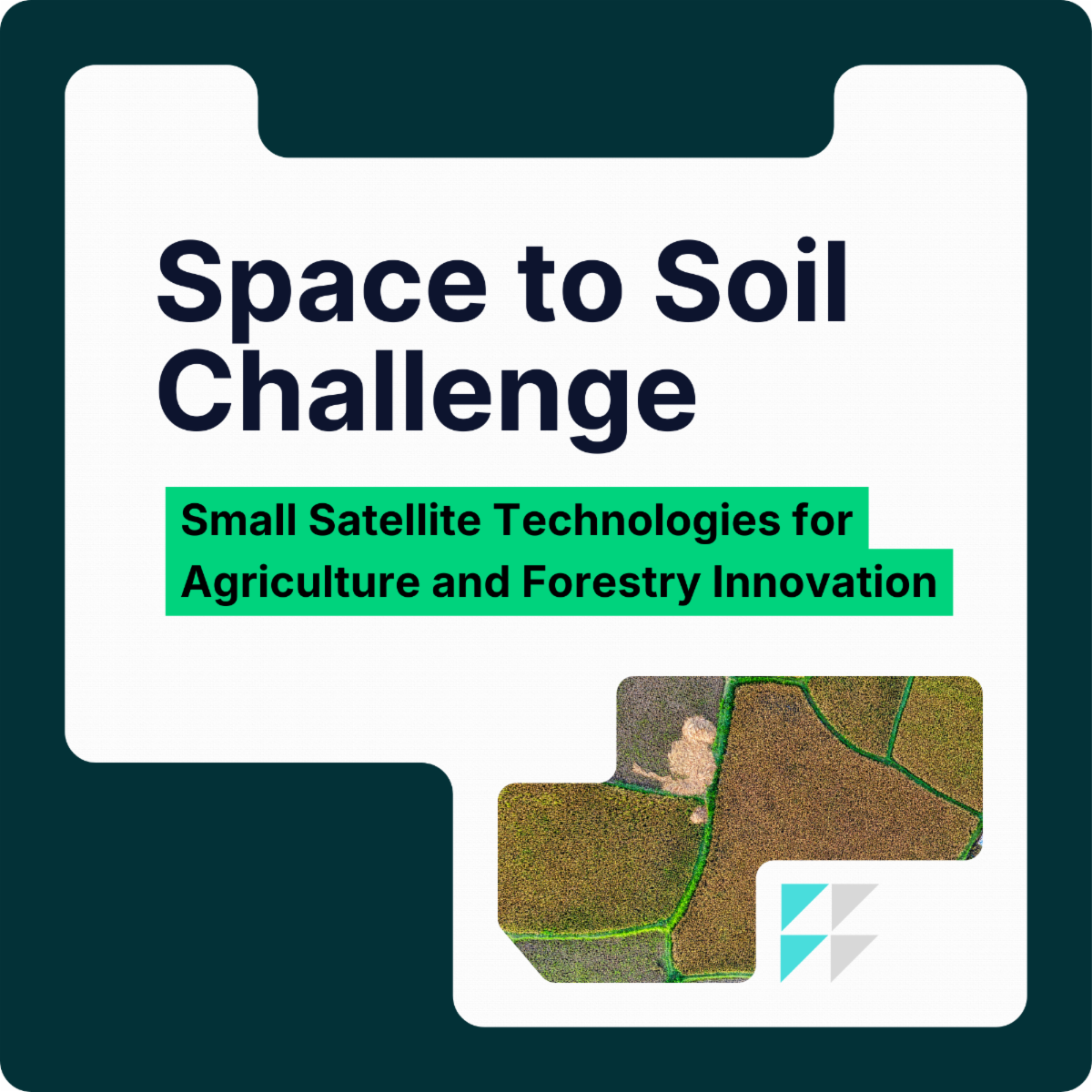
NASA is inviting students, researchers, and entrepreneurs to compete in the Space to Soil Challenge, a new competition focused on small satellite technologies for agriculture and forestry.


Teams will design mission concepts that use AI, edge computing, or adaptive sensing to improve Earth observation and support more resilient land management. Up to $400,000 in prizes are available.


Submissions are due May 4, 2026, and must include a five-page paper, a three-minute video, and technical materials such as code or schematics.


Learn more and register at nasa-space-to-soil.org

Harmonized Landsat Sentinel-2 Workshop

Virtually May 12-13, 2026

NASA is hosting a two-day virtual workshop on the Harmonized Landsat Sentinel-2 (HLS) dataset, led by its Satellite Needs Working Group Implementation Team. The sessions will walk through how HLS is structured, where it performs well in practice, and how users can access and apply it across platforms. The format leans practical, with time set aside to surface user challenges and gaps.


Register for the workshop here.

Learn more about HLS.