Logo.png

CIRCLING GITCHE GUMEE:

THREE WEEKS AROUND LAKE SUPERIOR


Day 12

Pukaskwa National Park, Pebble Beach

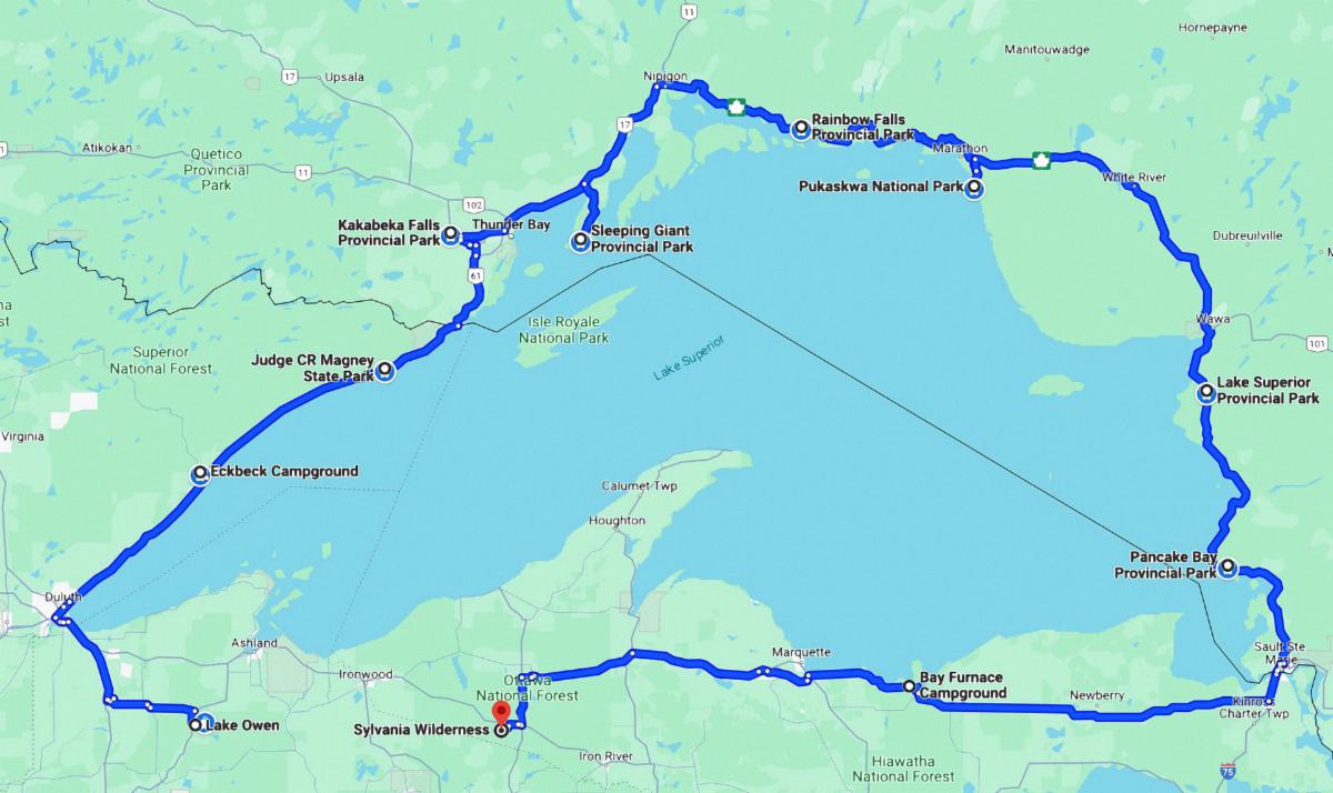
This is a map of our journey around Lake Superior with all of our campgrounds listed. (We are now at Pukaskwa National Park).

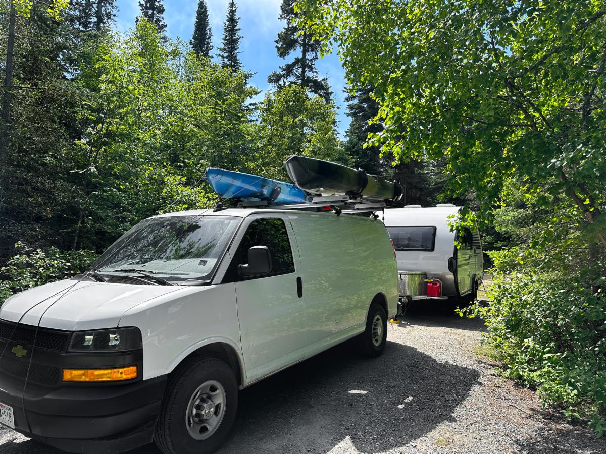
This is our new home for a couple of days. It is our first Canadian National Park. (The others were Ontario Provincial Parks.) Hattie Cove Campground is a lot like the Provincial Park campgrounds. It has a great comfort station with clean showers and lots of free hot water. The landscape is absolutely stunning.

Tuesday, June 25, 2024


PUKASKWA NATIONAL PARK - BOOZHOO (Welcome)


We continued eastward to Pukaskwa National Park (pronounced puck-a-saw), our second first-come-first-serve campground. I felt reasonably optimistic about getting a campsite. School is still in session, and Tuesday is far from the weekend. So far, we have only encountered one full park, and that was in Minnesota, although Sleeping Giant was 99% full.


On the drive, which continues to be spectacular, we noticed signs warning that there are long stretches of highway without gas stations as we go east. I had read about this and was prepared to top off the tank whenever possible. I wasn’t prepared for the dramatic price increase as the stations thinned out. Supply and demand, I guess. When we reached the town of Marathon, the price had jumped to $1.90 a liter. That’s European prices. Where are those Indian Reservations with the cheaper gas?


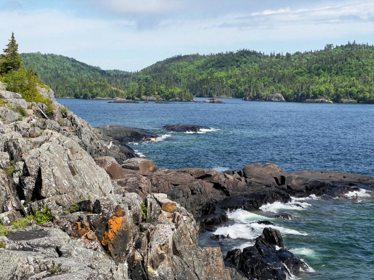
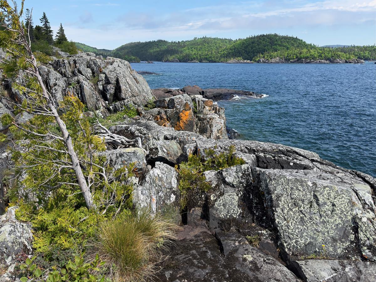
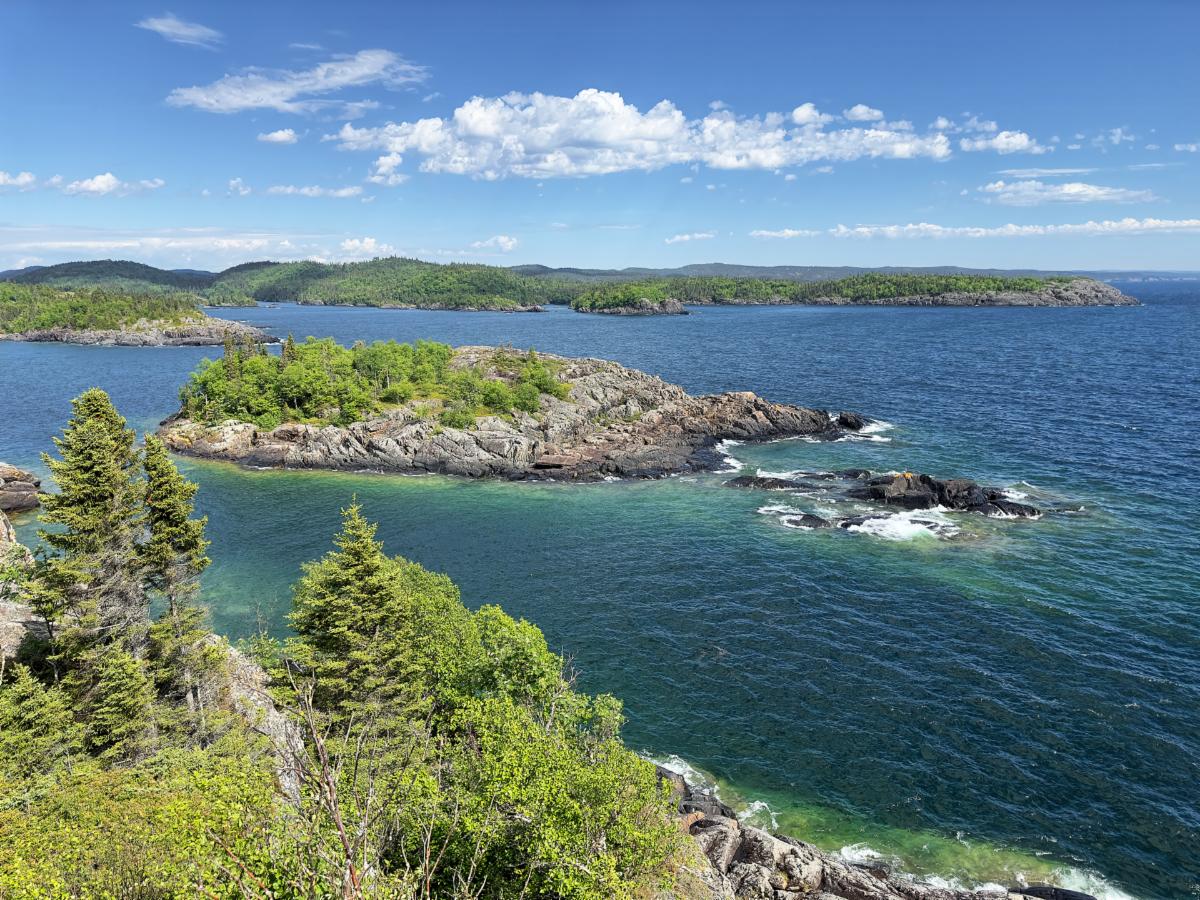
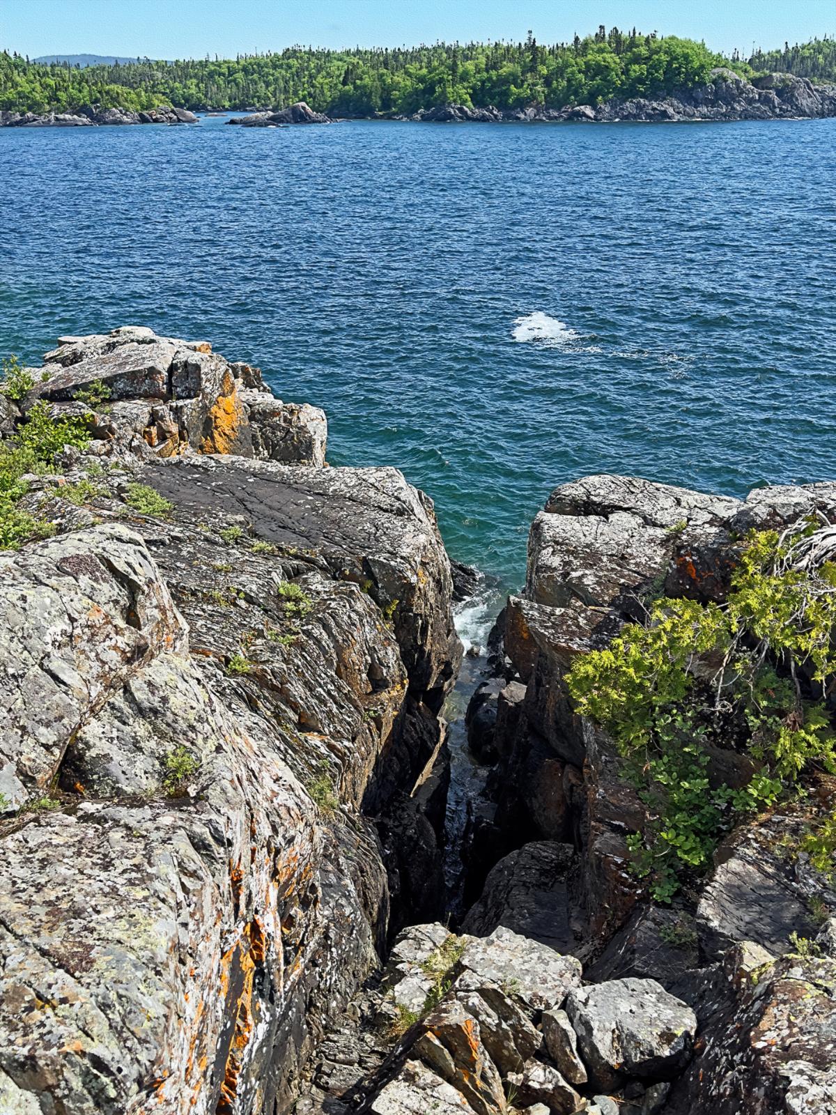
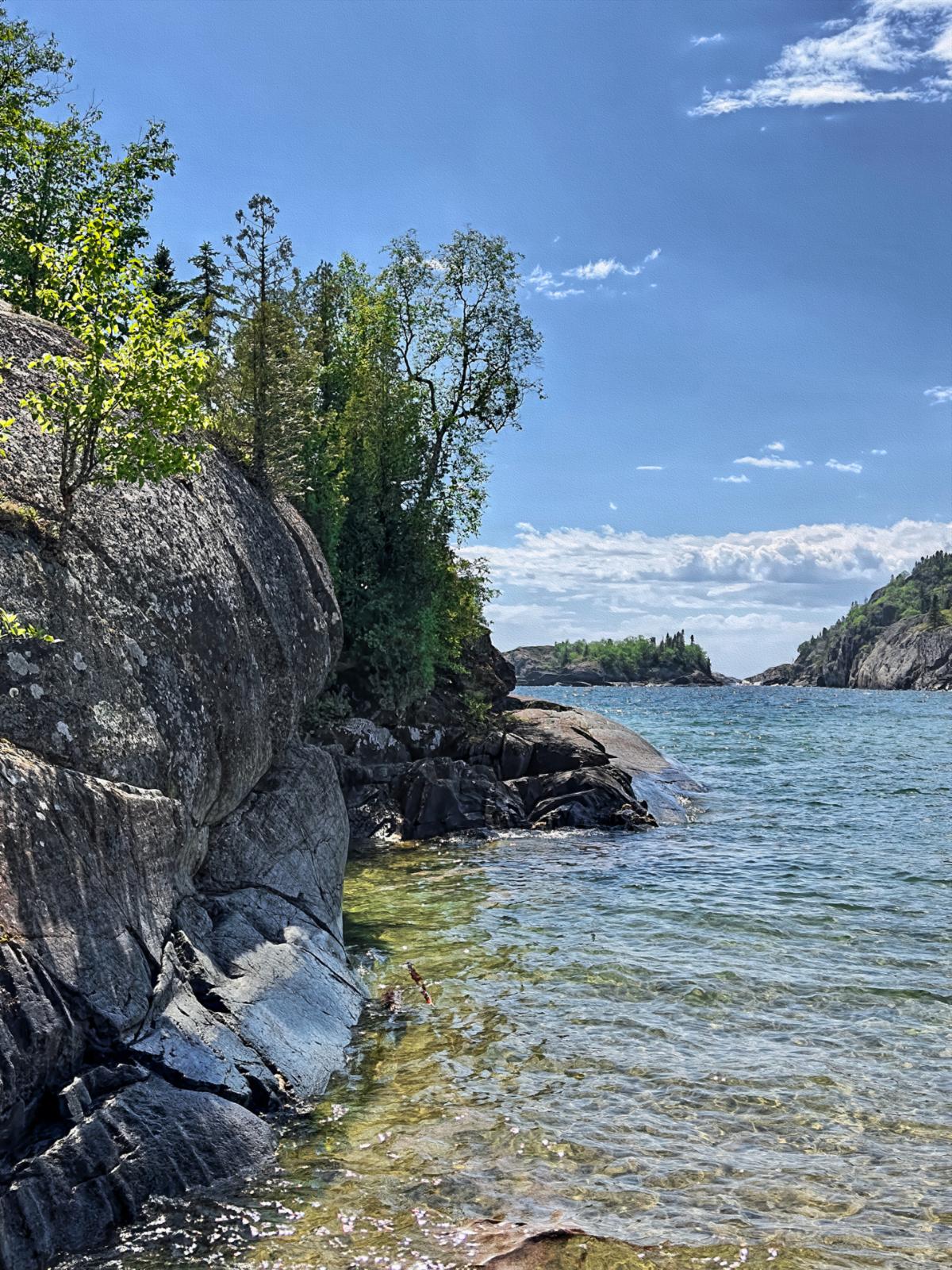
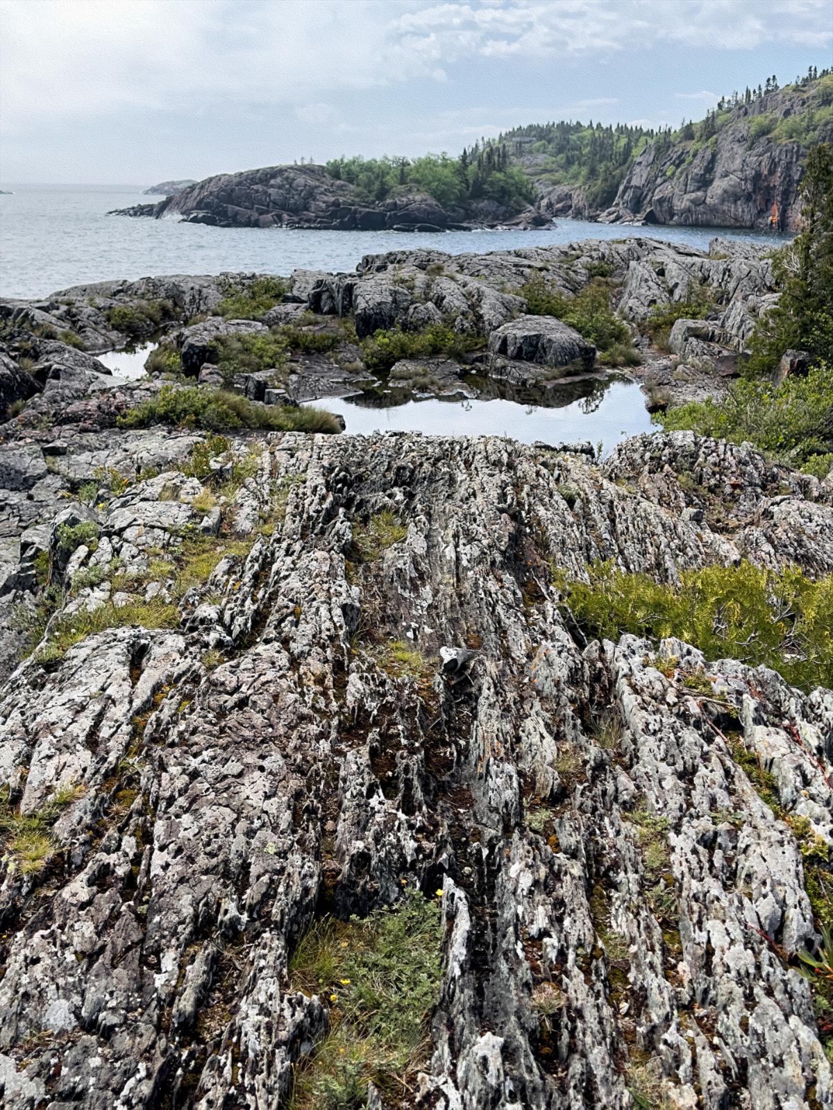
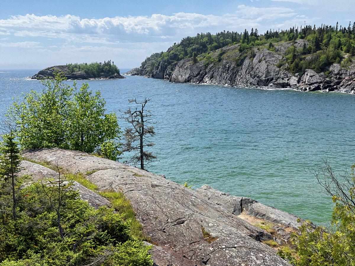
Pukaskwa National Park is a breathtaking piece of the Lake Superior shoreline, and the park is designed to take advantage of this. Both hiking and canoe trails follow the rugged black lava outcrops along the shore and the archipelago of black lava islets and islands that form an inside passageway down the coast. 


The main trail, the aptly named Coastal Trail, stretches for 18 km of extreme rugged trekking. Backcountry campsites are available along the way. It would be a backpacker’s heaven. You can access the same areas via canoe. The two showcases of the trail are a long suspension footbridge over the White River and the Chigamiwingum Falls. The bridge is 9 km down the trail, and the falls are further away. 


My goal is to hike all of the shorter loops in the park. There are 12 km of looping trails, and I hope to take in all the splendor Lake Superior offers a couple of kilometers at a time. I also hope to get the kayaks in the water. A gorgeous-looking bay, Hattie Cove, is begging to be kayaked.


We arrived at Hattie Cove Campground at 11:30 a.m., the perfect time for a first-come-first-serve campground. We had two campers behind us who were also hunting for a site. The pressure was on. The lady ranger at the entrance hut assured me there were openings and about half had electricity. We decided to splurge the extra $3 for an electric site. There are two loops, and we pulled into the first one. The sites varied dramatically from dinky and uneven to roomy and level. With the competition behind us, we grabbed the first decent-looking electrical site.


After setting up, I plugged into the electrical service. The 30 amp plug was dead and practically dangling. I have a surge protector that also diagnoses electrical issues. I plugged the surge protector into the 15 amp plug and got a ground fault error. That’s not good. I tried the other 15 amp plug, and it came up clean. However, the big heavy surge protector kept falling out of the socket. I had to figure out how to tie it up to keep it plugged in. 


Once settled in, we went for a walk around our loop. We found the most perfect pull-through site, just two sites down, and it was still open. Drat, if only the competition hadn’t been pressuring us. Yes, we could have moved, but our site was quite good, and we were antsy to explore.


There isn’t any cell service in the park. However, there is a beautiful visitor’s center on the banks of Hattie Cove, and it has free WiFi. We had to check it out. Seeing the cove made me want to kayak even more. Not today, however. The fog was still thick, and the wind was biting cold. Tomorrow’s forecast looks promising. The WiFi was fast, and we quickly caught up on the essential news and messages from home.

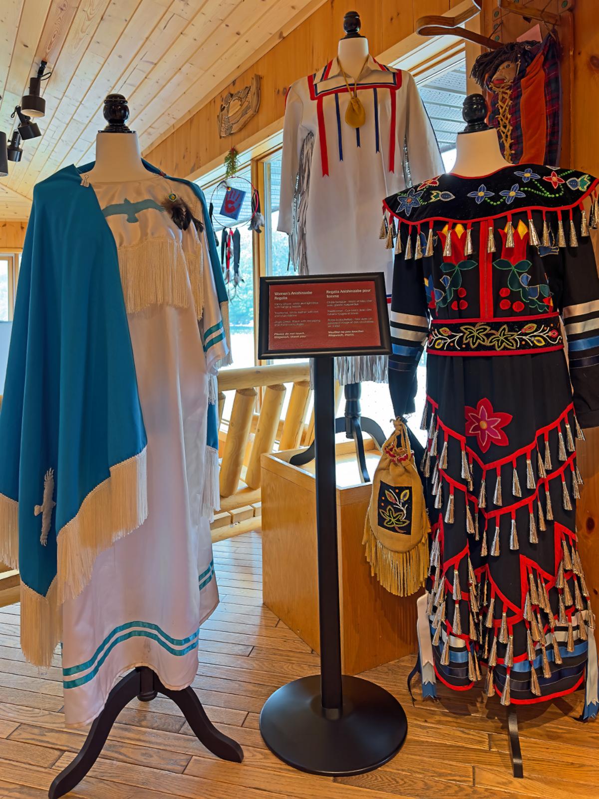
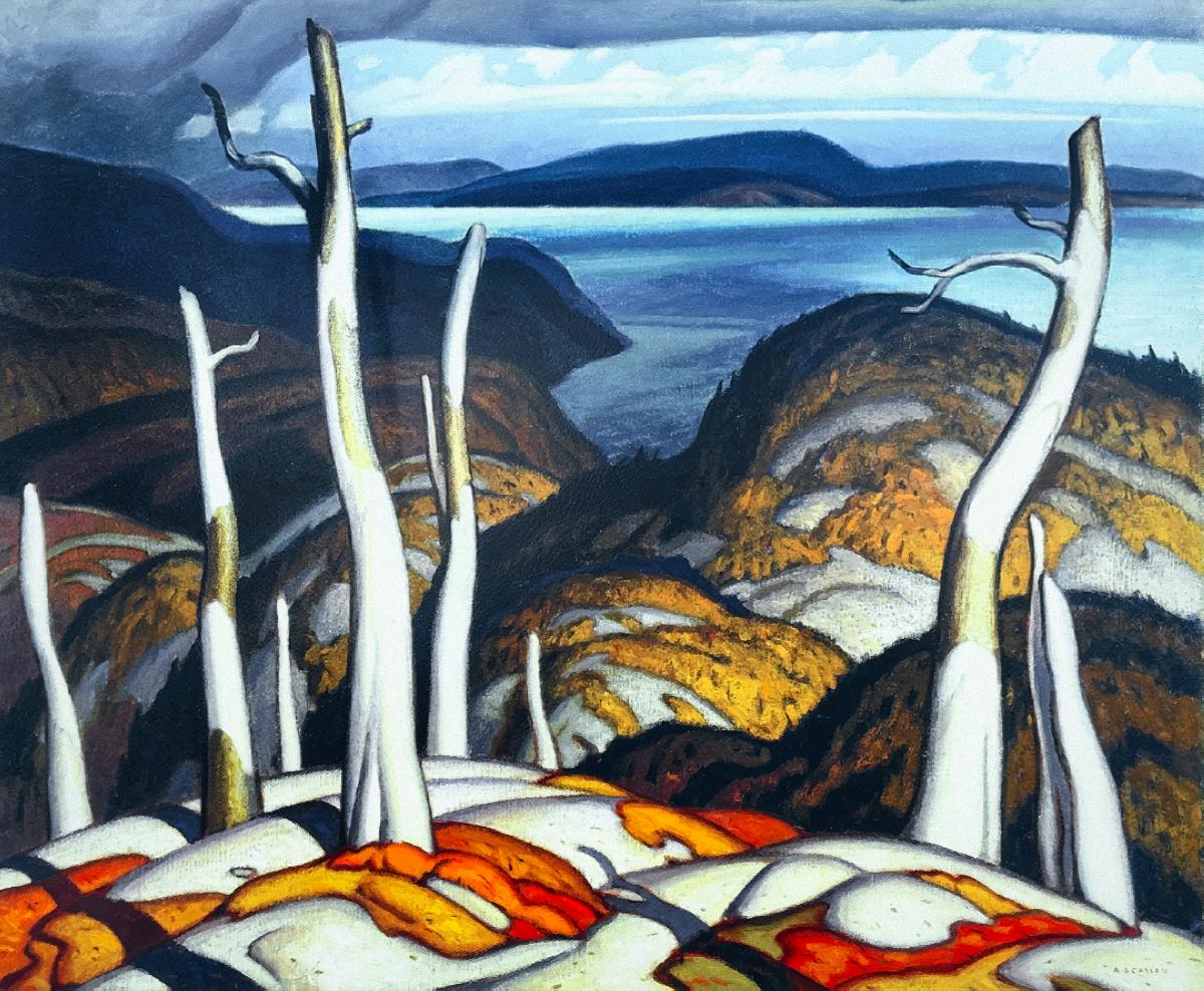
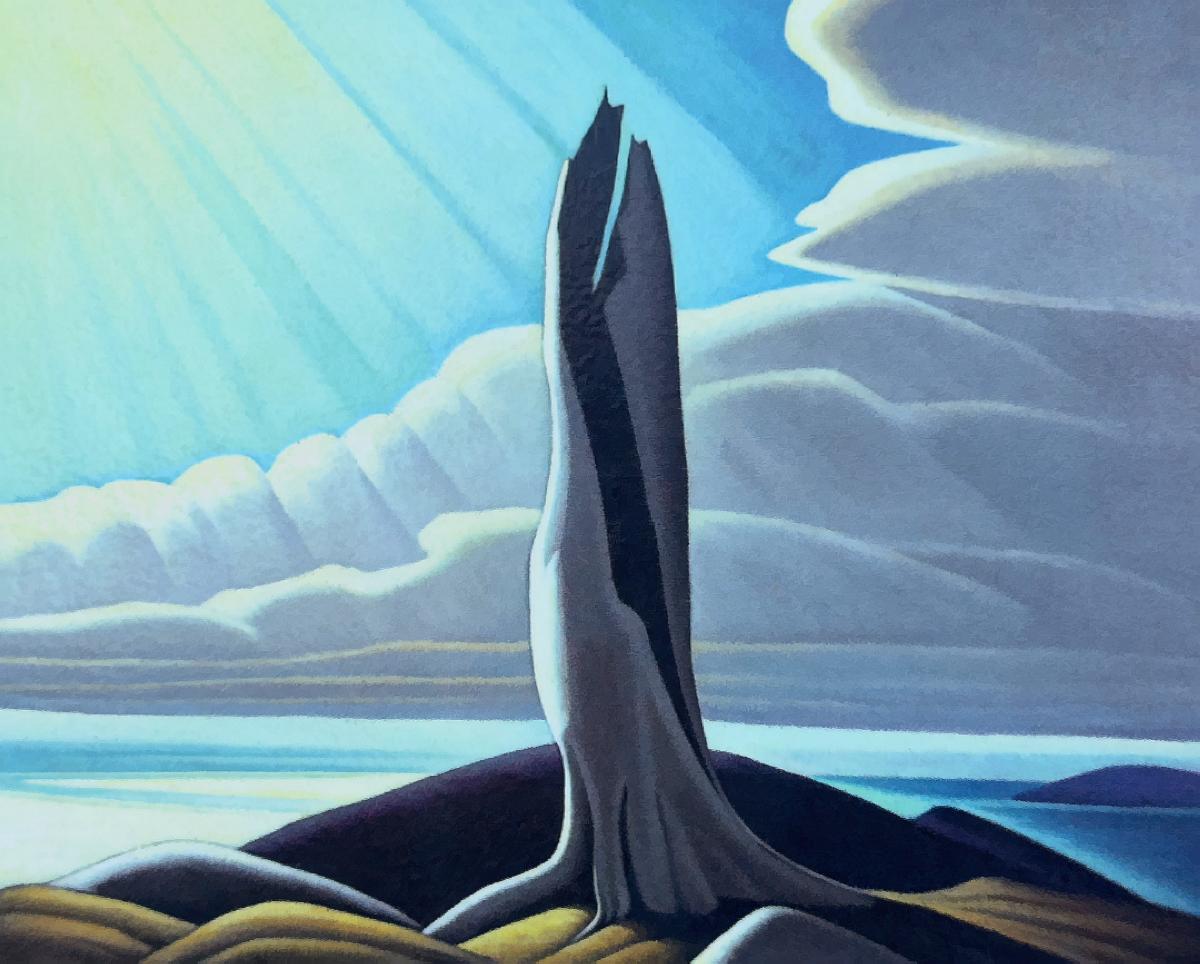
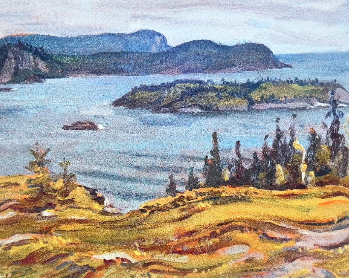
The visitor's center celebrated the local Indigenous People.

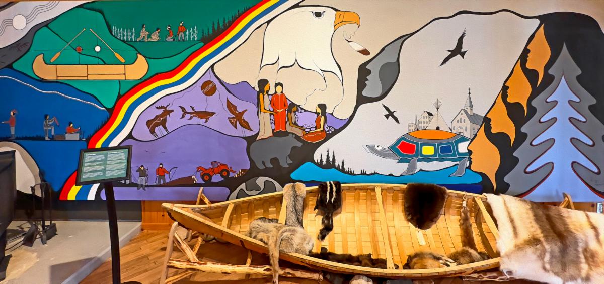
There were some more examples of the Indigenous Group of Seven Artists at the Visitor's Center.

Since it was foggy, we first drove into Marathon, another of these unpretentious north shore communities. There are two small indoor malls in town, and we checked one out. Except for Terrace Bay, all of these towns are not geared towards tourism. They are low-key working-class towns. The mall had a grocery store, a vaping store, a dollar store, a bank, etc.


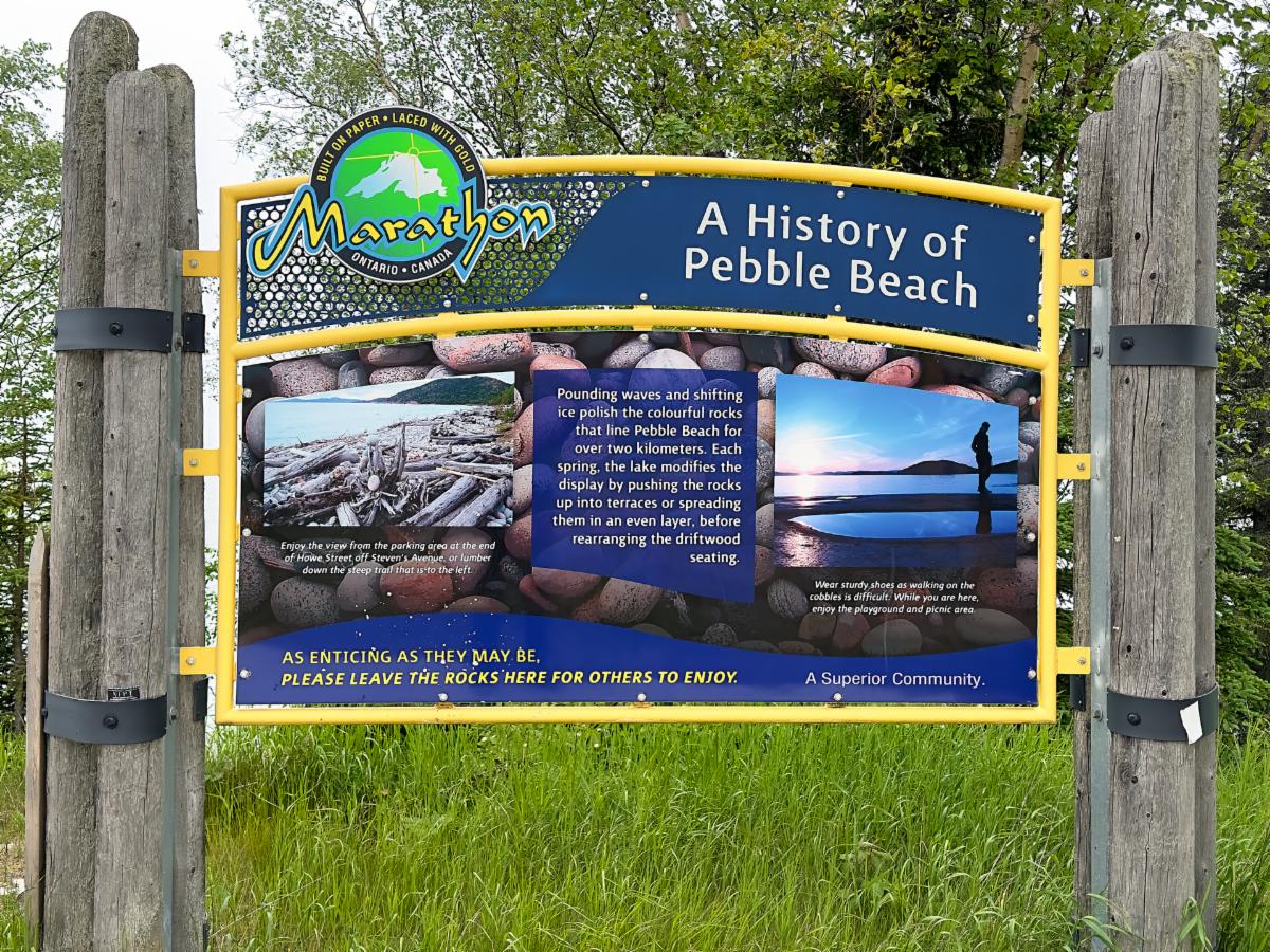
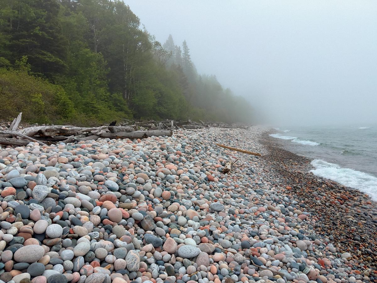
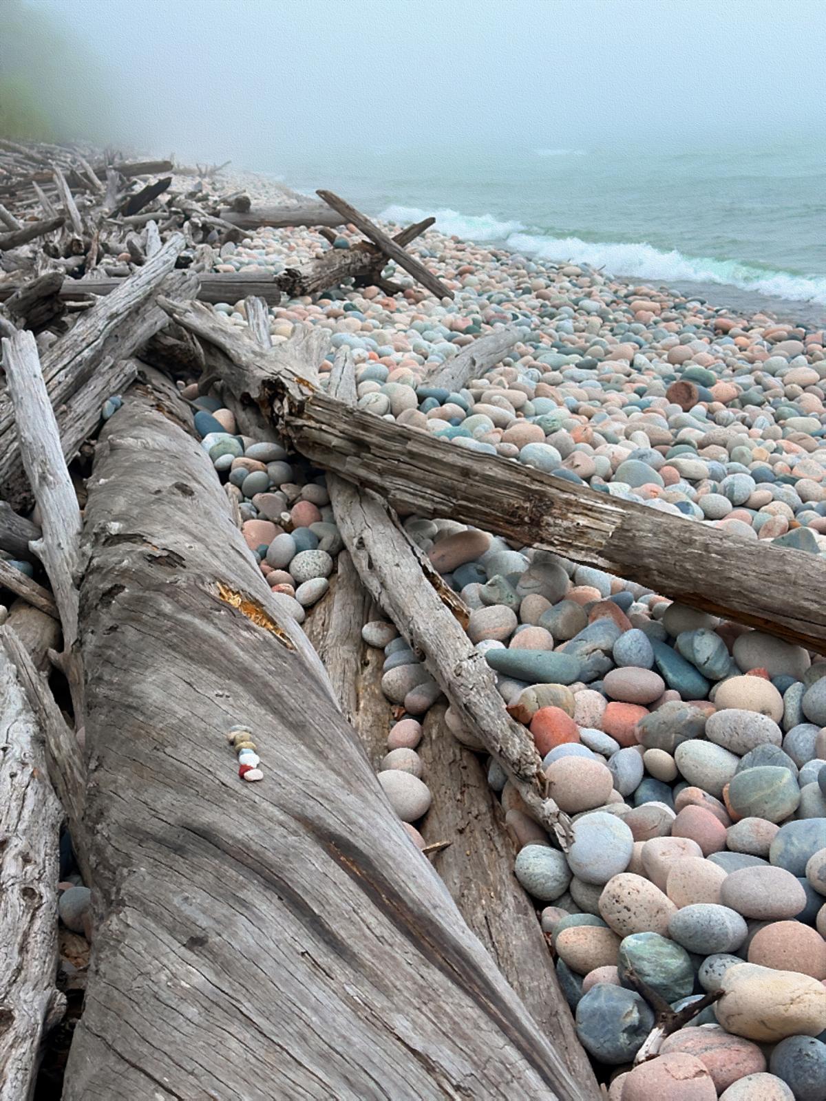
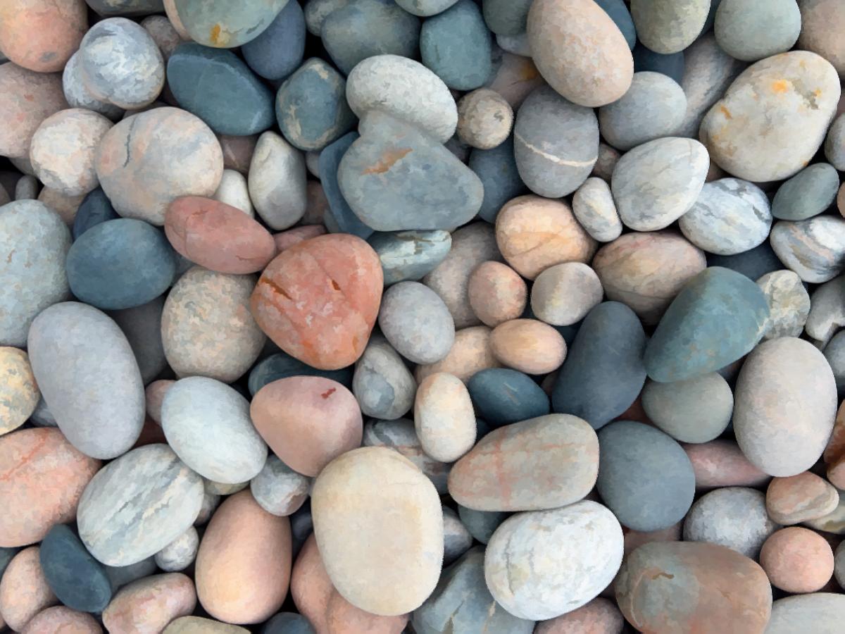
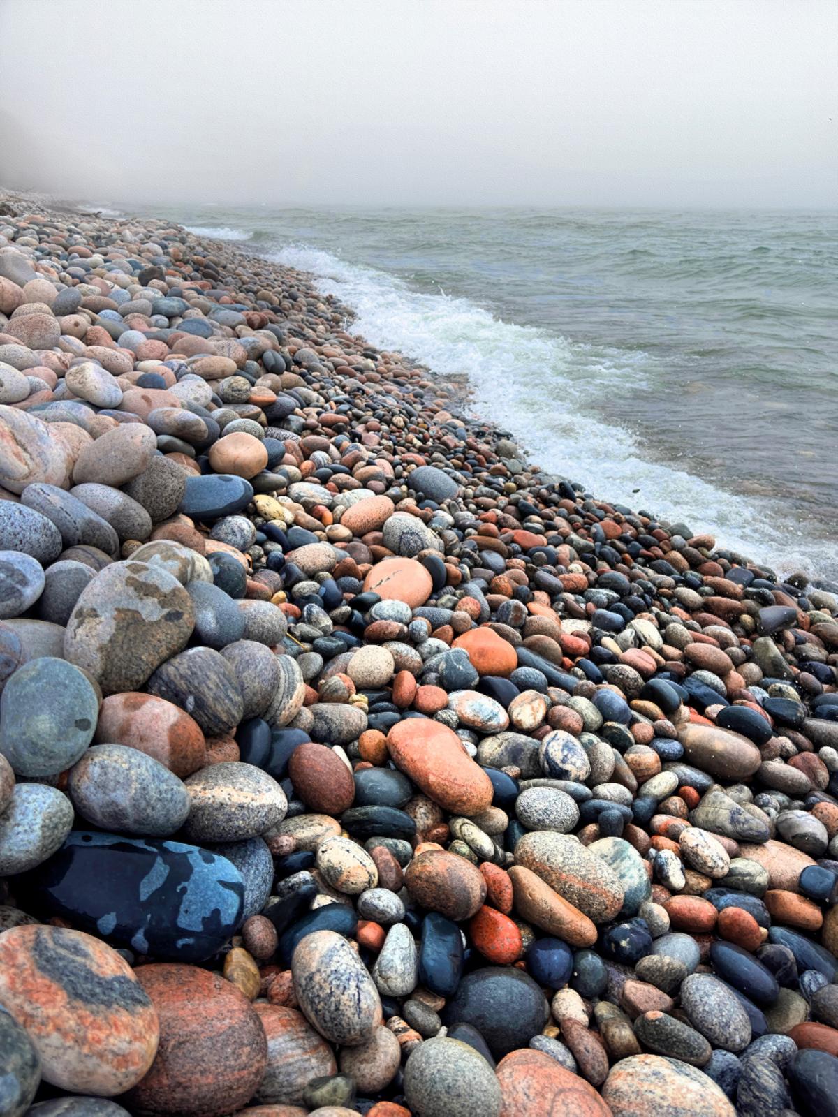
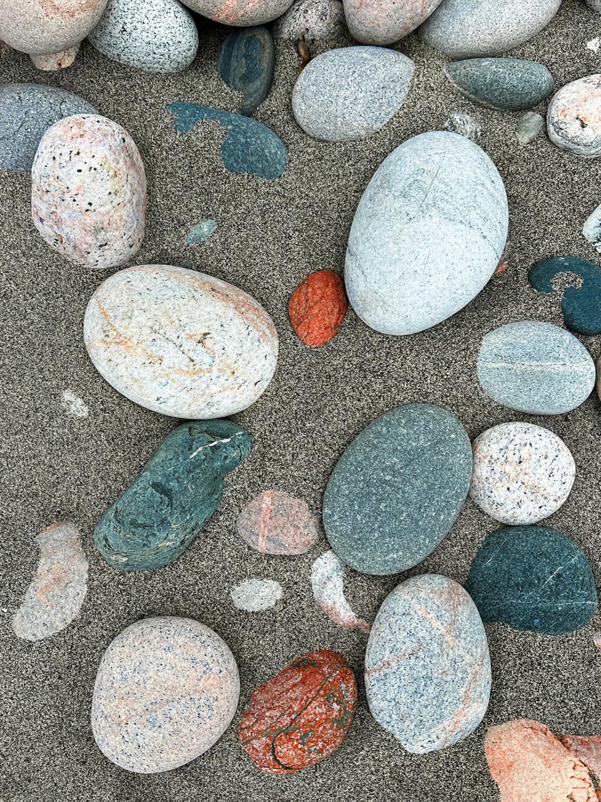
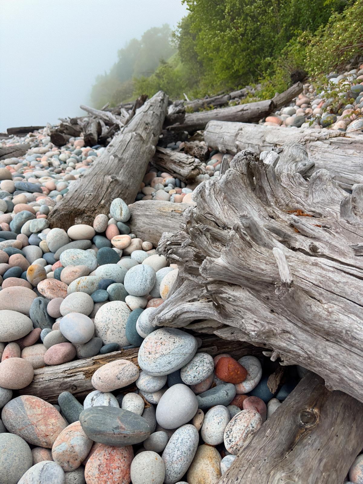
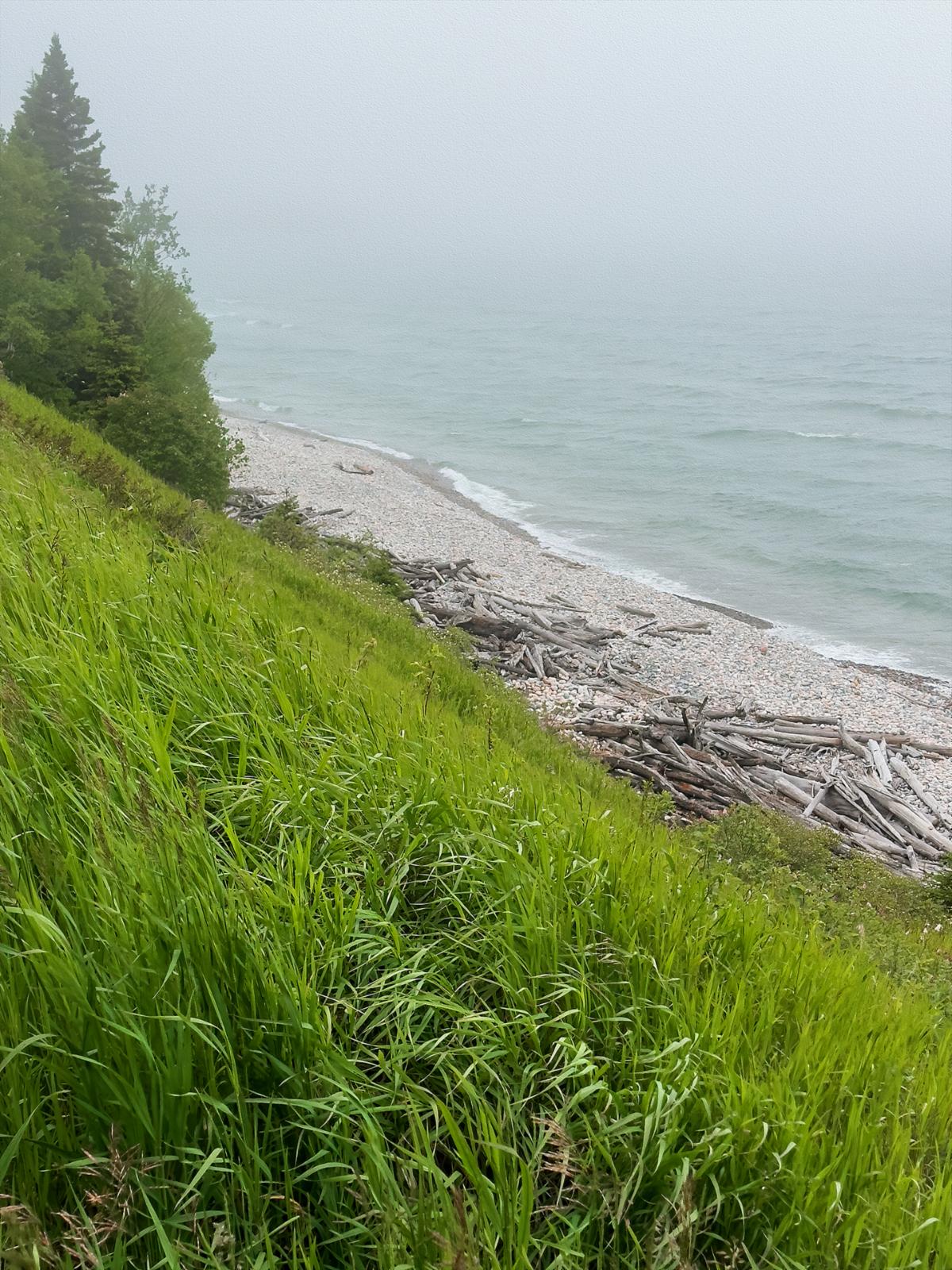
The best part of Marathon is Pebble Beach. As the name implies, it isn’t a sandy beach. The round, colorful, egg-shaped rocks looked like Easter eggs. It should have been called Easter Egg Beach. Wedged in the egg-like rocks were giant sun-bleached logs of driftwood. It made for a beautiful scene. If only the fog would lift.

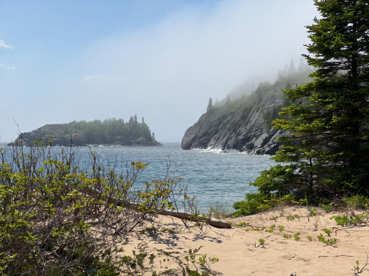
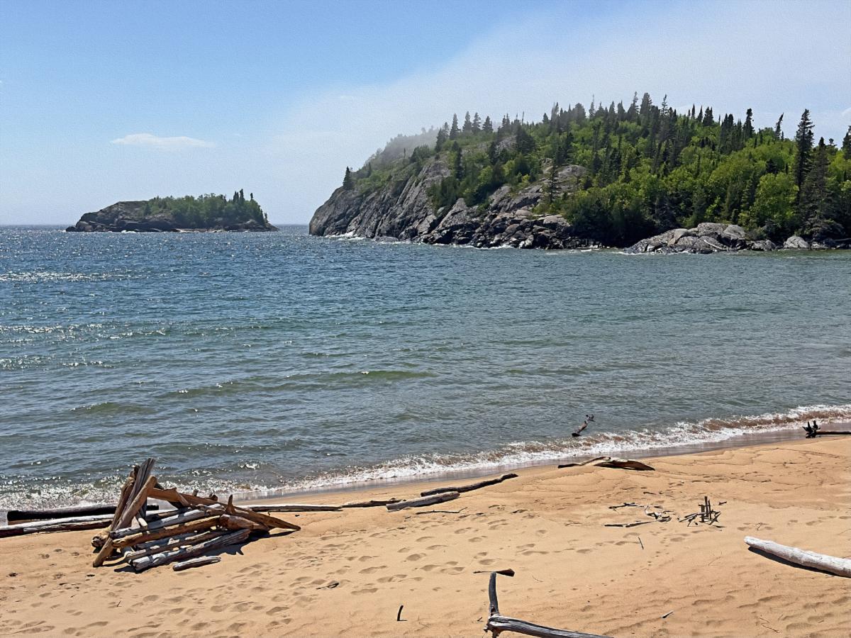
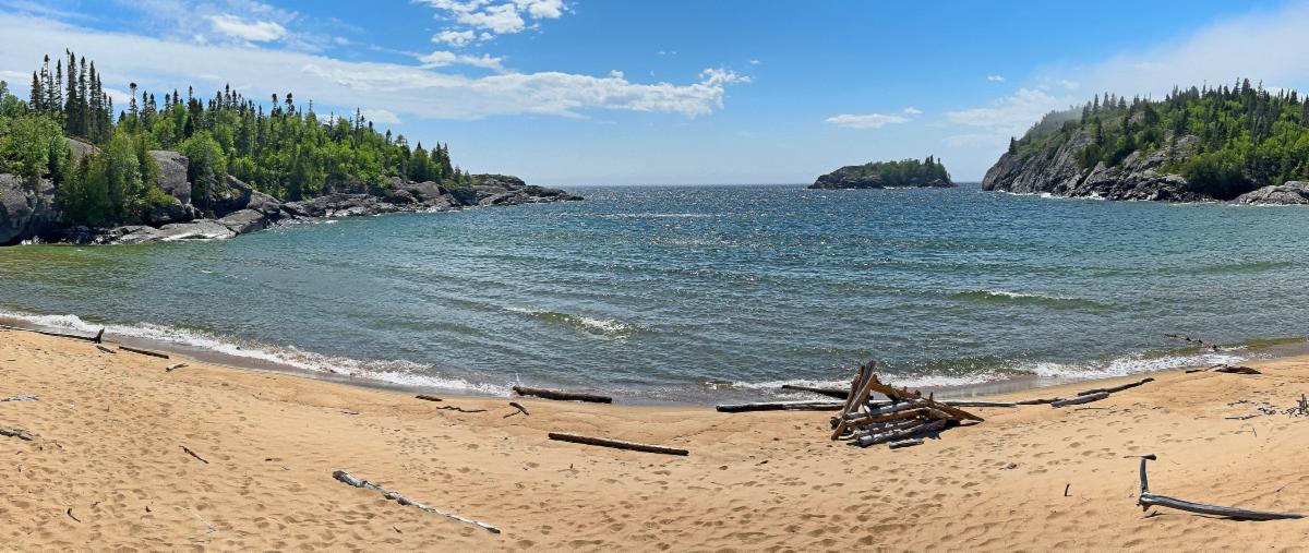
Pebble Beach, even in the fog, offered many interesting views.

In the rare sandy spots, the sand looked like salt and pepper.

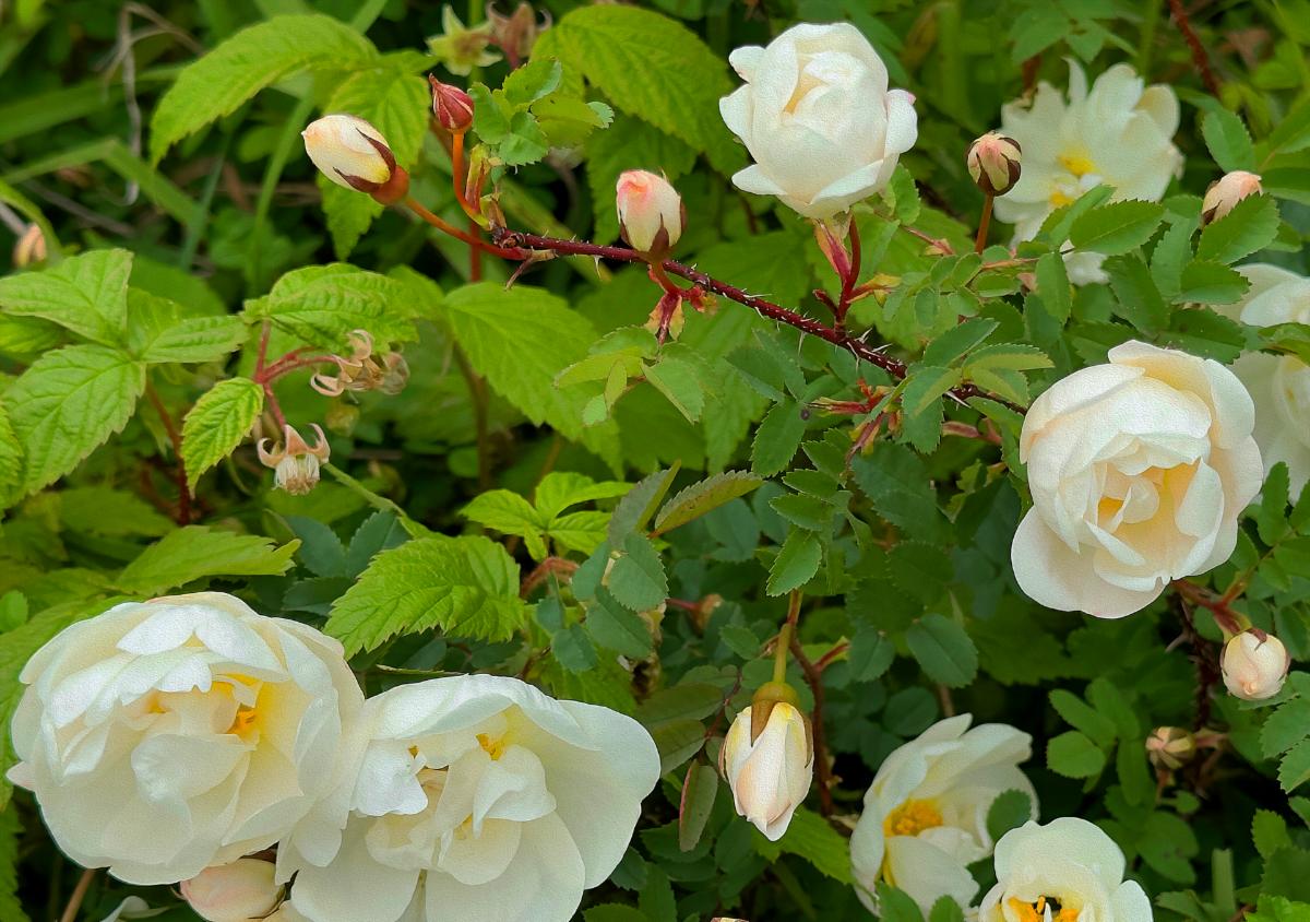
On top the hill overlooking the beach was filled with wildflowers. These white roses caught my fancy.

After topping off the tank with the $1.90 a liter gas, it was time for hiking, fog or not. We returned to camp to tackle those 12 km of looping trails.


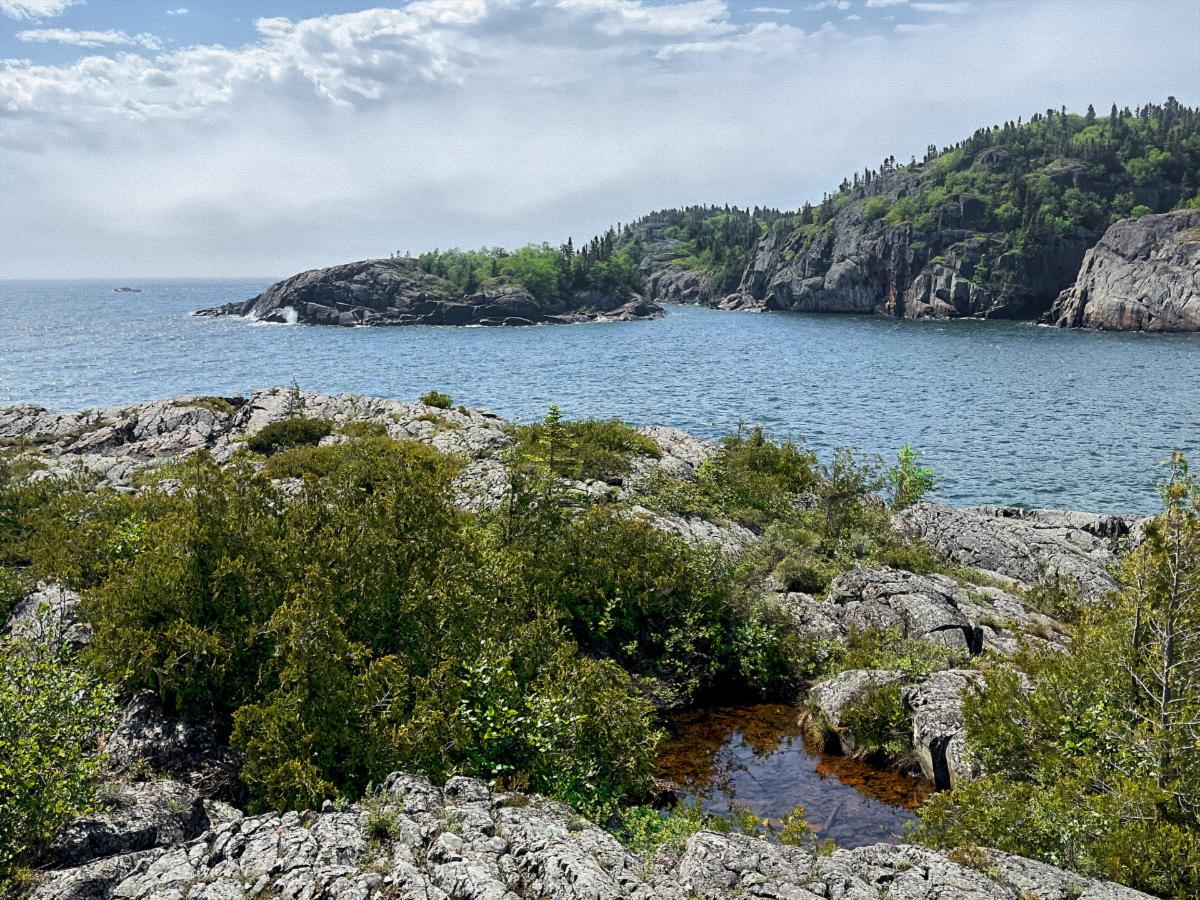
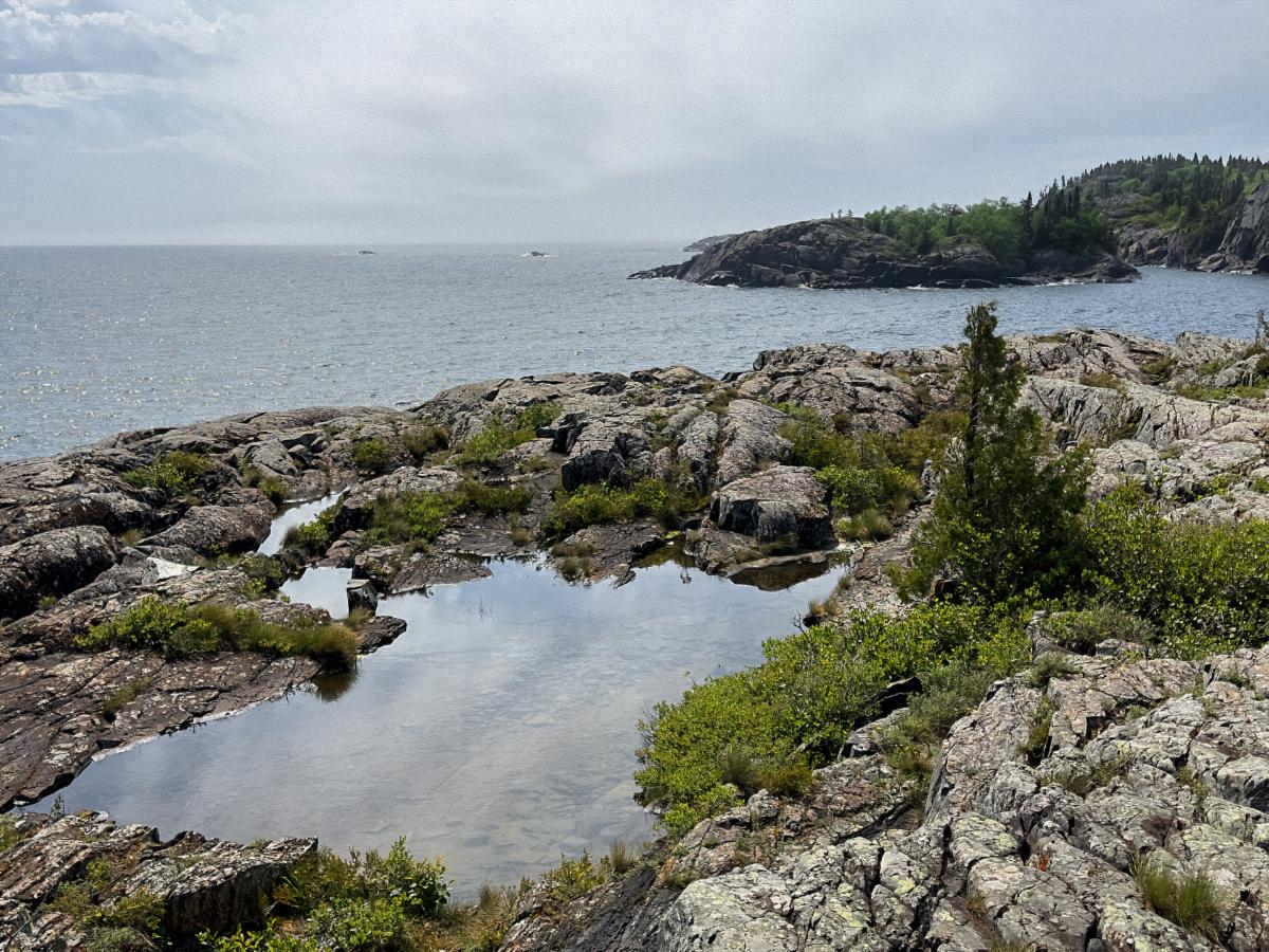
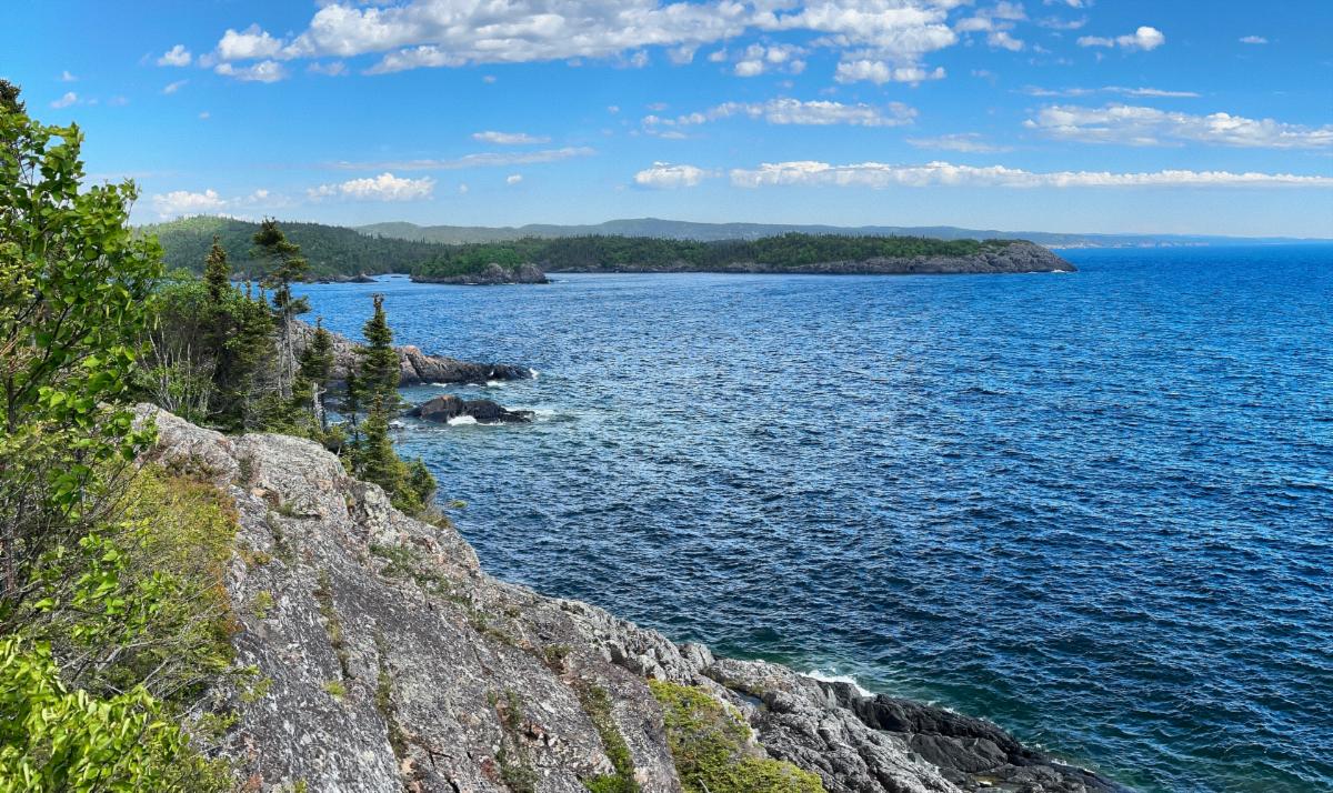
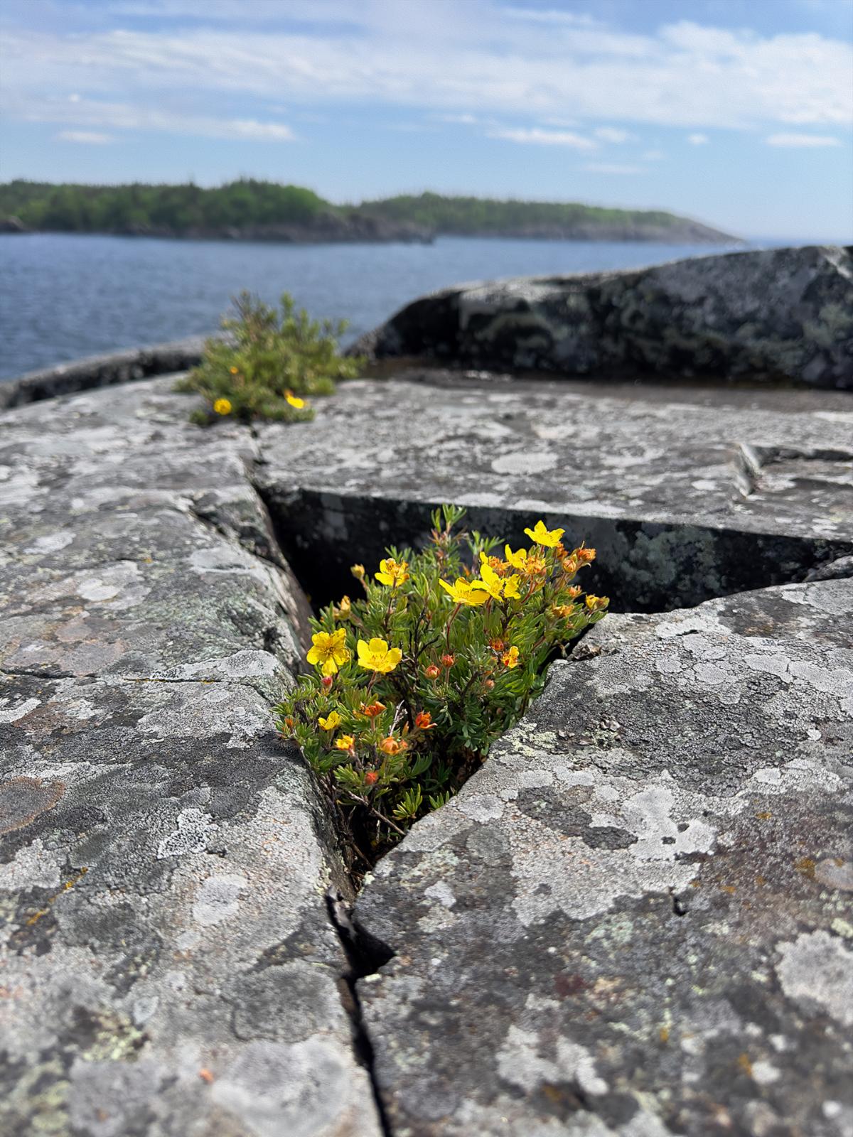
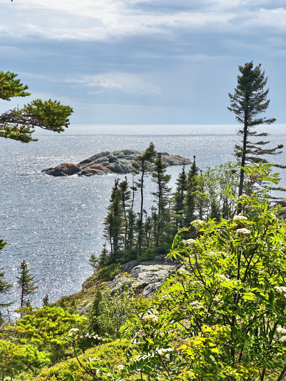
The fog started to magically thin as we began our first trail loop. When we climbed up our first outcrop overlooking the Lake, it vanished, leaving us with incredible vistas. This area could easily compete in a 'most beautiful coastline' contest. 


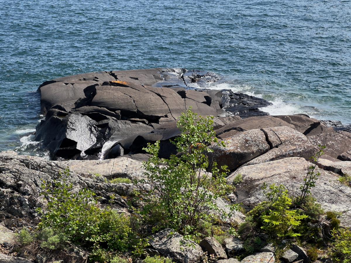
A billion or so years ago, Ontario was a massive shield volcano. Unlike the mountain-building variety, shield volcanoes are runnier and flow and flow and flow for hundreds of miles, depositing layers of basalt. These black outcrops are left over from that period. We found one pitch-black chunk flowing into the lake that looked like it had been deposited just yesterday. 


We noticed a black weather cell pushing toward us when we reached the furthest point on the Manito Miikana Trail Loop. It was time to hustle. It was only 2 km back to camp, but Manito Miikana was extremely rugged and hilly. We reached V-Jer just as the first drops fell. And that was it. A couple of drops, and it quit.

The fog began lifting as soon as we reached the beach.

This black chunk of volcanic rock looks like it just cooled yesterday.

The coastline was stunning.

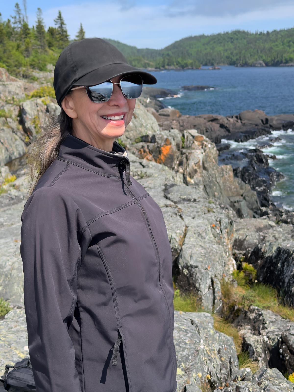
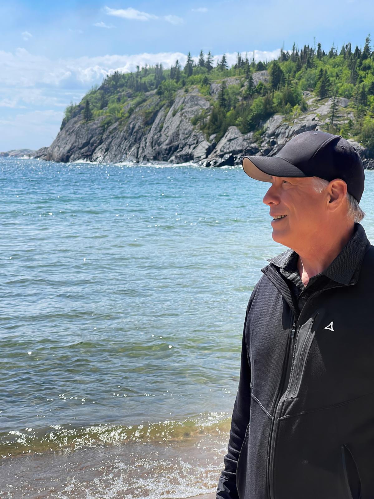
Places like these always put a smile on our faces. It is why we travel so much.

When we reached the part of a trail loop that was the furthest away from camp, we saw a weather cell creeping up on us.

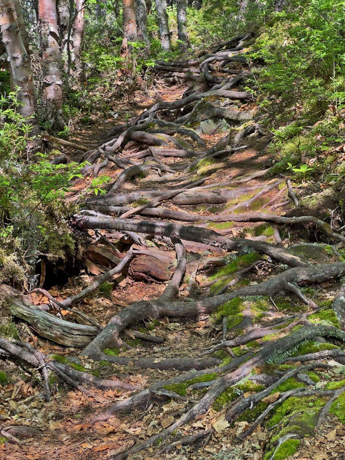
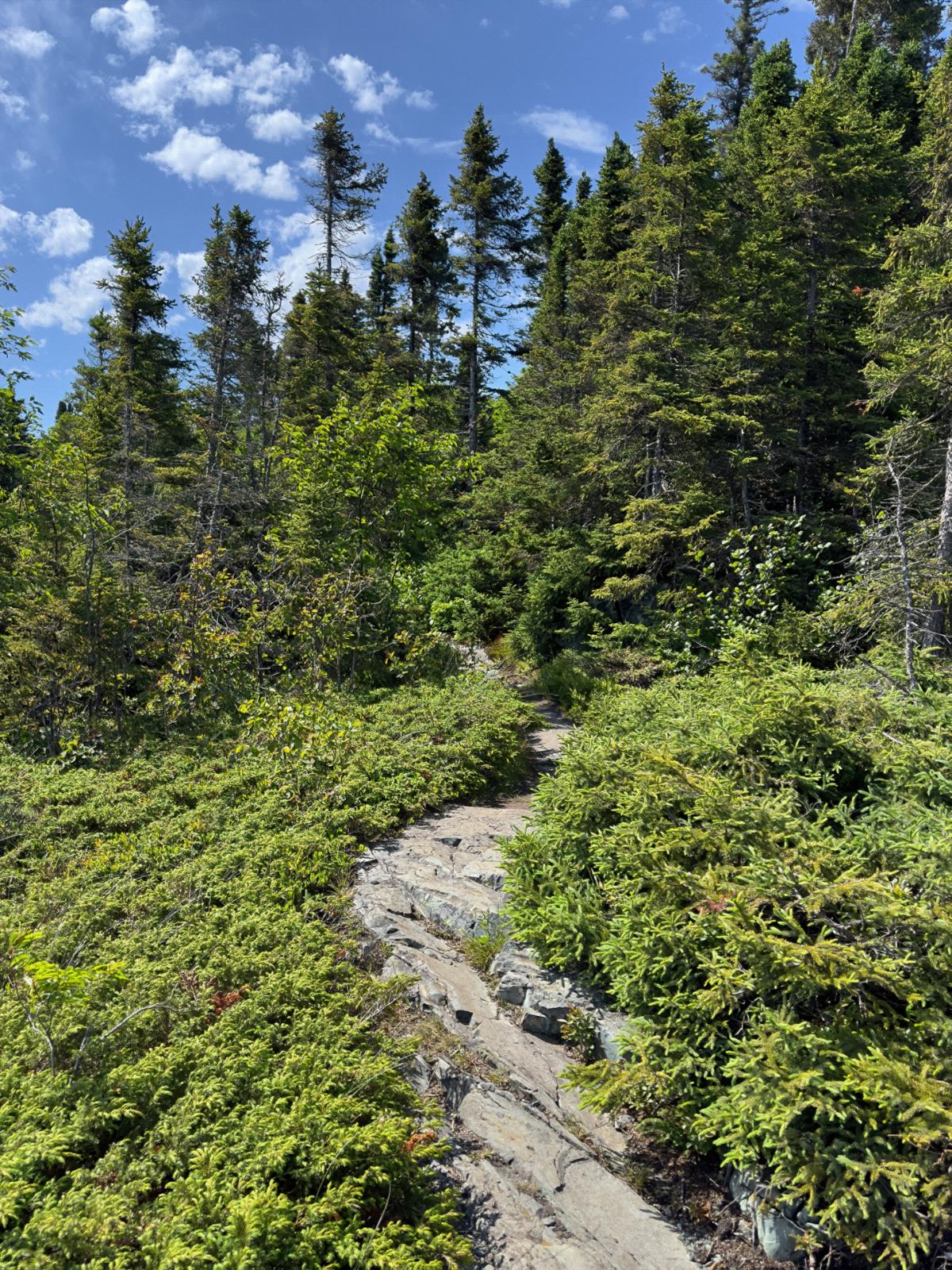
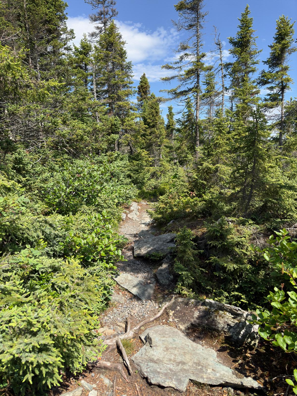
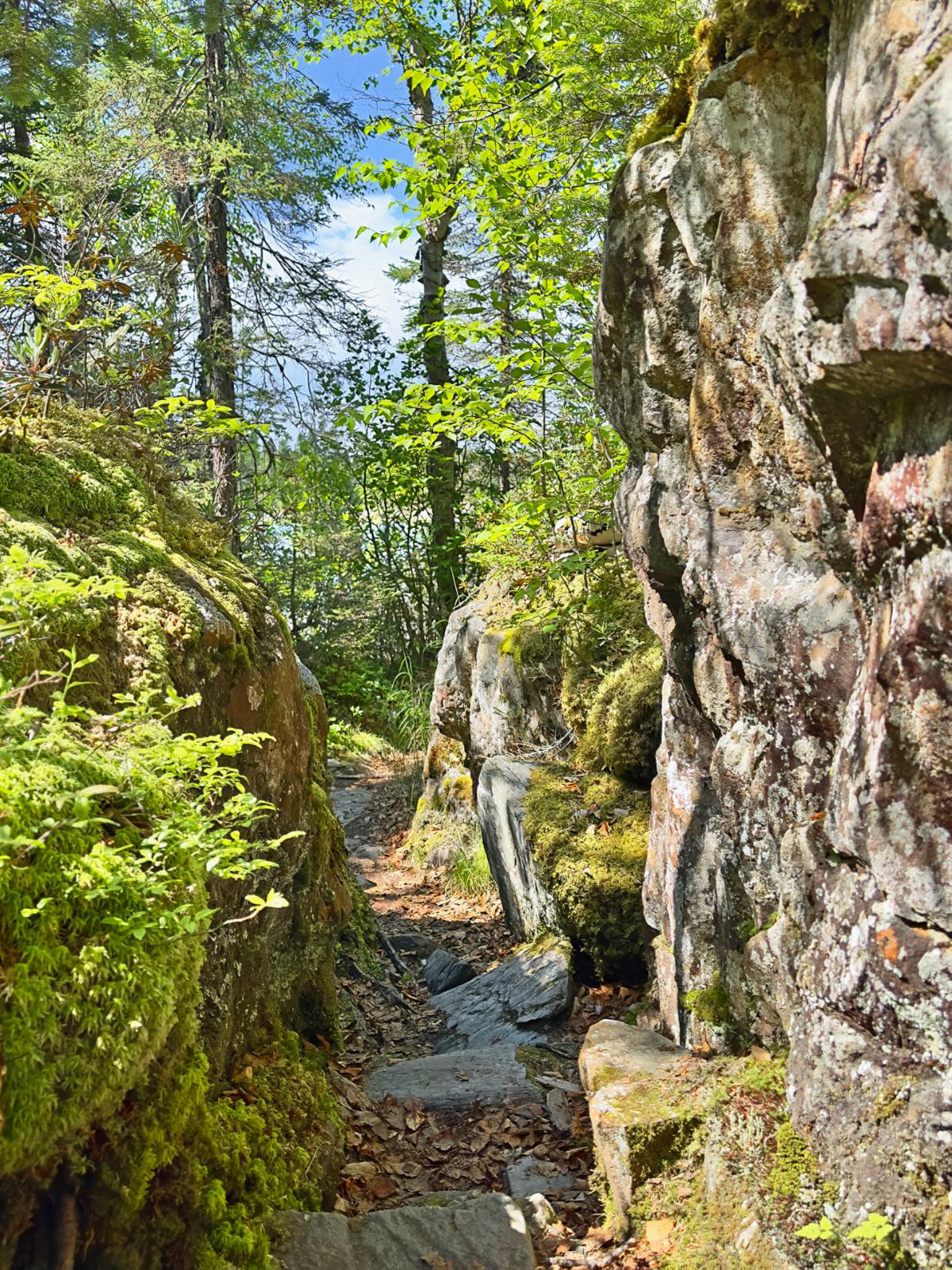
The trail back to camp was rugged, to say the least.

Oh well, rain or not, it was time for my Slate Island Red craft beer and my modified potato salad. Yummy!


Later, I looked over the Park’s brochure. It contained a lot of Native history - not all was rosy. Like in America, Canada did not treat the native people honorably. Although the early French trappers assimilated better than the British, Canada repeated the same land grab that America did. Some of that is inevitable when two completely different and incompatible cultures and technologies come together. But, assimilation could have been possible. For instance, if the Cherokee in the US had been allowed to stay in the East and not be forcibly removed, they most certainly would have provided a successful model of integration.


A lot, however, was pure racism - plain and simple. The boarding school scandals alone were just one of many terrible abuses. Anyway, in the spirit of reconciliation, the brochure suggests that the term ‘Indigenous Peoples’ is the most respectful way to refer to the original inhabitants of Canada. The term became official in 2015. In America, we have adopted the term ‘Native Americans.’ I wonder what the Natives think of these terms?

Welcome to All Over The Map Travel Ventures!


Join us as we share our personal travel stories, inspiring you to relax and plan your own adventures. Our blog, a labor of love, helps us keep our memories fresh and connect with fellow travel enthusiasts.


Enjoy exploring our journeys, and if you know someone who might like our travel content, please share our site with them.


Stay up-to-date with our latest destinations by joining our free mailing list. You can also reply to this email to chat with us directly. We’re here to help you plan your next trip, share travel tips, or say hello.


Until next time, safe travels, and have fun!

-- David and Wanda Zuege


Message us: 715-252-6664 | 715-252-3326
Email: alloverthemaptravelventures@gmail.com


North America . Europe . Mexico . Asia . Travel Resources . RV Product Reviews

Join Our Email List