Logo.png

CIRCLING GITCHE GUMEE:

THREE WEEKS AROUND LAKE SUPERIOR


Day 8

Sleeping Giant

Today, we moved deeper into Ontario. Sleeping Giant Provincial Park is a large, beautiful piece of wilderness.

Friday, Summer Solstice, 2024


SLEEPING GIANT


We reached the longest day of the year. It is all downhill from here. This part of Ontario is in the Eastern time zone. That puts us an hour ahead of Wisconsin time, giving us a double dose of daylight savings time. It doesn’t get dark up here until well past 10 p.m. I have always liked daylight savings time, and getting a double dose is twice as nice.


We had yet another awesome, bug-free night's sleep. Our bug gun quickly removes any stray mosquito that dares to sneak in V-Jer. Hunting just before bedtime is fast and satisfying as I pick ‘em off right out of the air. 


Today, we transferred our traveling show to Sleeping Giant Provincial Park. It was a short 100 km (65 miles) shot from Kakabeka Falls. Sleeping Giant is named after the peninsula's shape, as seen from Thunder Bay. Sure enough, from Thunder Bay’s waterfront, the peninsula across the bay looks like an old giant lying down for a snooze. 


The park is huge, 32 km long and 20 km wide. It is wild with a thick forest cover. Only one paved road bisects the park from north to south. Some gravel roads radiate out, but 90% of the park access is by foot. Long, rugged trails circle and loop through the wilderness. The main feature is the climb up the sleeping giant’s head. That is a 22 km round trip hike. The view is supposed to be spectacular. Due to the bugs, we are going to skip that trek. Instead, we will tackle the myriad of shorter nature trails.


The interior of Sleeping Giant is peppered with lakes of all sizes. The main campground is on the largest lake, Marie Louise Lake. A 12 km gravel road, the Marie Louise Drive, circles the lake. As soon as we set up camp, we drove the road. We came across a strange set of signs at the entrance. The first pointed out that the road is one-way only. In other words, if you take the road, you can’t come back this way. OK, I already knew this. It is listed on the map as a one-way road. The confusing part was another sign that stated in big, bold letters, “NO EXIT.” What does that mean? If you drive up the road and it comes to an end, you can’t drive back because you’d be driving the wrong way on a one-way road?


We ignored it and drove on. The drive was gorgeous, with several views of the pretty lake and a tunnel of thick trees. There was a batch of primitive campsites along the lake’s shoreline. The campsites were empty. The road was empty. Maybe there is some kind of blockage on the road, and we were the only morons to ignore the NO EXIT sign. If there were a blockage, the road would be too narrow to turn around, even if we had to violate the one-way traffic pattern. We live on the edge!


There were a couple of soft, muddy spots that we had to gun through, but we made it back to the main road—no problemo. We made it all the way around.

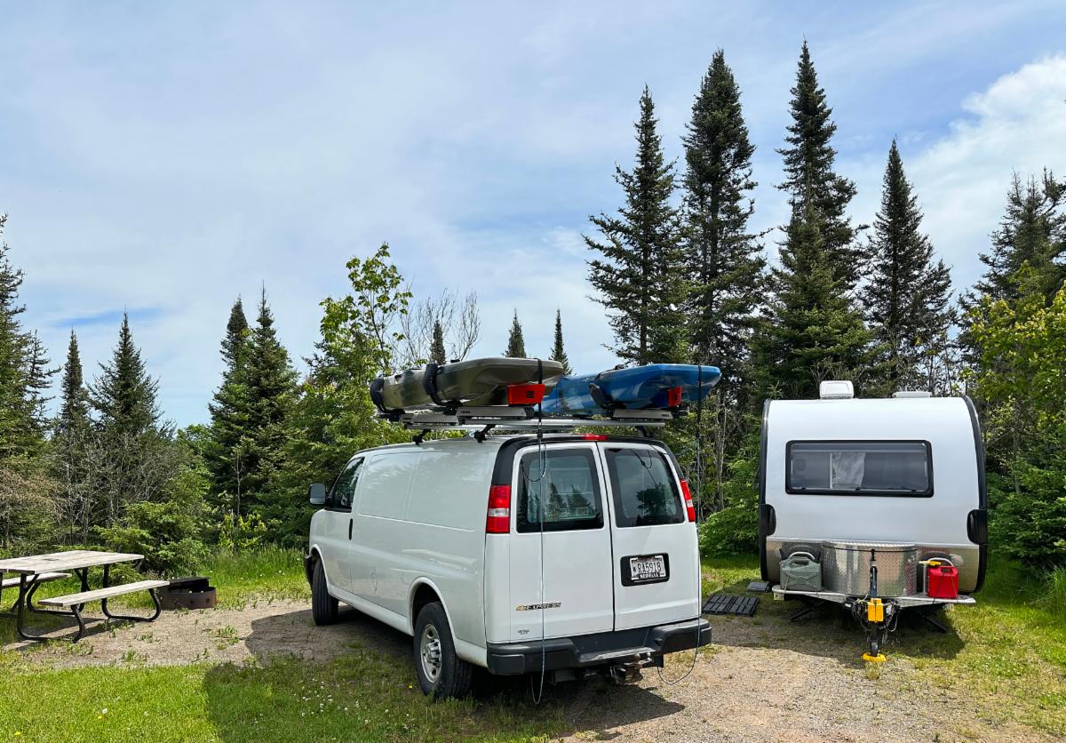
Our campsite in Sleeping Giant was perfect for solar, as long as the sun came out.

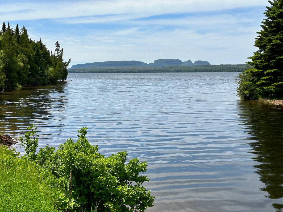
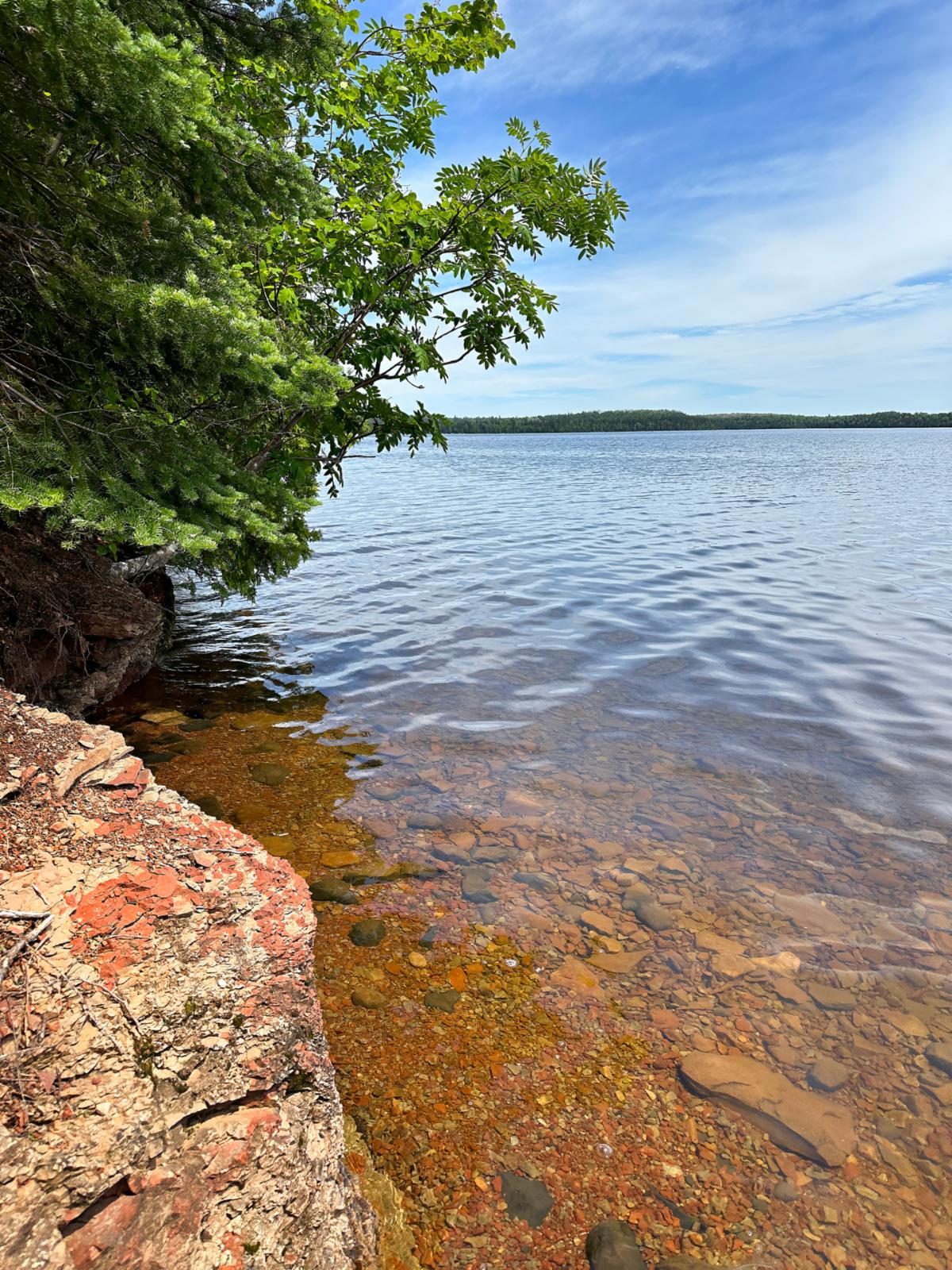
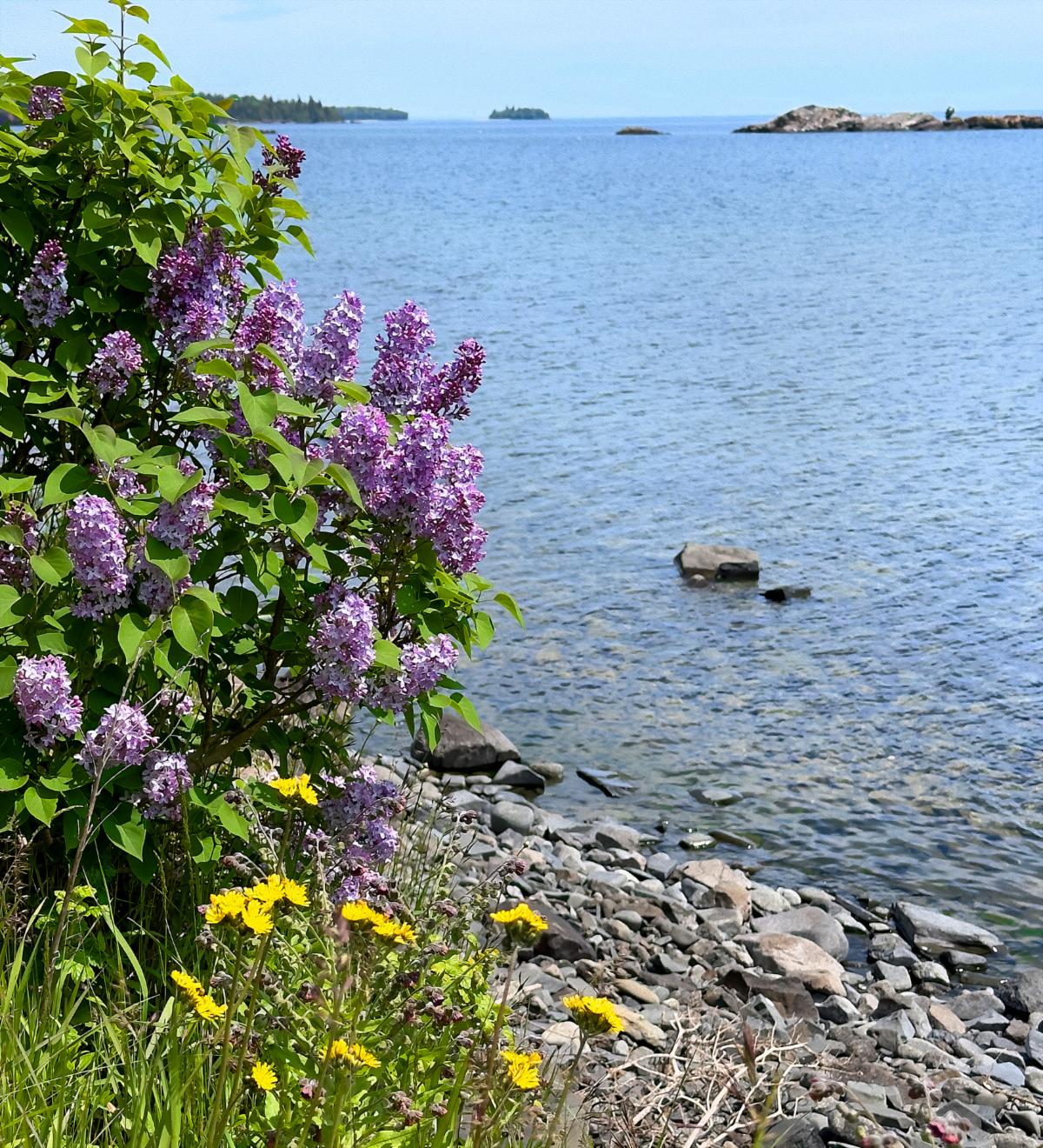
Above and below: Louise Marie Lake. You can see the Sleeping Giant from the back side.

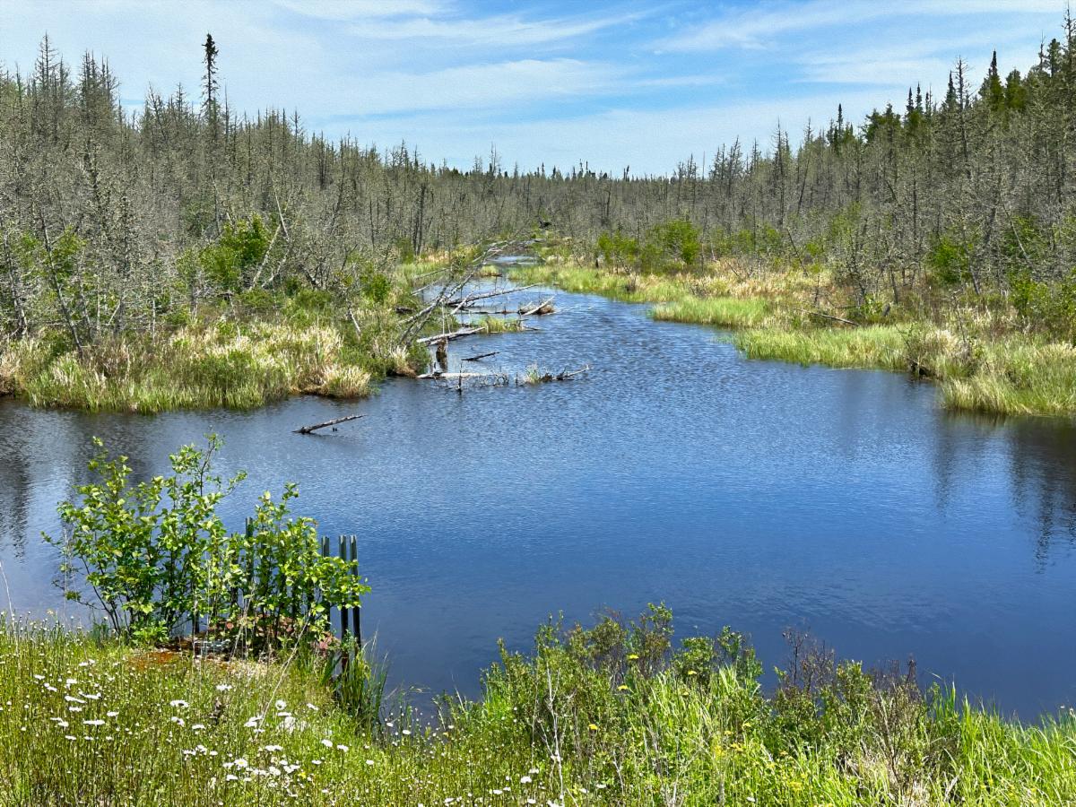
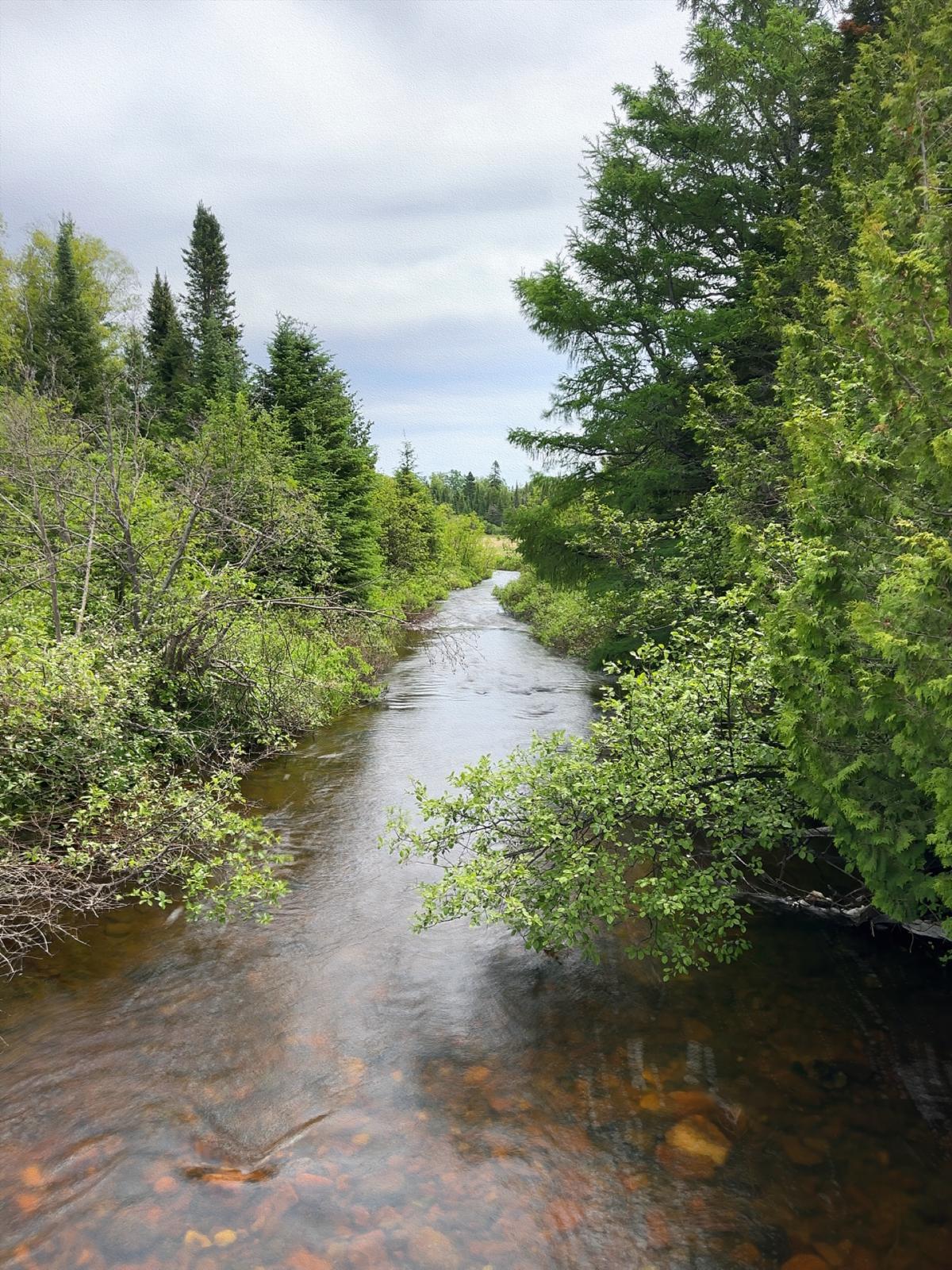
Above and below: Rugged wild mix of forest, creeks, and wetlands in the interior of Sleeping Giant Provincial Park.

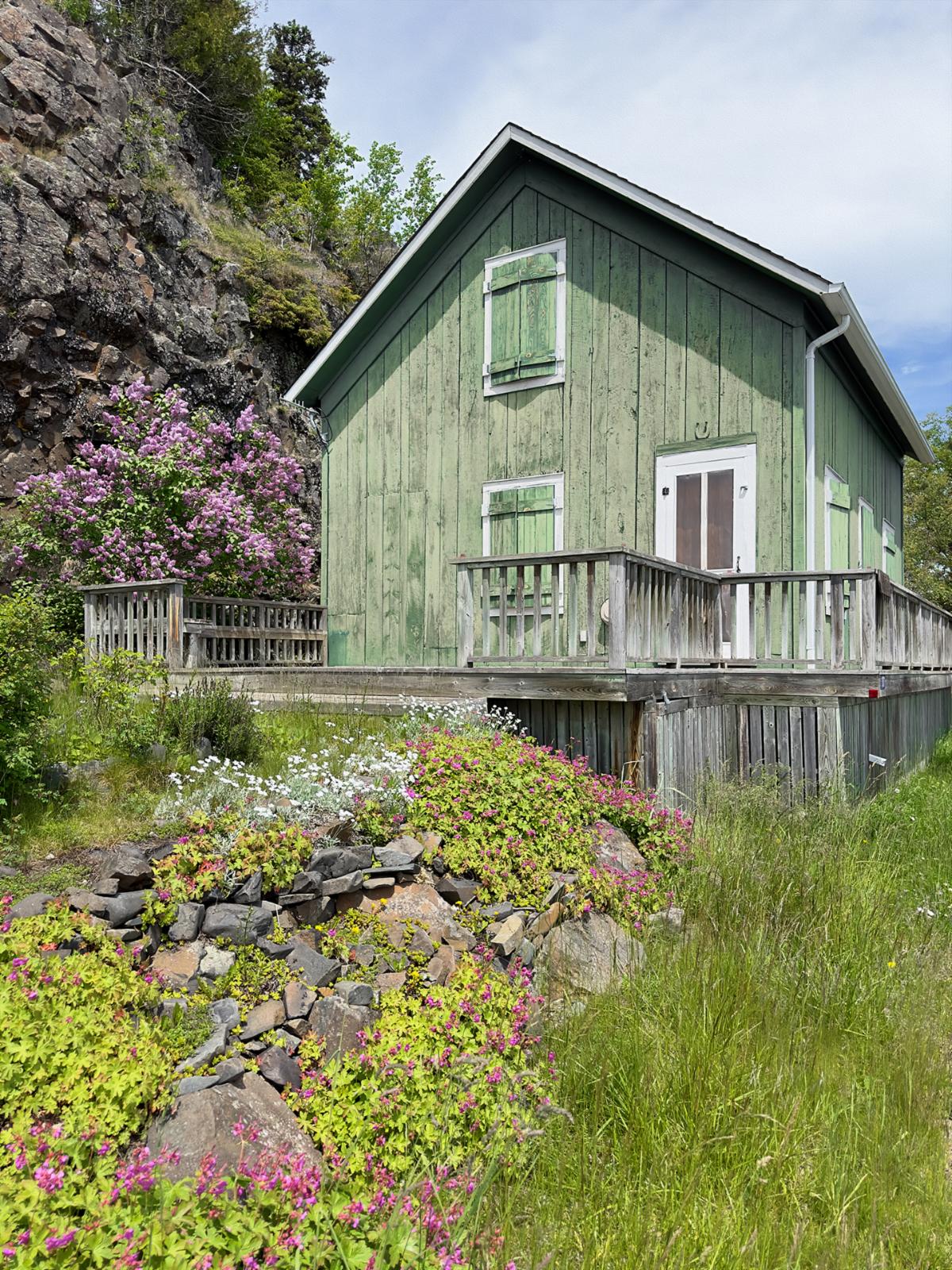
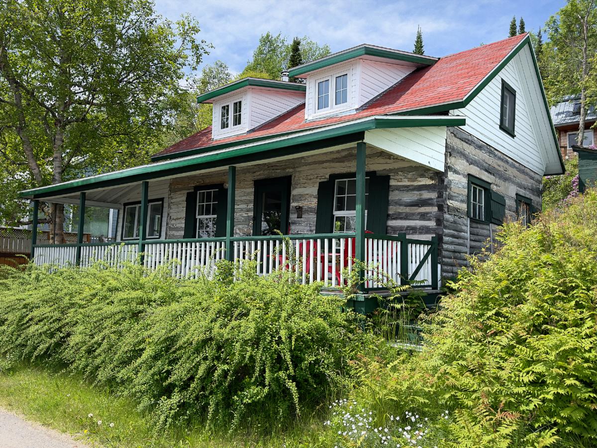
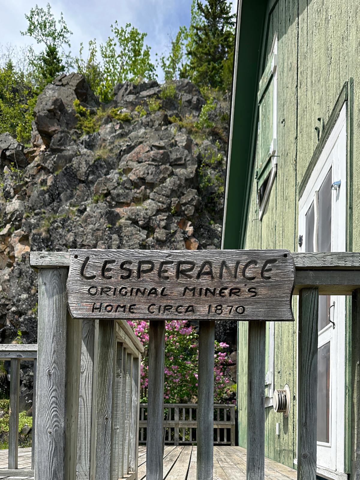
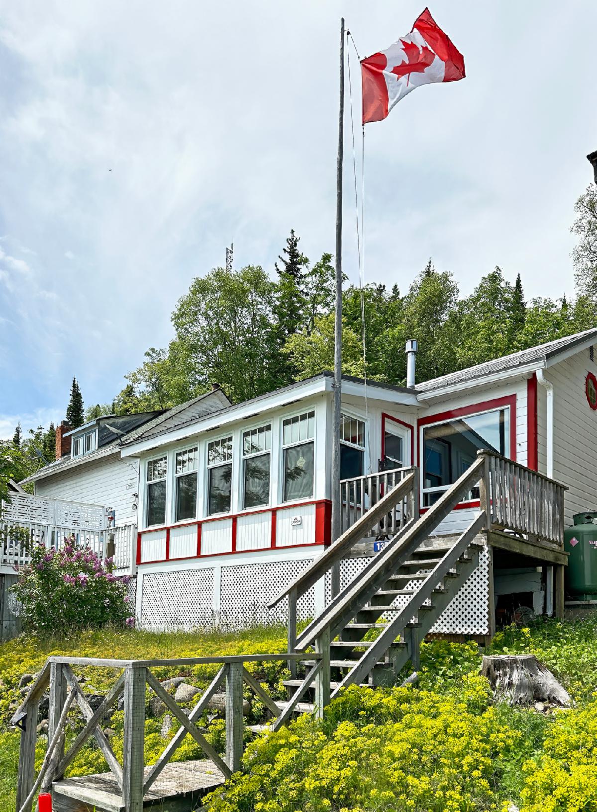
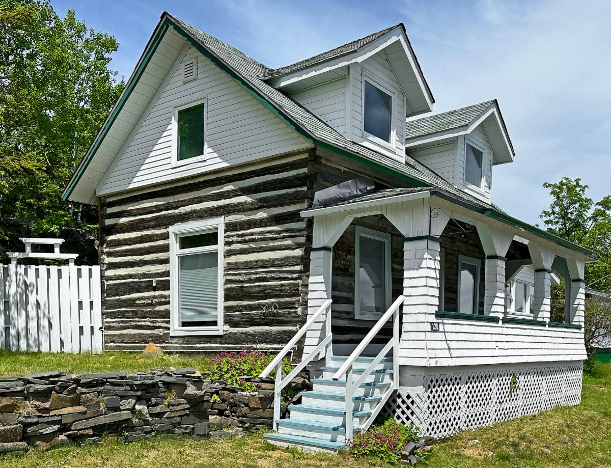
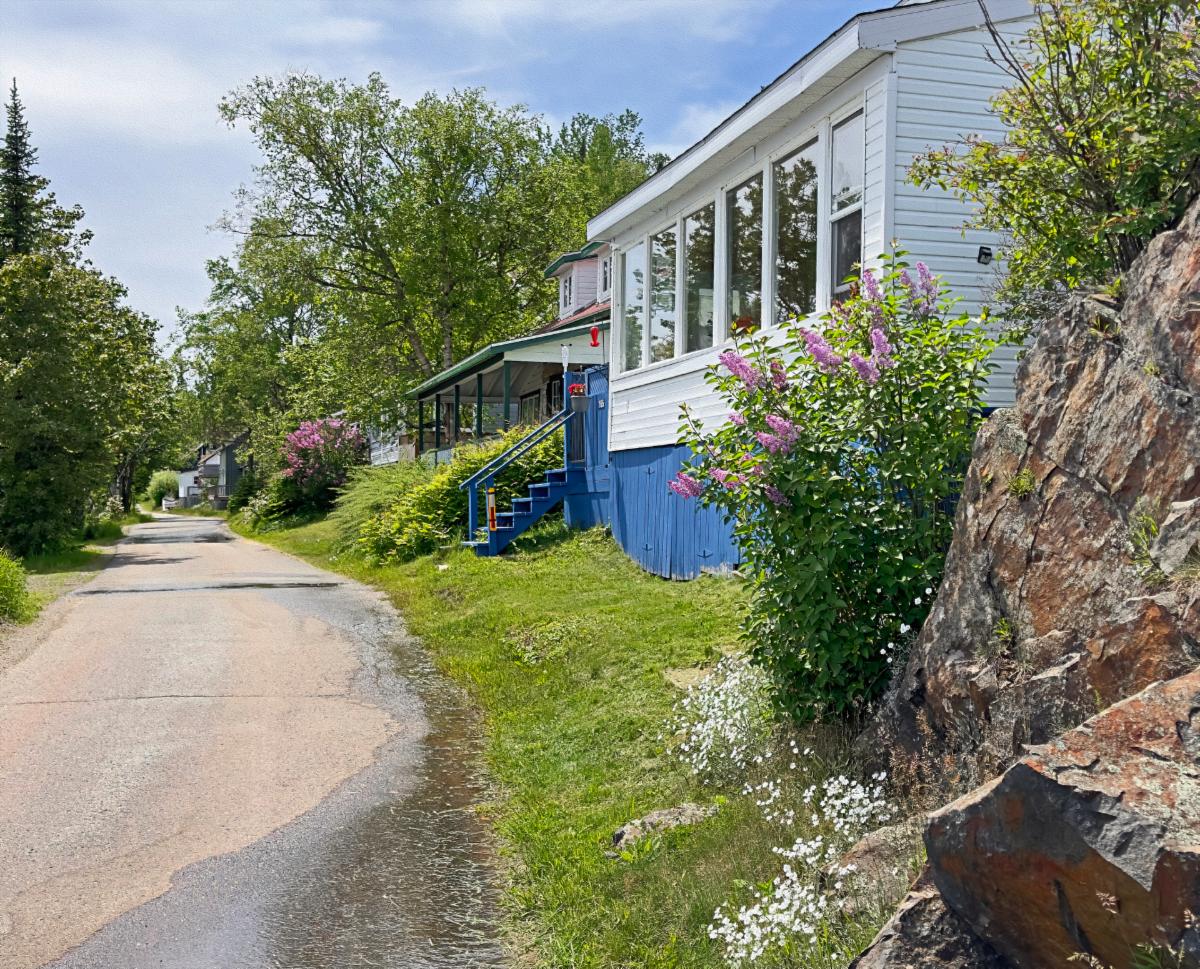
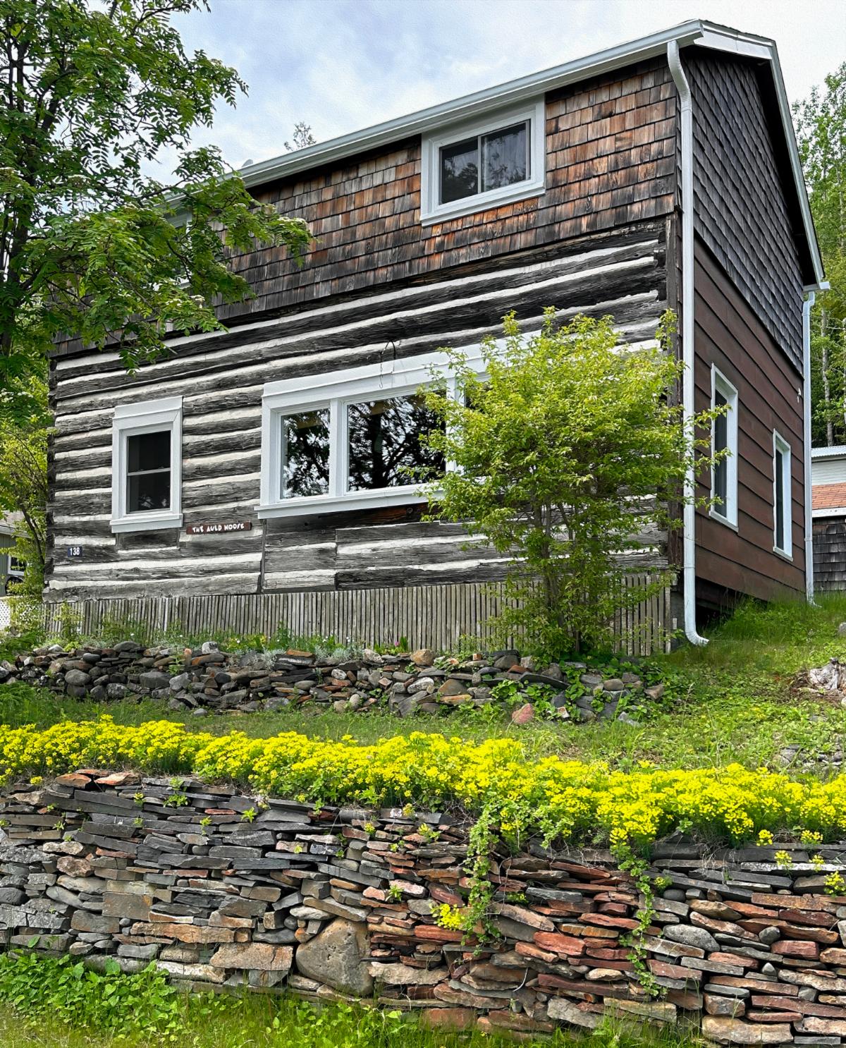
At the bottom tip of the peninsula is the dinky town of Silver Islet. A General Store in the town boasts good cafe food and pie. We were up for pie, so we drove to Silver Islet. The village was charming, with houses cleverly stuffed into a narrow strip of land between Lake Superior and a wall of rock 100 feet high. Back in the 1800s, the town was home to one of the richest silver mines in the world. Several log homes remained from that era, and they were well-maintained.


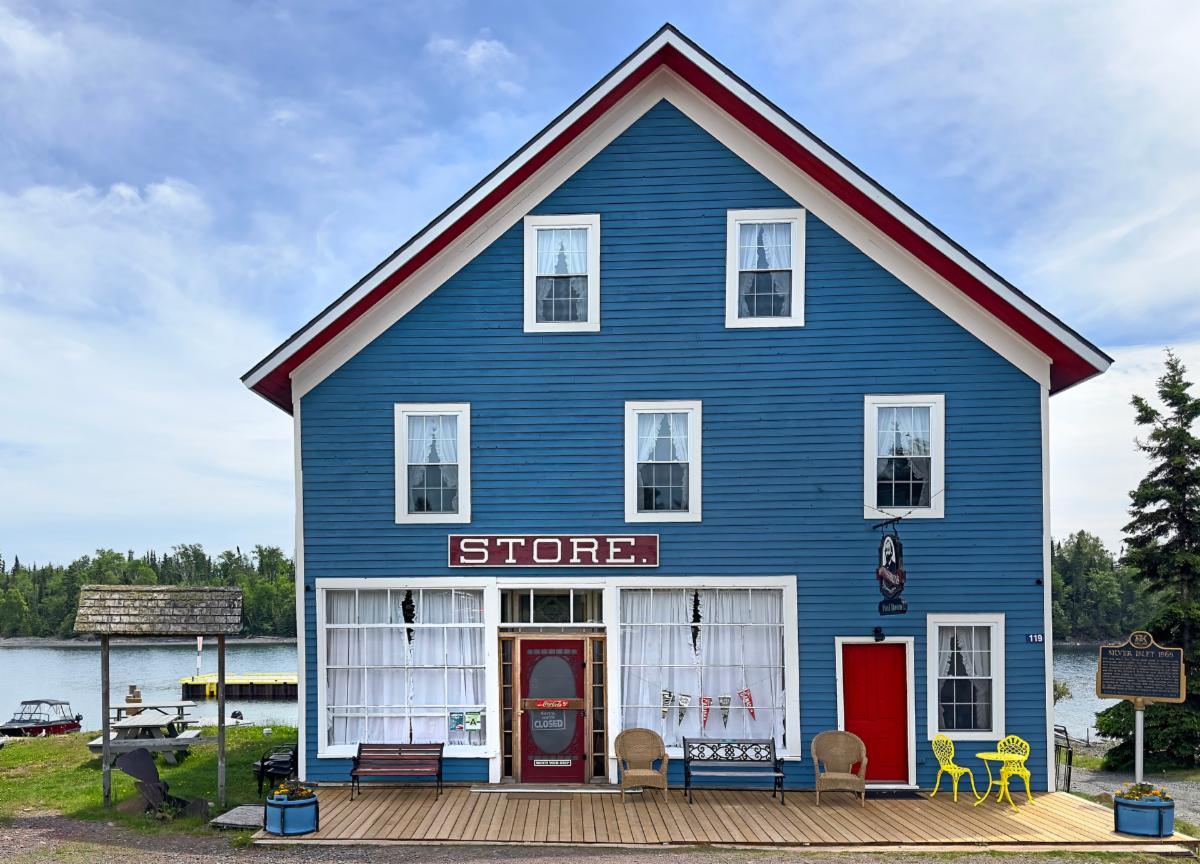
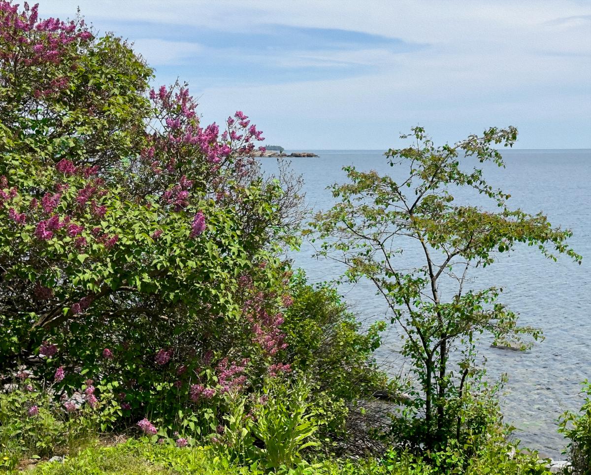
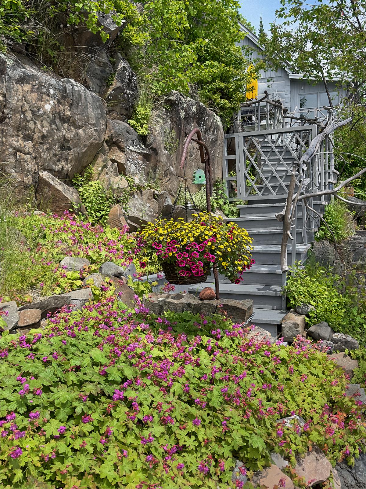
Sadly, the General Store was closed. So, we parked the car and walked the road along the lakefront for 2 miles. It was a beautiful day; the lakefront was delightful and rugged, and the houses were quaint with a plethora of flower gardens. We ran into a handful of tourists, like us, camping at Sleeping Giant. All were disappointed about the closed General Store.


There were precious few locals out and about. Most homes are summer cottages; I guess it isn’t quite summer yet. Still, I managed to find one local lady. She didn’t know why the store was closed. It was open last weekend. It is under new ownership, and she didn’t know them well. We’ll have to check back tomorrow.

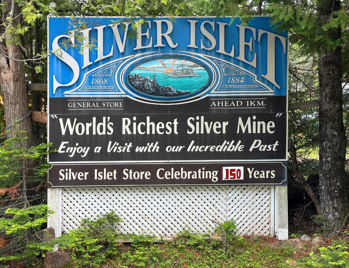
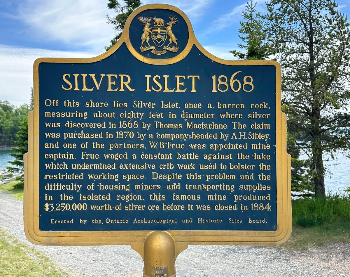
The signage and info plaque celebrate the history of Silver Islet.

The General Store, the only commercial operation in Silver Islet, was closed.

The houses along the main street are sandwiched between Lake Superior and a rock cliff. Many of the homes are left over from the mining days in the 1870s. (Notice the rock wall behind the houses.)

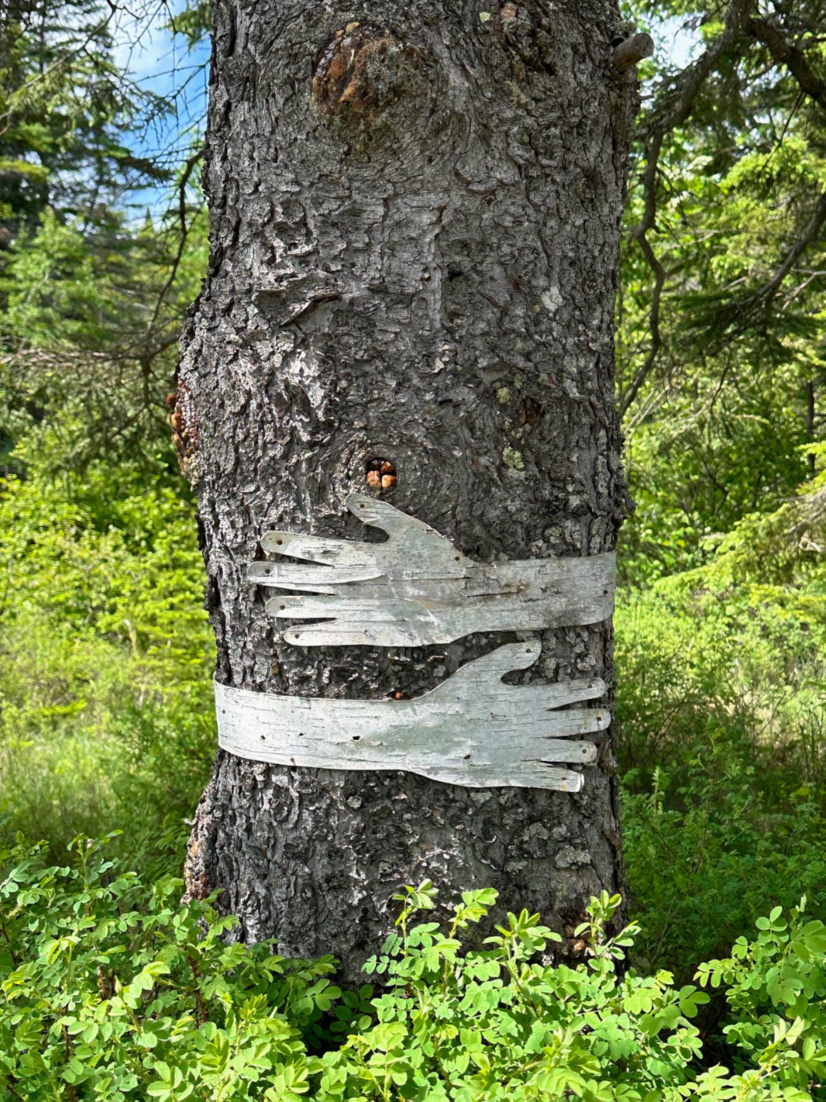
I admit I am a tree-hugger, and this tree caught my eye.

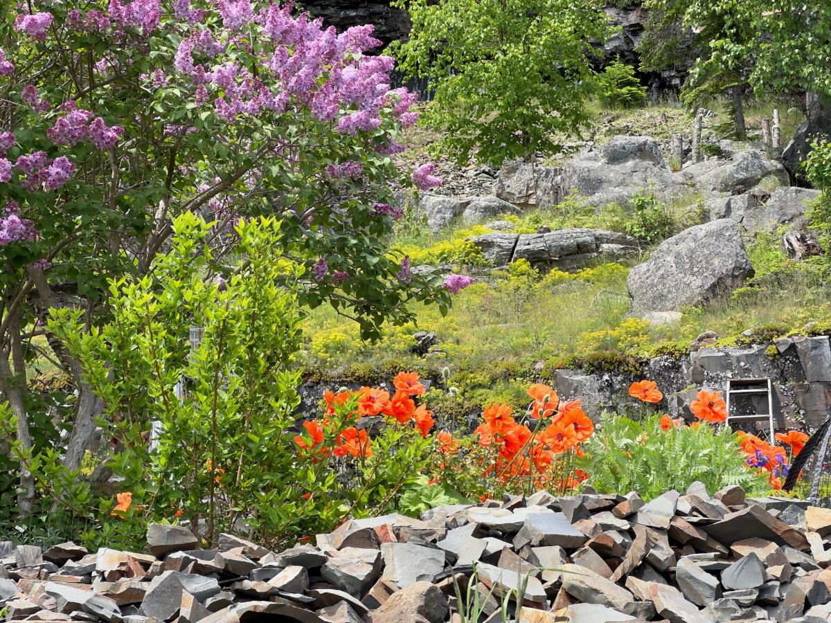
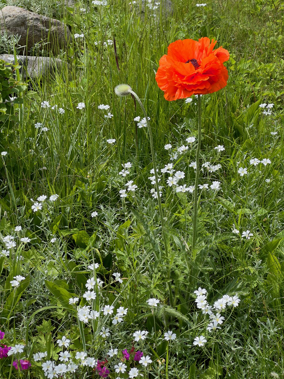
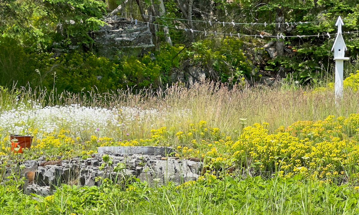
Flowers are everywhere in Silver Islet.

Many of the original 1870s log homes have modern additions.

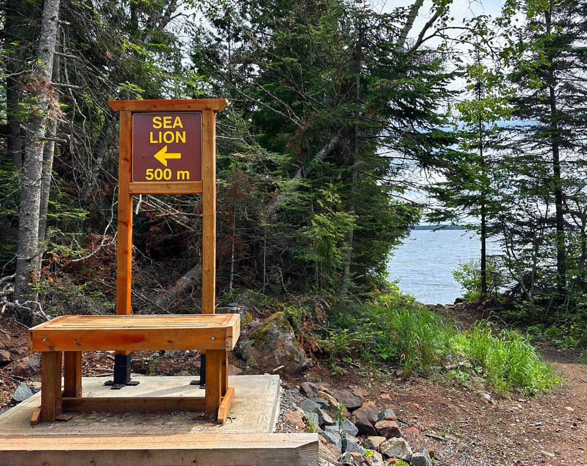
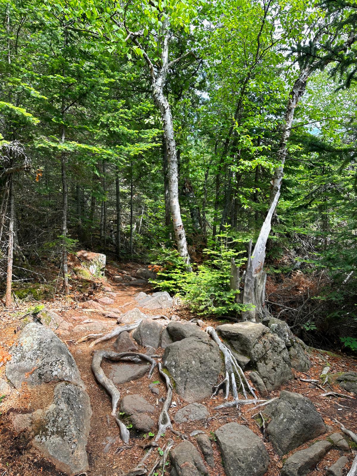
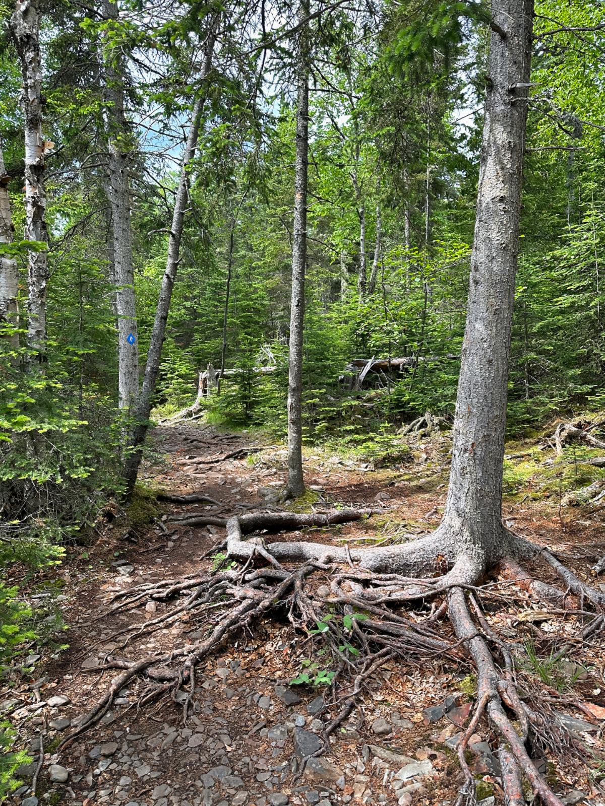
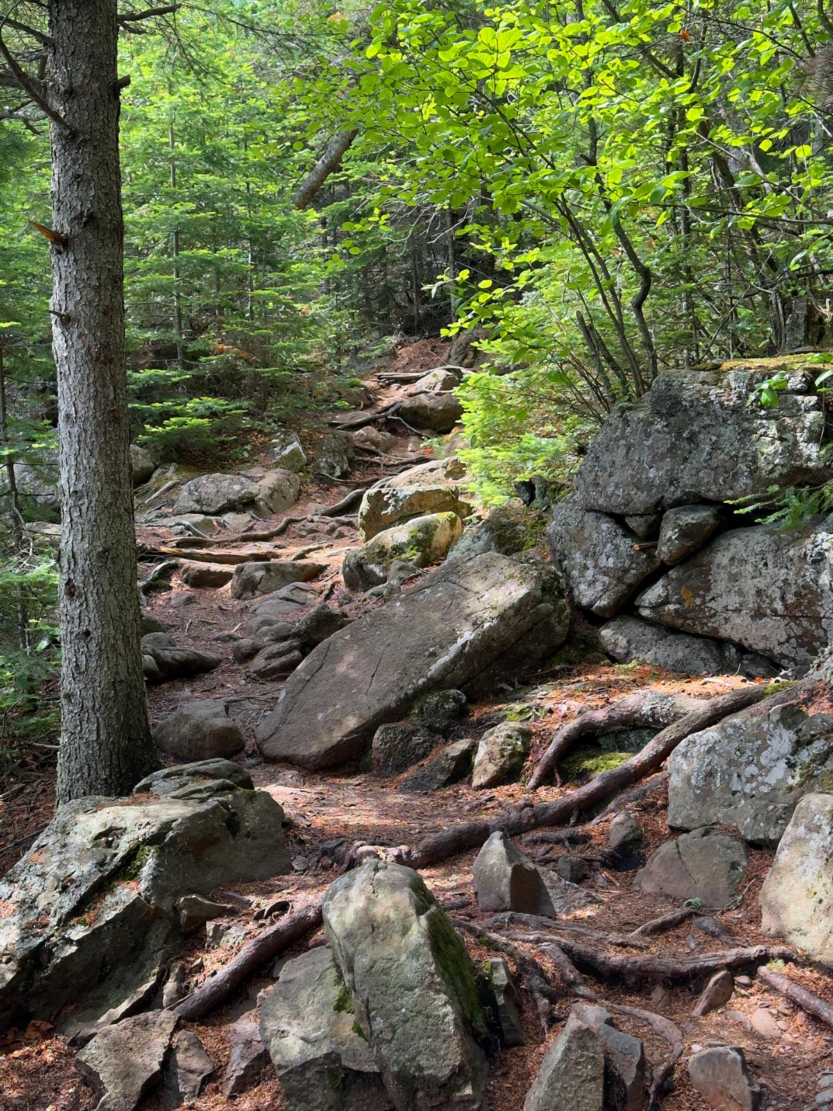
The Sea Lion Trail was just up the road from Silver Islet. We needed another couple of miles to reach our minimum walking quota, so we checked it out. The first half of the trail was wide but all downhill. That meant uphill on the return. The second half was wonderfully rugged, with rock climbing and massive roots to dodge.


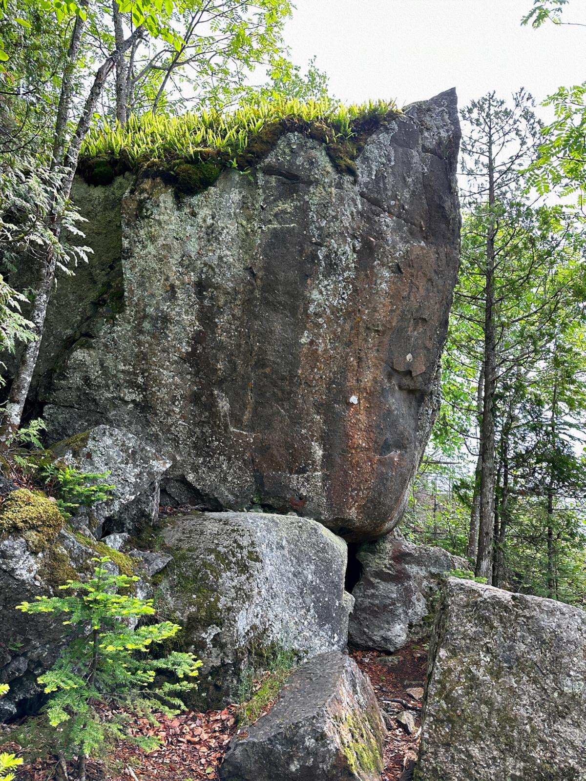
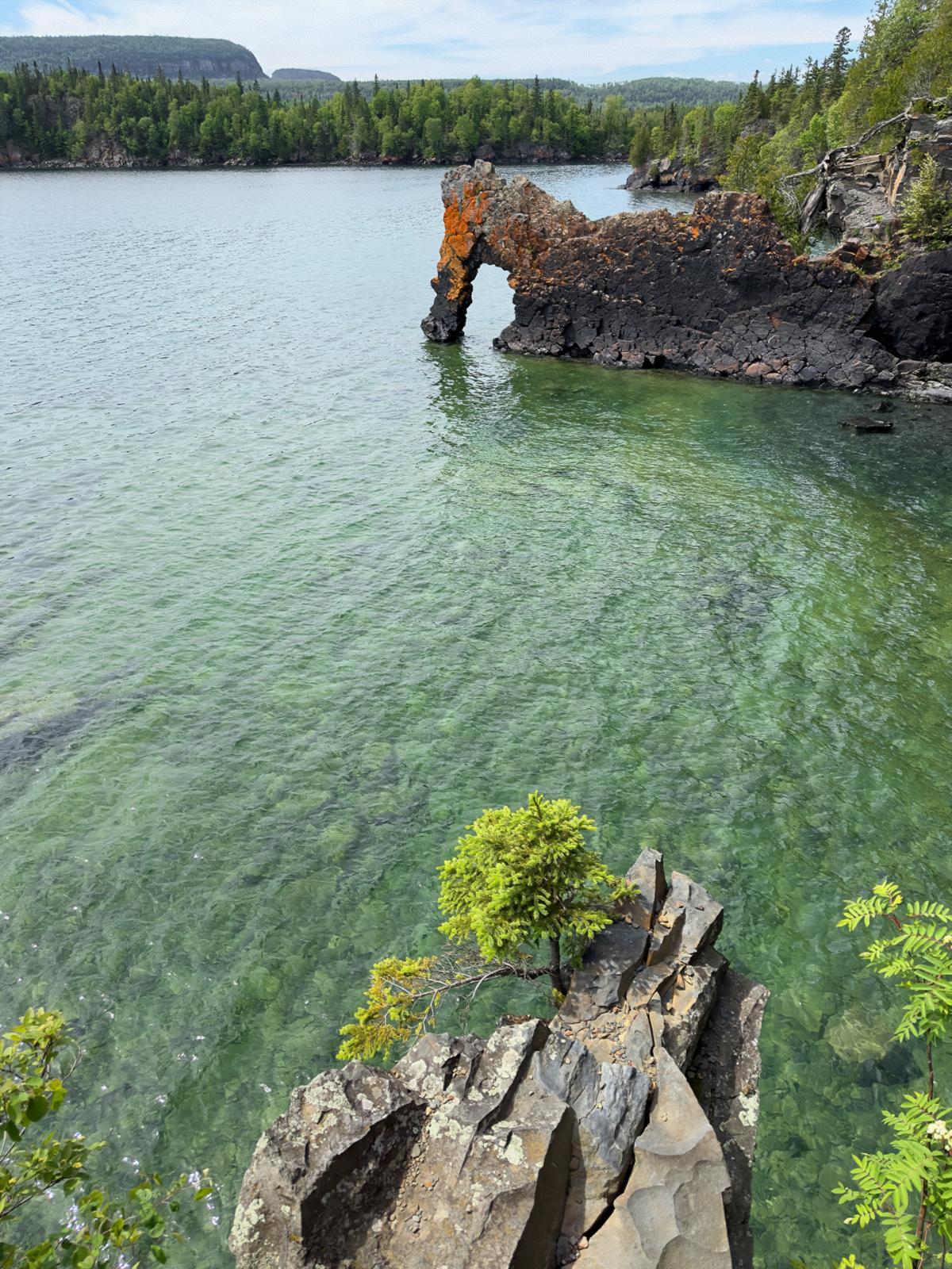
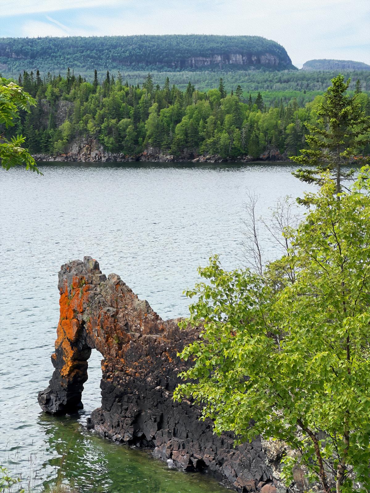
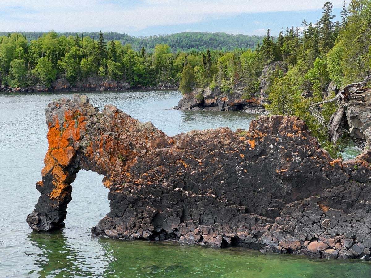
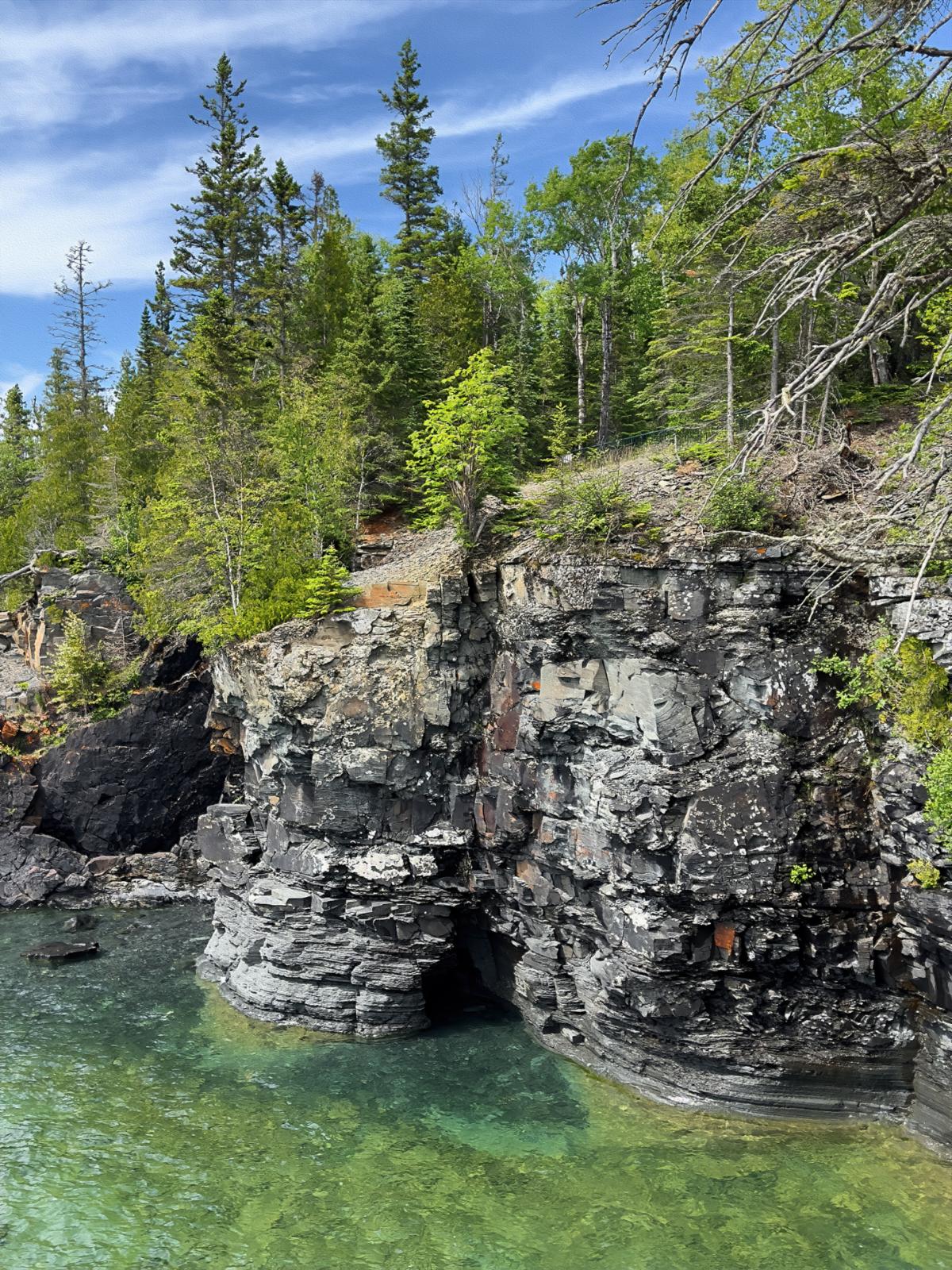
It all came out on a cliff overlooking Lake Superior. Many funky rock outcrops were littering the shallow waters just offshore. The funkiest was the Sea Lion, a colorful rock arch that protruded into the lake perpendicular to the cliff overlooking the big lake. At one time, there was a piece that looked like a sea horse head, but it eroded and fell off. It was still a neat piece of nature’s art.

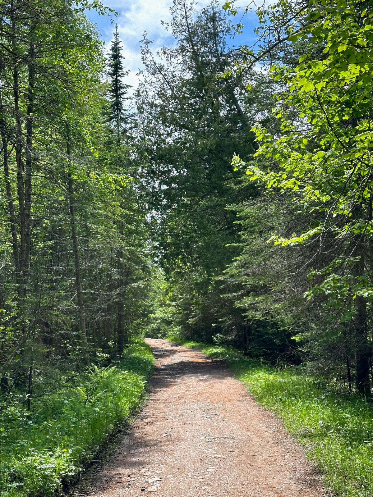
The trail started off deceptively smooth and wide.

The side trail to the Sea Lion turned exceptionally rugged.

Walking this part of the trail required paying attention to each step.

The Sea Lion rearing its head above the gorgeous Lake Superior coastline.

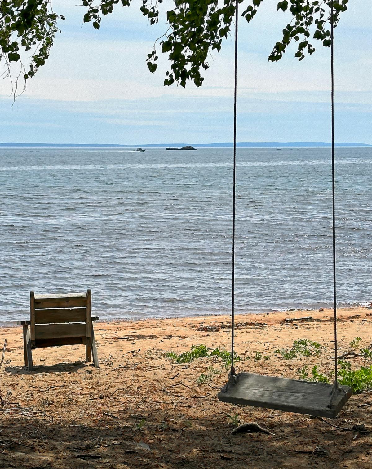
By this time, it was supper, and we got lazy after a filling meal and a large glass of therapeutic red wine. I played my guitar for a while, and then we drove to the beach on Marie Louise Lake. We were told that there is a limited cell signal there. The lake is warmer than Lake Superior, but it was still rather chilly. However, a little four-year-old was splashing around in the lake, oblivious to the water temperature. I was just like that as a kid.

Welcome to All Over The Map Travel Ventures!


Join us as we share our personal travel stories, inspiring you to relax and plan your own adventures. Our blog, a labor of love, helps us keep our memories fresh and connect with fellow travel enthusiasts.


Enjoy exploring our journeys, and if you know someone who might like our travel content, please share our site with them.


Stay up-to-date with our latest destinations by joining our free mailing list. You can also reply to this email to chat with us directly. We’re here to help you plan your next trip, share travel tips, or simply say hello.


Until next time, safe travels, and have fun!

-- David and Wanda Zuege


Message us: 715-252-6664 | 715-252-3326
Email: alloverthemaptravelventures@gmail.com


North America . Europe . Mexico . Asia . Travel Resources . RV Product Reviews

Join Our Email List