December 4, 2024

 
Facebook  Instagram  X  Youtube

NASA Satellites Reveal Abrupt Drop in Global Freshwater Levels 


Globally, average freshwater in rivers, lakes, and aquifers declined in the last eight years compared to average levels from 2002-2014.

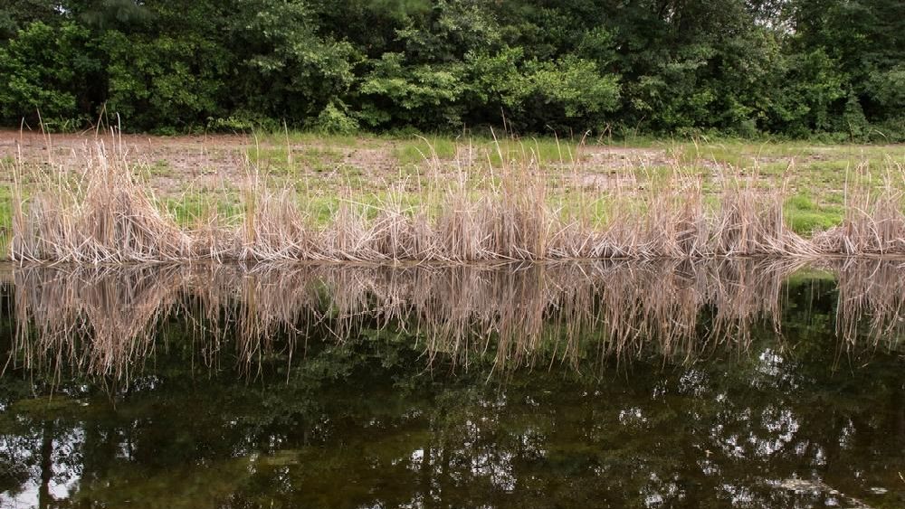
Caption: Reeds line the shoreline and are reflected in a pond in Wilmington, North Carolina. Shutterstock.

An international team of scientists using observations from NASA-German satellites found evidence that Earth’s total amount of freshwater dropped abruptly starting in May 2014 and has remained low ever since. Reporting in Surveys in Geophysics, the researchers suggested the shift could indicate Earth’s continents have entered a persistently drier phase.


From 2015 through 2023, satellite measurements showed that the average amount of freshwater stored on land — that includes liquid surface water like lakes and rivers, plus water in aquifers underground — was 290 cubic miles (1,200 cubic km) lower than the average levels from 2002 through 2014. The decline in global freshwater began with a massive drought in northern and central Brazil, and was followed shortly by a series of major droughts in Australasia, South America, North America, Europe, and Africa. Warmer ocean temperatures in the tropical Pacific from late 2014 into 2016, culminating in one of the most significant El Niño events since 1950, led to shifts in atmospheric jet streams that altered weather and rainfall patterns around the world. However, even after El Niño subsided, global freshwater failed to rebound.

Learn more
 

FEATURED

News & Updates

Arizona-Dust-Storm image
 

UN Launches World Drought Atlas, Revealing Systemic Nature of Risks

Record-breaking droughts are becoming a new normal around the globe. In response, the UN Convention to Combat Desertification (UNCCD) and the European Commission Joint Research Centre (JRC) have launched the World Drought Atlas, which depicts the systemic nature of drought risks for both specialist and non-specialist audiences. Through dozens of maps, infographics, and case studies, it illustrates how drought risks are interconnected across sectors like energy, agriculture, river transport, and international trade and how they can trigger cascading effects, fueling inequalities and conflicts and threatening public health. Learn more >

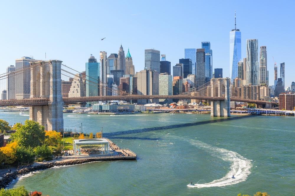
New York City Residents Asked to Save Water Amid Drought Warning

New York City officals recently issued a drought warning amid a historic and continued precipitation shortage. City agencies are implementing a range of drought protocols to conserve water. The City paused the final phase of the NYC Department of Environmental Protection's largest ever infrastructure repair project – the $2 billion Delaware Aqueduct Repair Project. All of the states in the Mid-Atlantic and Northeast are also impacted by this drought.

Learn more >

Funding Opportunity for Communities Planning for Extreme Heat

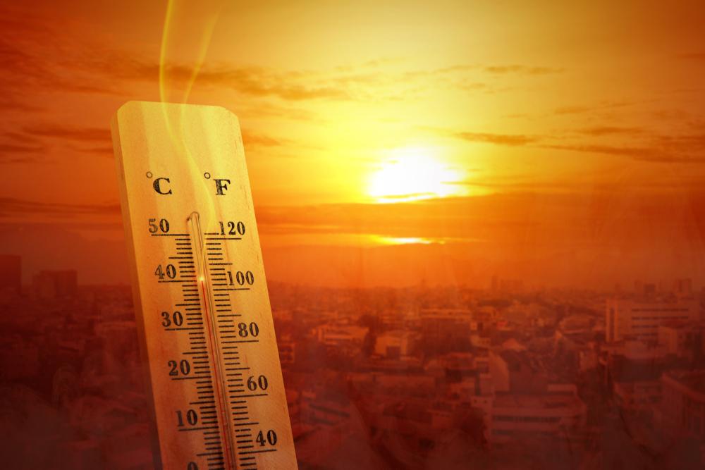
The Center for Heat Resilient Communities recently launched the application period for communities across the U.S. to get support to develop Heat Resilience Roadmaps. Funded through the Inflation Reduction Act, up to 10 selected communities will receive $10,000 and technical assistance to help them determine and communicate the impacts of extreme heat in their communities, assess their capacity to respond, and design a locally tailored blueprint for heat resilience. 

Learn more >

FEATURED MAPS + DATA

Coastal Salinity Index Shows Exceptional Salinity Conditions on Delaware River

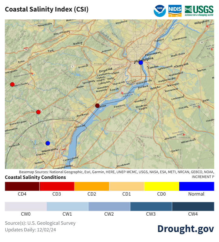
The Coastal Salinity Index (CSI) is a monitoring tool developed in 2017 through a United States Geological Survey (USGS) and NIDIS partnership to help users characterize and assess fluctuating salinity conditions in coastal areas due to events such as drought and floods. As shown on the map below, the Coastal Salinity Classification for the Delaware River at Chester, Pennsylvania is CD4, which indicates exceptional salinity conditions at this station.


The CD4 reading on the Delaware River corresponds with recent actions by the Delaware River Basin Commission (DRBC). Beginning in October, low flows in the Delaware River prompted the DRBC to direct reservoir releases to meet the minimum flow objective for the river at Trenton, New Jersey. The purpose of the Trenton Flow Objective is to control the "salt front" in the tidal Delaware River. Freshwater is needed to keep salty or brackish water from advancing up the Delaware Bay during low-flow conditions and reaching drinking water intakes for Philadelphia and New Jersey communities. The DRBC also held a hearing on November 19 to seek input from interested parties as the DRBC considers declaring a "water supply emergency" if conditions worsen.

NIDIS Seeks Reviewers for FY25 Coping with Drought Grant Competition

NIDIS seeks experts to serve as virtual panelists for technical and relevance review of applications to the Fiscal Year 2025 Coping with Drought: Understanding and Assessing Drought in a Changing Climate grant competition. This is an applied research competition, and we are looking for scientists, technical experts, and decision-makers representing the drought community to ensure proposals are technically sound and will benefit drought assessment and decisions made based on assessments. Please indicate your interest in serving as a review panel member using this form. Virtual panels (Technical and Relevance) will be in early 2025 (~February through April). If you have any questions or issues with the form please contact Britt Parker. 

UPCOMING

Events & Webinars

December 10, 2024 - 1 p.m. MT

Intermountain West December Drought & Climate Outlook Webinar

December 16, 2024 - 11 a.m. PT

Pacific Northwest DEWS December Drought & Climate Outlook Webinar

December 19, 2024 - 1 p.m. CT

North Central U.S. Climate and Drought Summary and Outlook Webinar


Current Drought

Conditions >

Drought Early Warning >

State Drought Information >

About NIDIS

The National Oceanic and Atmospheric Administration’s (NOAA) National Integrated Drought Information System (NIDIS) was authorized by Congress in 2006 (Public Law 109-430) with an interagency mandate to develop and provide a national drought early warning information system, by coordinating and integrating drought research, and building upon existing federal, tribal, state, and local partnerships.