|
Calflora combines millions of plant observations from hundreds of data sources, including Consortium of California Herbaria specimens, iNaturalist observations, Calflora records, and many partner organizations.
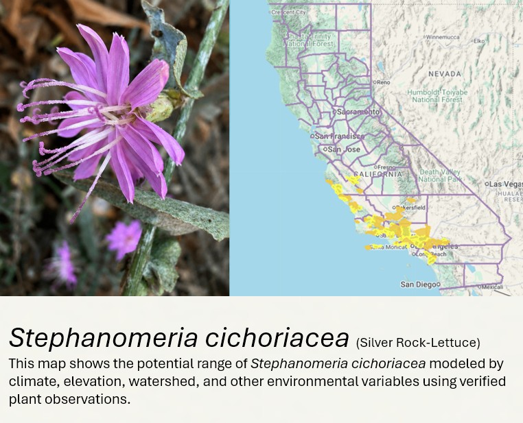
For each documented plant occurrence, Calflora analyzes elevation, precipitation, seasonal temperatures, hardiness zone, growing season, moisture patterns, watershed, and other environmental conditions within the relevant California ecoregion. Our model identifies locations with similar conditions to estimate current suitable habitat and produce a potential range map.
These models represent current suitable habitat; they do not predict the effects of climate change, fire, or future plant distributions. Calflora Plant Range models are a powerful way to explore where current suitable habitat may exist.
|