Far Routt


News & Updates From Routt County Search & Rescue

Spring Edition - April 2023

Tactical Plan - Table of Contents

 
  • Team Debrief: Routt County SAR Missions
  • Radio Chatter: Routt County SAR News & Announcements
  • Backcountry Beta: Tips & Trends
  • Intelligent Intel: Technology Based Tools
 

Team Debrief - RCSAR Mission Reports


By The Numbers

RCSAR Mission Statistics

The number of calls received by RCSAR and hours spent by our volunteer members for missions and trainings have all increased significantly over the past five years. The team now has 41 active, mission-ready members who train extensively to be ready when the next backcountry emergency call comes in.

Year

Number of Missions

Volunteer Mission Hours

2018

48

897.5

2019

44

975.1

2020


60

1,128.7

2021

57

1,580.2

2022

75

2,099.1

2023 To Date (March)

17

789.6

Dispatch

Select Mission Summaries


RCSAR had 17 total missions in the first quarter of 2023. Missions varied from minor (e.g. the RCSAR Incident Commander talked the subject back to safety over the phone), to more complicated overnight rescues that involved numerous rescue personal and agencies. Some of the most challenging missions are highlighted below.

January 8, 2023


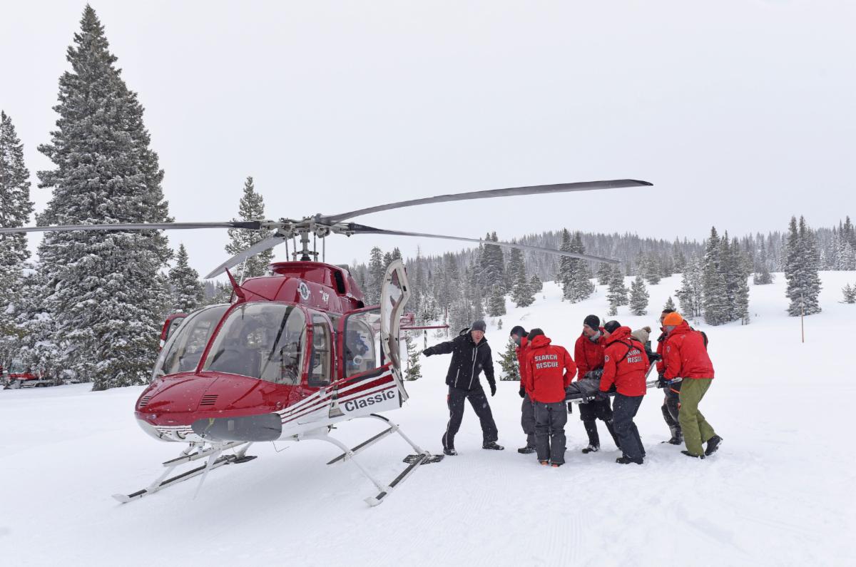
A reporting party (RP) on Buffalo Pass requested assistance for a skier stuck in a drainage at the bottom of Fish Creek Canyon. The RP had spotty radio contact with the subject, and the subject did not have a phone, water, food, or skins. Classic Air Medical flew in from Glenwood Springs and was able to locate the subject but was unable to land due to the terrain and deep snow. RCSAR sent a team of three up Fish Creek and another group up Buffalo Pass to act as a radio relay. The subject was located, uninjured but exhausted, and on Alpine ski equipment which made it very difficult to self rescue. A second team of five was sent in to assist. The team worked together to bring the skier to the Fish Creek Falls parking area. This was a very lengthy mission: the team was first paged at 1:30 PM and returned to RCSAR headquarters at 3:00 AM the following morning.

Read More
 

January 11, 2023


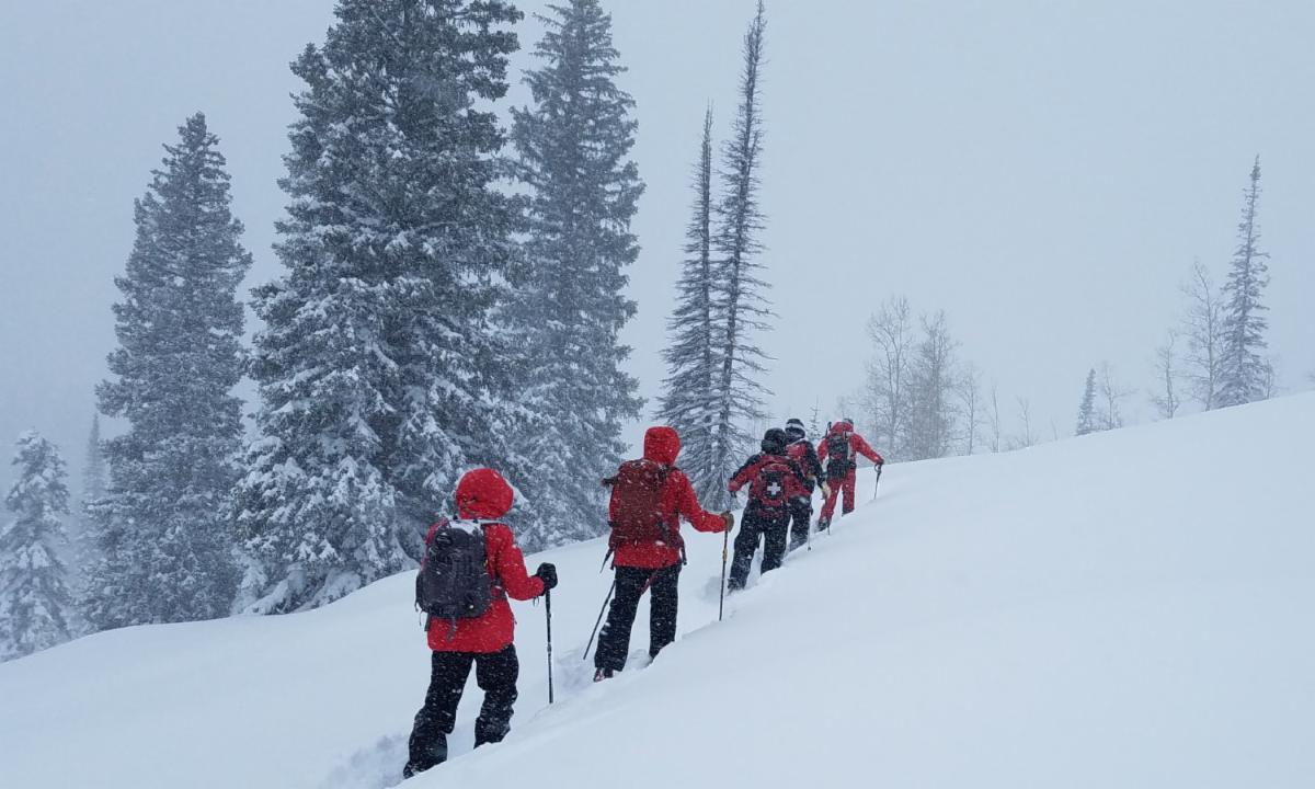
Steamboat Resort Ski Patrol requested RCSAR's aid in locating a skier in a side country area. There was no communication with the subject, so a location could not be pinpointed. A team was dispatched to ski into the backcountry behind the ski area. Snow was falling at a rate that covered tracks rapidly, but the RCSAR team was able to locate ski tracks in the area. The team followed the tracks until they entered avalanche terrain and could not proceed. Another RCSAR team was sent to Alpine Mountain Ranch to search for the subject in the most likely exit routes. They made contact with the subject, who had been able to self-rescue in that area.

Read More
 

January 21, 2023


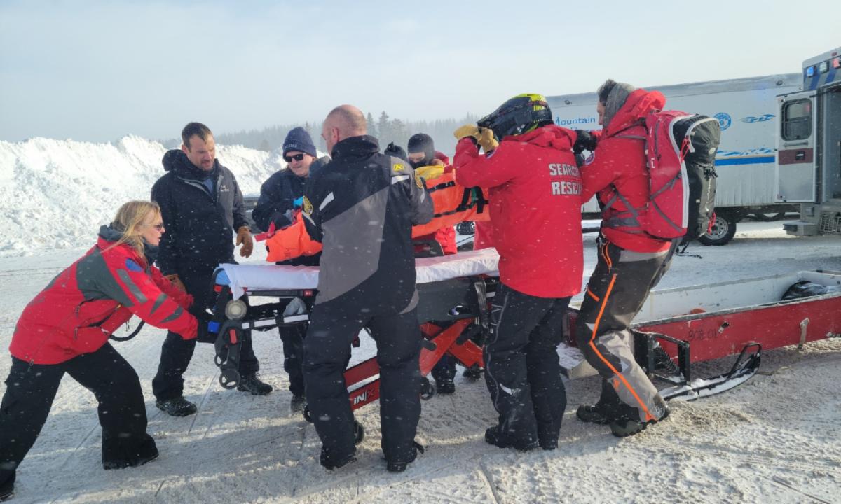
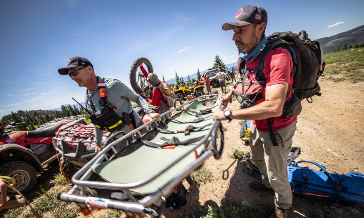
RCSAR received a request for agency assistance from Grand County Search & Rescue (GCSAR) to rescue a snowmobiler with a broken femur near Dumont Lake. This rescue was performed in tandem with GCSAR, and the subject was brought out via patient sled and snowmobiles. Rabbit Ears Pass is vast and includes portions of Routt, Grand, and Jackson Counties. The surrounding counties often coordinate with RCSAR due to our closer proximity and faster response times.


January 27, 2023


RCSAR received notification from Routt County Dispatch of 8 snowmobilers stuck and lost in Fish Creek Drainage west of Long Lake. The snowmobilers were in two separate groups; one group had been able to make fire, the second group (who had abandoned their sleds) was unable to do so. Several inches of snow were falling per hour. RCSAR Incident Commanders carefully consider conditions in determining when to safely send a team into the field. In this case, a team was deployed due to concern that the subjects may not be able to survive the night. The visibility was poor and riding conditions extreme, so RCSAR enlisted the assistance of Steamboat Powdercats to groom the route and guide snowmobilers to the top of Buffalo Pass. The team then needed two members on skis with headlamps to lead the snowmobile team to the subjects. The mission lasted through the night and was not completed until 1:00 PM the following afternoon. All subjects and RCSAR volunteers were extracted safely.

Read More
 

Radio Chatter - News & Announcements

Annual Holiday Gathering


RCSAR held its annual holiday gathering in January. In addition to a great dinner at the Ore House Restaurant and time spent catching up with each other, RCSAR recognized some of its outstanding members for their service in 2022.


Member of the Year (voted on by RSCAR active members and a 3-way tie)

  • Harry Sandler
  • Matt Karzen
  • John Williams


President's Award

  • Jenny Fox
 

Backcountry Beta - Tips & Trends


Sliding Into Spring

Warmer Weather DOES NOT Mean Avalanche Season is Over!


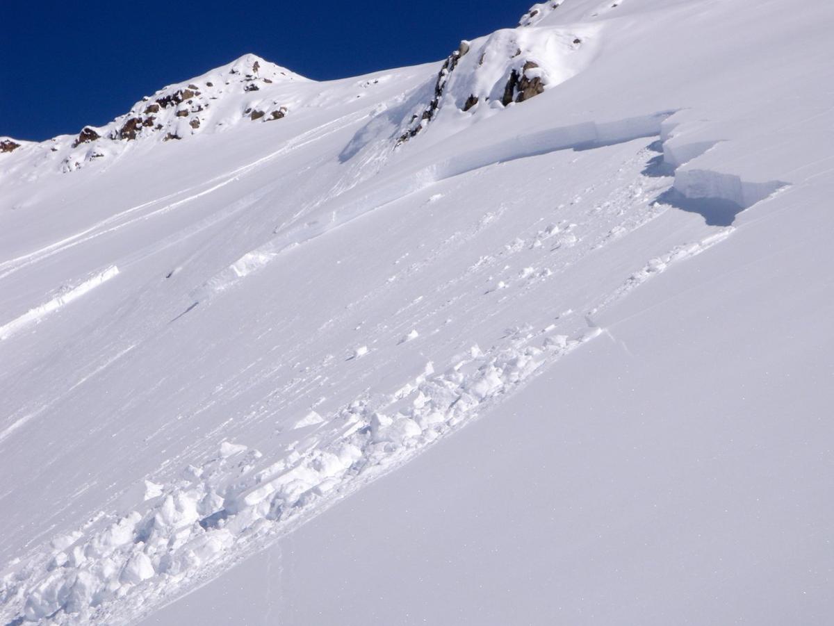
As spring arrives in the high country, the days get warmer and longer, and there are even more reasons to get into the backcountry of the Rocky Mountains. We all dream of the perfect sunny day with blue skies and fun lines through corn snow. This, however, is not the time to relax your caution and vigilance of avalanche danger. Consistently warmer temperatures increase the likelihood of widespread instability due to loose wet avalanches. Wet slab avalanches caused by persistent weak layers also occur in the spring. For more information on spring avalanche safety, visit the BCA website and always check the Colorado Avalanche Information Center website for updates on conditions in your local area.

BCA Website - Spring Avalanche Safety
Colorado Avalanche Information Center
 

Intelligent Intel - Technology Based Tools


Tech Savvy

RCSAR Uses The Latest Technology To Aide In Missions


Late on a snowy January afternoon, Routt County Dispatch (RCD) notified RCSAR of a backcountry skier with a broken leg on Hahns Peak. After getting the skier's GPS coordinates from RCD, RCSAR's Incident Commander (IC) starts working to contact the reporting party, assess the situation, and get a team of rescuers on the road to North Routt. There are many factors at play in this scenario: weather, darkness, cold temperature, avalanche risk, medical status of the injured skier, preparation of the skier and party and their ability to spend the night out, mission risk to the search team, etc.


Initial Assessment


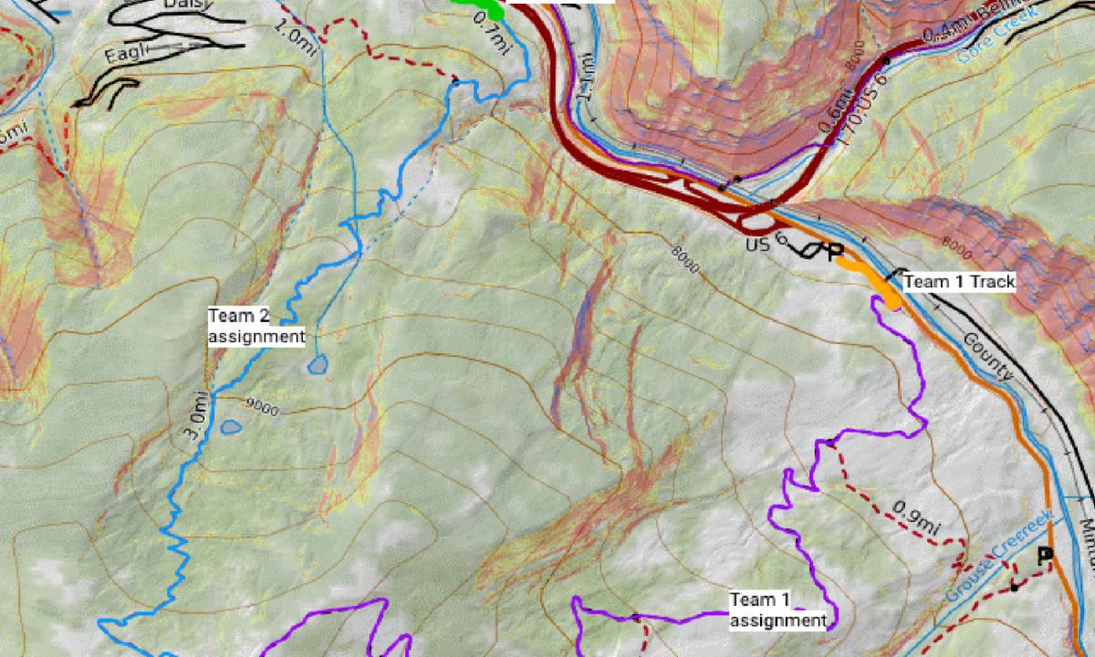
It was not that long ago that Search & Rescue teams across the country relied largely on paper maps and a compass to find and rescue people who were injured and/or lost in the backcountry. Today, new software and datasets provide SAR teams with enhanced tools to quickly and efficiently assess a situation, and identify access and extraction routes. RCSAR uses an online and offline search and rescue application called SARTopo. In the scenario outlined here, if RCSAR determined that the skier was seriously injured and could not spend the night out without considerable risk, SARTopo would enable us to:


  • Develop a comprehensive map for the mission.
  • Review the weather and avalanche forecasts.
  • Assess avalanche risk at the skier's location and along the route.
  • Find and map access and extraction routes for the SAR team, assess safety and accessibility of each possible route, and identify private landowners as needed to obtain access.
  • Locate potential landing zones for a helicopter if weather allowed.
  • Review aerial imagery to identify safety hazards and find nearby shelter such as tree cover, abandoned cabins, etc.


Technology Assisted Rescue


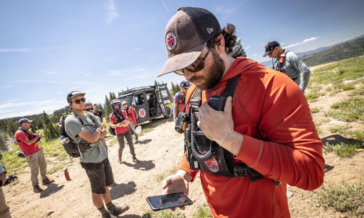
During a rescue, the IC typically remains at RCSAR's headquarters in order to manage and oversee the rescue. The IC is responsible for radio communications with the team, other agencies, and the reporting party, as well as mapping of the rescue. The IC uses SARTopo to:


  • Track multiple teams simultaneously on the SARTopo map in real time (10 minute intervals if no cell service is available).
  • Re-direct the team(s) if they encounter unsafe terrain conditions.
  • Receive information and take notes from team(s) in the field.
  • Track anyone with an SMS link if cell service exists (or record coordinates during radio check-ins from the team in the field).


Search With SARTopo


In the above scenario, RCD was able to give GPS coordinates to RCSAR. This is often not the case, and RCSAR must first locate the person in need of help. This often means direct contact with the lost/injured person or someone reporting the lost/injured person. SARTopo enables mapping of their exact location with an SMS link. A search can also be for someone missing with only a general idea of their location. In this situation, SARTopo is used to create search areas (can be done remotely/simultaneously by different agencies), develop search teams, track teams in the field, and pivot mapping/tracking to a rescue if needed when the lost person is located.


RCSAR Needs New Equipment To Maximize Effectiveness of SARTopo


RCSAR is currently working to update its IC office and computer equipment at RCSAR headquarters. We are looking to create dual workstations, which will involve the purchase of four monitors large enough for a team of people to view, and new desks. If you are interested in helping RCSAR purchase this new equipment, please donate or contact RCSAR at marketing@routtcountysar.org to fund a specific piece of equipment. We appreciate your continued support of our all volunteer team!

Donate To RCSAR Today
Visit Our Website
 Make A Donation
     Contact Us      
  We're On Social 
LinkedIn Share This Email