Tech Savvy
RCSAR Uses The Latest Technology To Aide In Missions
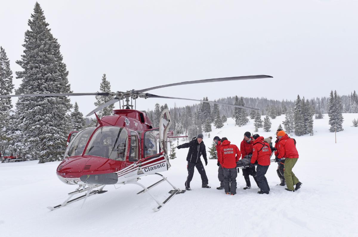
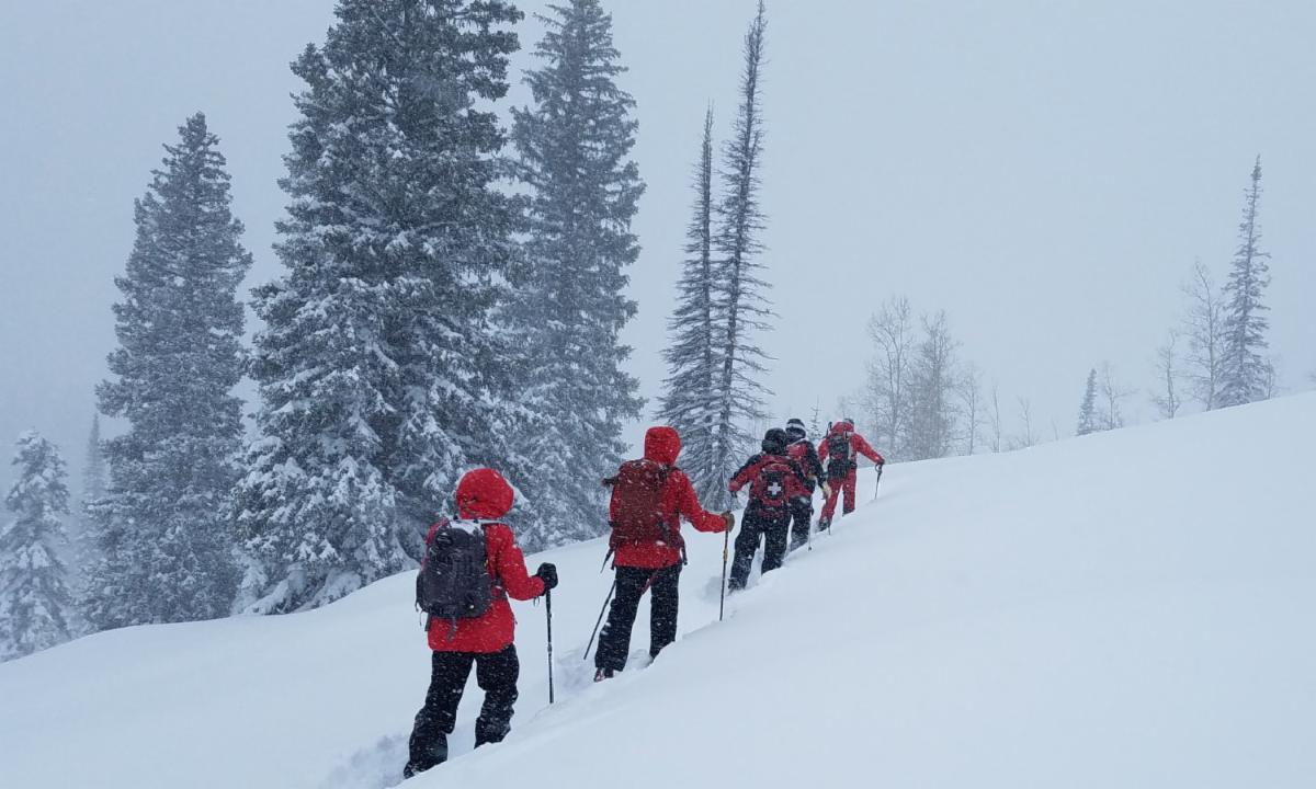
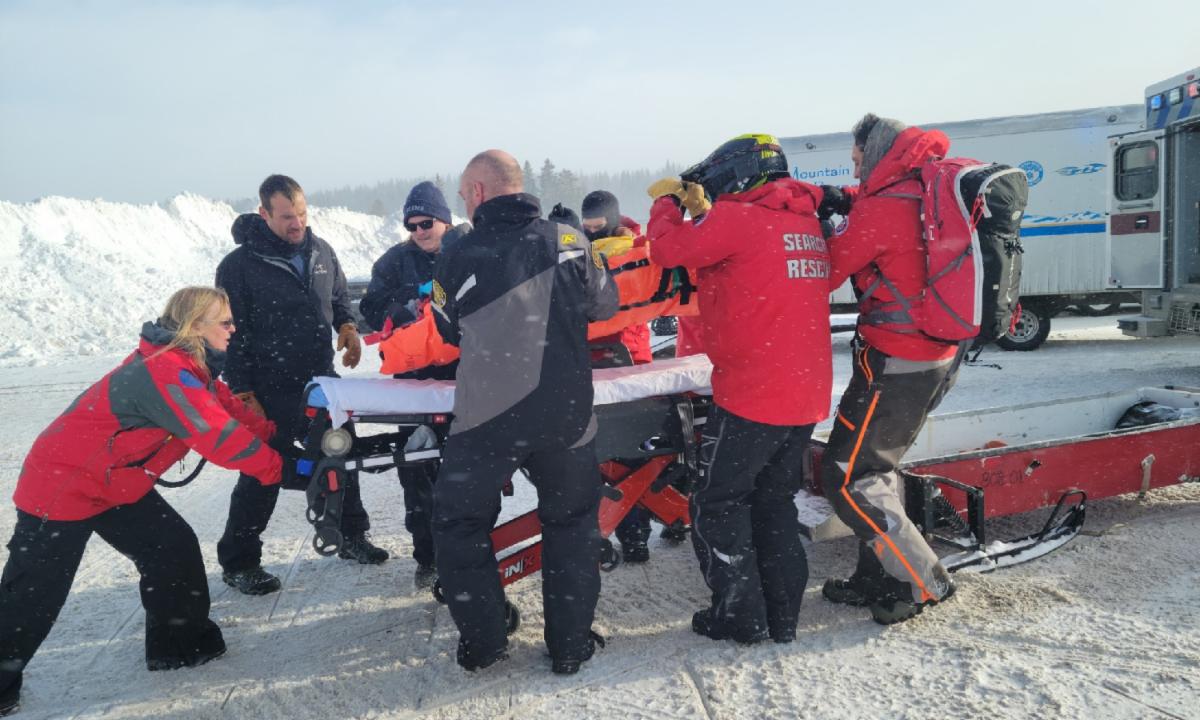
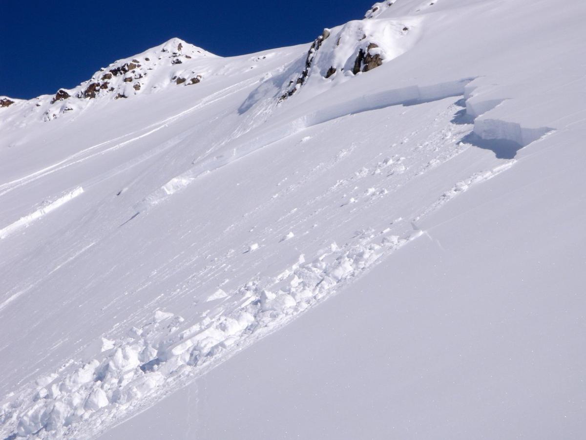
Late on a snowy January afternoon, Routt County Dispatch (RCD) notified RCSAR of a backcountry skier with a broken leg on Hahns Peak. After getting the skier's GPS coordinates from RCD, RCSAR's Incident Commander (IC) starts working to contact the reporting party, assess the situation, and get a team of rescuers on the road to North Routt. There are many factors at play in this scenario: weather, darkness, cold temperature, avalanche risk, medical status of the injured skier, preparation of the skier and party and their ability to spend the night out, mission risk to the search team, etc.
Initial Assessment
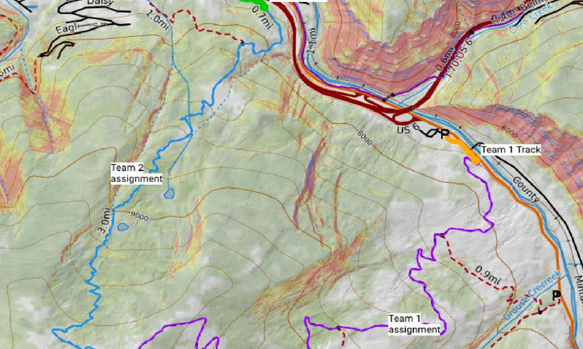
It was not that long ago that Search & Rescue teams across the country relied largely on paper maps and a compass to find and rescue people who were injured and/or lost in the backcountry. Today, new software and datasets provide SAR teams with enhanced tools to quickly and efficiently assess a situation, and identify access and extraction routes. RCSAR uses an online and offline search and rescue application called SARTopo. In the scenario outlined here, if RCSAR determined that the skier was seriously injured and could not spend the night out without considerable risk, SARTopo would enable us to:
- Develop a comprehensive map for the mission.
- Review the weather and avalanche forecasts.
- Assess avalanche risk at the skier's location and along the route.
- Find and map access and extraction routes for the SAR team, assess safety and accessibility of each possible route, and identify private landowners as needed to obtain access.
- Locate potential landing zones for a helicopter if weather allowed.
- Review aerial imagery to identify safety hazards and find nearby shelter such as tree cover, abandoned cabins, etc.
Technology Assisted Rescue
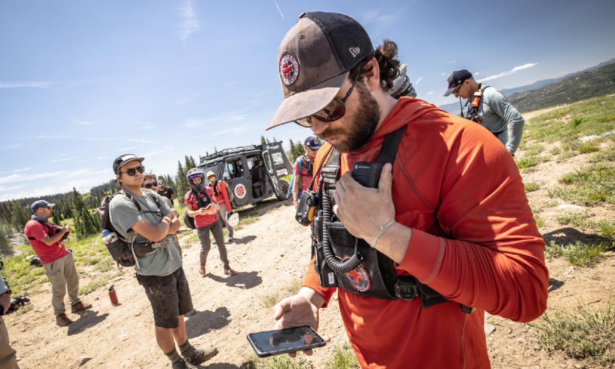
During a rescue, the IC typically remains at RCSAR's headquarters in order to manage and oversee the rescue. The IC is responsible for radio communications with the team, other agencies, and the reporting party, as well as mapping of the rescue. The IC uses SARTopo to:
- Track multiple teams simultaneously on the SARTopo map in real time (10 minute intervals if no cell service is available).
- Re-direct the team(s) if they encounter unsafe terrain conditions.
- Receive information and take notes from team(s) in the field.
- Track anyone with an SMS link if cell service exists (or record coordinates during radio check-ins from the team in the field).
Search With SARTopo
In the above scenario, RCD was able to give GPS coordinates to RCSAR. This is often not the case, and RCSAR must first locate the person in need of help. This often means direct contact with the lost/injured person or someone reporting the lost/injured person. SARTopo enables mapping of their exact location with an SMS link. A search can also be for someone missing with only a general idea of their location. In this situation, SARTopo is used to create search areas (can be done remotely/simultaneously by different agencies), develop search teams, track teams in the field, and pivot mapping/tracking to a rescue if needed when the lost person is located.
RCSAR Needs New Equipment To Maximize Effectiveness of SARTopo
RCSAR is currently working to update its IC office and computer equipment at RCSAR headquarters. We are looking to create dual workstations, which will involve the purchase of four monitors large enough for a team of people to view, and new desks. If you are interested in helping RCSAR purchase this new equipment, please donate or contact RCSAR at marketing@routtcountysar.org to fund a specific piece of equipment. We appreciate your continued support of our all volunteer team!
|