|
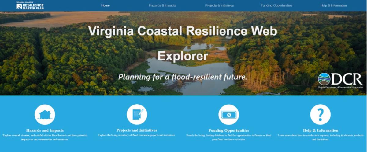
We are pleased to share that the updated Coastal Resilience Web Explorer is now live! The Coastal Resilience Web Explorer is a publicly accessible online tool that allows users to visualize coastal, riverine, and rainfall-driven flood hazard and impact data at a variety of geographic scales within coastal Virginia using maps and dashboards in an interactive format.
The Coastal Resilience Web Explorer also includes an inventory of ongoing and planned resilience projects and initiatives, as well as flood resilience funding opportunities. This inventory is a “living” resource that DCR and stakeholders update on a periodic basis, providing timely information on opportunities for building flood resilience.
You can use this resource to better understand local and regional flooding challenges, develop comprehensive plans or hazard mitigation strategies, advance flood resilience actions, make informed decisions, secure funding and policy-maker support, and educate public audiences.
We encourage you to dive in, explore the resource, and as always, don’t hesitate to reach out if you have any questions, comments, or would like more information.
|