|
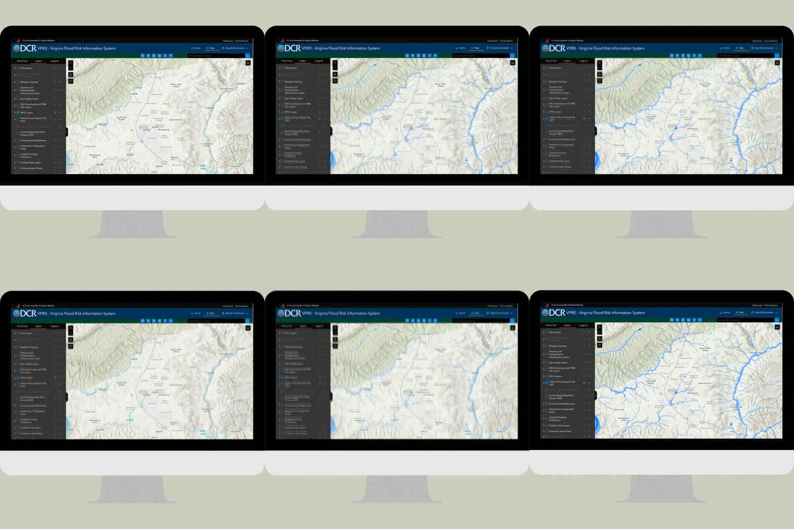
DCR recently refreshed the Virginia Flood Risk Information System (VFRIS). This tool helps users determine their flood risk. It now includes more data layers.
One of the new layers is the Fathom Flood Hazard (1% AEP). This layer displays a non-regulatory 1% annual exceedance probability (AEP) floodplain extent that includes coastal, rainfall-driven, and riverine flood sources. It is appropriate for larger-scale planning applications. Users can view the data and compare it to other data layers available via the VFRIS.
DCR is leveraging this data to fill gaps in outdated and incomplete FEMA flood hazard data for the Virginia Flood Protection Master Plan. The statewide dataset includes areas vulnerable to rainfall-driven flooding not typically mapped by FEMA.*
Additional Fathom data is available for certain public entities in Virginia to sub-license from DCR for planning purposes. Contact us to learn more about available products.
|