Hi everyone,


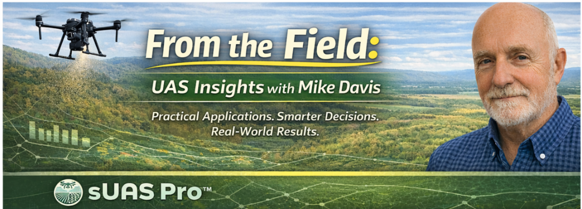
I’m Mike Davis, PhD, professor of UAS technology, and someone who has spent a good part of my career focused on how unmanned aircraft systems can be applied in real, working landscapes.


I started this bi-monthly newsletter to share what I’m seeing in the field, in research, and in the classroom.


My goal is simple: help bridge the gap between what drones can do and what actually makes sense: operationally, economically, and environmentally.


Each newsletter edition will focus on practical applications, such as how to use drones more efficiently, how to make better decisions with the data they collect, and how to expand their role in agriculture, restoration, and land management in a way that’s sustainable over the long term.

A Smarter Approach to Drone Seeding: Introducing Broadcast Seeding Suitability (BSS).


One of the areas we’ve been focused on recently at UAS Agriculture is improving how drone seeding is planned, not just executed.


We’re developing a concept called Broadcast Seeding Suitability (BSS).


At its core, BSS is built on a simple idea: not every acre has the same value for broadcast seeding.


By combining drone mapping, terrain analysis, and site evaluation, we can start to identify where aerial seeding is most likely to be effective—and where resources may be better used elsewhere.


This becomes especially important in restoration work, where conditions are often challenging. Rugged terrain, limited treatment windows, and the cost of seed and flight time all demand a more strategic approach.


What BSS represents is a shift in thinking. Instead of treating drones purely as delivery tools, we can use them as part of a broader decision-support system—one that’s informed by mapped data and real field conditions.


We’ve put together a full article that dives deeper into this concept and how it applies to post-fire recovery, rangeland restoration, and other aerial seeding efforts.


Click the button below to read the full article on the UAS Agriculture website. 

Fall UAS Course


This September, I’ll be leading a 40–50 hour UAS Mapping Training Course designed for those looking to build real operational capability, not just flight time.


The course runs over 10 weeks, with two sessions per week (three hours each), and is offered in two formats:


  • In-person
  • Hybrid (online + in-person), which includes required on-site sessions (approximately two weekends)


We break the training into three key phases:


  • Flight Operations – How to safely and effectively operate larger drone platforms and capture quality data
  • Mapping & Data Capture – Including multispectral imaging and how to collect accurate, usable datasets
  • Processing & Deliverables – Turning collected data into outputs that support real-world decision-making


The goal is to make sure you leave not just knowing how to fly but understanding how to get meaningful results from what you collect.


If you’re interested in attending, click the button below to email me directly.

There’s a significant shift happening right now in the U.S. research space that’s worth paying attention to.


Universities receiving federal funding are increasingly being asked to move away from Chinese-manufactured drones. In some cases, continued use of that equipment could put grant funding at risk.


This has created a fair amount of uncertainty across academic and applied research programs.


For those navigating this, collaboration is going to be key. Community colleges, universities, and local suppliers can play an important role in helping teams transition to compliant platforms and maintain continuity in their work.


Click the button below to read the article I wrote surrounding the shockwave.

It’s something I’m watching closely, and I’ll continue to share updates as this evolves.

There’s a lot of noise in the drone space right now, but also a lot of opportunity.


My focus is to keep this grounded in what works in the field: better planning, better data, and better outcomes.


If there’s a topic you’d like me to cover in a future issue, don’t hesitate to reach out.


Mike Davis, PhD

UAS Agriculture

cropped-Browser-Icaon-192x192.png

UAS Agriculture | 82859 Highway 216 | Tygh Valley, OR 97063 US