|
Greetings!
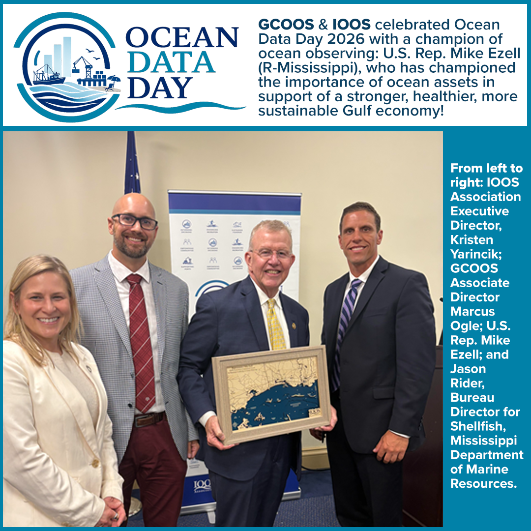
We celebrated the second Ocean Data Day with IOOS on Capitol hill in June. This year’s theme — Coastal Data for a Strong Economy — focused on the essential role ocean, coastal, and Great Lakes data play in supporting industries, communities, public safety, and the nation’s ocean economy. As part of this year’s recognition, we honored U.S. Representatives Mike Ezell (R-Mississippi) and Suzanne Bonamici (D-Oregon) with the IOOS Association Congressional Award for Bipartisan Leadership in Ocean Observing. Their leadership and support — including introducing bills to reauthorize the Congressional Act that created the IOOS system — have advanced ocean observing and the delivery of critical ocean, coastal, and Great Lakes data that support public safety, coastal resilience, and the nation’s blue economy.
We continue to advocate for legislative support at the national level and are encouraged by our interactions with the Gulf’s Congressional representatives, who have expressed support for the work we do.
We also need your help to continue to advocate for IOOS across the nation in the Gulf. We are seeking examples of GCOOS data put into real-world application by Gulf users. Have you used the data portal to answer an important scientific question, support a healthier or more resilient community or even made a more accurate forecast or prediction related to the Gulf? Please tell us how you’re using GCOOS data and how having accessible data supports your community. Please email bullet points and/or quotes to Grant Craig Project Manager at Grant.Craig@GCOOS.org.
In the meantime, we'll be keeping an eye on the tropics for hurricane activity. Right now, we're tracking three Slocum gliders in the Gulf and two Seagliders off San Juan on our piloting dashboard, GANDALF. Be sure to bookmark the link so you can check out the latest data.
Until next month,
| | Happy 50th Anniversary NMEA! | | |
GCOOS was pleased to join the 50th Anniversary celebration of the National Marine Educators Association during their recent annual meeting in Cambridge, Maryland. Held along the beautiful Eastern Shore of Chesapeake Bay, participants from around the globe gathered to address challenges and successes in marine education. The conference, "Meeting of the Waters," included plenaries and concurrent sessions that highlighted the organization’s mission of “making known the world of water.”
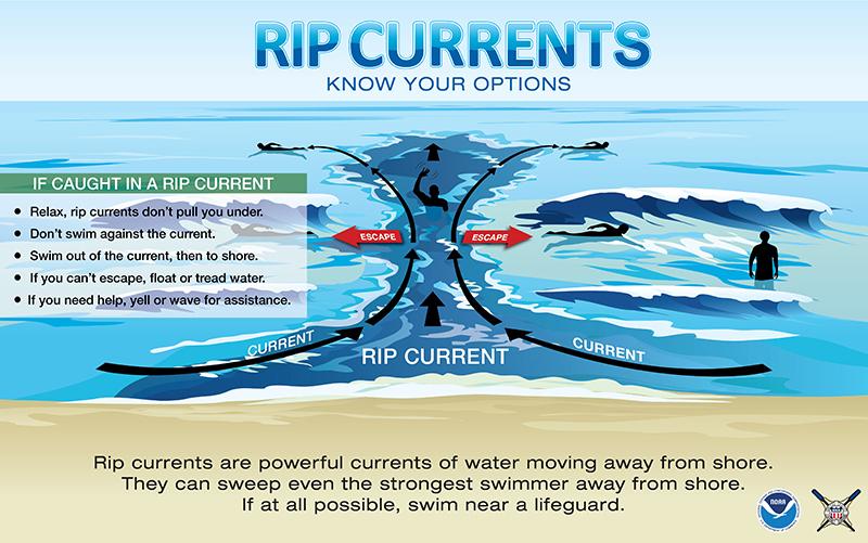
GCOOS Outreach and Education Manager Dr. Chris Simoniello teamed up with long-time Outreach and Education Council member Carol Lutken and her husband, Tom, who are serving as liaisons to the Girls Scouts of America and Scouting USA, respectively, on a project to raise awareness about rip currents.
The presentation “Don’t Get Ripped: Teaching Scouts to Spot Danger at the Beach” was co-presented with Girl Scouts of Southern Alabama partners Karlyn Edmonds, CEO, and Allison Marlow, Senior Programs Specialist.
The work is being conducted with funds from the Inflation Reduction Act to GCOOS that are enabling new observations from Alabama to the Florida panhandle to inform NOAA marine forecasts and better predict dangerous rip currents.
More than 150 fatalities have been attributed to rip currents along the Gulf Coast over the past 30 years, more than the combined number of deaths from floods, tornadoes, tropical storms and lightning. The team’s work developing scout merit badges for rip current safety is a call to arms to empower people to recognize a dangerous situation, avoid becoming victims and serve as a conduit to educate and warn others.
| | Register Now for GCAN Webinar | | |
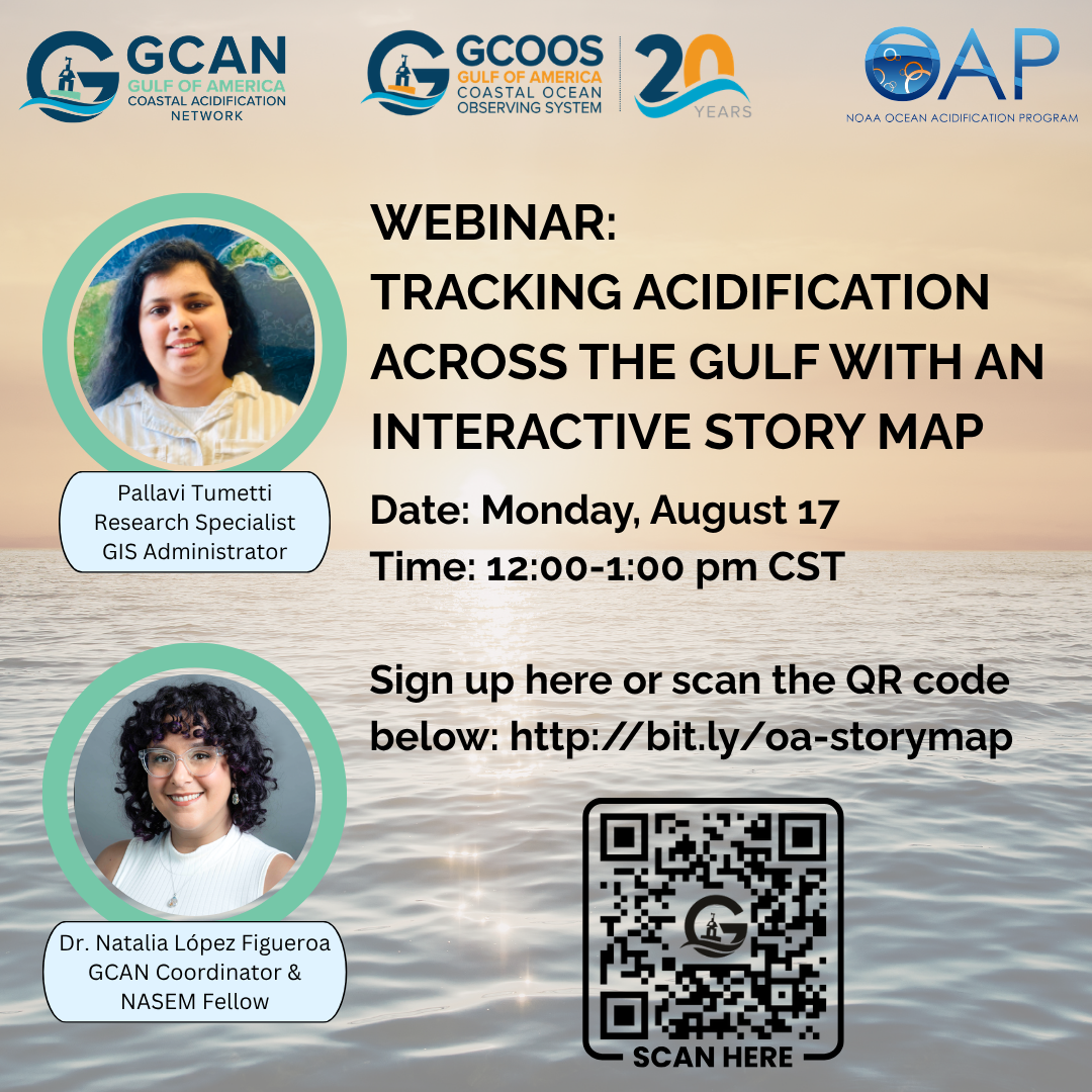
The Gulf of America is a natural laboratory for understanding how ocean and coastal systems respond to multiple stressors. Among the most pressing challenges are ocean and coastal acidification (OA/COA), which are transforming the chemistry of Gulf waters and threatening the health of corals, shellfish, and other marine life that sustain the region’s fisheries, biodiversity, and economies. Understanding and responding to these changes is critical — not only for maintaining ecosystem resilience but also for protecting the coastal communities and cultures that depend on the Gulf’s living resources.
The next GCAN Webinar will highlight the development of a new interactive StoryMap that illustrates how researchers are monitoring ocean and coastal acidification across the Gulf. GCOOS GIS Administrator and Developer Pallavi Tummeti will provide an overview of the StoryMap, including the data, research projects, and regional partnerships featured in this interactive resource. Dr. Natalia López Figueroa and Pallavi Tummeti will facilitate the webinar and guide the discussion.
- When: 1-2 p.m. ET Monday, Aug. 17
- Register here
| |
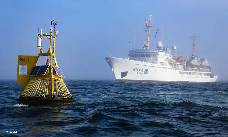
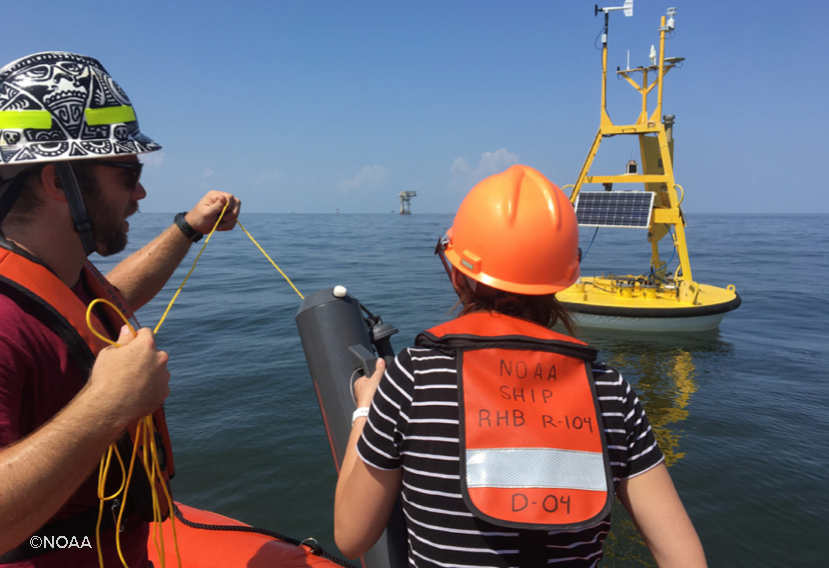
OAP Research Cruises Set Sail | NOAA’s Ocean Acidification Program (OAP) has launched East Coast and West Coast research missions at sea to track how changing ocean chemistry is affecting marine life. OAP’s East Coast (ECOA-4) and West Coast (WCOA 2026) Ocean Acidification research cruises will collect high-quality information to serve as vital benchmarks for research, monitoring, and modeling in each region. The data will couple ocean chemistry, biology, and physics so researchers may better understand how ocean acidification impacts marine life. Such coastwide cruises take place every four years or so. This year’s cruises are particularly focused on tracking potential El Niño effects. | NOAA Ship Ronald H. Brown during the 2021 West Coast Ocean Acidification research cruise with a NOAA mooring measuring ocean chemistry in the foreground. | |
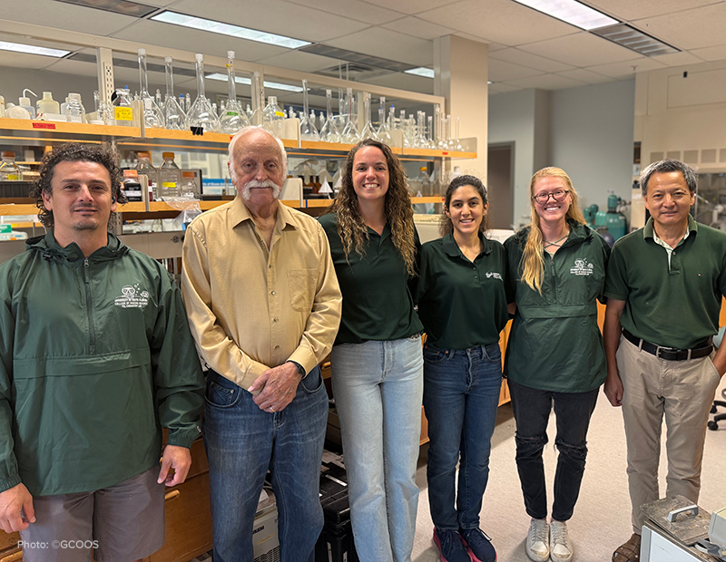
The fourth East Coast Ocean Acidification Cruise (ECOA-4) is conducting a 50-day survey from Florida to Canadian waters, while the West Coast Ocean Acidification Cruise (WCOA) 2026 is sampling the West Coast from California to Washington. The Gulf Coastal Acidification Network (GCAN) will contribute to the WCOA 2026 expedition through the participation of researchers from the University of South Florida Marine Carbonate Chemistry Laboratory, led by GCAN member and Distinguished University Professor Dr. Robert Byrne.
GCAN is also proud to highlight the participation of Florida GCAN Fellow Macarena Martín Mayor, who will support ocean carbonate chemistry measurements during the expedition. Her involvement brings GCAN representation to this coastwide research effort and creates an important opportunity for knowledge exchange between the Gulf and West Coast ocean acidification communities.
Although these cruises focus on the Atlantic and Pacific coasts, they reinforce the importance of maintaining comparable observations in the Gulf region. The Gulf and Ocean Monitoring of Ecosystems and Carbon Cruise (GOMECC), serves this role by repeatedly surveying the carbon system of the Gulf and documenting natural and human-driven changes in ocean chemistry.For GCAN, these coastwide efforts demonstrate the value of sustained observations, regional research partnerships, workforce development, and communication across coastal acidification networks. GCAN helps connect Gulf scientists, resource managers, educators, industry representatives, and coastal communities so that information collected through programs such as GOMECC can inform research priorities, management decisions, and strategies supporting resilient Gulf ecosystems and economies.
| | Community Workshop: Louisiana’s Changing Coast | |
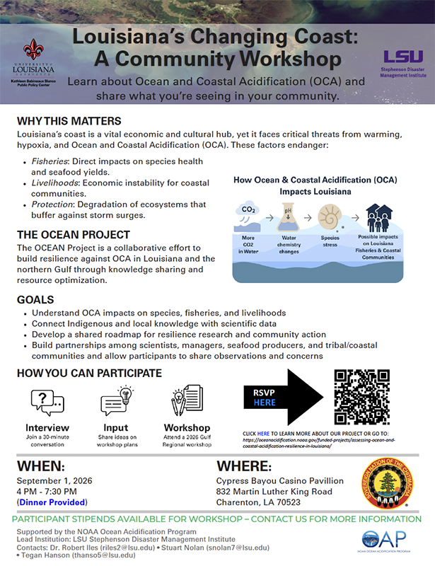
NOAA’s Ocean Acidification Program (OAP) along with Louisiana State University and the University of Louisiana at Lafayette are sponsoring a community workshop as part of the OCEAN Project, which is building resilience against ocean and coastal acidification in Louisiana and the northern Gulf.
- When: 4-7:30 p.m. CT Sept. 1 (dinner provided)
- Where: Cypress Bayou Casino Pavillion, 832 Martin Luther King Road, Charenton, LA 70523
-
RSVP here
-
Click here to learn more about the project
| | Water Quality Monitoring Portal Updates | |
In addition to collecting and disseminating oceanographic and atmospheric data, GCOOS also hosts data on ocean chemistry because it influences the health of the marine environment that supports marine life and hydrodynamics. The GCOOS Water Quality Monitoring in the Gulf data portal (https://wq.gcoos.org/) hosts data from two projects and has recently been updated. We will also be adding links to other ancillary GCOOS projects that are designed to measure or monitor water quality in the Gulf. For more information or inquiries, please contact GCOOS at Info@GCOOS.org.
Project data on the GCOOS Water Quality Monitoring Portal:
-
U.S. EPA supported Nutrient Sensor Pilot studies led by the University of Louisiana-Lafayette. Data is contributed by several Gulf-based institutes including Mote Marine Laboratory and Aquarium, Sanibel-Captiva Conservation Foundation, University of Louisianan at Lafayette, Grand Bay National Estuarine Research Reserve, Louisianna Universities Marine Consortium, Texas A&M University, and Mission-Aransas NERR/University of Texas Marine Science Institute. The Application Programming Interfaces (API) were recently added to facilitate data extraction (https://wq.gcoos.org/api/).
-
Hypoxia and nutrient datasets were gathered by the Minerals Management Services from 1922 to 2014. MMS was reorganized in 2011 to form three new federal agencies: the Bureau of Ocean Energy Management, the Bureau of Safety and Environmental Enforcement, and the Office of Natural Resources Revenue. The data collected is available in GCOOS ERDDAP data service.
| | Register Today for 2026 IOOS Code Sprint | | |
Registration is now open for the IOOS 2026 DMAC Code Sprint being co-sponsored by GCOOS. During this three-day hackathon style event, teams of developers, academic researchers, and community members will work on projects that address pressing data and information challenges that relate to the IOOS mission to produce, integrate, and communicate high quality ocean, coastal and Great Lakes data that meets the nation’s safety, economic, and stewardship needs.
- When: Nov. 17-19
-
Where: Texas A&M University Mays Business School — City Centre, in Houston, Texas, (click for map) with an option for virtual participation.
-
Topics: As in previous Code Sprint events, the topics are identified by the participants. Have a problem that’s been nagging you? Need some help pushing something over the finish line? Have an idea but need to brainstorm on a solution? Submit your ideas here
-
To review the list of proposed projects, click here
-
Registration: Register here before Nov. 1
-
Hotel: Room block rate is available at The Moran Hotel Reservations must be made before Friday, Oct. 16 using the group code 2611GCOOSR.
-
Click here for more details
- Travel Vouchers: There are a limited number of travel vouchers available to assist with travel and hotel costs made available by the IOOS Program Office for IOOS Regional Association staff, members and partners. Please indicate your need for travel support in the registration form and one of the GCOOS organizers will reach out to you. If travel support is approved, the travel voucher will be paid with check in advance of the event.
| | |
Coastal Hazards/Hurricane Season
| Series Highlights Hurricane Meal Prep | |
So you’ve got all your canned goods and nonperishables ready to go for hurricane season, right? Do you know what to do with them if a storm hits? Mississippi-Alabama Sea Grant’s education team has started a series of cooking demonstrations and videos with tips and tricks for putting meals together following a disaster.
| Sargassum in the Gulf Nearly Doubles Historic Record | |
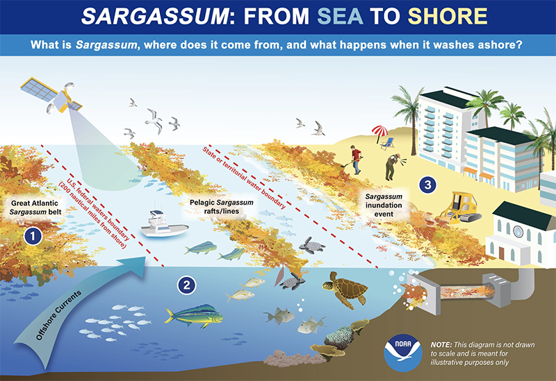
The total Sargassum amount in the Gulf reached 5 million metric tons, which nearly doubled the historical record set in 2025, according to the latest Sargassum Outlook published June 30 by the University of South Florida Optical Oceanography Lab. Severe beaching events have been reported along the southeast coast of Florida.
Total Sargassum amount in all but the East Atlantic region continued to increase in June, while the distribution patterns remained stable. The Caribbean Sea continued to show record-high Sargassum amounts in June and beaching events have continued around the Caribbean and Lesser Antilles islands. The Outlook predicts that beaching events around the Caribbean and southeast coast of Florida will continue and likely increase, with some beaching events possible around Florida’s Panhandle region.
2026 is set to be at least the second largest Sargassum year, as the total amount in June was only 10% lower than the historical record set in 2025.
-
Read more
-
Learn more about the Bulletin here
| | NWS Releases Experimental Beach Safety Forecast | |
The National Weather Service (NWS) has released a new Experimental Beach Forecast designed to provide detailed, localized marine and coastal hazard outlooks to help keep beachgoers safe. It features color-coded rip current risks (Low, Moderate, High), and also includes surf heights, water temperatures and thunderstorm, waterspout and UV index forecasts.
-
Click here to check it out
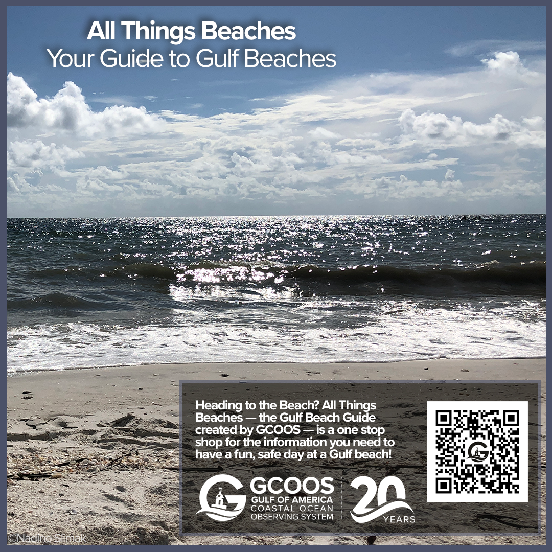
GCOOS also supports a beach safety site designed to keep beachgoers safe. In addition to providing information on things like amenities at beaches, it also includes information on nutrient pollution and other water quality parameters.
-
Click here to check it out now
| | NWS Developing Automated Translations | | |
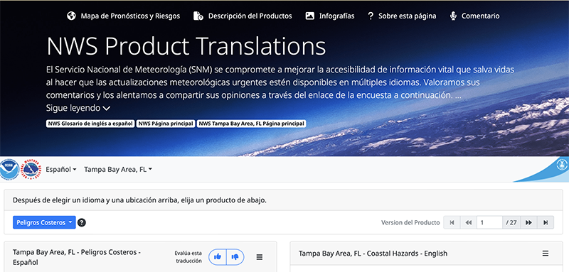
The National Weather Service (NWS) is developing an automated systematic translation program to better serve the 68.8 million people in the United States who do not speak English at home. The NWS has partnered with LILT, whose patented training process enables large language models (LLMs) to adapt neural machine translation (NMT) tools for weather terminology and messaging. The work has culminated in a website featuring experimental multilingual NWS products, including translated warnings, 7-day forecasts, and educational campaigns, bringing the country one step closer to a national warning system that reaches all Americans.
-
Read more
-
Check out the experimental website here
| | |
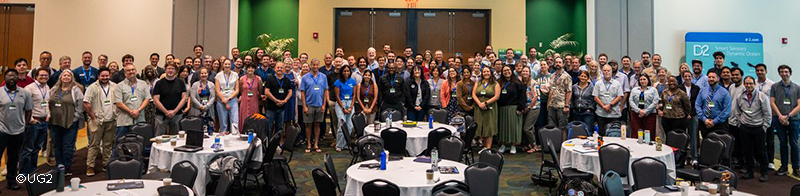
The most recent UG2 webinar focused on highlights from the 2026 Workshop, revisiting some of the workshop's standout presentations, sharing key takeaways and updates, and providing an opportunity for those who couldn't attend to catch up on some of the discussions and research shared by the community.
-
If you missed it, UG2 archives their series on YouTube
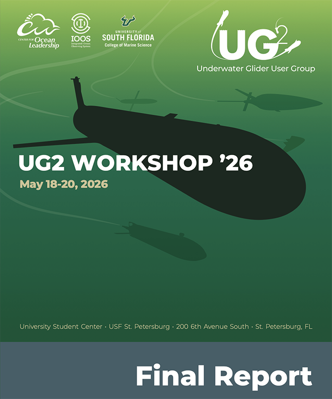
UG2 has also released its final Workshop Report from the 2026 meeting.
-
Click here to read now.
-
You can also view the presentations here
| |
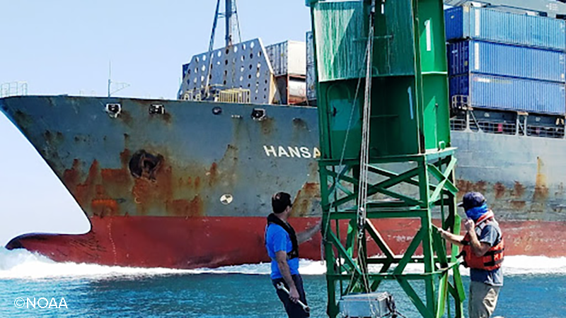
Celebrating 35 Years of PORTS | CO-OPS field team members service a buoy-mounted current meter while a large container ship transits in the background en route to Port Miami. | |
Maneuvering a 1,000-foot-long container ship through a waterway isn’t guesswork. Vessel pilots rely on real-time data to understand changing ocean and weather conditions in order to safely bring a ship into port. For 35 years, NOAA’s Physical Oceanographic Real-Time System (PORTS®) has delivered this critical information to seaports nationwide, helping to keep mariners safe and maritime commerce moving. PORTS was established in 1991, with the first system in Tampa Bay, Florida. Today, the program boasts 41 systems serving more than half of the nation’s top 175 U.S. seaports — including ports in Florida, Alabama, Louisiana and Texas. More than 90% of U.S. cargo imports and exports and more than $1.3 trillion by value transit through the seaports served by NOAA PORTS annually, and PORTS plays an important role in ensuring this happens safely and efficiently. Since its establishment, economists estimate that NOAA PORTS has contributed to a 33% reduction in maritime accidents and a 59% reduction in vessel groundings.
-
Read more
-
Click here for PORTS locations and more
| | Spotter Buoy Gets High Marks | | |
In a third-party field comparison organized by the U.S. Army Corps of Engineers’ Field Research Facility in Duck, North Carolina, Sofar Spotter and four other GPS wave buoys were tested over eight months against a Coastal Data Information Program (CDIP)-operated Datawell MarkIII Directional Waverider, one of the most trusted reference instruments in operational oceanography. The results were recently published in Coastal Engineering Journal (click here to read) by co-authors from Scripps Institution of Oceanography and the University of Washington Applied Physics Lab. They found that Spotter ranked as a top performer across the study with near-benchmark accuracy on significant wave height, the lowest data dropout out of all systems tested, and the best directional spread and mean direction precision.
In the Gulf, Sofar Spotter buoys are already at work with support from GCOOS in the National Marine Sanctuaries Flower Garden Banks, where they’re used to provide information on offshore conditions, and along the Alabama coastline where Dauphin Island Sea Lab (DISL) installed buoy being used to help support rip current forecasts. GCOOS is also supporting installation of a buoy in Pensacola, Florida, by DISL.
| | BOEM: Gulf Lease Sale & Exploring Potential for Offshore Space Launches | |
The Bureau of Ocean Energy Management has announced the Final Notice of Sale for Lease Sale Big Beautiful Gulf 3 (BBG3), the third of 30 Gulf of America lease sales required by the One Big Beautiful Bill Act. The Final Notice of Sale published in the Federal Register on July 8 initiating a 30-day waiting period before the sale. The bureau will livestream the public bid reading Aug. 12 at 9 a.m. CT at www.boem.gov/Sale-BBG3.
The Lease Sale BBG3 is planned for approximately 15,100 unleased blocks, covering roughly 80.4 million acres on the U.S. Outer Continental Shelf in the Gulf. The blocks are located between three and 231 miles offshore and include water depths ranging from 9 feet to more than 11,100 feet.
BOEM has also opened a 30-day public comment period to gather technical, environmental and operational information from industry, researchers and other stakeholders that will help inform potential future activities, interagency coordination, and planning for offshore space launches and recovery. The Request for Information seeks information on operational practices, technical and safety standards, environmental considerations, and best practices for offshore space launch and re-entry facilities. It also seeks insight into emerging domestic and international guidelines or voluntary standards relevant to offshore space launch and re-entry. Feedback will help ensure the Bureau of Ocean Energy Management has a comprehensive understanding of current technologies, practices and research trends in this growing industry.
| | |
Healthy Ecosystems and Living Resources
| | Public Comment Sought: Oil Spill Restoration | | |
Louisiana
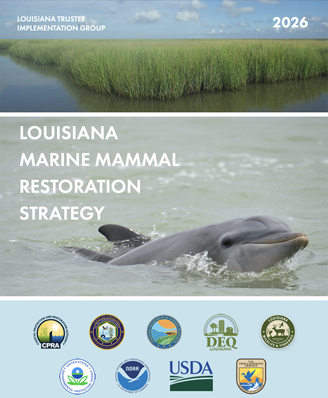
The Louisiana Trustee Implementation Group is seeking public comment on the newly released Louisiana Marine Mammal Restoration Strategy designed to support Deepwater Horizon restoration planning efforts. The strategy lays out a comprehensive, partnership-driven, adaptive framework to address injuries to marine mammals in Louisiana’s coastal and offshore waters, especially bottlenose dolphins, caused by the Deepwater Horizon oil spill. The Louisiana Trustee Implementation Group is requesting public input on how the potential restoration actions and approaches detailed in the strategy should inform future Deepwater Horizon restoration planning efforts.
Texas
The Trustees for the Texas City Y Natural Resource Damage Assessment are seeking public review and input on a series of proposed restoration projects designed to restore resources injured by the 2014 Galveston Bay oil spill.
Funding will come from a $15.3 million settlement with Kirby Inland Marine Limited Partners, which resolved federal and state natural resource damage claims under the Oil Pollution Act.
-
Review the draft plan here
-
Comments should be mailed or emailed to Heather Biggs, Texas Coastal and Central Plains ESFO, 17629 El Camino Real, Suite 211, Houston, TX 77058, or TexasCityYNRDAR@fws.gov before Aug. 1, 2026
-
Read more here
| | NOAA Announces New Seafood Sector Priorities | |
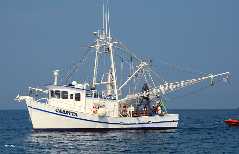
NOAA has announced regional priorities to “revitalize the U.S. seafood sector” focused on reducing burdens on domestic fishing, increasing production, improving access, and enhancing economic profitability. In the Gulf region, NOAA’s priorities are to “defend the domestic shrimp fleet from trade imbalances and optimize Individual Fishing Quota accessibility” by refining Individual Fishing Quota (IFQ) participation requirements and prioritizing rulemaking to extend provisions of the DESCEND Act.
| | Gulf Fisheries Management Review | | |
The Gulf Council is seeking proposals for a project to evaluate the species currently managed under Gulf Fishery Management Plans (FMPs) to assess their need for conservation and management and identify whether each species should:
- Remain in FMPs under full federal management measures
- Be removed from FMPs and no longer be subject to federal management measures, or
- Be designated as ecosystem component species where full federal management measures are not necessary.
-
The proposal submission deadline is Aug. 10. Click here for details.
| | |
Integrated Ocean Observing System (IOOS)
IOOS Advisory Committee Meeting
| | |
Gulf Research Program (GRP)
GRP Leads New Initiative
| | |
With support from the National Academies' Gulf Research Program, the Natural Hazards Center is leading the Next Generation Oil Spill Researchers initiative — a community of practice readying Gulf-based researchers and community collaborators before the next disaster happens. The community includes webinars, networking opportunities and curated resources and reading lists to help support interdisciplinary work in oil-spill response.
| | |
Texas Sea Grant, the Mississippi-Alabama Sea Grant Consortium and Florida Sea Grant are seeking input for their next strategic plans:
| | |
The Water Institute (TWI)
Expanding Community Resilience
| | |
The Community Resilience Center at TWI is expanding its Community Resilience Catalyst Program beyond Louisiana to support resilience work with coastal communities across the Gulf Coast. Launched in spring 2025, the Catalyst was designed to rapidly deploy resources for addressing community resilience in often-overlooked communities. Building on the momentum of its initial Louisiana-based effort and generously supported by a significant gift from an anonymous donor, the program is now expanding Gulf-wide to connect local governments and community-based organizations with additional capacity for resilience in coastal communities throughout Texas, Mississippi, Alabama, and Florida.
| | |
-
Texas A&M University - Corpus Christi: Research Specialist I-III
-
University of Southern Mississippi: Visiting Instructor or Assistant Teaching Professor
-
Hello.gov: Sr. Cloud and Data Engineer
- Mote Marine Laboratory
-
CODAR Ocean Sensors seeks to fill an algorithm and software engineering role.
Postdoctoral Positions:
-
Sustainable Marine Solutions: postdoctoral researcher to play a leading role in a five-year project, "Cooperative Research and Management for Fish Spawning Aggregations in the Gulf of America
- Knauss Marine Policy Fellowship
- Marine Research Scientist / Postdoctoral Scientist
-
Monterey Bay Aquarium Research Institute: Postdoctoral Fellowship
-
National Research Council: Research Associateship Programs Postdoctoral and Senior Research Awards
-
Mississippi State University: Postdoctoral Associate
-
Downeast Institute: Research Scientist
Fellowships:
- ARL Distinguished Postdoctoral Fellowships
-
National Academies of Science, Engineering and Mathematics: Early Career Fellowships
- Department of Defense: Visualization of Coastal Data, Coastal Vulnerability Assessment Fellow
| |
-
Gulf of America Alliance: Biodiversity Net Positive Impact
-
2026 US HAB CTI: Funding Opportunity
-
National Oceanic and Atmospheric Administration: Ernest F. Hollings Undergraduate Scholar
-
National Academies of Sciences, Engineering and Medicine, Gulf Research Program: Empowering K-8 Through Place Based Education
-
Gulf of Mexico Alliance: Increasing Participation in Clean and Resiient Marine Programs
-
The National Academies of Sciences, Engineering, and Medicine: Early Career Research Fellowship
-
National Oceanic and Atmospheric Sciences: Prevention, Control, and Mitigation of Harmful Algal Blooms
-
BOEM: Environmental Studies Planning
| | GCOOS Fall Meeting (date TBD) | | 7-11: AGU 2026, San Francisco, California | | Dr. Jorge Brenner, Executive Director • Marcus Ogle, Associate Director • Dr. Uchenna Nwankwo, Oceanographer • Dr. Chris Simoniello, Outreach & Education Manager • Dr. Natalia López Figueroa, GCAN Coordinator and GCOOS 2025-26 Gulf Science Policy Fellow with the National Academies of Sciences, Engineering and Medicine • Felimon Gayanilo, Systems Architect, Co-Data Manager • Bob Currier, Product Developer, Co-Data Manager • Pallavi Tummeti, GIS Administrator and Developer • Tuomo Saari, Scientific Computing Specialist • Xiao Qi, Scientific Computing Specialist • Megan Howson, Marine Mammal Biologist and Data Scientist • Sandeep Jilla, Software Developer • Grant Craig, Project Manager and HABscope Volunteer Coordinator • Nadine Slimak, Public Relations & Content Marketing, Vetted Communications, LLC • Laura Caldwell, Program Assistant | | | | |