Fall 2026 Newsletter

Welcome back, GeoTerps!


There is always something special about the beginning of a new academic year. Our undergraduate students return to campus from their summer adventures, bringing wonderful energy with them. We are very excited to welcome a new cohort of Ph.D. students: an amazingly talented and brave group of young scientists who have chosen to come to GEOG to learn, explore and ultimately figure out how to make the world a better place.


We also begin the year with much to celebrate. My most enthusiastic congratulations go to Leila De Floriani, who was appointed Distinguished University Professor this fall, an extraordinary and very well-deserved recognition of her contributions to geographic information science and computer science.


GEOG finished last year exceptionally strong, too. Even in an incredibly difficult funding environment, we ranked third among academic units at UMD in external research funding. Our department was also ranked #2 in the United States in remote sensing by the Shanghai Rankings. In addition, we hosted the 2026 UCGIS Symposium here at UMD—many congratulations and thanks go to Kathleen Stewart for making that happen. These are just a few examples of the remarkable things our faculty, staff and students accomplished over the past year.


We begin this year with tremendous momentum and with an extraordinary community of people. I can't wait to see what new heights GEOG will reach this year. Welcome back, everyone!


Tatiana Loboda

Chair and Professor

Headshot of a smiling woman with blonde hair, wearing a pink textured jacket, set against a soft-focus green outdoor background."

Visit the Chair's Blog for timely perspectives and insights.


RESEARCH HIGHLIGHTS


Fossil-Fuel Subsidy Reform Could Reduce Poverty and Emissions


Read more

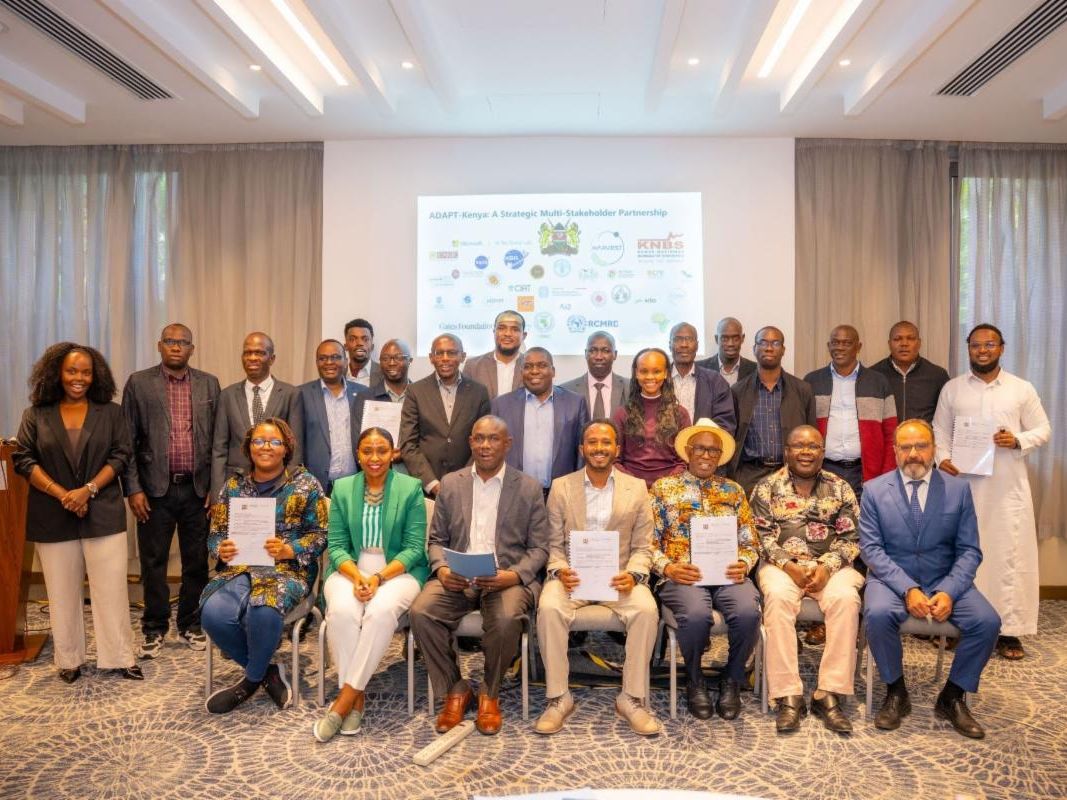
Helping Kenya Create its Own Agricultural Data Infrastructure


Read more

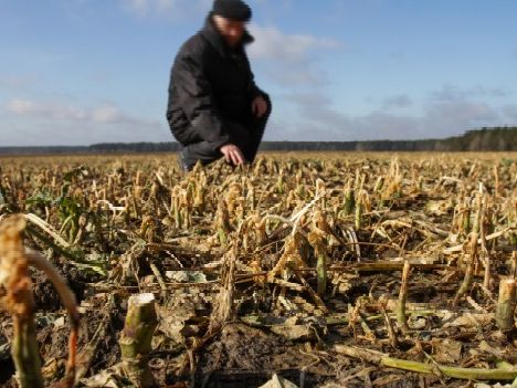
A close-up view of a harvested, dry agricultural field with crop stubble, with a blurry background showing a farmer in a black jacket and cap crouching down to inspect the soil under a partly cloudy sky.

AI Can Help Predict Food Crises, but Experts Advise Caution


Read more

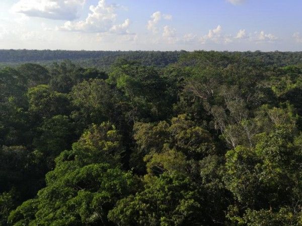
An elevated, panoramic view looking across a dense, lush green rainforest canopy stretching out toward a distant horizon under a soft blue sky with scattered white cumulus clouds.

Climate Has Unequal Impacts on Different Tropical Forests


Read more

Study Challenges One-Size-Fits-All Policies for Illegal Wildlife Trade


Read more

A map of the United States showing the geographic distribution of maize and soybean crops, primarily concentrated in the Midwest and along the Mississippi River.

Satellites Overlook Widespread Carbon Accumulation in Mature Forests


Read more

A close-up, medium shot of a small, fuzzy brown, bamboo lemur with large, copper-colored eyes. The lemur is clinging to a thick, textured tree branch with its dark, five-fingered hands, looking slightly to the right with a curious expression. The background is a soft-focus lush green foliage dappled with sunlight.

Study Calls for Legal Protection Around Indigenous Lands


Read more

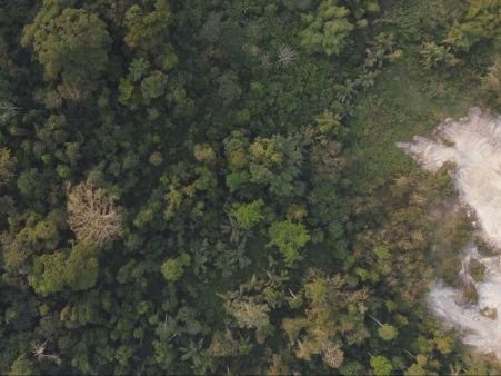
Aerial view of a dense green tropical forest adjacent to a cleared, light-gray patch of deforested or eroded land.

New Database Improves Carbon Accounting for Tropical Forests


Read more

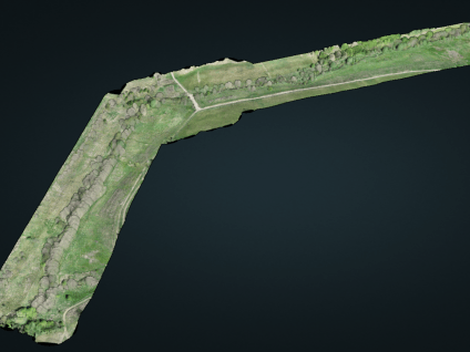
A 3D point cloud rendering of a long, angled section of land against a solid dark gray background, generated from a drone survey. The rendering displays realistic RGB color values, showing a lush green landscape featuring a distinct line of trees, grassy fields, and intersecting dirt paths or trails running alongside a stream corridor.

Decade of Drone Lidar Data in Virginia Publicly Available


Read more

DEPARTMENT NEWS


New Master’s Program Connects AI, Geography and Healthcare


The MPS in Geospatial Artificial Intelligence and Healthcare prepares students to use advanced analytics to improve health outcomes and equity. Read more

STUDENT HIGHLIGHTS

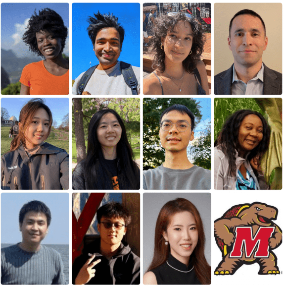
Introducing Our New Ph.D. Students

Return to UMD: Building Community and a Career


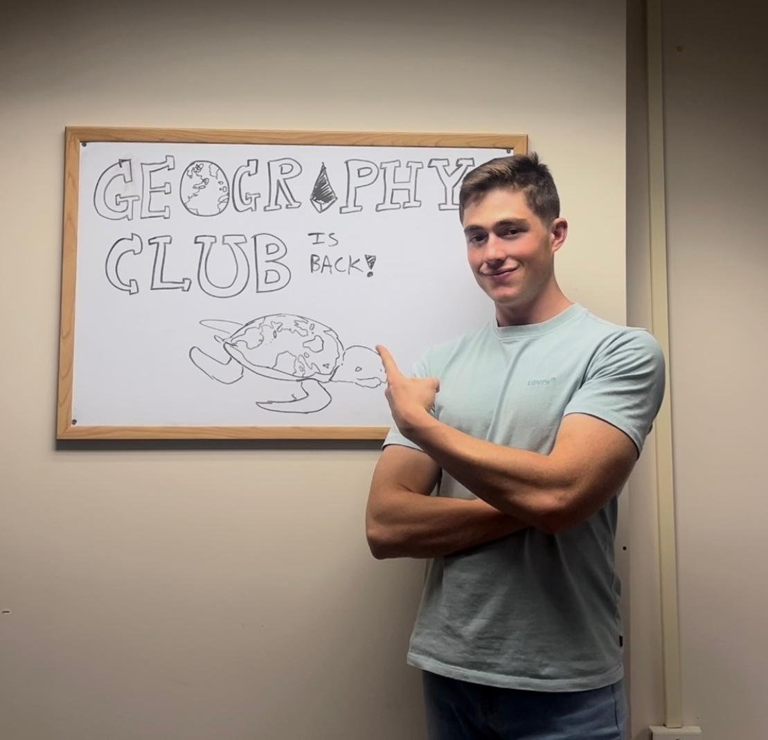
After reviving the Geography Club as an undergraduate, Joseph Massaro, ENSP-Land Use & GIS ’24, returned to UMD for a master’s in geospatial intelligence while undergoing treatment for lymphoma.


Read more

A young man in a light blue t-shirt stands next to a whiteboard framed on a plain wall. He has short brown hair, crossed arms, and points back over his shoulder toward the board with a slight smile. On the whiteboard, drawn in black marker, block letters spell out "GEOGRAPHY CLUB IS BACK!" with a globe integrated into the letter 'O' and an illustration of a sea turtle below the text whose shell resembles a world map.


More News


PROFILES SHOWCASE

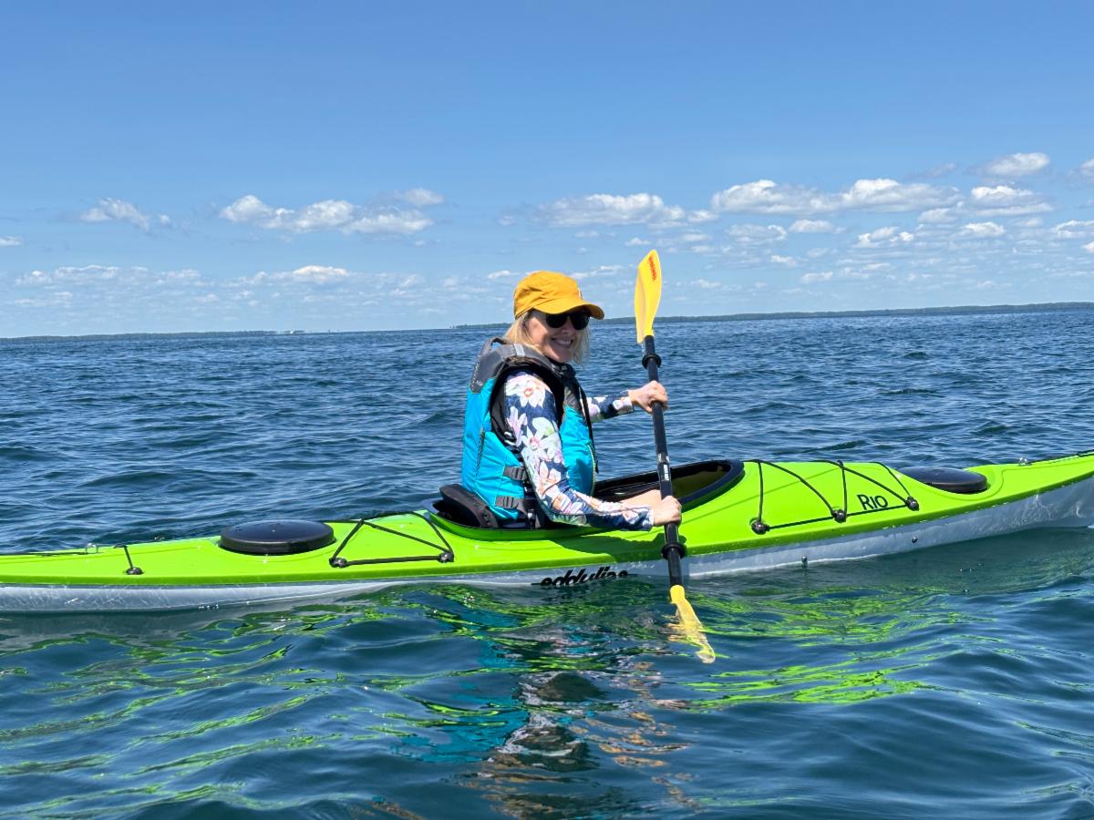
A person smiling while paddling a bright lime green kayak on calm, open blue water under a clear sunny sky.

How Professor Kathleen Stewart Became a Geographical Scientist


When Stewart was in high school just outside of Ottawa, Canada she already knew what she wanted to study in college.


Read more

Close-up selfie of a smiling man with round glasses, a full graying beard, and a dark shirt on the outdoor deck of a boat. In the background, other passengers sit in chairs looking out toward a riverfront city skyline with buildings and a lush, tree-lined hill under a partly cloudy sky.

Quick Chat With David Minor


Minor has worked at GEDI since 2017 and has served as chair of the Faculty Specialist Committee for the past year.


Read the Q&A


NEW MAP ALERT

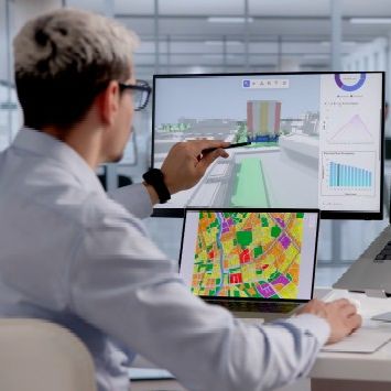
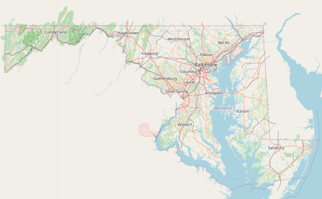
Your Maryland: This interactive map allows users to zoom out for a global view or zoom in to explore individual buildings. Users can also switch between four map layers: My OSM, OpenStreetMap, Satellite and Hybrid.


By Xin Tao, GEOG Lecturer

EVENTS

Oct. 1: Information Session: Master of Science and Graduate Certificate in Geospatial Intelligence at noon EDT via Zoom

Oct. 5: Information Session: Master of Science in GIS and Graduate Certificate in GIS or Remote Sensing at noon EDT via Zoom

Oct. 15: Seminar: Dissertation Proposal Defense Procedures at 3:30 p.m. via Zoom

Oct. 16: Department Committee Meeting at 10 a.m. River Road 325 and on Zoom. See the Department Calendar

Oct. 22: Esri Young Professionals Network at 5:30-7:30 p.m. in River Road 325

Oct. 28: UMD Environmental & GIS Career Fair from 10 a.m. to noon in Stamp Atrium

FIELD SNAPSHOT

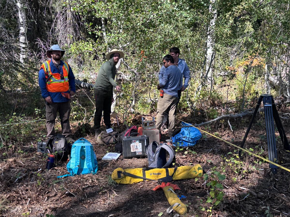
A field research team of four people gathered in a sunny, wooded clearing surrounded by aspen trees. On the left, a man wearing a high-visibility orange safety vest, a sun hat, and a backpack stands looking toward the camera. Next to him, another person in a wide-brimmed hat points toward something in the brush. To the right, two individuals stand near field equipment, including a tripod, measuring tape stretching across the ground, and various gear bags, backpacks, and hard cases labeled with Trimble and GEO logos on the forest floor.

GEDI Fieldwork | Sierra Nevada | Sept. 9-20, Shaver Lake, California


A GEDI team collected terrestrial LiDAR data from plots in an area recently surveyed by Land, Vegetation and Ice Sensor (LVIS), with historical measurements from various sensors and research institutions. The USGS also recently measured the plots following a major fire. These field measurements provide essential ground-truth data for validating and calibrating GEDI and other remote sensing data. Photo courtesy of Professor Ralph Dubayah


View this email as a webpage