NASA Harvest's Monthly News | | |
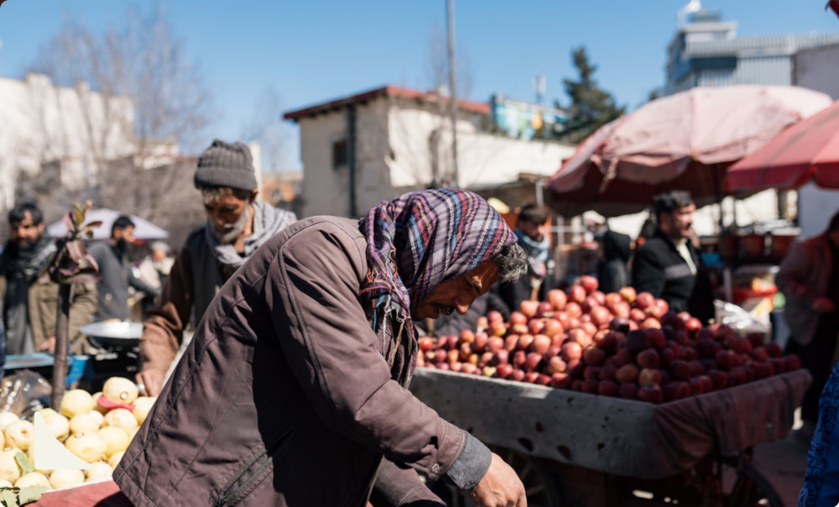
A new Devex story examines how humanitarian organizations are using geospatial artificial intelligence to identify food-system risks and deliver assistance more quickly in places affected by conflict and natural disasters.
The article focuses on three projects funded by Taylor Geospatial through its Geospatial Innovation for Food Security Challenge. The projects are developing practical, open-source tools for humanitarian response, food-security early warning, and agricultural management.
Among them is a project led by researchers at Arizona State University, working with the University of Maryland, Washington University in St. Louis, NASA Harvest, NASA Goddard Space Flight Center, and FEWS NET. The team is combining satellite observations with natural-language tools so analysts can ask questions about changing agricultural conditions and receive maps, estimates, and information about the level of uncertainty.
The ASU-led system is being designed to detect seasonal changes in farming, damage to roads and other infrastructure, and disruptions that may affect crop production, trade, or access to food. By allowing analysts to ask questions in plain language, the project could shorten the time needed to assess conditions during a growing season or active conflict. Testing is planned in Sudan, Ukraine, Syria, and Haiti, with the long-term goal of integrating the open-source tool into existing food-security and humanitarian systems.
| | |
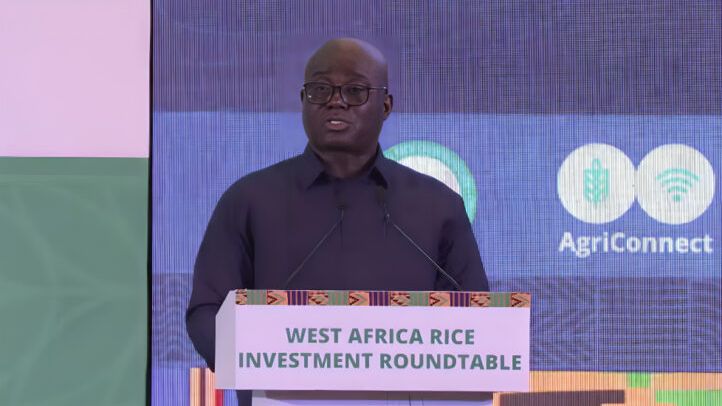
Ghana has announced a major policy shift that will link rice import permits to investments in domestic rice production, reinforcing the country's commitment to strengthening local food systems and reducing reliance on imports. Through its collaboration with WorldCereal, NASA Harvest is providing satellite-based crop mapping and agricultural monitoring that equip policymakers with timely, objective data on rice production and cultivated area.
Together, NASA Harvest and WorldCereal are helping improve agricultural intelligence and support evidence-based policies that strengthen food security, increase domestic production, and build a more resilient rice sector. The announcement highlights the growing role of Earth observation data and international partnerships in shaping agricultural policy and investment.
| | AGU Abstract Submissions Are Still Open Through August 5th! | | |
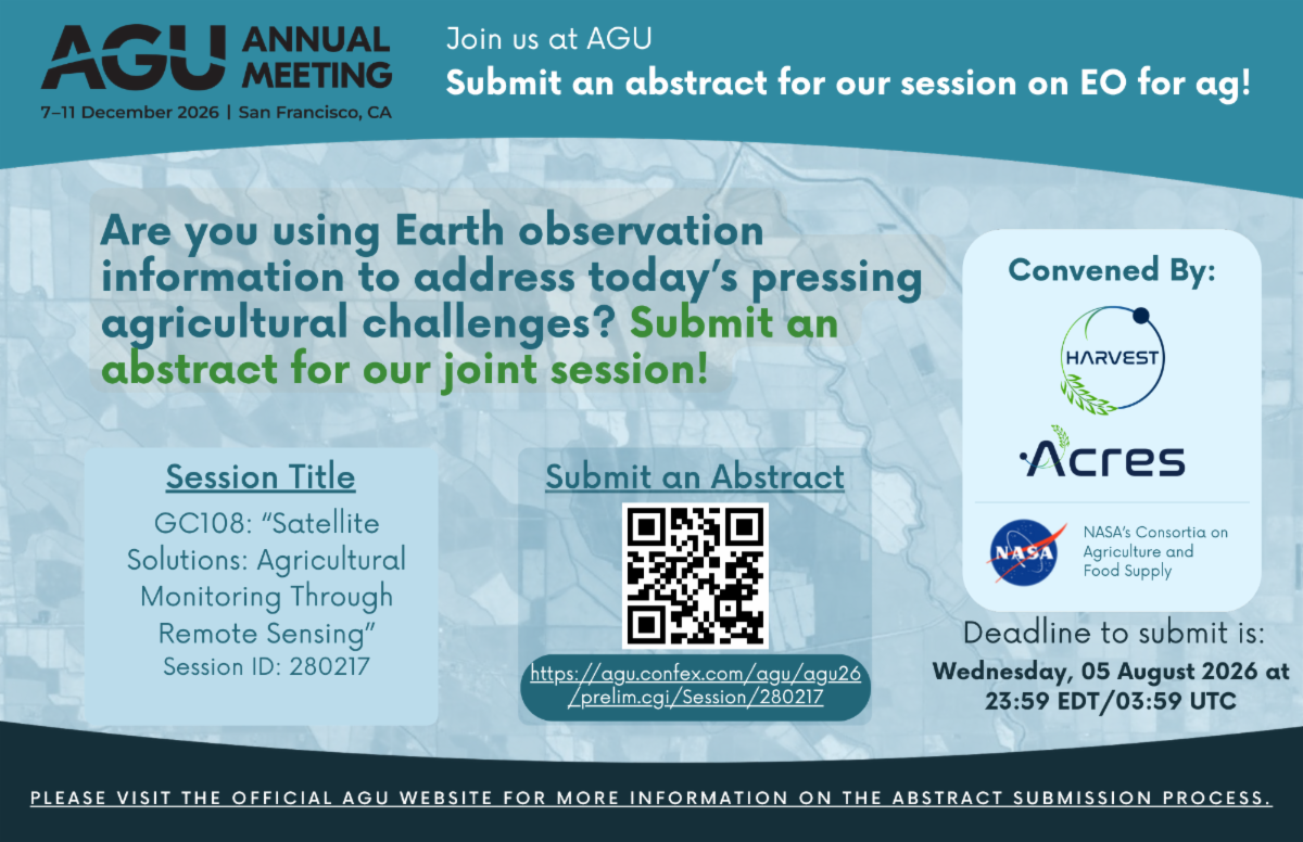
NASA Harvest and our sister consortium, NASA Acres, are co-convening a session at American Geophysical Union 2026 on how satellites and other Earth observation tools are being used to monitor agriculture and food supplies.
The session, Satellite Solutions: Agricultural Monitoring Through Remote Sensing, will bring together work on crop conditions, early warning, field data, higher-resolution sensors, faster data delivery, cloud computing, AI, and other approaches shaping agricultural monitoring in the United States and around the world.
We welcome submissions from researchers, practitioners, and others working across agriculture, food security, and remote sensing.
Learn more and submit an abstract here!
| |
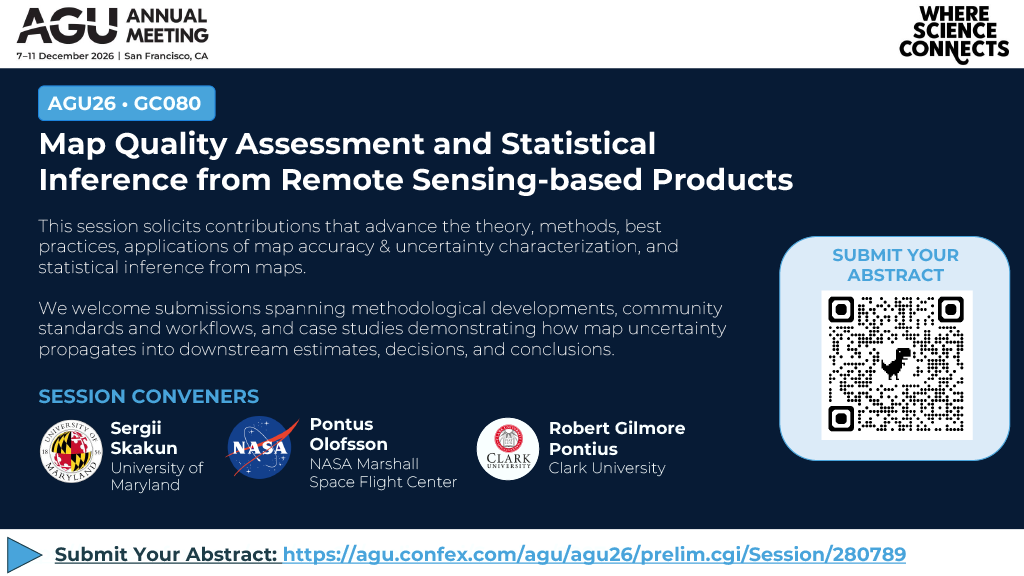
NASA Harvest's Agricultural Statistics Lead Sergii Skakun is co-convening a session at American Geophysical Union 2026 on how researchers assess the accuracy, uncertainty, and statistical reliability of maps created from remote sensing data.
The session, Map Quality Assessment and Statistical Inference from Remote Sensing-based Products, will feature new methods, standards, and case studies addressing map errors, reference data uncertainty, small-area estimation, change detection, and how uncertainty affects downstream estimates and decisions.
Researchers and practitioners working in remote sensing, mapping, statistics, and Earth science are invited to submit abstracts. Learn more here!
| | |
NASA ARSET is offering a free, online training on using NASA Earth observations for reservoir and water utility management. Participants will work with data on precipitation, snow cover, soil moisture, runoff, streamflow, and water levels to monitor reservoir inflows, support water-release decisions, and manage flood risks.
Sessions will be held August 4, 6, and 11, with two time options available each day.
Learn more and register here.
| | | | | |