|
|
In this Newsletter:
- Current Conditions
- Local Events/Trainings
- Day Adventures
- Backcountry Adventures
- Spring Trail Project Schedule
|
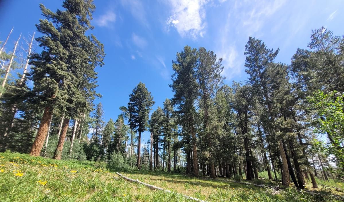
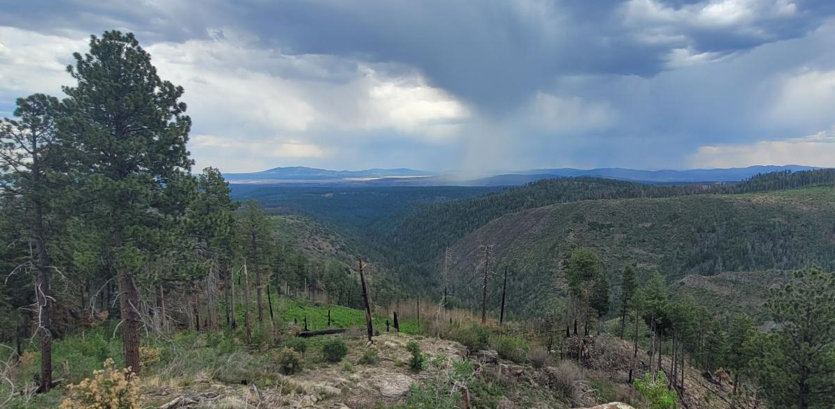
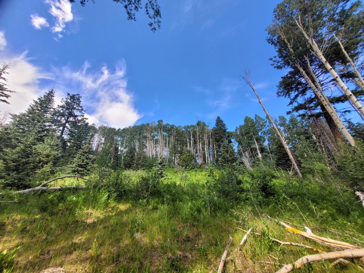
| Photo on the #172 trail - old growth mixed conifer which created a wonderful camping spot next to a spring. - photo taken June 24th 2026. | | More Trail Work in the Aldo | | |
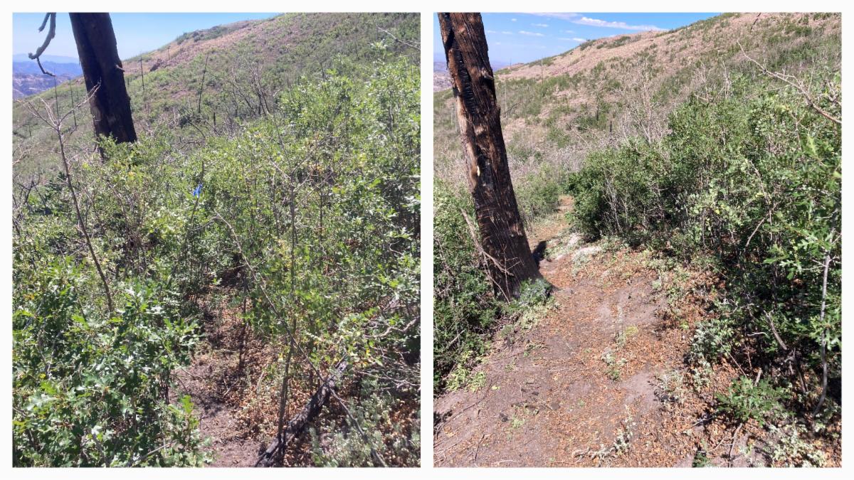
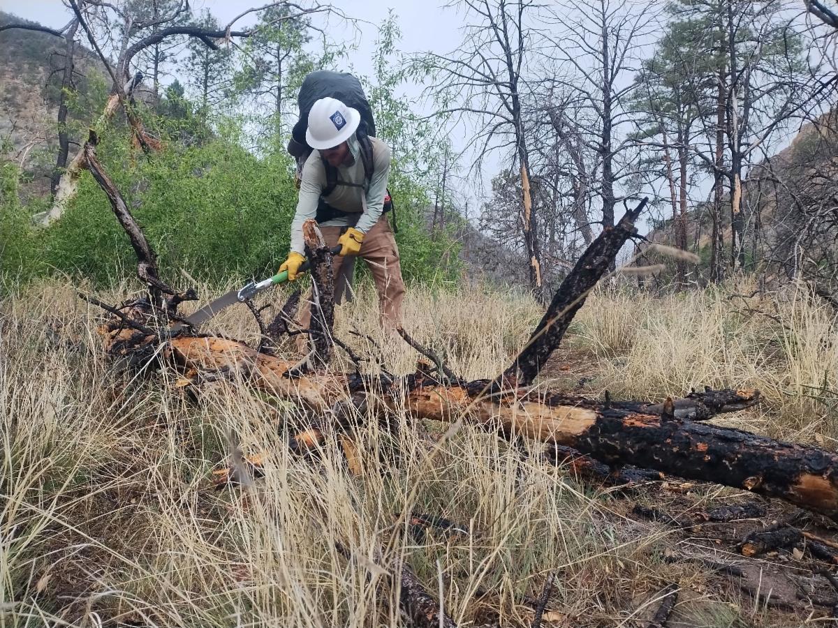
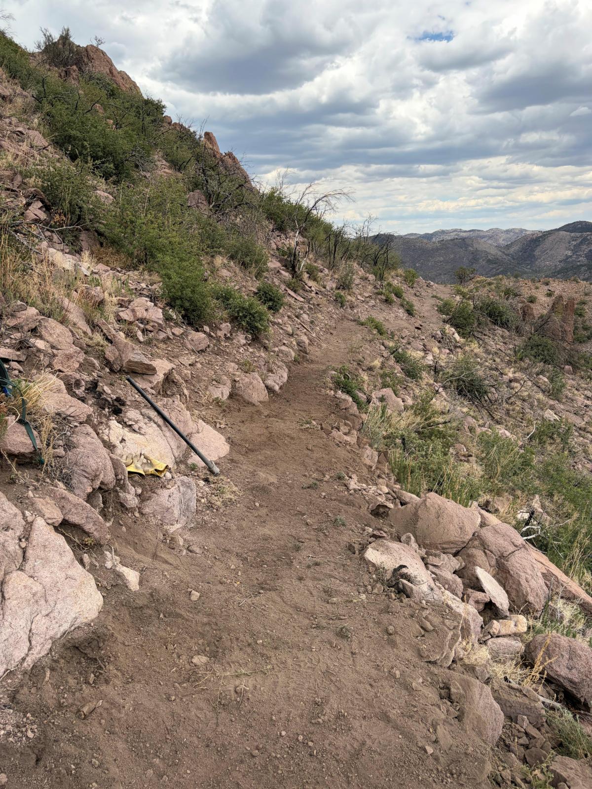
The Natural Curiosity Crew logged and improved the tread on the Rattlesnake Trail #107. They've continued south from Reeds Meadow on FS 74, clearing lots of downed trees since last fall and improving the tread, but they haven't gotten as far as Reeds Peak yet. Soon - sometime this fall! The map link shows the trail all the way to Reed Peak, which will be accurate once they finish clearing the remaining section.
Plus, they logged the Lake Trail #110!
Stay tuned for future work by them and the other crews that are just getting started in the Aldo.
| Photo Credits: Natural Curiosity Crew Members | | | Waterworks - Camping in Silver City | |
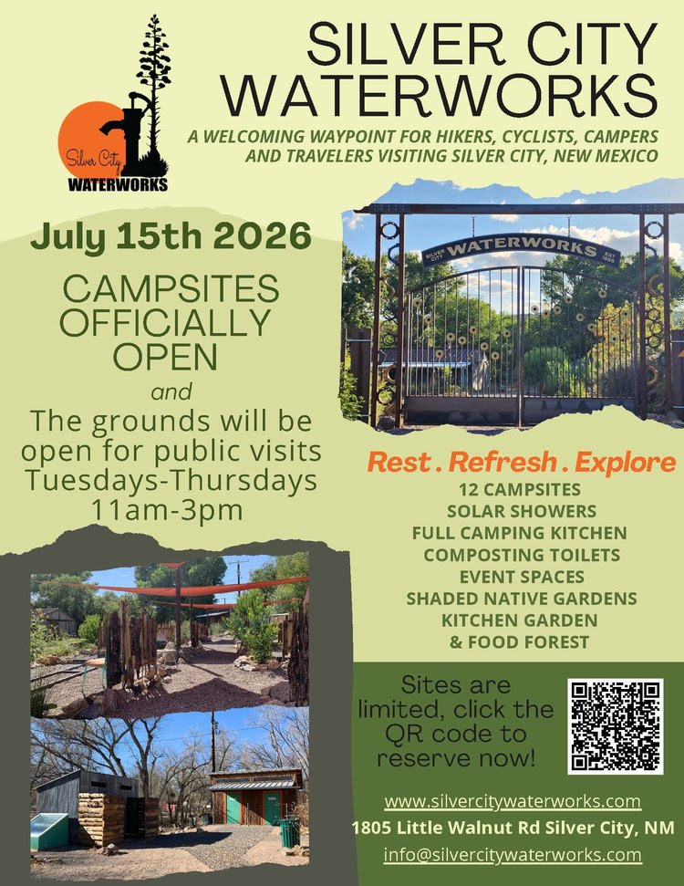
Check out the new camping option in Silver City!
A beautiful setting and close to downtown.
Plus Event Spaces.
| | | |
“El Niño is officially here!
Sea surface temperatures across the equatorial Pacific have remained at least 0.5°C above average for several consecutive months, meeting the criteria for El Niño. There is a 63% chance of a "very strong" El Niño by winter, which could make it one of the strongest events since 1950.
El Niño doesn't have a significant impact on the Southwest monsoon. However, warmer ocean temperatures can help fuel more tropical activity in the eastern Pacific, which can occasionally boost monsoon moisture and rainfall later in the season.
What we'll also be watching closely is El Niño's influence on our upcoming winter. As El Niño strengthens, the odds increase for a wetter winter across New Mexico.”
(Posted 6/11/26) Meteorologist Grant Tosterud
| | | | |
"In June 2026, the Gila River reached its lowest level in 95 years, at just over 2 cubic feet per second (cfs)."
UGWA June Newsletter
Thankfully it has started to go back up with the recent rain.
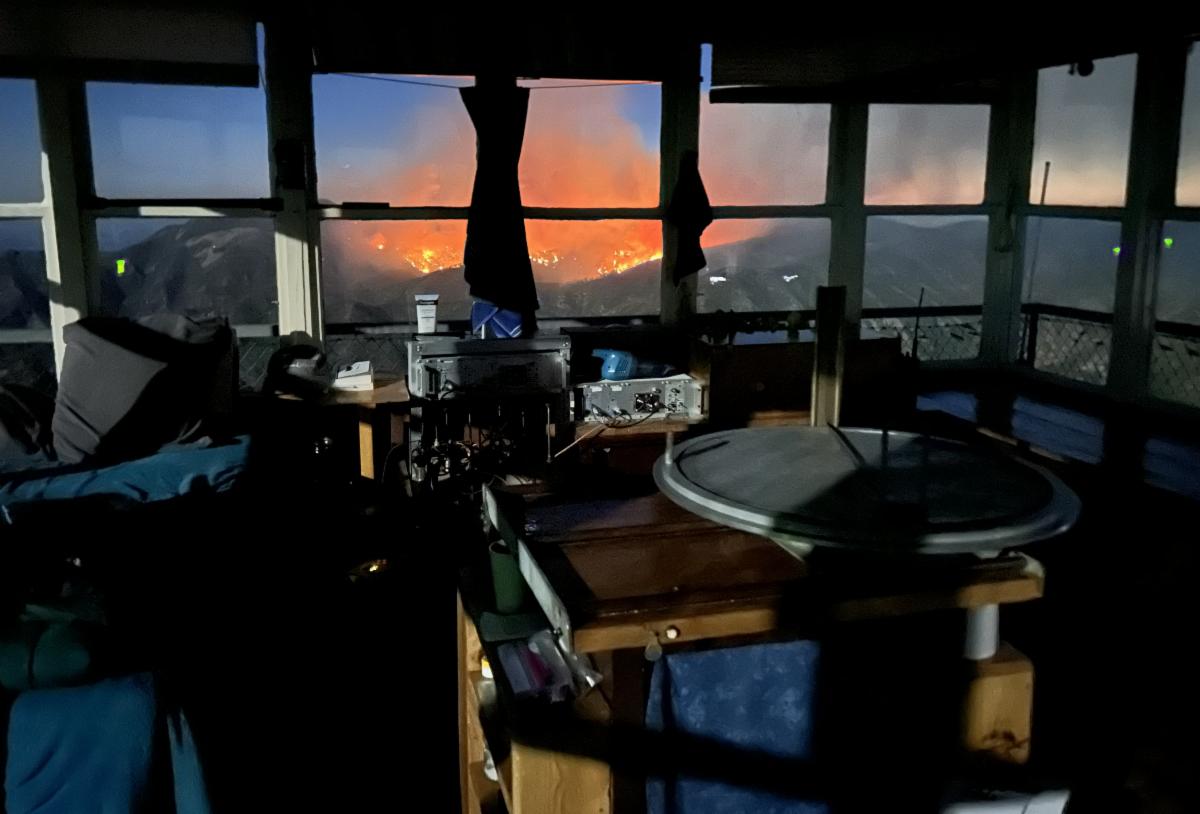
| | Photo: Monsoons in the Gila June 2026 | | Monsoons have started for some places like Silver City, which has received multiple gully washers in the past few weeks. Meanwhile, Gila Hot Springs remains dry. Please remember that monsoon rain is spotty. If there is a running creek in one location, that does not guarantee water in another creek. Check Water Updates | | Sacaton Fire - Benefits and Losses | | Photo Credit: Jane - Mogollon Baldy Lookout. Sacaton Fire | |
| |
Benefits
The Sacaton Fire was ignited by a lightning strike on Sacaton Mountain, an area that had already suffered greatly from the catastrophic fire in 2012. The #180 trail that runs through this region was heavily obstructed by thousands of fallen logs, often stacked multiple trees high. A report from a few years ago described one hiker navigating the trail by stepping from log to log, often several feet off the ground, with the actual trail tread buried beneath the debris. The thought of clearing this remote and difficult-to-reach trail seemed overwhelming. Fortunately, the Sacaton Fire has helped us significantly by clearing many of the logs. In addition, the surrounding forest, which had become impassable due to the fallen trees, has also benefited. Hopefully the burn was not too extreme that it did damage to the tread!
| | |
Losses
The 2012 fire destroyed a significant portion of the mixed conifer and old-growth aspen forests in that area. However, a few resilient stands remained, serving as sources for the regeneration of mixed conifer trees. Three notable areas include:
1. Around Apache Cabin
2. Hummingbird Saddle and the trail extending west from there.
3. The upper part of Iron Creek, which is traversed by Trail #172.
The Sacaton Fire burned the Apache Cabin to the ground, and the mixed conifers that surrounded the cabin probably burned with it.
The upper part of Iron Creek reportedly experienced a hot burn.
The fire map indicates that the Hummingbird Saddle area also experienced burning.
We hope that more was spared than it appears. In the next newsletter, we will have more details regarding the Sacaton Fire's effects.
| | Photo: An old-growth aspen stand along #172 in upper Iron Creek. This photo was taken a few days before the fire raged through here. | |
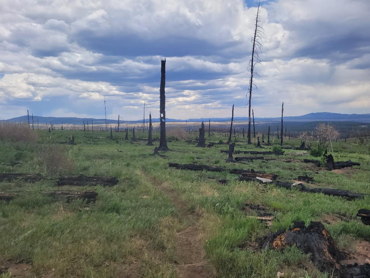
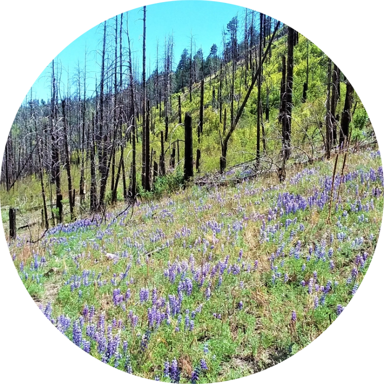
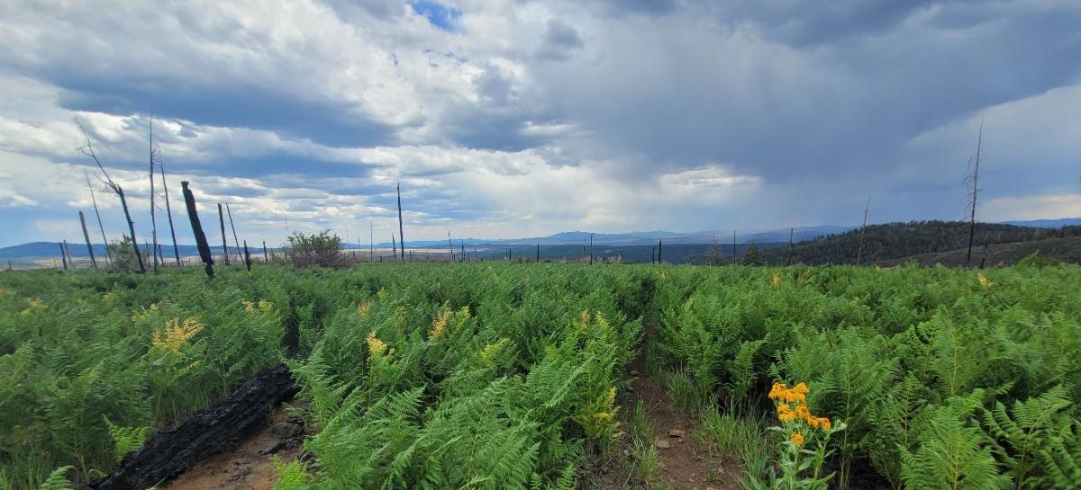
| The 2026 Hummingbird Fire burned roughly 5700 acres. It burned within the 2012 burn scar and cleared many downed trees from the 2012 fire. The only trail it affected was the northern part of the #172 Whitewater Baldy Trail. In areas of higher burn severity along #172, some stands of ponderosa trees were torched. However it also removed the standing dead trees from 2012. It's been roughly 3 months since the Hummingbird Fire swept across the landscape, yet the ferns are already coming back, creating a vibrant green across the treeless areas. | | Post Hummingbird Fire June 2026 - where it burned through a section previously burned in 2012 | | Cooling Vests to beat the Summer Heat | | |
In June, the Grand Canyon reported an uptick of heat-related deaths despite rapid emergency responses.
Read about instances.
While the Gila may not be as intense as the Grand Canyon, heat-related issues can still pose serious risks in this area.
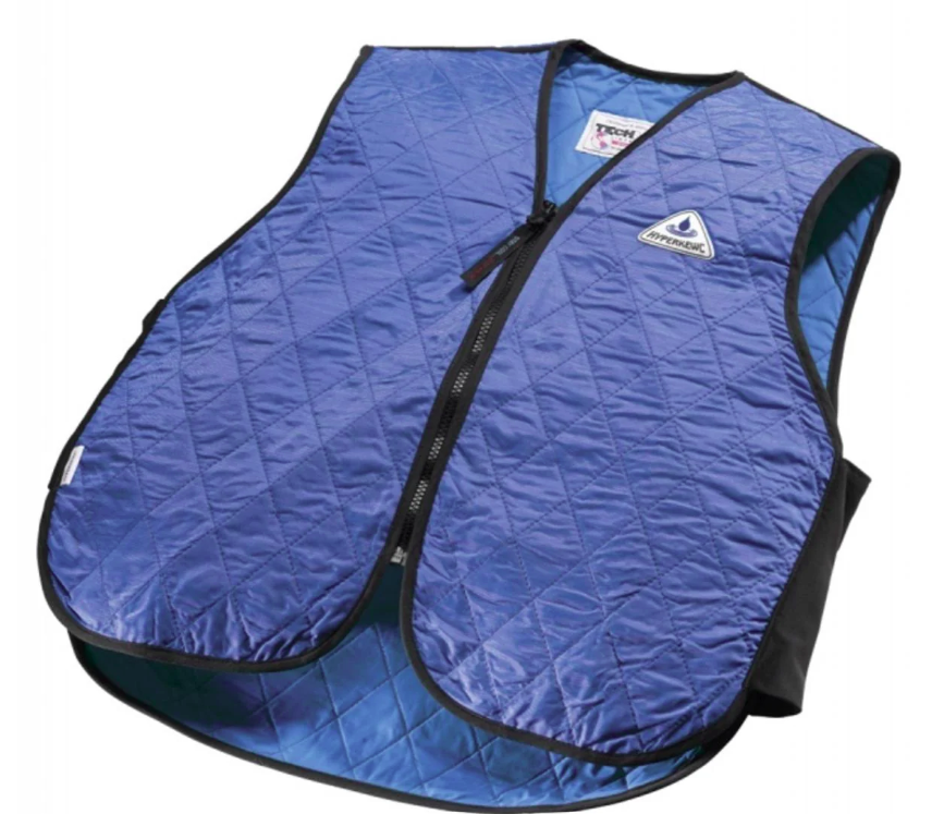
One effective way to prevent heat illness, or worse, is to keep your core body temperature low. Cooling vests can significantly help achieve this.
| | |
To use a cooling vest, soak it in water for 2 to 3 minutes, lightly wring it out, and then wear it. The cooling effect can last for several hours.
HyperKewl is one of the many brands that produces high-quality cooling vests.
| | | "Backpacker Bill" dies at 98 | | |
Long-time New Mexico Resident, Backpacker Bill, "founded Backpacker magazine in 1973 and later co-founded the American Hiking Society in 1976."
What an amazing life dedicated to transforming trails.
| | | Caltopo Fire Layers Explained | | "One map layer is never the whole story when it comes to wildfires. Stack CalTopo's fire layers on the same map to track active fires, follow smoke plumes, and view forecasted winds -- all at once" | | | Tree Mortality Presentation and Discussion | | September 10, 6:30-8:30 pm | | |
WNMU Global Resource Center 805 W. 12th Street, Silver City.
Doors open at 6:30 pm for appetizers and drinks. Program will begin at 7:00 pm. This is a FREE event!
Join Dr. Craig Allen and Victor Lucero to learn about and discuss the increasing mortality of evergreen trees we are seeing throughout the western United States. What are the causes? How can we best manage our forests in light of this information?
Gabe Partido and Javier Kirker, staff members from the Gila National Forest, will be in attendance to answer questions.
This will be available to watch remotely.
This event is sponsored by UGWA and The Nature Conservancy
| | New Mexico Volunteers for the Outdoors (NMVFO) Projects | | |
Gila BCH does not conduct trail projects during the summer months in the Gila due to fire and monsoon season.
However, NMVFO does!
They host multiple trail and restoration projects throughout the summer all over NM. Different locations mean different weather and more opportunities for trail and restoration projects.
This August and into the fall, NMVFO is offering multiple projects around the state. They run a great program, and Gila BCH enjoys partnering with them on trail projects every year in the Gila!
Check them out and explore a new place!
| | | |
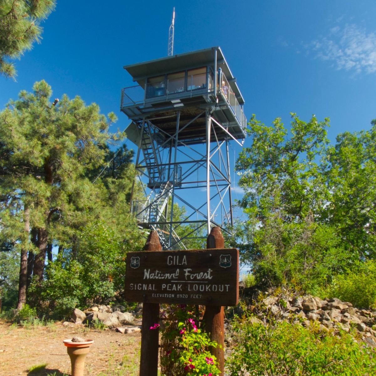
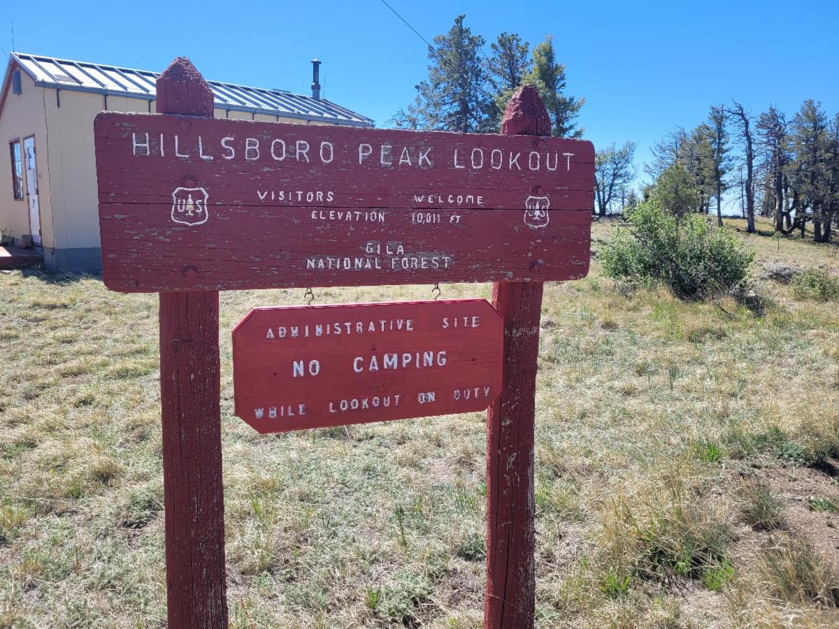
Have you hiked to all the Lookouts in the Gila?
While Mogollon Baldy is a long hike/backpack and is currently closed due to the Sacaton Fire, most of the other lookouts are accessible via a day hike.
Hillsboro: 5 miles one way from Emory Pass - Learn More
Black Mountain: 5 miles one way from Wolf Hollow Campground and Trailhead - Learn More
Signal Peak: 2.3 miles one way from Highway 15 - Learn More
Please respect the lookouts' space if they are present.
Also, plan your trip accordingly so that you are not in an exposed area during a lightning storm.
| | Photo Credit Marion MacDonald. Signal Peak Lookout. | | Finding Water but Avoiding Bears | | |
The rain has been nice, but it has not refreshed water sources that have dried up from the drought.
For example, Little Creek, where #160 crosses, was dry as of July 12.
Mimbres River Trail and McKnight Trail still have water (as of 2 weeks ago), although you may have to hike up a few crossings for McKnight.
There have been multiple reports of bear encounters at Jordan Hot Springs. Remember that wildlife needs water too! Besides the forks and main stem of the Gila, many water sources have dried up. This has resulted in more wildlife along the main waterways. Be Bear Aware.
The FS trail crew cleared the West Fork Trail #151 all the way to White Creek Flats. Expect willow at the crossing and the normal riverway brushiness along the whole trail.
Don't forget about the White Rocks Loop. It is best to start this loop in the morning in order to avoid crossing the exposed mesa during the afternoon, which greatly increases your risk of lightning exposure.
In terms of the Aldo Leopold Wilderness, Reed's Meadow had water as of July 16th. This correlates well with the work done in the area. However, Squeaky Spring near Reed's Peak is present but unreliable/not hugely useful, likely outright disgusting.
Hoping for widespread rain!
| | Join Us on a Trail Project in 2026 | |
| |
|
*Day Project*
Dates:Sept 1 – 2, 2026 Join us for 1 or both days
Trail Work: Logging, brushing, and drains
Project Difficulty: Easy to moderate
Map: https://caltopo.com/m/8NRJ21Q#
Hiking during the day: up to 6.5 miles
| | | |
Gallinas # 129, Railroad # 128, Crest # 79 & Hillsboro Bypass
| | |
Dates: Sept 10-13, 2026
Trail Work: Brushing, hedge trimmer and logging
Project Difficulty: Moderate
Map: https://caltopo.com/m/PH9LN00
Hiking during the day: 7 miles
Backpack to Basecamp: 4.2 miles
Riding During the Day: 14 miles
| | | | |
Check out the rest of the spring Trail Project Schedule
CDT - multiple locations
Scenic Trail #796
Powderhorn Trail #82
And more…
| | | #172 post Hummingbird Fire fern regrowth - June | | |
| How did you like this email? | | | Sign up for our Monthly Gila Trails Newsletter |
| | | |