|
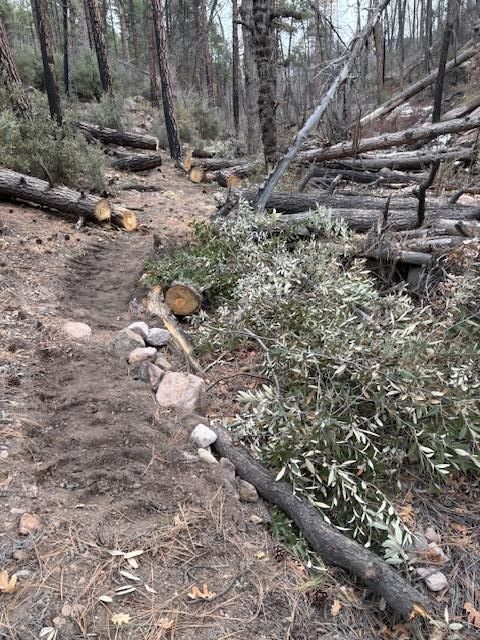
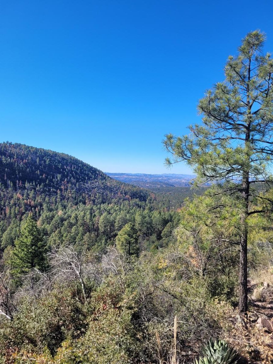
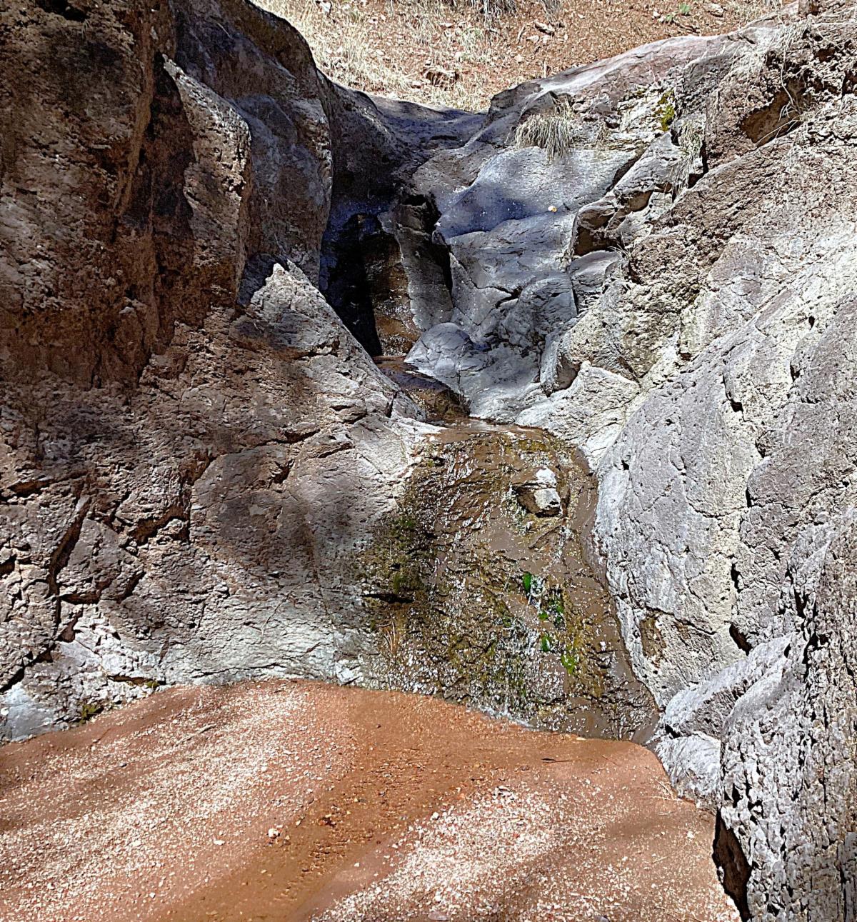
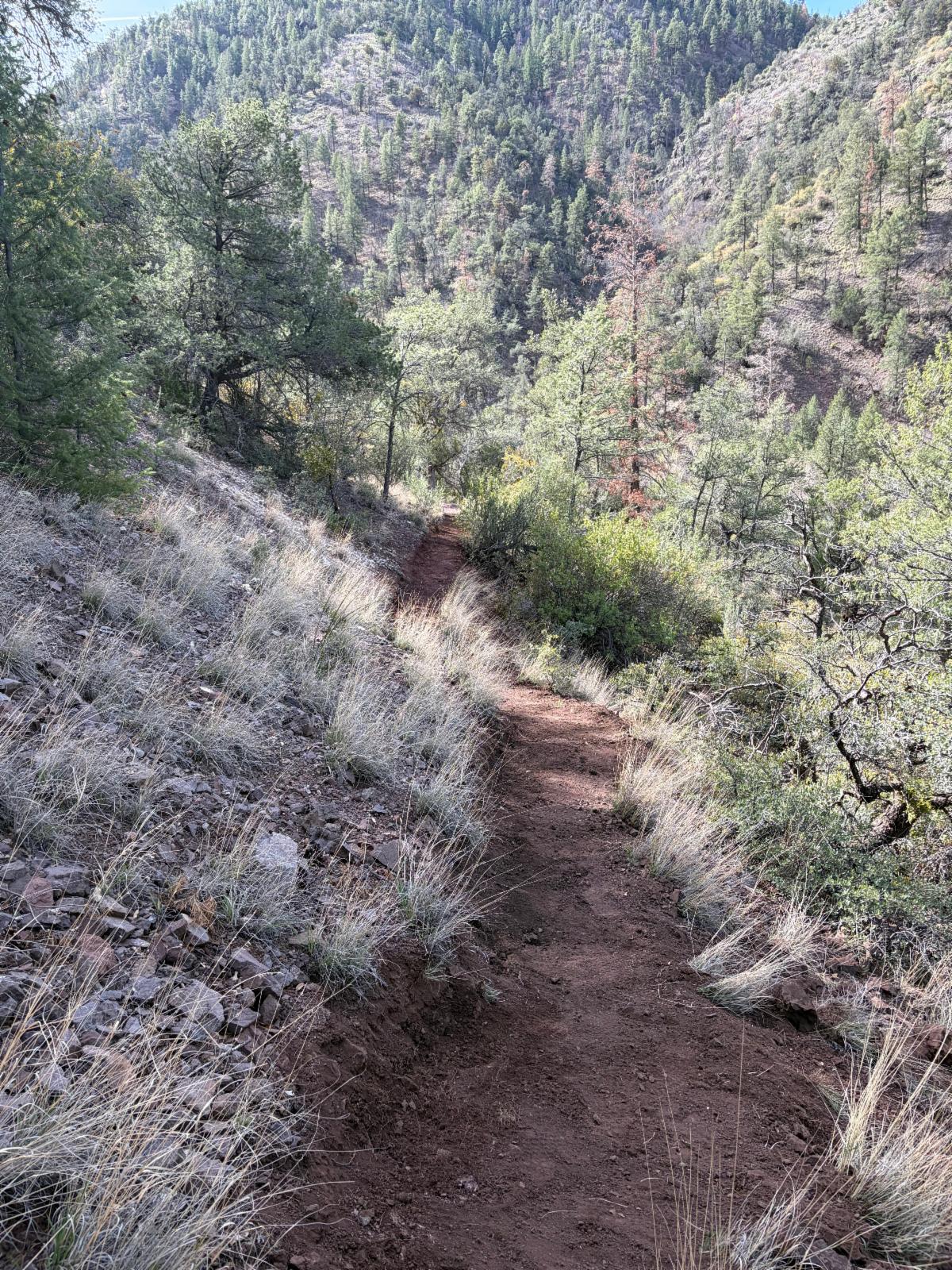
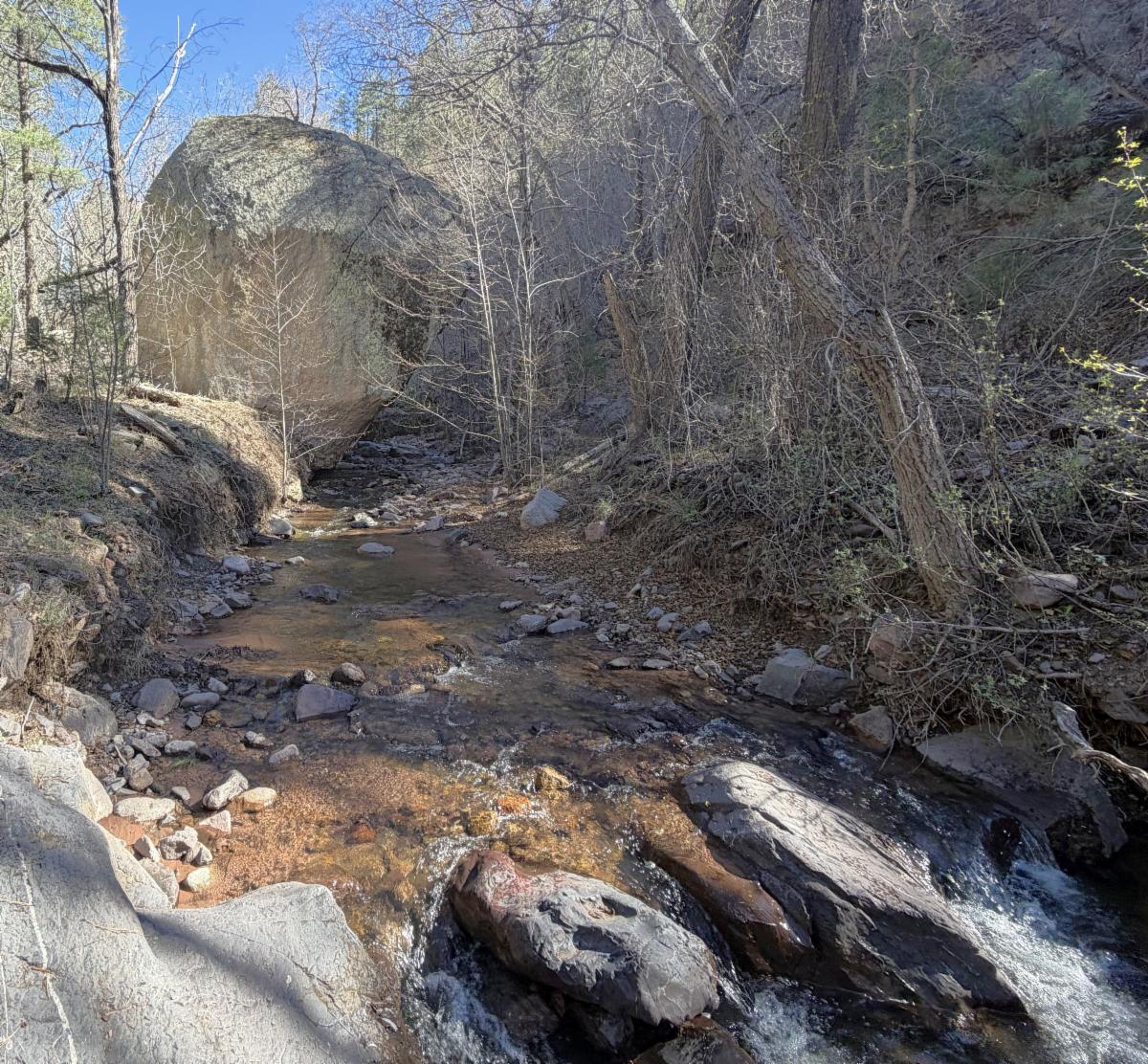
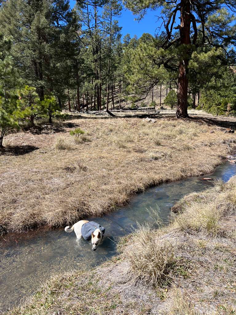
This trail starts as a nice place to car camp, especially when the creek next to the trailhead is running (which it was around March 20th). The trail climbs up to the ridge and then drops down into Red Canyon. This is a typical West Side of the Gila trail, meaning it is quite steep in places. Once in Red Canyon, the trail descends along the creek, passing multiple waterfalls (which were also still running March 20t). At times, the trail is in the creek itself.
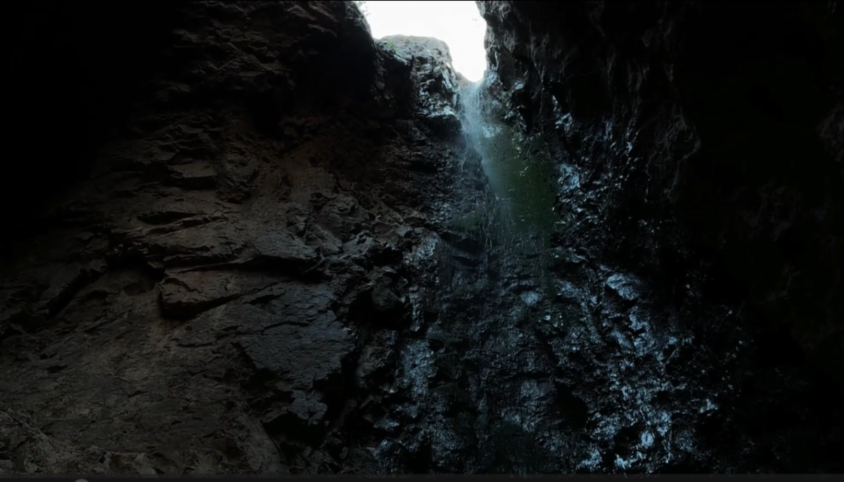
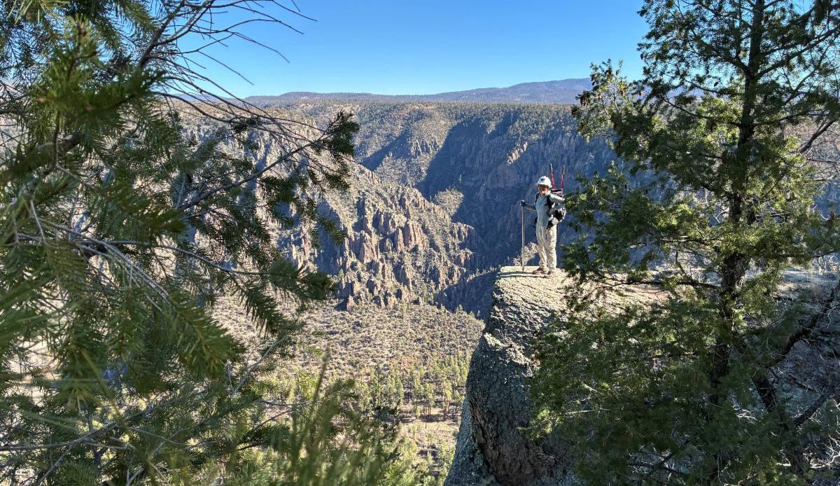
Just before its junction with the Mineral Creek Trail # 201, the trail cuts out of the creek to avoid a tall waterfall offering great views of the rock formations in Mineral Creek. Then it switchbacks down into Mineral Creek. To view the tall waterfall, take a sharp right when you get to the bottom and travel up the Red Canyon drainage until you get to the tall and overhung waterfall.
Directions: As with many rural roads, google maps and the actual road signs do not match.
From Silver City: It takes about 2 hours. Take Highway 180 west 67.4 miles. You will pass by Alma and go roughly another 2.85 miles to the right turn onto Deep Creek Ranch Road or Claremont Road. Stay on this road for 4.1 miles. Then take a left to stay on this same road. Continue for 0.9 miles. Then turn right on Claremont Road (actual road sign) or Copper Creek Road (Google Maps label) and drive for 6.6 miles to the trailhead. Just after the trailhead is a big yellow sign with "warning" at the top.
Disclaimer
Do not access this trail if it has rained - the road is clay and gets dangerous on the steep switchbacks. Also avoid this trail during times of a potential flash flood.
Read more: check out Desert Lavender's write up for this trail and see some great photos.
|