SHARE:  

September Gila Trails Update

In this Newsletter:

- Current Conditions

- Day Adventures

- Backcountry Adventures

- Updated Trail Project Schedule

View from Holt Apache Trail # 181 near Holt Mountain

Current Conditions

Drying Trend


With little to no rain in September,

springs and creeks are drying up.


If you have water updates from a recent trip, please fill out this quick form

for other trail users.


Plan accordingly in terms of water sources and always have a back up.

Gila Wilderness Adventures during Hunting Season

For the Gila Wilderness (units 16B and 22), bow elk hunting season ends in a few days on Sept 24th.


The first rifle for elk is October 5-9; however, this first hunt only has 25 tags compared to the following hunts: Oct 12 - 16 has 80 tags.

Oct 19 - 23 has 120 tags.


So, if you are not a hunter but want to see the Gila, these dates between hunts may be ideal, especially as temperatures cool.

Blazes - the key to trails in the Gila

Ponderosa Blaze 1

Ponderosa Blaze 2

Ponderosa Blaze 3

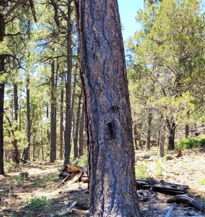
Recognizing blazes is a must when adventuring in the Gila.


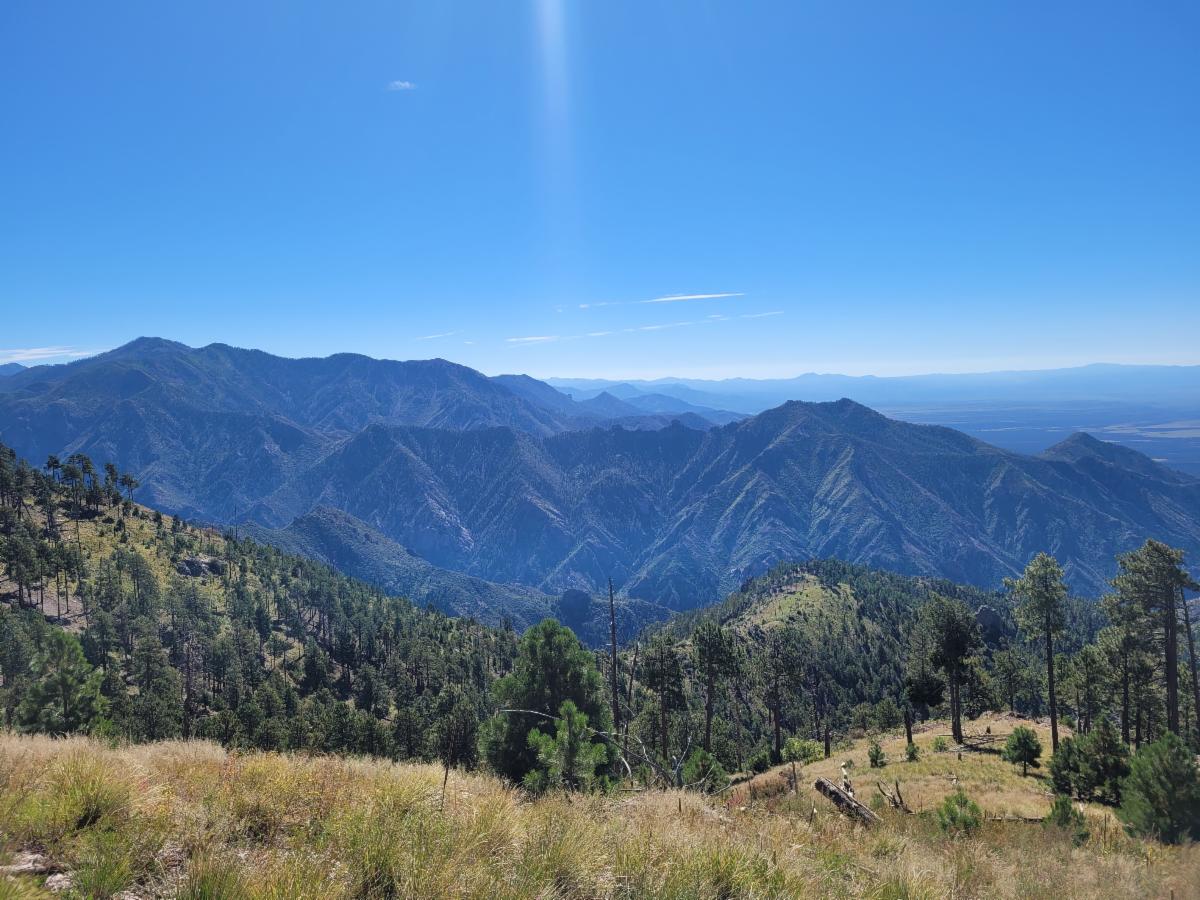
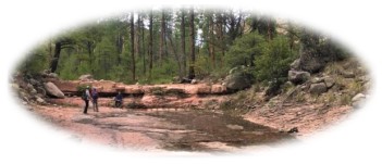
Here in the Gila wilderness, we are privileged to experience high solitude in most areas throughout the year. However, this unique environment also presents challenges, such as the difficulty of keeping the trail visible on low-use paths, especially with the tall vegetation during the monsoon season.


Blazes and cairns are not just markers; they are the lifelines that guide you through the wilderness.


Do you know a blaze when you see it?


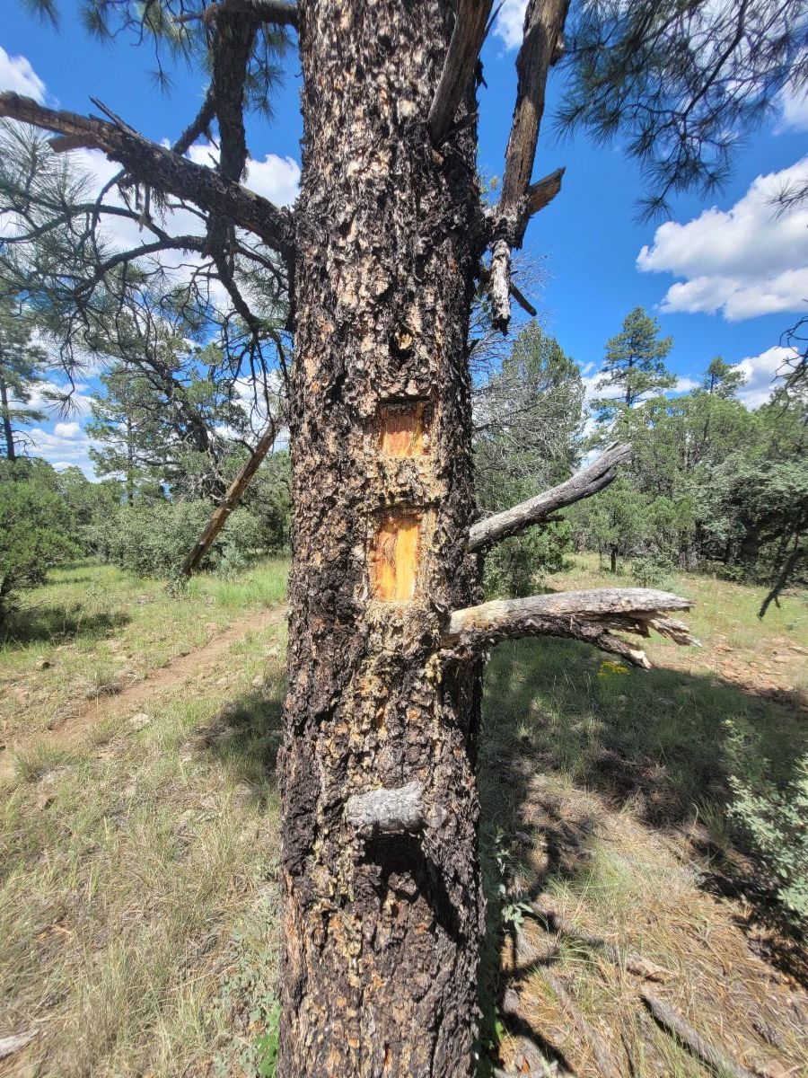
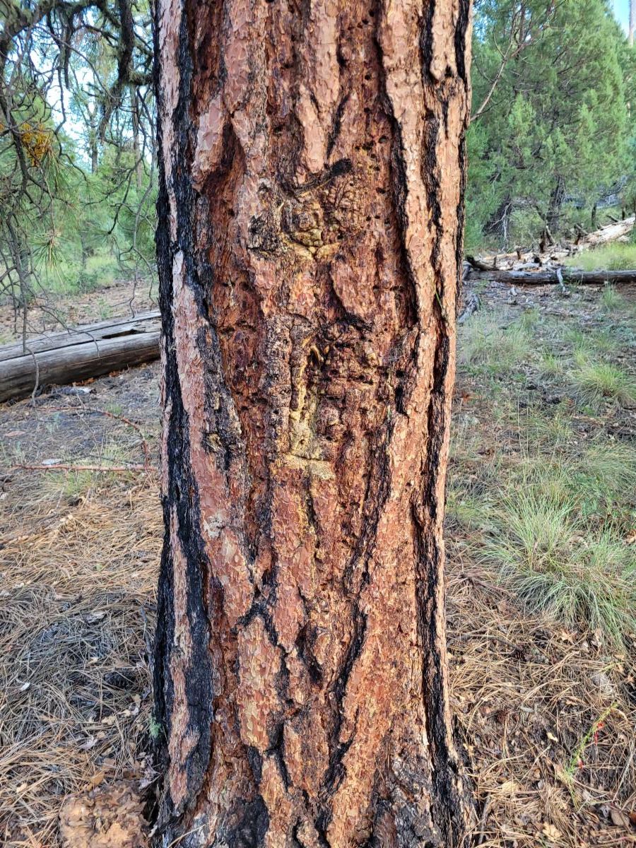
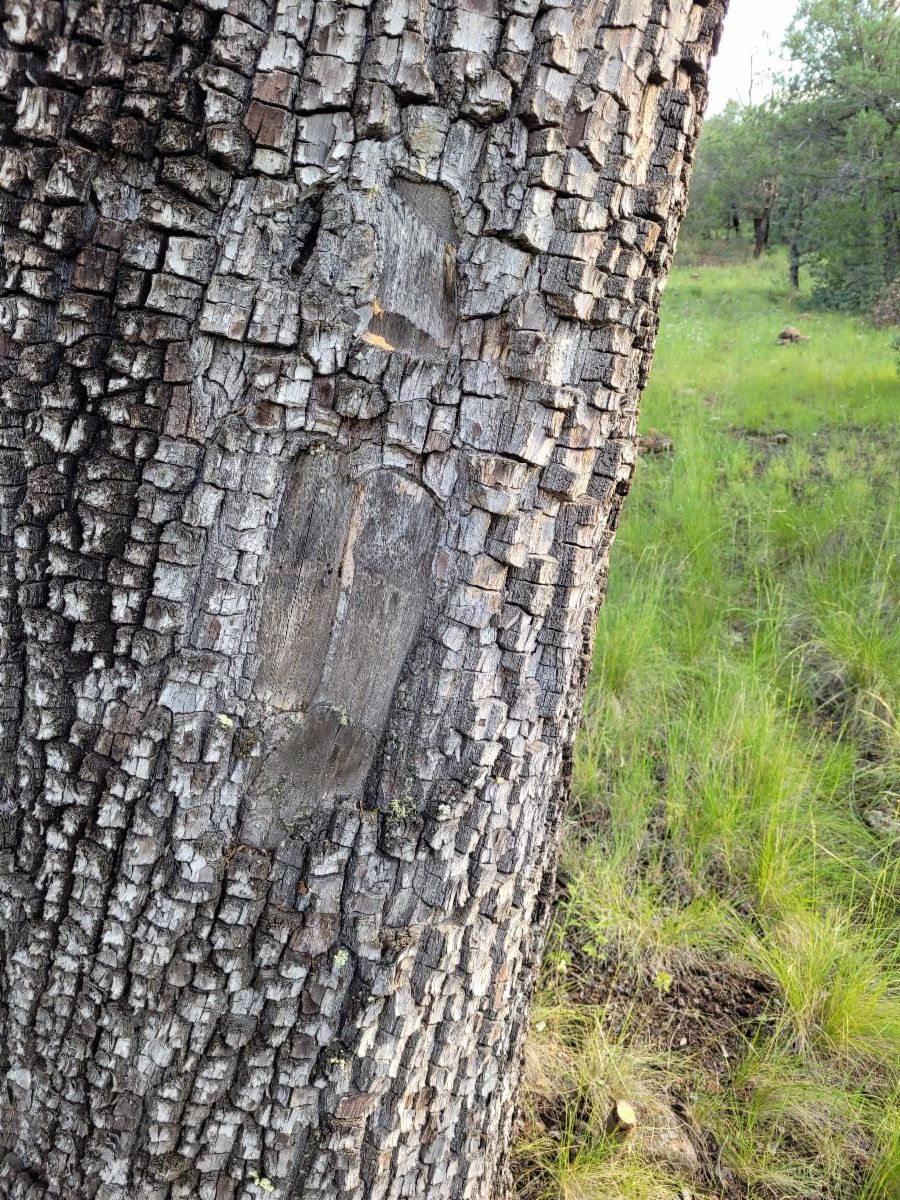
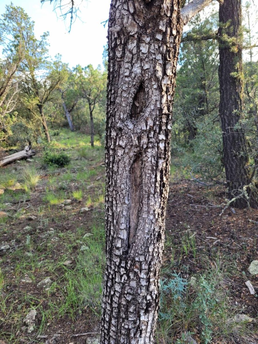
Most blazes in the Gila are on ponderosa trees. Each ponderosa holds a blaze differently. The photos above show various blazes that are several years old.

But you don't want to confuse a tree scar with for a blaze.

A few tricks to differentiate....

Blazes should be on both sides of the tree or on two nearby trees.

The Blaze symbol is a square, then a long rectangle.


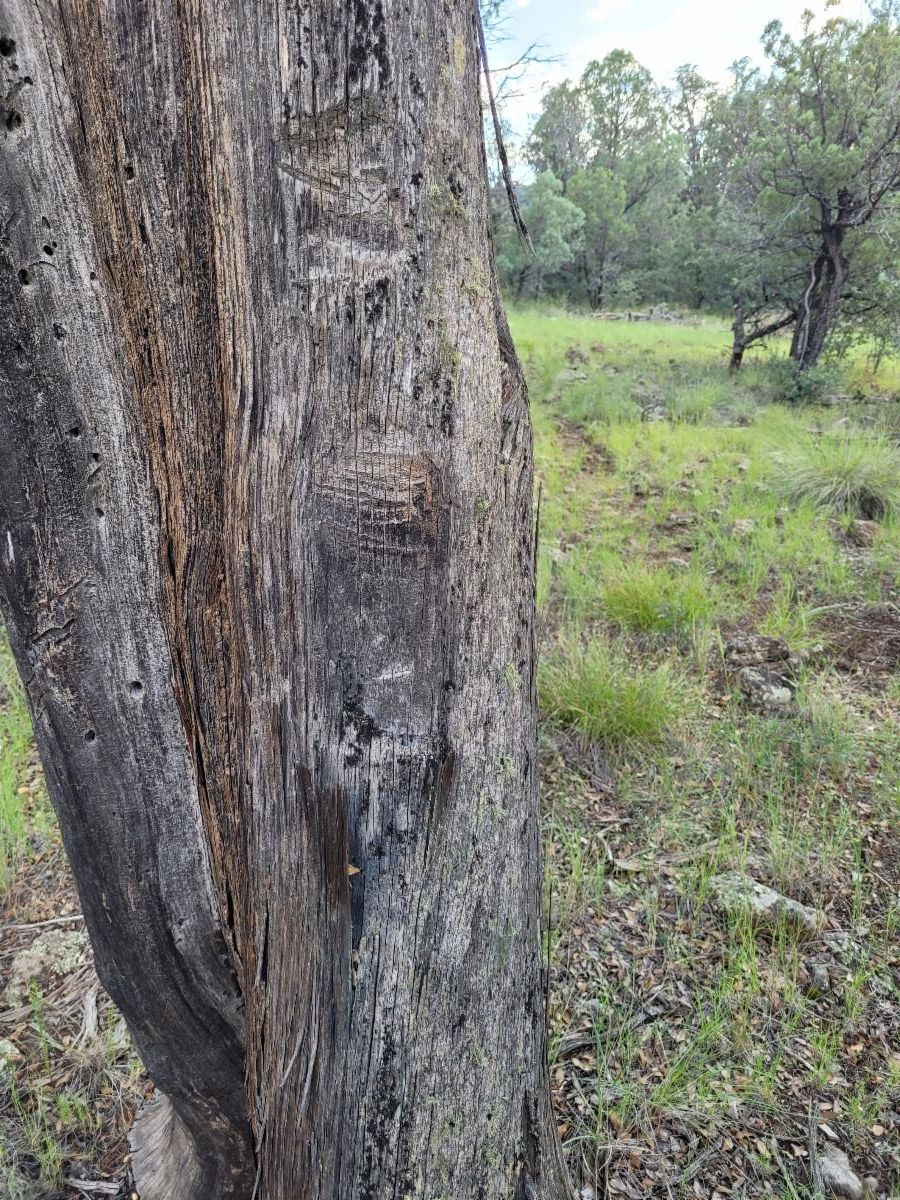
Juniper trees can also have blazes. The ones below are at least 40 years old. Notice the differences.


Mixed conifer trees can also have blazes, although they are less common and harder to see.


For more photos of blazes, check out this photo album.

Juniper Blaze 1

Juniper Blaze 2

Juniper Blaze 3

Aspens Changing colors

Photo from Little Whitewater - mid October 2023


While hiking on the Holt Apache Trail #181 past Holt Mountain on Sept 19th, I noticed that a few aspens were starting to turn. Within this next month is the time to plan your adventure to see the aspen colors.


If you want a longer out-and-back day hike/ride to see the aspens, check out the Holt Apache Trail # 181, leaving from the Sheridan Corral Trailhead.

We plan to work on the trail up there next week.

Adventure at your own risk.

Trail conditions change.


Recreate Responsibly

Day Adventures

Hillsboro Peak

As temperatures drop, leaves start changing colors and lightning hazards disappear, now may be a good time to take an adventure to Hillsboro Peak.


This trail is 5 miles one way, climbing from 8300 to 10,000 ft.

View Trail Info
Interactive Map

Backcountry Adventures

Whiterocks/Adobe Canyon Loop

Since the Middle Fork is low, now may be a great time to try the 17 + mile

Whiterocks/ Adobe Canyon Loop. Open sunny mesas are great for cooler weather.

Also, with water sources drying up, the East Fork may be a good option.


Or just day hike the 11 miles out and back to Whiterocks.


View Interactive Map
View Loop Info

Join Us on a Trail Project in 2024

Updated Trail Project Schedule

 Backcountry Projects

Little Whitewater Trail #214

Project Details

Dates: Oct 9-14th, 2024


Who: Hikers only because of no water at basecamp for stock.


Trail Work: Logging, brushing, trail marking & tread work.


Project Difficulty: moderate to difficult due to the elevation gain and hiking amount.


Map: https://caltopo.com/m/N5M16


Hike to Basecamp: 5 miles - very steep climb


Hiking during the day: up to 6.5 miles 


(Lower) Turkey Creek Trail #155

Project Details

Dates: Oct 21-26, 2024


Trail Work: Brushing, logging, trail marking, and spot tread work.


Project Difficulty: moderate


Map: https://caltopo.com/m/K112M5


Backpack to the basecamp 1: 2 miles


Backpack to the basecamp 2: 5 miles


Hiking during the day: up to 6.5 miles 

Check out our trail project schedule for October. We also have a day project Oct 1.


Questions or to RSVP: groundworktrails@gmail.com


Enjoy Gila Trails!

View from the Saddle between Twin Sisters Peak

Donate