May Gila Trails Update

In this Newsletter:

- Current Conditions

- Day Adventures

- Backcountry Adventures

- Trail Project Schedule


Off-trail near Brannon Park

Current Conditions

Fire App - Watch Duty


This app alerts you of nearby wildfires & firefighting efforts in real-time.


While there is a paid version, the free option does a lot and is likely enough for many users.


"Watch Duty is a non-profit, non-partisan, and non-government organization focused on disseminating public safety information in real-time from verified sources. Our service is powered by real people – active and retired firefighters, dispatchers, and first responders (not crowdsourced) – who diligently monitor radio scanners and collaborate around the clock to bring you up-to-the-minute life saving information. Our reporters undergo extensive training as well as background checks before joining our elite team."


Learn More


Road Closure on FS RD #141 from May to October

4.5 miles of #141 are closed for the replacement of the South Fork Negrito Creek Bridge. This affects access to Snow Lake, Willow Creek, Aeroplane Mesa Campground and more, if you normally drive from Reserve to get to these places.


Details about road closure: Gila National Forest | Gila National Forest to close 4.5 miles of Road 141 for summer | Forest Service


Details about bridge replacement: https://highways.dot.gov/federal-lands/projects/nm/fs-141-1. The bridge was originally built in 1959


Interactive Map of closure and main alternative route: https://caltopo.com/m/41M3838

Red line is the closure, and green line - FS Rd 94 - is an alternate route suitable for most vehicles and trailers.


Alternate Routes: The designated detour is Forest Road 94 through Apache CreekThe Forest Service roads crew recently improved FR 94 with three new culverts to improve drainage, and new signage has been installed along this route. 

Other alternatives are Forest Road 28 and New Mexico Highway 159. Highway 159 is a rough, very narrow, native surface road with tight turns and may not be suitable for low-clearance or long vehicles, those with trailers, or RVs.


Call the FS office ((575) 388-8201) with questions about the alternates, and if your vehicle/trailer can navigate it.

Did you find the New Murals?

Answer: The 4 pit toilets at the Cliff Dwellings and West Fork Parking lot all have different murals. It is worth checking them ALL out!


Which is your favorite? Mine is the beaver dam mural.

Bear Issues at Jordan Hot Springs

In the past week, trail users reported bear issues at Jordan Hot Springs. Please use caution if you go there. Always keep a clean camp. This will help animals from becoming habituated to human food.


Also, be aware that with increased dry conditions, animals may be stressed, lacking their normal food, and not act normally. They are reliant on water along the riverways, while that is also where most of us humans are congregating.


Also, please consider camping a little ways away from the few remaining water sources not on the rivers, so that animals can feel safe to get water from the minimal remaining water.


FS info about the bear.

Lightning in the Back Country


Questions about what to do and what not to do in a lightning storm? Check out this short NOL's Myth Crusher video about lightning.


Watch Video

Take the 2025 National Trails Day® Pledge!

Take a pledge to do good trails (i.e. enter your name/email) by June 14

and be entered to win free gear.


Learn more here: https://americanhiking.org/national-trails-day/#pledge.

Adventure at your own risk.

Trail conditions change.


Recreate Responsibly

Day Adventures

Gila River Trail from the Grapevine Day Use Area

Now is an ideal time to take a day adventure down the Gila River Trail from the Grapevine day use area.


It was now warm enough to be constantly in and out of the water.


The summer vegetation has not overtaken the river bottom yet, so for now the trail is easier to find.


The trail was recently improved from the Grapevine to 3 miles before Sapillo Creek thanks to CDTC and HOTG.

Backcountry Adventures

Allie/Bear/Woodhaul Loop

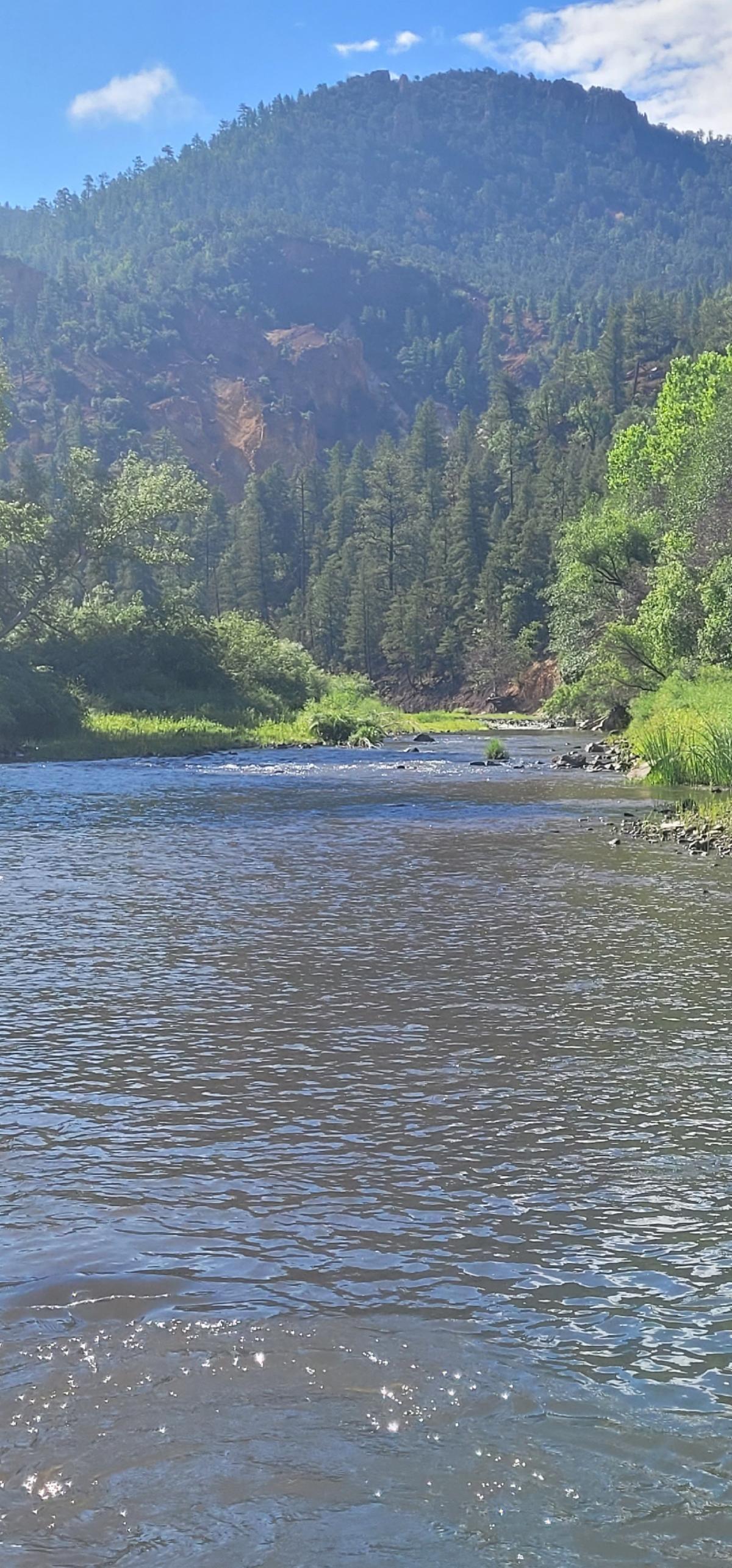
With very little water available, many multiday trips focus on the Middle and West Fork of the Gila River.


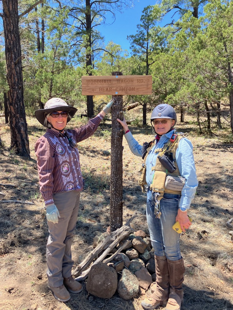
The Allie/Bear/Woodhaul loop is another option.


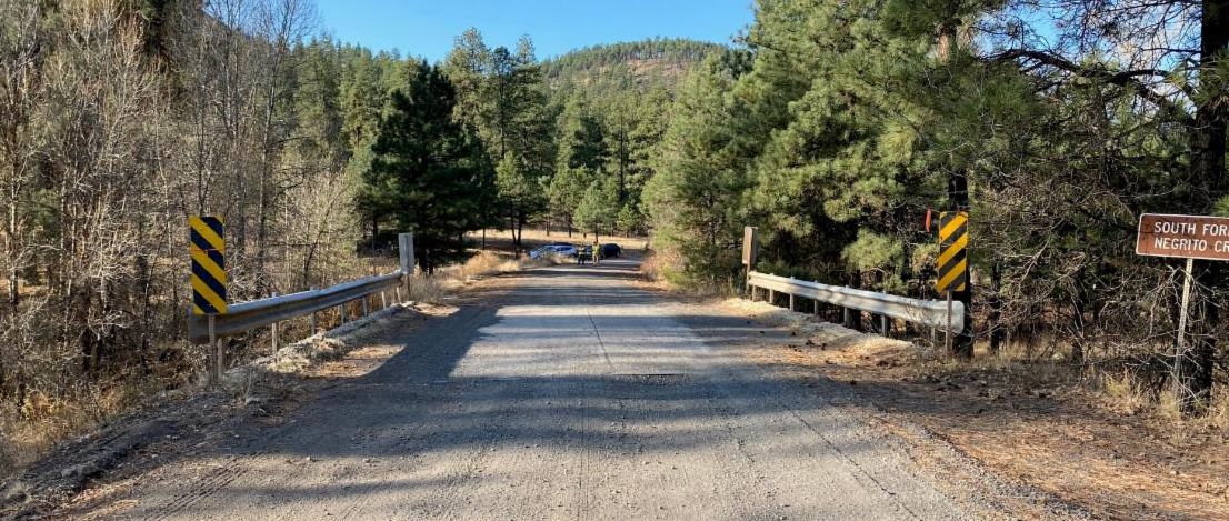
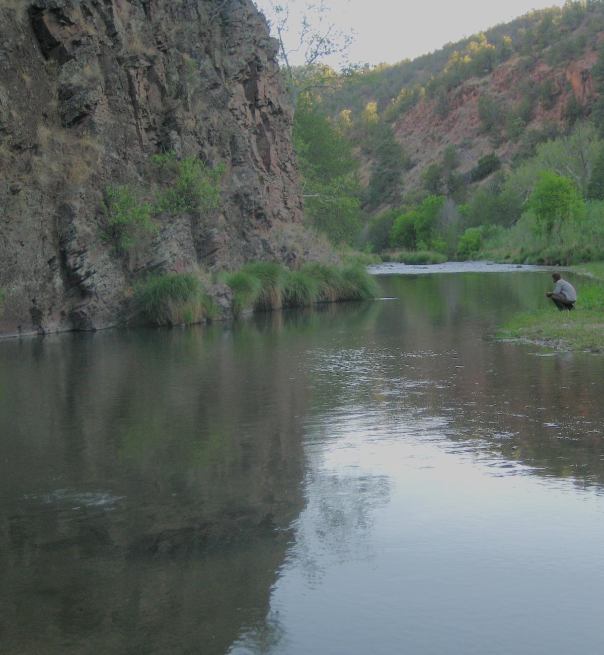
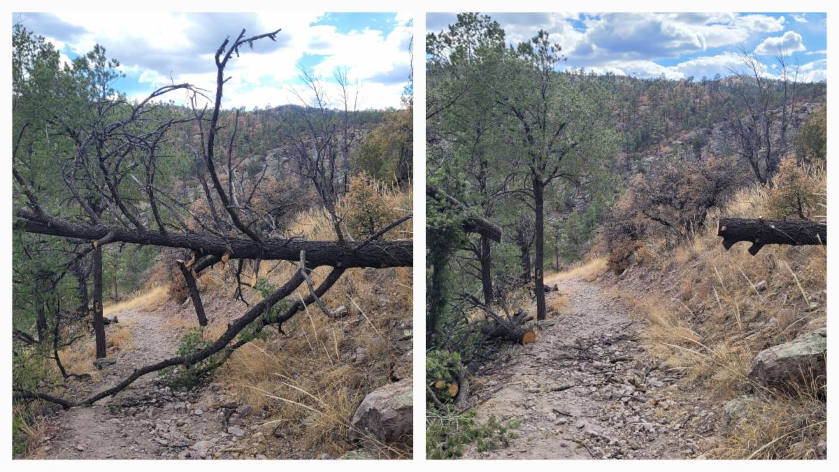
Last week, there was a good amount of intermittent water reported in Allie Canyon, in the mile+ upstream of the junction of Allie and #104. Water was also found where Woodhaul Trail crossed Deadman Canyon. So this will likely (but no guarantee) be a good option for the next few weeks, but may not stay through June.


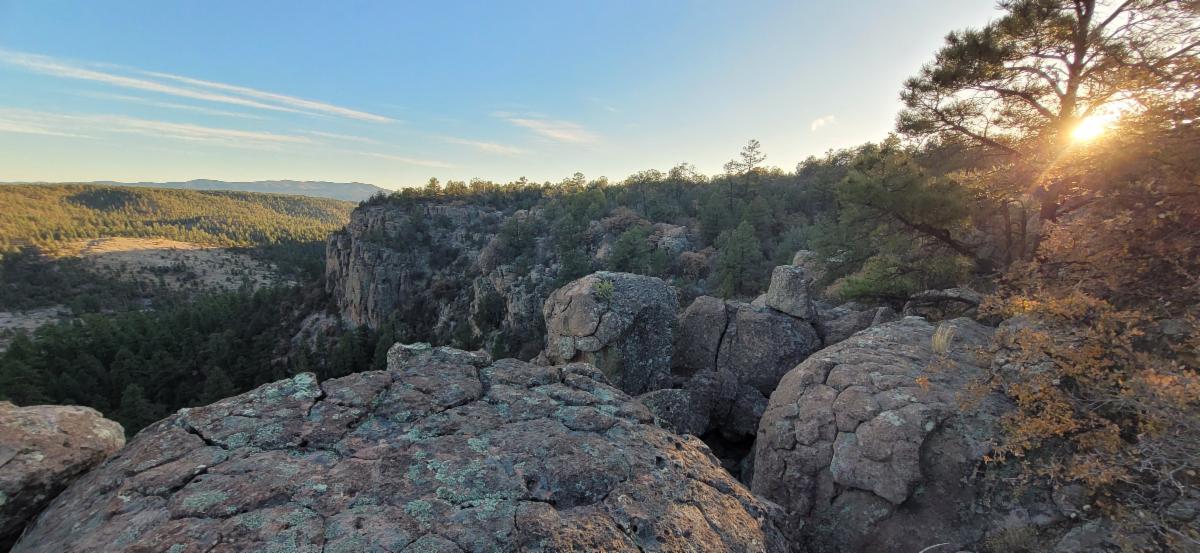
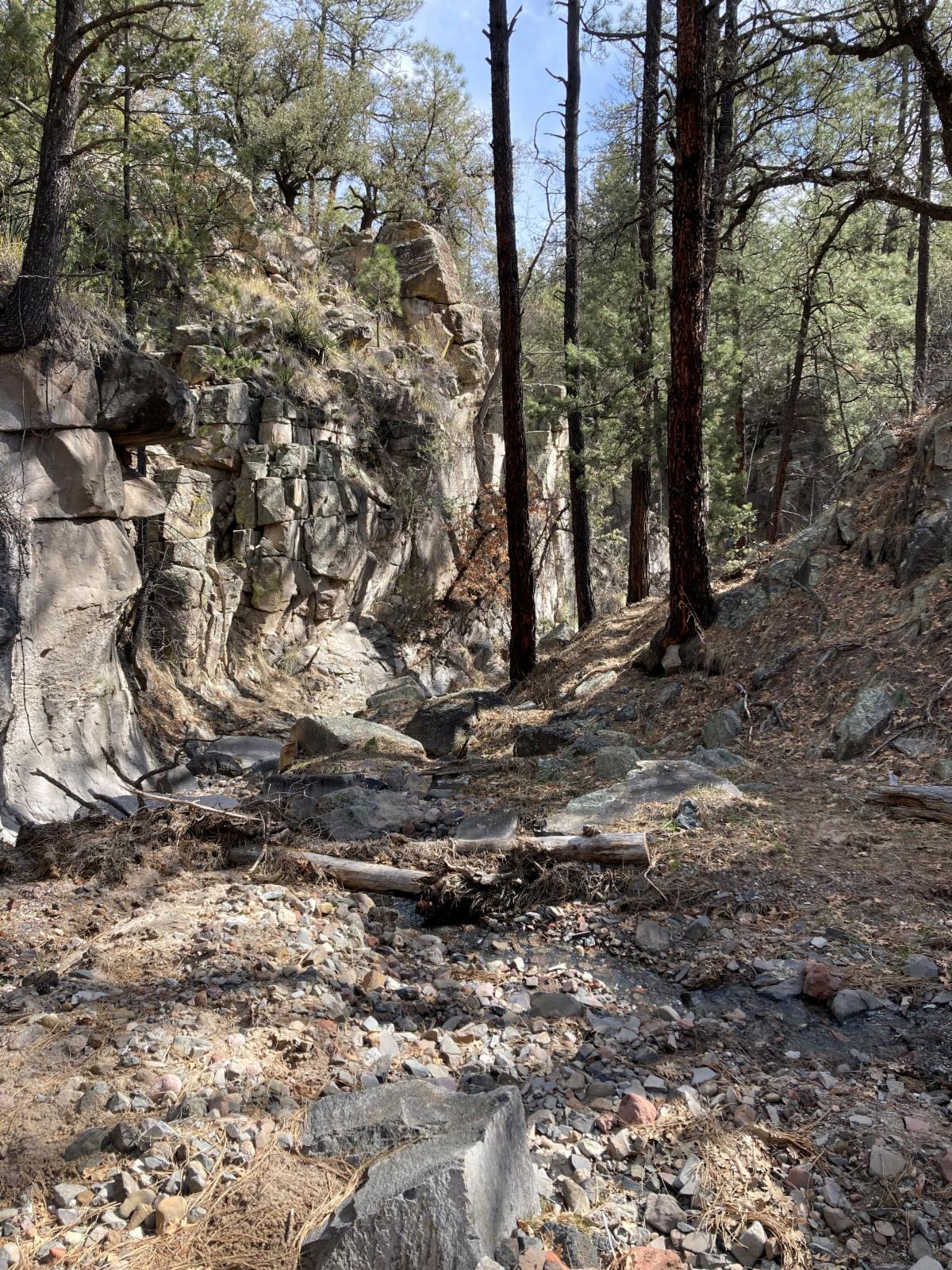
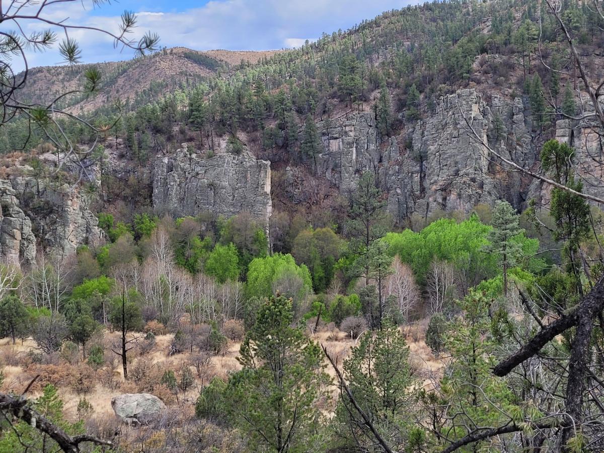
This loop is near Silver City and Mimbres but feels more remote. It travels through pinion/juniper, ponderosa pine, mixed conifer, sycamore, cottonwood, cliffs, and more.


A person who recently rode the loop on a mule described the place as "a real treasure."


The loop itself is 14 miles, plus the mileage of how you decide to access the loop.

Here are multiple ways to access this loop.

 Big Tree Trailhead 

 Allie Canyon off of Highway 35,

 Signal Peak Road - unofficial parking area, Fierro Road.


Switchbacks to the West and Middle Fork

~For Equine Riders~

For equine riders, there are often fewer obstacles when riding on the mesa tops. But right now, the mesa tops are dry. This makes the switchbacks to the Middle and West Fork key to accessing water for a camp.


Here is a report on the switchback options:


Hell's Hole Switchbacks on Trail #268 - reported tree free May 8th


White Creek Switchbacks on Trail #30 - reported tree free in April


Zig Zag Switchbacks to the West Fork on Trail #28 - logged on May 8th


#164 from Little Bear Trail to junction with #28 - logged on May 8th


Meadows Swithbacks on Trail #28 - 1 crosscut log and a small log on the trail. It may be hard for equine to get around. Gila BCH plans to clear this log next week, if the weather cooperates.

Tree issues addressed by Gila BCH on the Big Bear Switchbacks to the West Fork

Join Us on a Trail Project in 2025

Due to high fire danger, we have stopped trail projects for now.

Our Fall Trail Project Schedule will be available by early July!


For anyone still wanting to do trail work, check out the New Mexico Volunteers for the Outdoors Website.

They organize trail projects throughout the state (areas that are not so dry right now).

Highly recommended and well organized!

Enjoy Gila Trails!

View of the West Fork from the Big Bear Trail