|
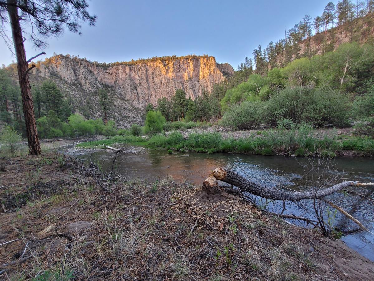
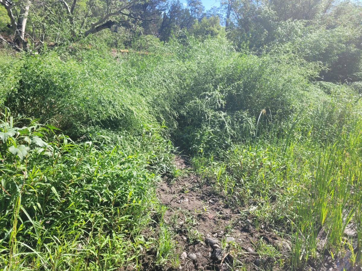
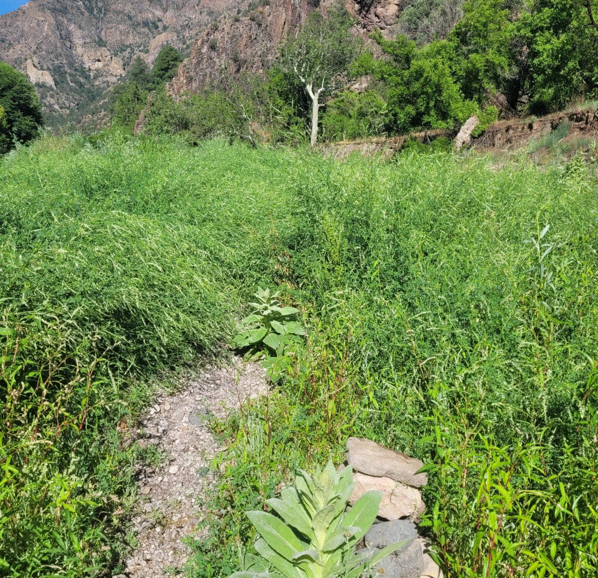
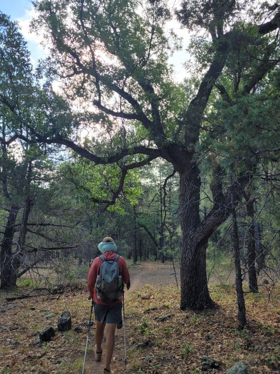
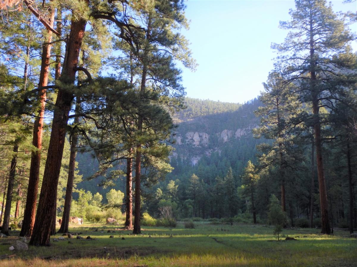
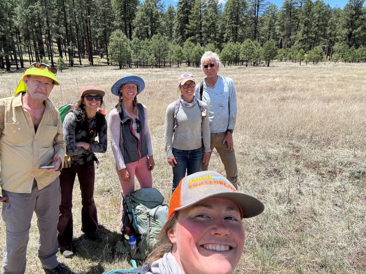
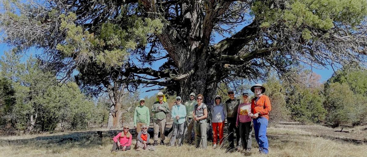
Thanks to dedicated trail adopters, Tadpole Ridge Trail has seen additional trail improvements. This well-loved trail is hard to maintain since extensive brush grows up tall every year, and burned trees are still falling. It takes dedicated individuals to make this possible.
Here are the updated trail improvements.
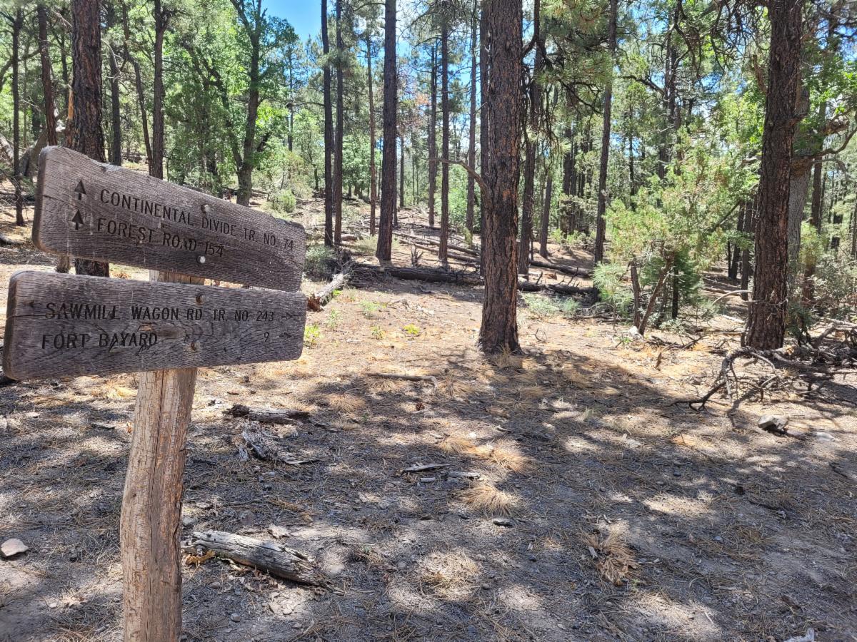
Miles refers to Highway 15 trailhead as the start of the trail:
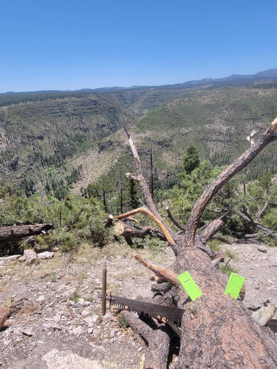
Logged
Mile 1 to 5
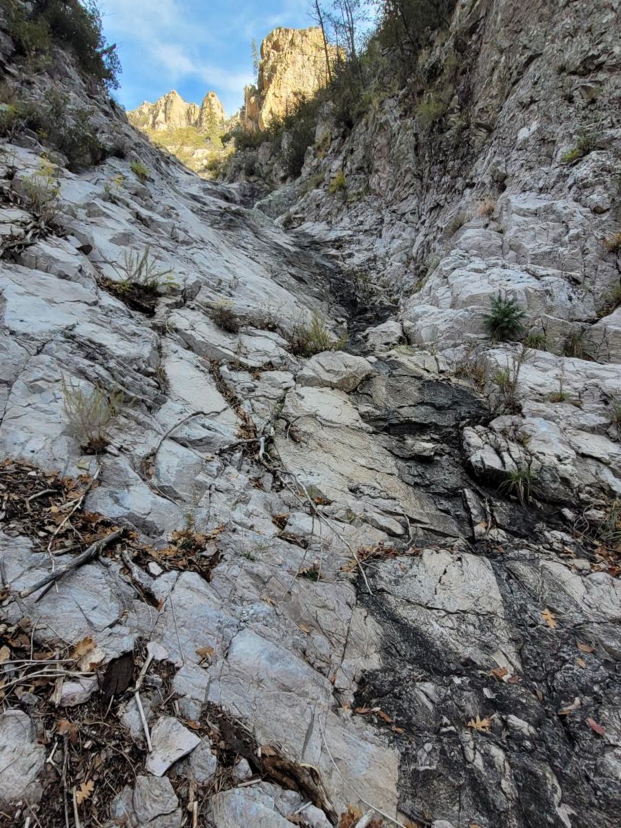
Tread
Mile 4.2 to 5ish - redid the tread starting from where the trail drops down the north east side of the ridge. A major transformation!
Lopped/Brushed
Mile 3.2 to 5. And....in the next week, they plan/hope to finish lopping between mile 1.5 and 3ish. Then, the trail will be completely brush-free for a few months.
Hikers should keep in mind that the brush grows back quickly in some sections. So the best time to experience the trail would be in the near future - from mid-July to mid-September.
Also, because the trail is maintained by just a few volunteers, people should not expect it to be in a constant state of perfect maintenance.
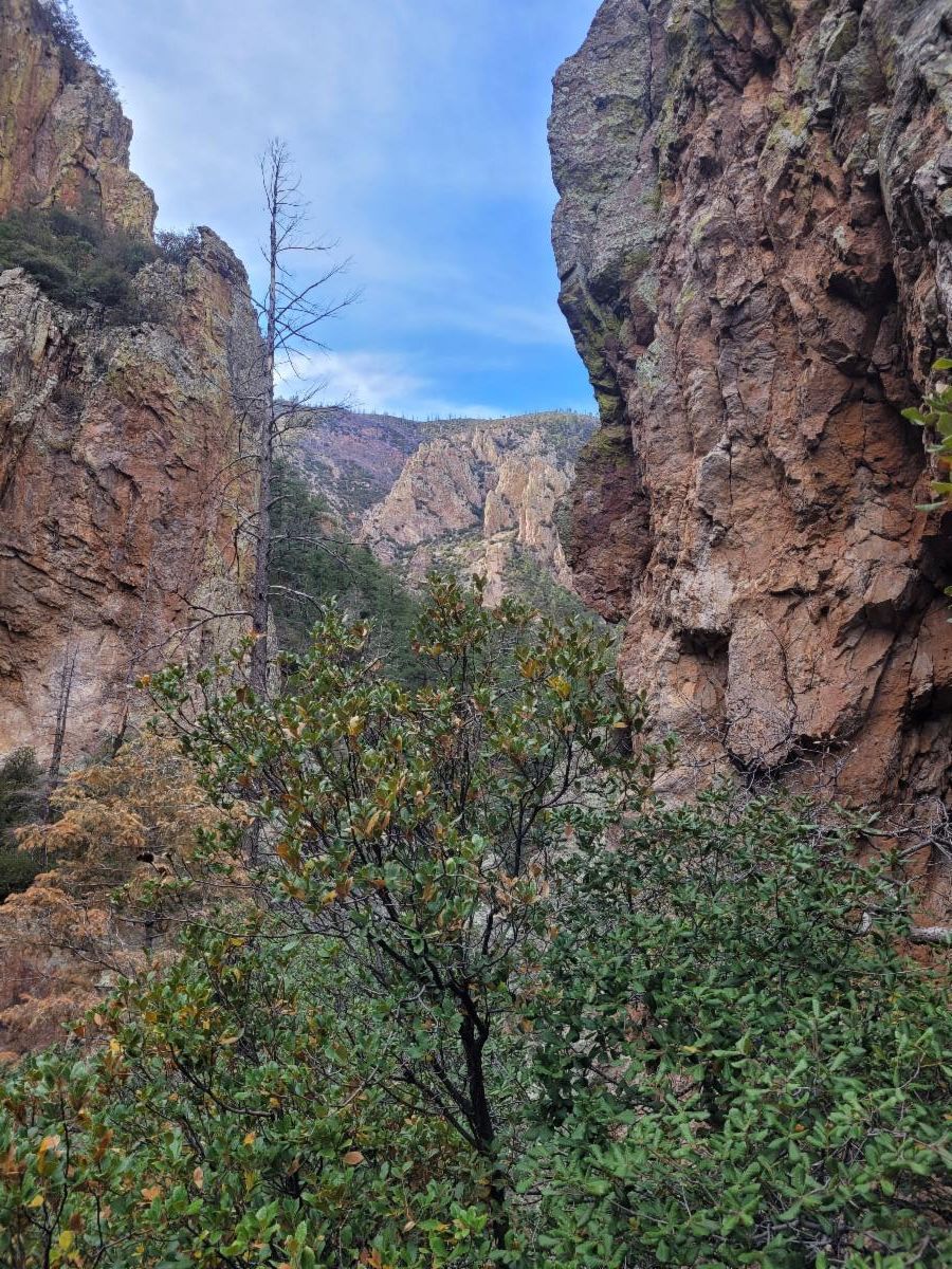
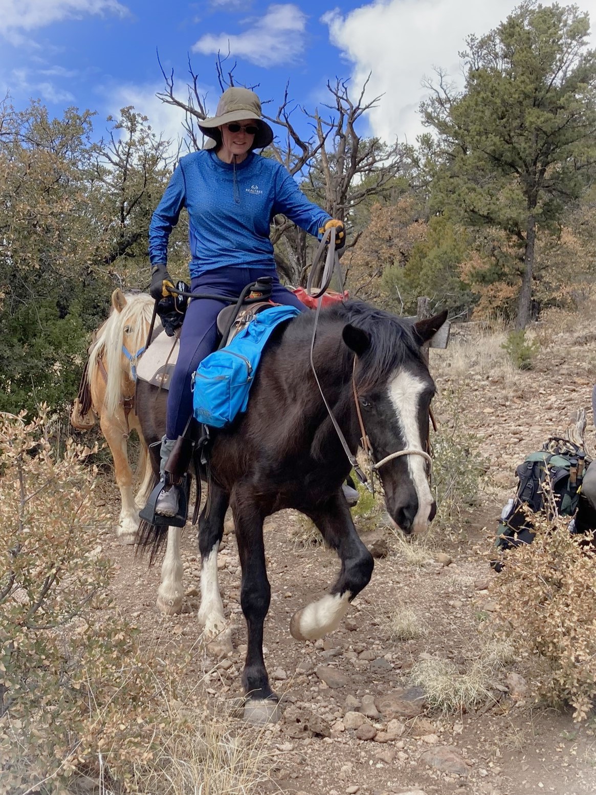
Note: The trail is not suitable for mountain bikes. Only very experienced horsemen should attempt it, as there are very precipitous drop-offs in places and uneven tread that can break off on the downhill side if a horse steps close to the edge of the trail.
Check out the other day's adventure below that is more suitable for Equine and MTN biking.
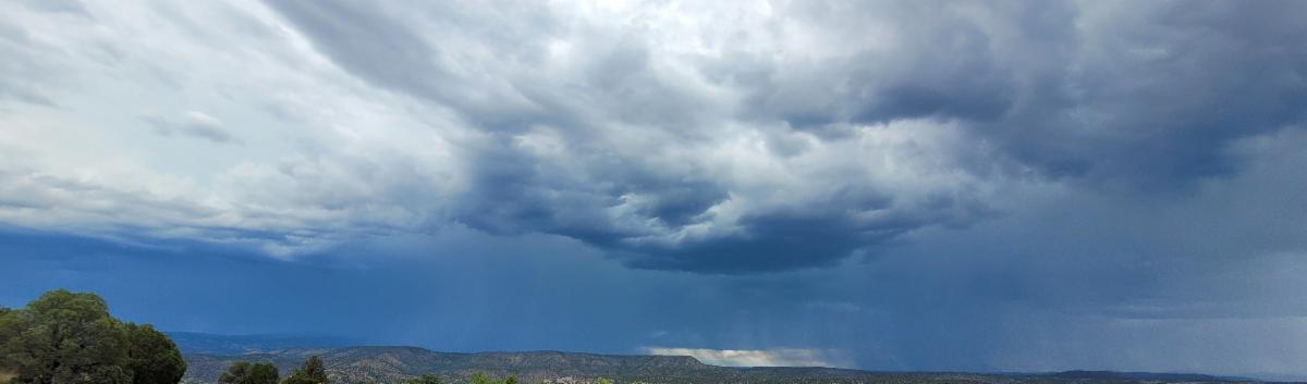
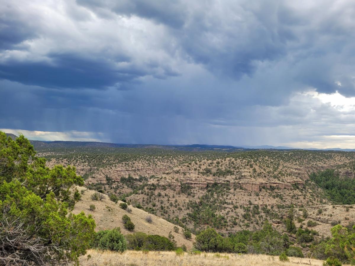
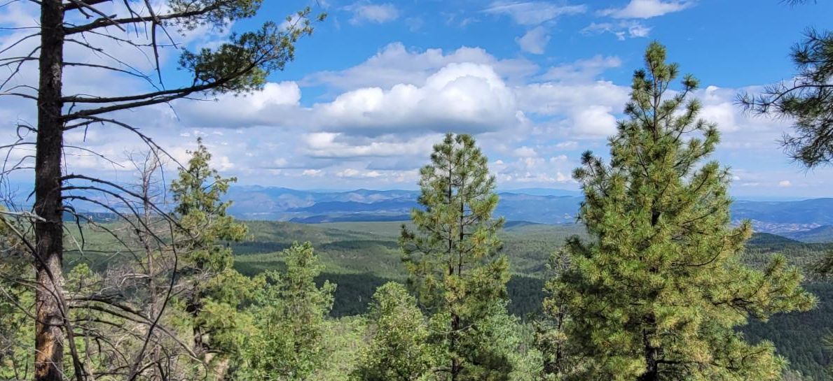
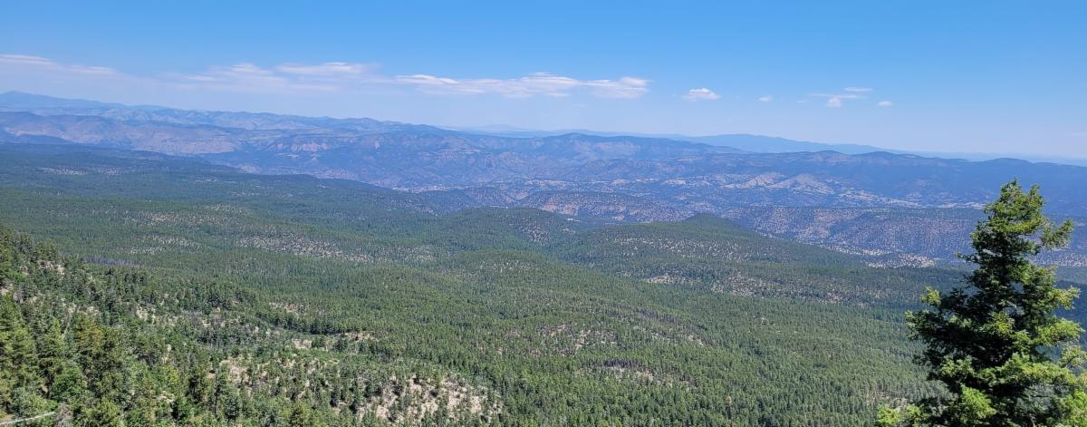
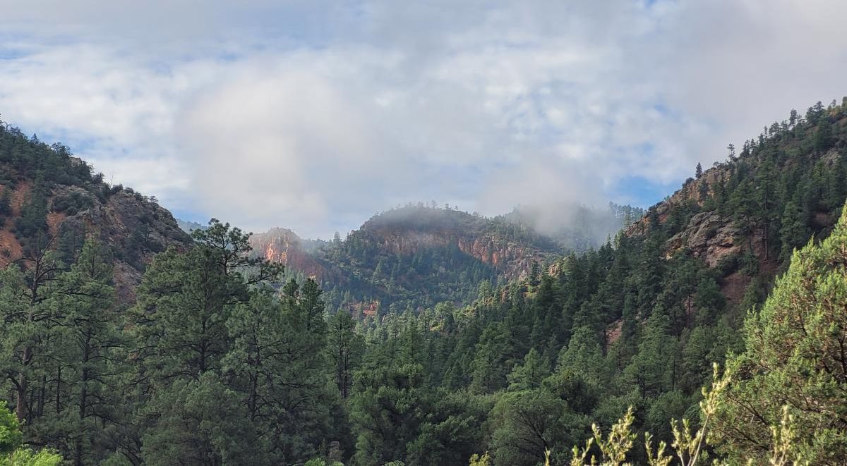
Plan accordingly..... This wonderful trail is high on a ridge making it high exposure in a lightning storm. Please check the weather before traveling this trail and keep an eye on how the clouds are building when you are up there.
|