September Gila Trails Update


In this Newsletter:

- Current Conditions

- Local Events/Trainings

- Day Adventures

- Fall Trail Project Schedule


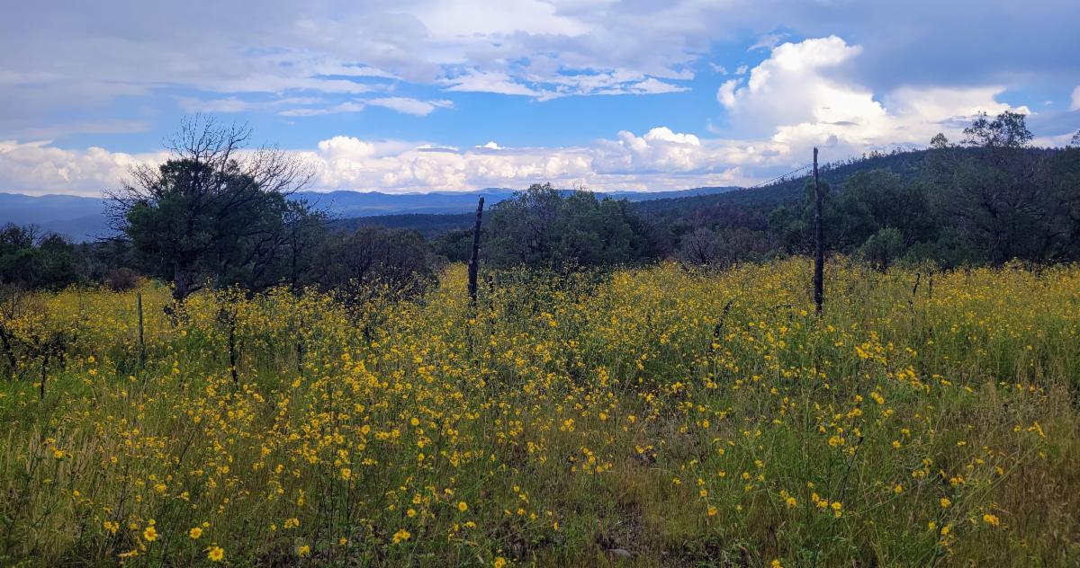
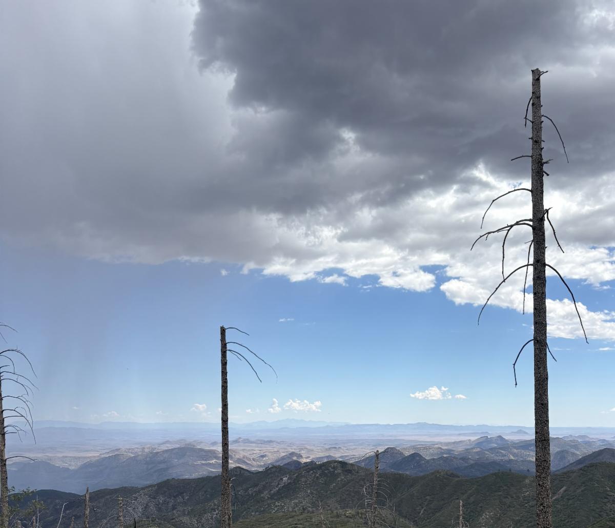
Near Copperas Overlook

Current Conditions

Road Improvements to the Mimbres River Trailhead

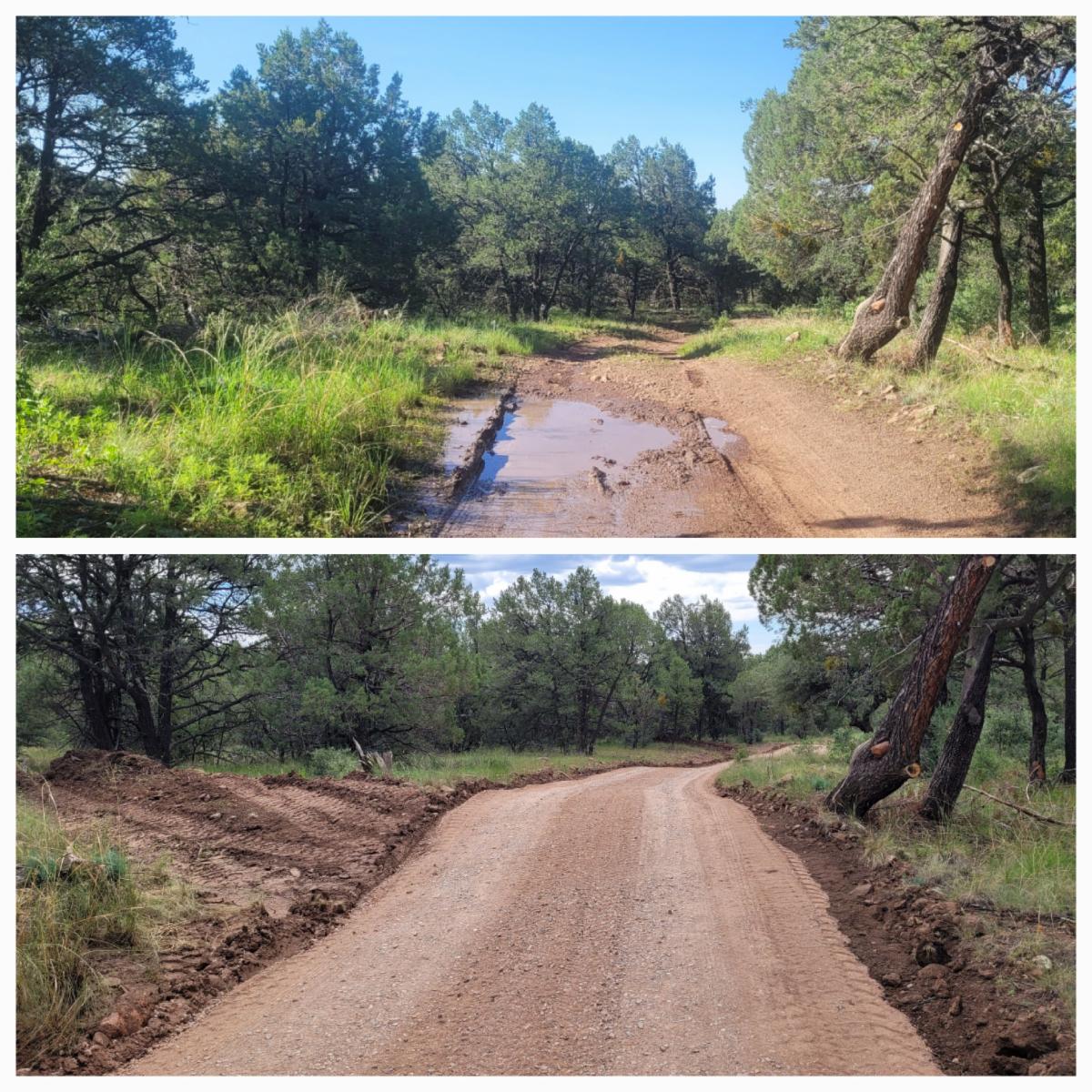
Thanks to funding from the National Forest Foundation (NFF), Freeport McMoRan, and the Forest Service, Gila Back Country Horsemen coordinated repairs to the Mimbres River Trailhead Road # 4080R, addressing over a decade of deferred maintenance.

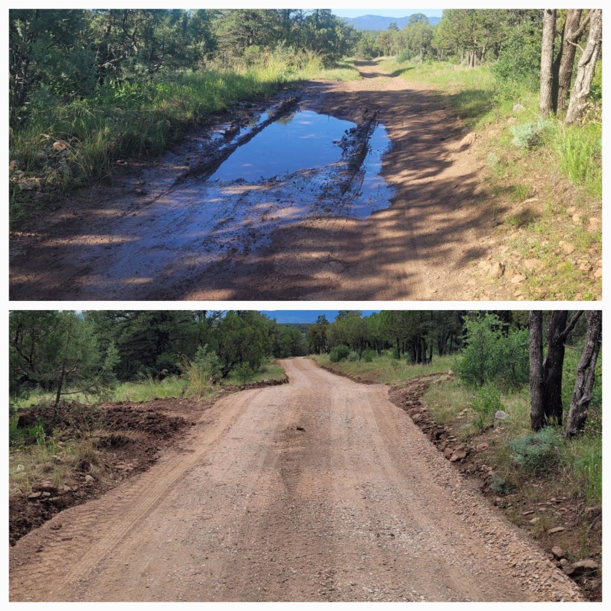
The road was narrow and overgrown, and the drainage dips no longer worked. This caused large mud puddles to form in the clay road, making it hard or impossible for most vehicles to navigate.


Now the road has a base course layer to help mitigate the effects of the clay soils. The roadway was trimmed so that branches and brush don’t scrape vehicles and to improve visibility of oncoming vehicles. This allows one to move over in a wider area if there is traffic.

This road serves as a crucial access point for several reasons.


It provides entry to the Aldo Leopold Wilderness for low-clearance vehicles and horse trailers. An alternative trailhead further down FS Road 150 requires drivers to navigate through Rocky Canyon, which can become impassable after rainstorms. Additionally, the route involves steep, narrow switchbacks, increasing the risk of encountering another vehicle or, even more concerning, another horse trailer.


Furthermore, this road work is essential for future trail improvements. The 2022 Black Fire damaged the already unsustainable upper portion of the Aspen Canyon Trail and the Continental Divide Trail (CDT). A new sustainable reroute is planned to begin in October. Improving the road conditions will enhance the crew's ability to complete this important work.

In addition to the road work, Gila BCH also recleared the CDT Access Trail up to Signboard Saddle CDT access Trail Fall 2026 - CalTopo and re-logged the Mimbres River Trail up to Monument Canyon mimbres river trail work 2026 - CalTopo.

This trail is currently hard to see in places because of thick vegetation and tall grass from the monsoon rains. Once the vegetation dies back, the trail should become more visible. 


Stars Over the Gila Program

at Gila Cliff Dwellings National Monument

Dates


September 24 - 30

  • Thursday - Sunday 9:00 pm - 10:00 pm


October

  • Every Thursday - Sunday 8:30 pm - 9:30 pm


November

  • Every Thursday - Sunday 7:00 pm - 8:00 pm


December 1st - 12th

  • Thursday - Sunday 6:30 pm - 7:30 pm
 

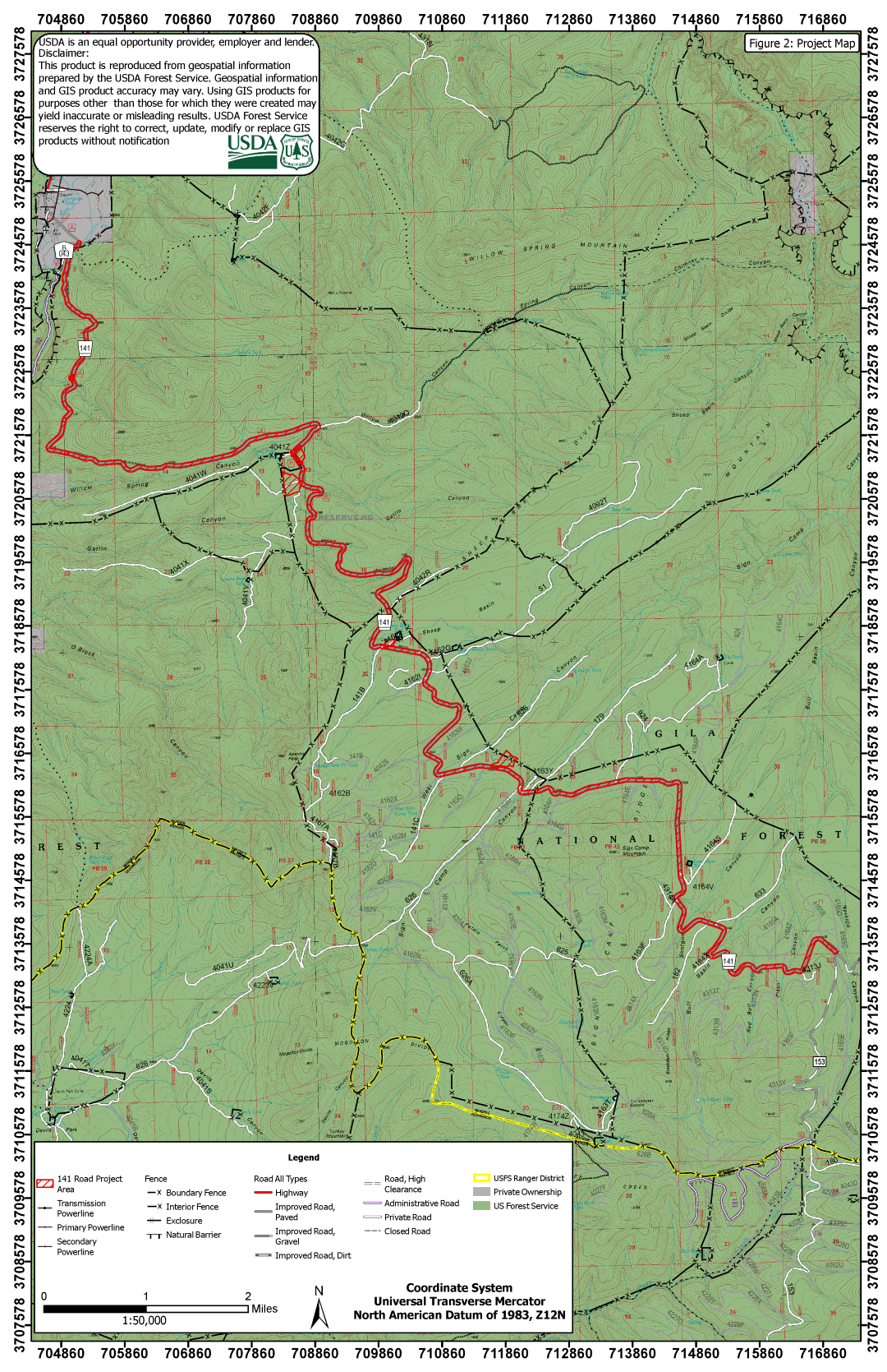
Forest Road 141

Rehabilitation & Maintenance has begun!


Potholes galore has been the condition of the 141 for decades. And because the road is nicely shaded, it was often hard to see the potholes in time to avoid them.


This torturous drive to the beautiful north side of the Gila is under construction from now until .....

"The project will continue through early to mid-November when winter weather conditions set in. Weather permitting, work will resume in spring of 2027 with an anticipated July 2027 completion date. "


Read the details in the Press Release to learn what days the road will be closed.


Alternate Routes: One detour option is Forest Road 94 through Apache Creek.

Other potentially less desirable alternatives due to road conditions are Forest Road 28 and New Mexico Highway 159. Highway 159 is a rough, very narrow, native surface road with tight turns and may not be suitable for low-clearance or vehicles towing trailers, or RVs.


If you have questions about the alternate routes, including road conditions, feel free to contact the Gila National Forest Service office at 575-388-8201


map of road work


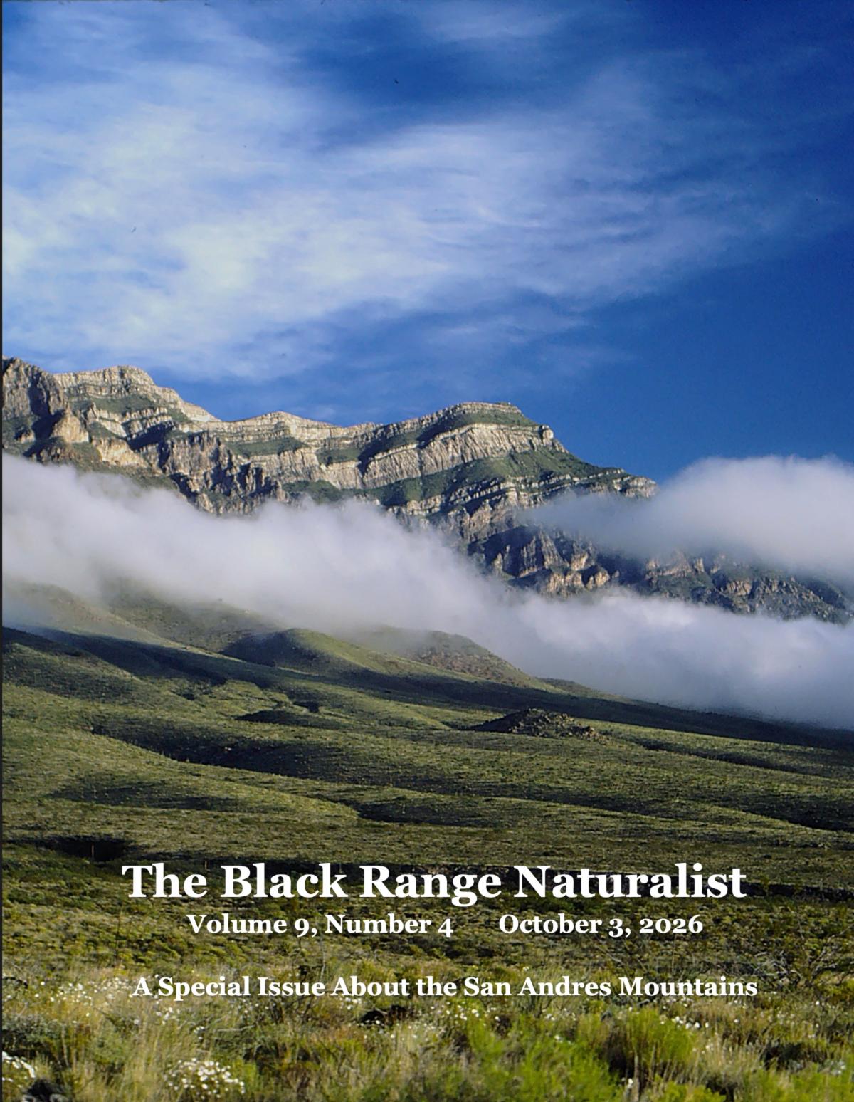
Black Range Naturalist

The Black Range Naturalist (BRN) is a free quarterly journal that highlights the flora, fauna, geology, and ecological observations of the Black Range region. It is written by local residents, researchers, and enthusiasts who live in or work around the Black Range, providing firsthand insights into the area's natural environment and human interactions with it.

Photo credit: Black Range Naturalist

Check out the Oct 2026 Issue.


"This is a special issue about the San Andres Mountains generally and the field research conducted by Ken Logan and Linda Sweanor over ten years (10 days on 4 days off). Their puma research was ground breaking. In this issue they share the beauty of a place that few of us will ever be allowed to see. "

Monsoons and Vegetation

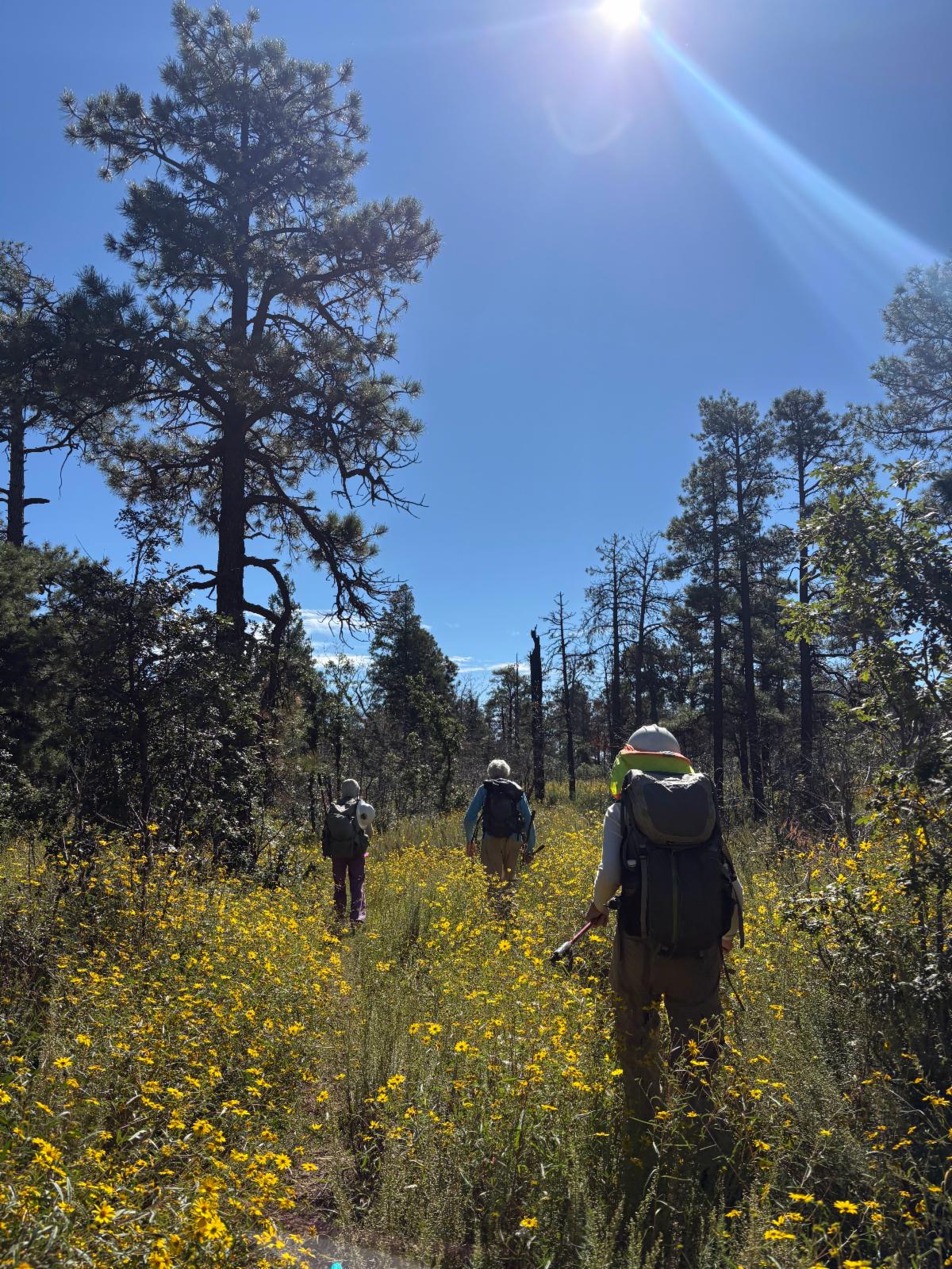
The rain we received this summer means most creeks are not running, but the grass and flowers are thriving.


Some areas like

CDT between Signal Peak and Aztec Park, and the Mimbres River Trail #77 along the Mimbres River have waist-high flowers and grass that make it very challenging to see the trail.


This is especially true in the first few years after a fire, such as in the Trout Fire scar and along rivers/creeks. In areas that are not heavily trafficked, the vegetation does not get knocked down.


This is a temporary problem - once the grass dies back for the winter, the trail will be more visible.

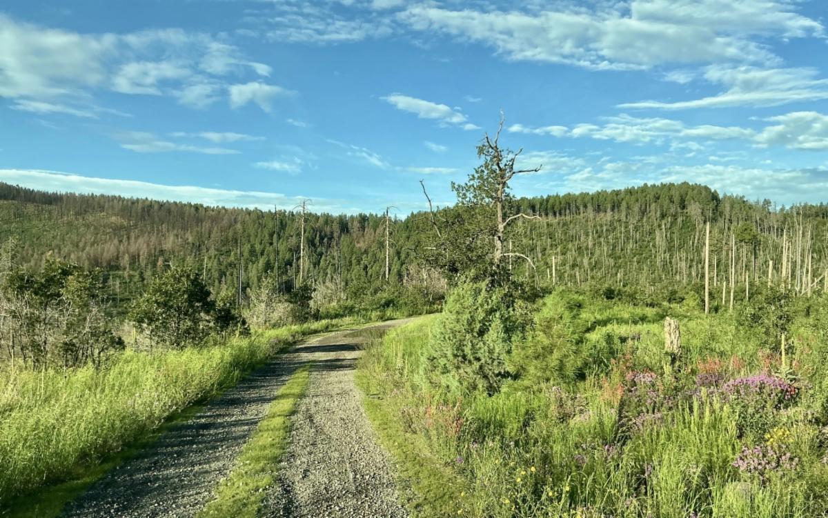
CDT near Signal Peak


Spotty Rain

In the past few days, there has been a significant amount of rain, but it has been very spotty.


For example, a few days ago, the Middle Fork was running at 150 CFS while the West Fork was running at 4 CFS. While water races down the main Gila River, raising the water level to over 300 CFS, Little Creek and Little Turkey Creek, where #160 crosses, are still dry.


Don't assume there is water if you are backpacking, and check the water gauges before your trip. More rain is predicted for next week.


Join the RAC Committee - Deadline Sept 30th

Photo Credit: USDA Forest Service

If you’re a New Mexico resident who loves our forests, we want to hear from you!


The federal Secure Rural Schools program provides critical Title II funding for local projects that matter to us all, like:

Trail construction

Hazardous fuels reduction

Watershed and habitat restoration

Road maintenance and

Range improvements

…to name a few.

As a RAC member, you’ll:

Attend quarterly meetings with other RAC members across the state (travel and time compensated; virtual attendance available)

Directly review project proposals and recommend where federal dollars go.


We’re building a balanced committee, including:

Industry partners

Local businesses

Range permittees

Outdoor recreationists

Environmental groups

Local educators

…and more!


Signal Peak Road Improvements

The Signal Peak Road recently received maintenance!

Thank you, Forest Service Road Crew!

Before their work, the road was a locust tunnel, making it hard to see oncoming traffic and to pull over if there was any.


This road leads to hikes along the CDT and to the Signal Peak Trail. It offers great views. The Signal Peak Trail between the Signal Peak gate and Black Mountain just received a lot of work. Plus, there is the lookout tower on top of Signal Peak.


Local Events/Trainings

Natural Curiosity

Public Lands Day — Natural Curiosity - Sept 25-27 - Hermosa


Adventure at your own risk.

Trail conditions change.


Recreate Responsibly


Day Adventures

Crest Trail #79 to Sawyer Peak

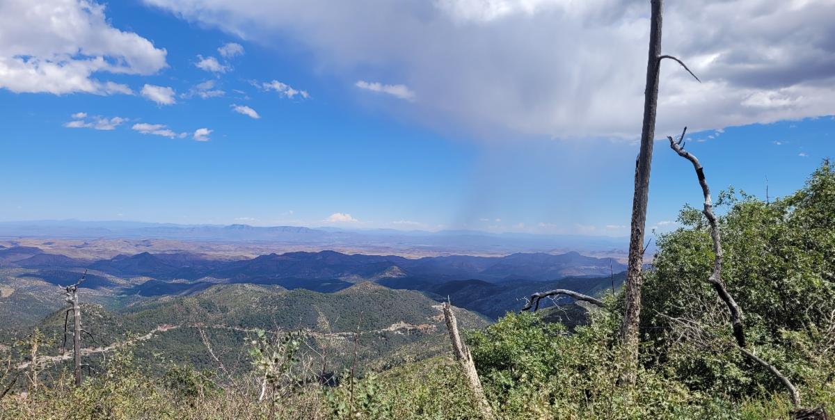
View from Crest Trail #79

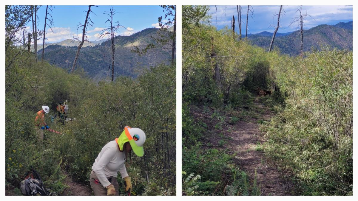
Before and After photo - clearing the locust

As the monsoons will soon fade, it may be a good time to hike up to the base of Sawyer Peak along the Crest Trail. This trail was recently improved, including the removal of locust trees from the first 2 miles of the trail. I hope you enjoy the trail improvements!


This trail starts at Emory Pass and heads south.


Join Us on a Trail Project in 2026

Fall Trail Project Schedule


Turkeyfeather Spring and Clear Creek 

New Trail Project !!

Dates: Oct 3 - 9, 2026

Trail Work: Logging, trail markers, tread & brushing

Project Difficulty: Moderate

Map: https://caltopo.com/m/FTR2FSS#

Backpack to Basecamp 1: 6.25 miles 

Backpack to Basecamp 2: 5.75 miles  

Hiking during the trail work days: up to 3.5 miles

Backup project if lack of water: Turkeyfeather-Spring-and-172.pdf


CDT near Burro Mountain


Dates: Oct 15-18, 2026

Trail Work: brushing, drains and spot tread

Project Difficulty: moderate

Map: https://caltopo.com/m/7JPBSJG#1

Hiking during the day: up to 6.5 miles round trip

Partner: CDTC

Sign up via the CDTC: Volunteer Form


Check out the rest of the Fall Trail Project Schedule


CDT - multiple locations

Scenic Trail #796

Powderhorn Trail #82


And more…


Enjoy Gila Trails!

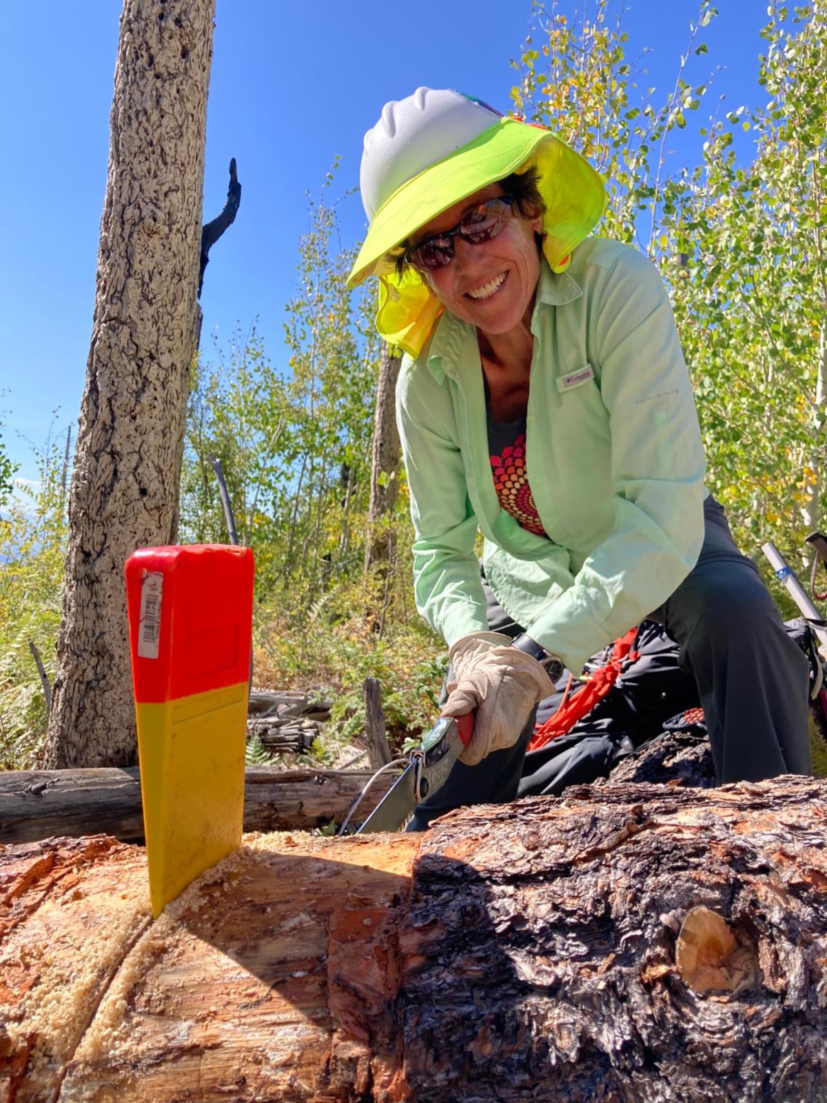
Logging part of the Horse Spring Trail #187


How did you like this email?
Positive        Neutral        Negative

Sign up for our Monthly Gila Trails Newsletter