April Gila Trails Update

In this Newsletter:

- Current Conditions

- Day Adventures

- Backcountry Adventures

- Spring Trail Project Schedule


CDT near Rocky Point

Current Conditions

More Water Updates

Little Spring: water in spring box. Photo


Lilley Park Spring: typical low flow - at .5 - 1 liter per min 


Prior Cabin: DRY


Stove Spring: clear flowing water, but not enough for a bunch of stock. Photo 

Rawmeat Canyon: DRY


Clear Creek Near trail # 30 - Good flowing water 


Hummingbird Spring: only a pool - normally flowing this time of year.

Turnbo & Mogollon Creek Junction


Brannon Park Spring - water on the east side of the corrals - went from decent to murky in one month. Lots of elk traffic.


New to our Water Updates PDF

Photo links are available when they are provided by the water reporter.

PDF must be downloaded from the website for the links to work.


For more water updates: Water Updates - Gila Trails Info

Local Outdoor Rec Update


Record funding appropriated for Outdoor Recreation in New Mexico.

$15.6 million for outdoor recreation and infrastructure:

Read the press release


-------------


The federal Great American Outdoors Act funding has been unfrozen for the Gila Back Country Horsemen. We extend our gratitude to everyone who supported us in continuing our trail work during the freeze. Thank you!


-------------


Gila National Forest Service Trail Crew (Silver City, Glenwood and Wilderness) was rehired but only 2 of the 6 have returned. The others found other jobs. This is a huge hit for the many miles of trail in the Gila that need attention.


Stage 2

Fire Restrictions in the Gila

Coming soon


Stage 2 Fire Restrictions are starting soon

End of April or beginning of May


Here is the fire weather update for the week of April 17th


Grant and Catron County are also in fire restrictions


Please be responsible.


Questions about Fire Restrictions in New Mexico,

Check out the ENMRD's Find Current Fire Restrictions

New Mural in the Gila Area

Any idea where this new mural is located?

New Forest Service Video Series

"Pack Stock Low Impact in the Backcountry"

Addresses topics such as:

  • Camp selection
  • Highlining, corral set up, picketing and hobbling in the back country
  • History and Culture
  • Stock and Rider Conditioning
  • And more


Watch Videos

Adventure at your own risk.

Trail conditions change.


Recreate Responsibly

Day Adventures

Adventures From Rocky Canyon Campground

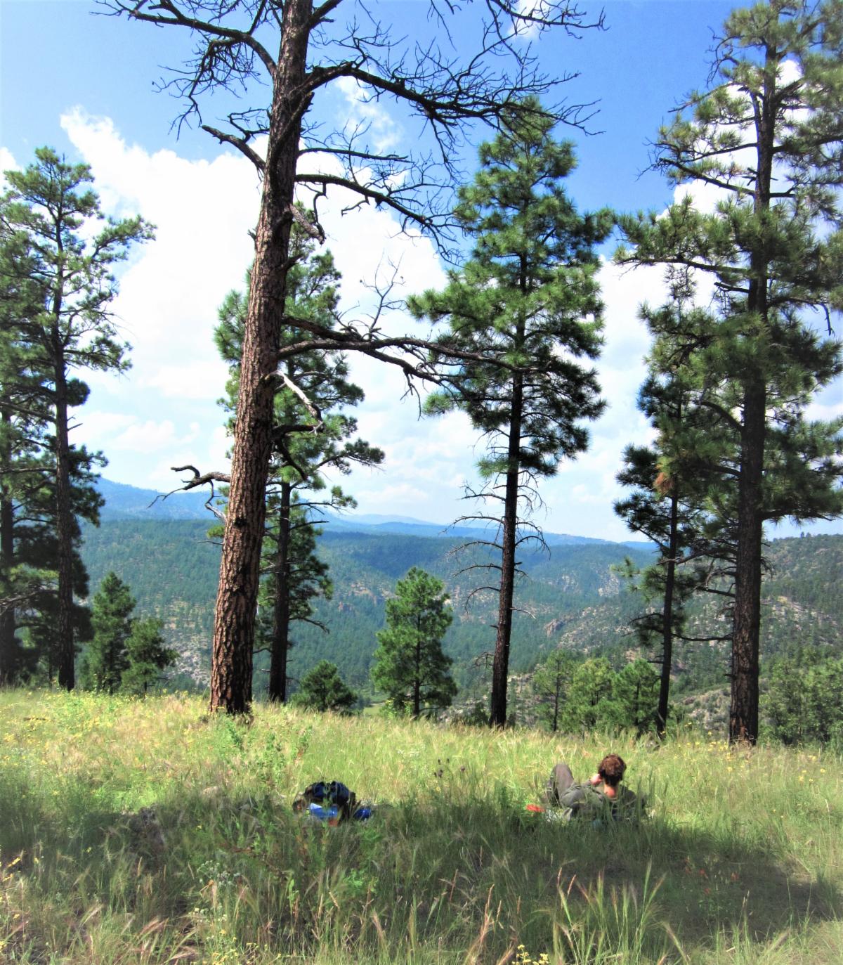
The Forest Service Rocky Canyon Campground is a great place to enjoy a few days with adventure options in multiple directions. The camping includes a clean pit toilet (at least every time I have been there) and a shaded camping area.

It is located off the FS Rd 150, a dirt road with steep grades and a few tight turns. It is in good condition now and could be driven carefully to the campground in a low-clearance vehicle. But this is not always the case.


Day Adventure Options.........


The Caves Trail


Map

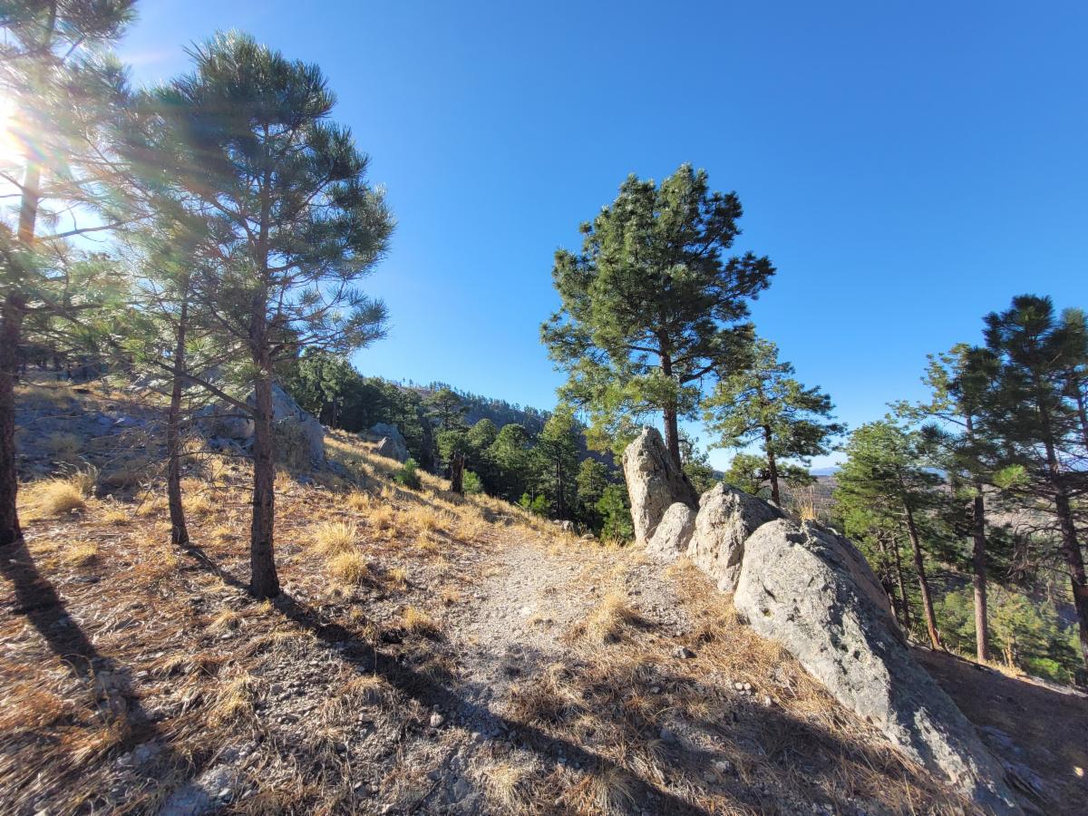
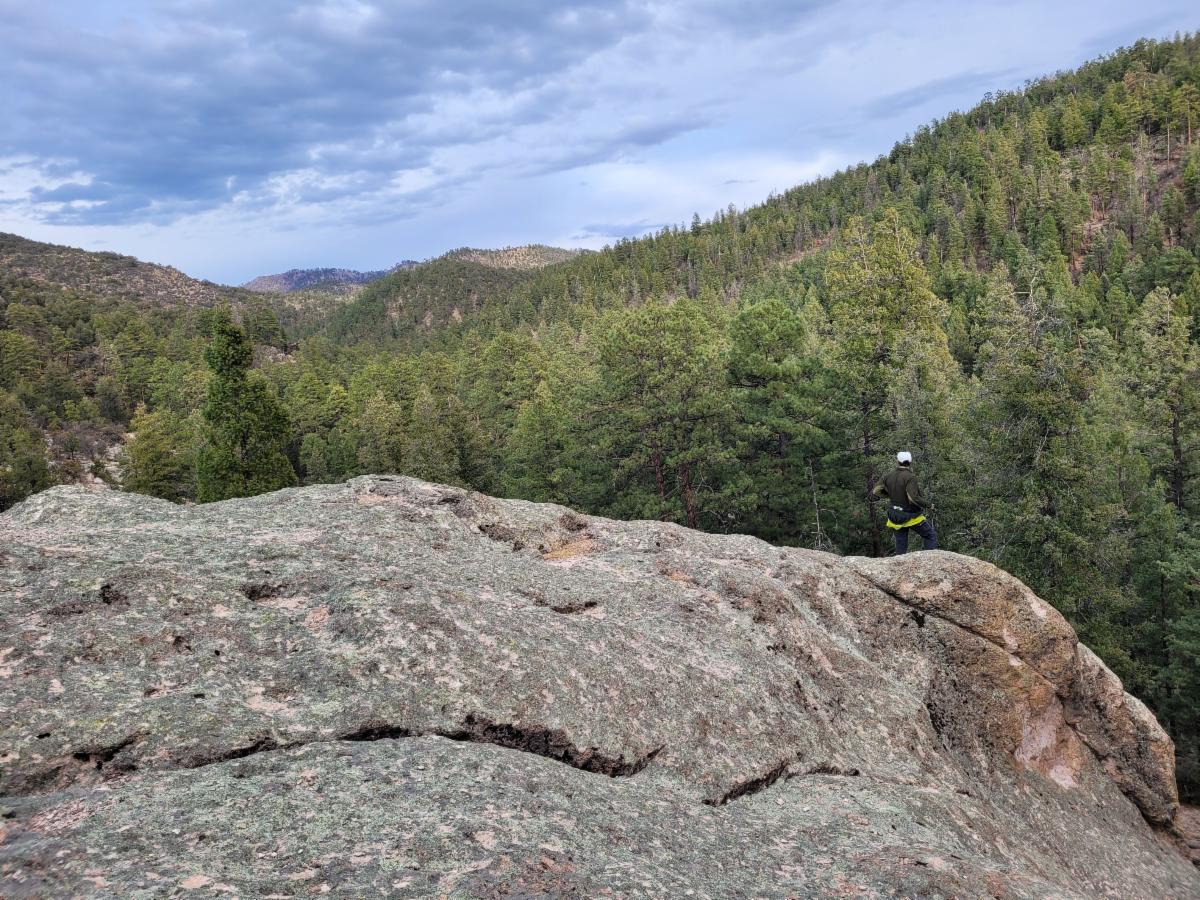
Take #700 for a short distance and then travel down the Caves Trail, which follows Rocky Canyon. There is no sign at the junction and no trail tread initially. This trail is not maintained, but bits of tread can be found along the way. It is hard to get lost since it stays in the canyon. Don't let this deter you. It is worth it.


Note: the map trail line is a general trail location. The caves trail can also be found on the FS Gila Wilderness Trail Maintained Map.


This adventure is highlighted in Hiking New Mexico's Gila Wilderness

There are various alcoves about 0.8 of a mile after leaving #700. One can continue exploring down canyon another 0.3 of a mile, where more caves are visible. Please leave the area as you find it.


CDT North


Map

Travel out #700 and turn north on the CDT to a high vista with Ponderosas.


CDT South


Map

Travel out #700 and turn south on the CDT to Brannon Park where large Ponderosa Trees and open meadows abound.

CDT to Signboard Saddle


Map

Drive a few miles further to where the CDT crosses RD 150 and travel on the CDT north towards Signboard Saddle.

Backcountry Adventures

Aeroplane Mesa & Loco Mtn Loop

This loop starts at the Aeroplane Mesa Campground on the Gila Wilderness' north side.


Learn more about this loop in the link

.

Although it spans only 10.5 miles, this loop offers multiple adventure options while camping along the Middle Fork.


Some of these include:


• Downstream on the Middle Fork Trail towards Flying V Canyon


• Trotter Trail to Clear Creek


• Clayton Mesa Trail to Clayton Mesa and the meadows off of the Cooper Trail


• Iron Creek Mesa Trail to the ponderosa mesa above Iron Creek.


Trail Info & Map

Join Us on a Trail Project in 2025

1 More Spring Trail Project

CDT in Brannon Park & Big Timber Trail # 95 

Project Details


Date:  April 28 to May 2, 2025  


Trail Work: mostly brushing with some spot tread and trail markers


Project Difficulty: Moderate


Map:https://caltopo.com/m/NJP6C


Hiking/ riding during the day: 6.5 miles round trip


Note: ALL May Trail projects have been canceled due to the high fire danger and predicted hot, dry weather.


Our Fall Trail Project Schedule will be available by early July

Enjoy Gila Trails!

View near the Caves and Rocky Canyon Campground

Donate