October Gila Trails Update

In this Newsletter:

- Current Conditions

- Day or Multiday Adventure

- Backcountry Adventures

- Updated Trail Project Schedule

- New Day Project


Holt Apache Trail # 181

Current Conditions

Fire Hazards and Drying Trend

The Gila is now in high fire danger status.


As night temps cool and more people have campfires, the fire danger increases. The grass has dried out and is brown. With little rain in the past month, makes the situation even worse.


Please put out your campfires.


If you want more details

and like graphs, check out the data from the Forest Service

Sticker season

With everything drying out and flowers turning to seeds, stickers abound, making travel through the Gila uncomfortable.


Gaitors can make a big difference in keeping the stickers from covering your socks.

I like the Dirty Girl Gators

because they are small, lightweight, durable, and have many color/pattern options.


Grant County Comprehensive Plan


Help us shape the future of Grant County.

Please take a survey (see link below) and/or join in the community meetings on Oct 11 &12th.


For more info:

HOME | Grant County Plan (grantcountycompplan.com)


Why participate?


"The Grant County Comprehensive Plan 2045 will serve to guide decisions, forecast economic development, and inform future decisions. The new Comprehensive Plan entails careful consideration and evaluation of the County's needs. This plan will address the County's short and long-term goals and priorities, as well as economic development components that provide realistic tools for growth, development, and redevelopment."


Adventure at your own risk.

Trail conditions change.


Recreate Responsibly

Day Or Multiday Adventure?

Holt Apache Trail # 181

Photo Credit: Dave Turner

Photo Credit Marc Tarnosky

Day Trip Option

This is an out-and-back, so you can turn around whenever.


Starting at Sheridan Corral Trailhead, the #181 trail drops into the creek and travels along it before climbing up to Holt Spring.


It leads to expansive views near Holt Mtn (about 5 miles) and beyond to the junction with South Fork Whitewater (another 3 miles).


The aspens start soon after Holt Mountain.


The first 4.5 miles were logged but not brushed. Passable, but pants may be preferred. After that, the trail was logged and brushed to South Fork Whitewater.


Hikers: hiking poles are advised due to the steepness of the trail. Save your knees.


Equine users: Be advised that some sections of the trail have narrow tread on steep hillsides.


Photo Credit: Dave Turner

Overnight Option

Amazingly enough, despite our current drought, there is a spring running just below the top of Holt Mountain.


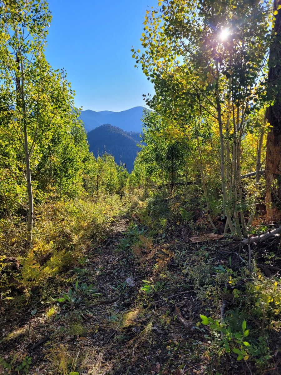
This increases opportunities for overnight adventures. Holt Spring is at the junction of #181 and the non-existent #217 trail.


Near the spring, are two small flat areas. The one nearest the spring has a huge dead snag overhanging the flat. Camp there at your own risk.

The other option is a one-minute walk west on the Holt Apache Trail. You will see another area with small flattened tent spot options.


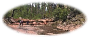
Holt Spring was running well as of September 27th. Besides running over the trail, there is a pipe up near the old well house.


One option is to camp in this area and then day hike to South Fork Whitewater, or even continue down South Fork Whitewater Trail #212.


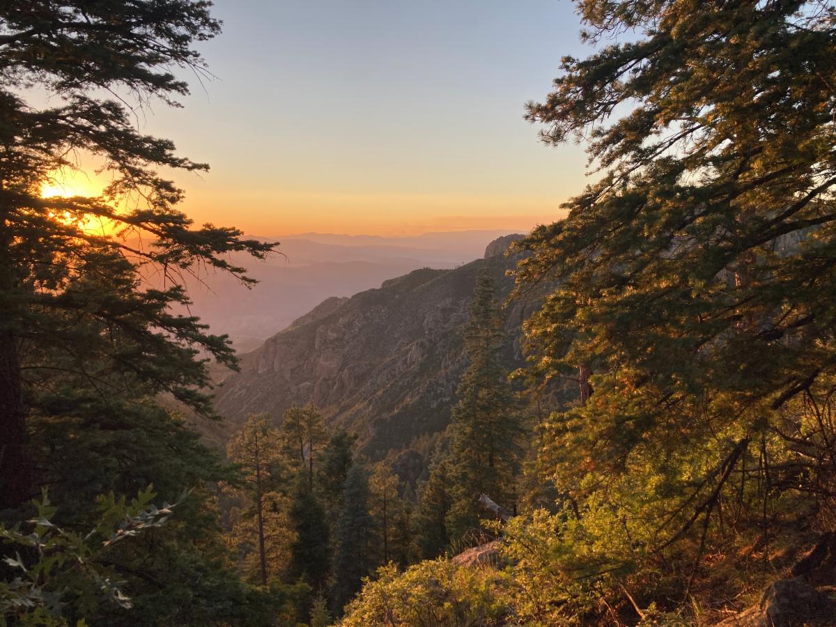
South Fork Whitewater notes: A half-mile section of the trail is in poor condition near the junction, but there are plans to work on this section in late October. Beyond that, the trail is brushy but has been logged. It is a beautiful canyon.

Also, the junction of #212 and #181 is at the saddle and not where it is shown on most maps.


As an exciting side note: The AZ Wild Crew is working on the east side of # 181 from the Crest Trail #182 toward Apache Cabin thanks to funding from the awesome New Mexico Outdoor Rec Division Trails+ Grant.

One day, we can travel all the way on the # 181 trail!

For more info:


Trailhead to Holt Spring


Holt Spring to South Fork Whitewater

Interactive Map

Backcountry Adventures

Where there is water...

The critical component to this fall's Gila adventure planning is water.

Of course, there is water in the Middle Fork and West Fork.


Multiple trails cut down to these rivers, making it possible to travel cross-country but still camp at the water.


Other places that have recently reported water:

  • the creek around Little Springs,
  • Rawmeat Canyon
  • Holt Springs
  • 1/2 mile down the South Fork Whitewater Trails from the junction with # 181
  • in Turkey Creek, downstream from Miller Springs Canyon
  • Miller Springs Tank (although probably doesn't taste good)
  • Prior Spring

Travel at your own risk and always have a back water option. Conditions can change.

Join Us on a Trail Project in 2024

Updated Trail Project Schedule

 Backcountry Projects

(Lower) Turkey Creek Trail #155

Project Details

Dates: Oct 21-26, 2024


Trail Work: Brushing, logging, trail marking, and spot tread work.


Project Difficulty: moderate


Map: https://caltopo.com/m/K112M5T


Backpack to the basecamp: 6.75 miles


Hiking during the day: up to 6.5 miles 

New Day Project

Brushing from Woody’s Corral Trailhead to Little Creek

Project Details

Dates: Nov 19th


Trail Work: Brushing


Project Difficulty: easy work, moderate hiking


Map: https://caltopo.com/m/LUJD8QP


Hiking during the dayBetween 6 and 8 miles depending on individual interest level in hiking to Little Creek or turning around at the earlier junction. 

Stay Tuned for our Spring Trail Project Schedule


Questions or to RSVP: groundworktrails@gmail.com


Enjoy Gila Trails!

Donate