|
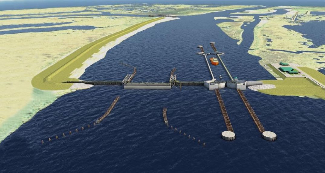
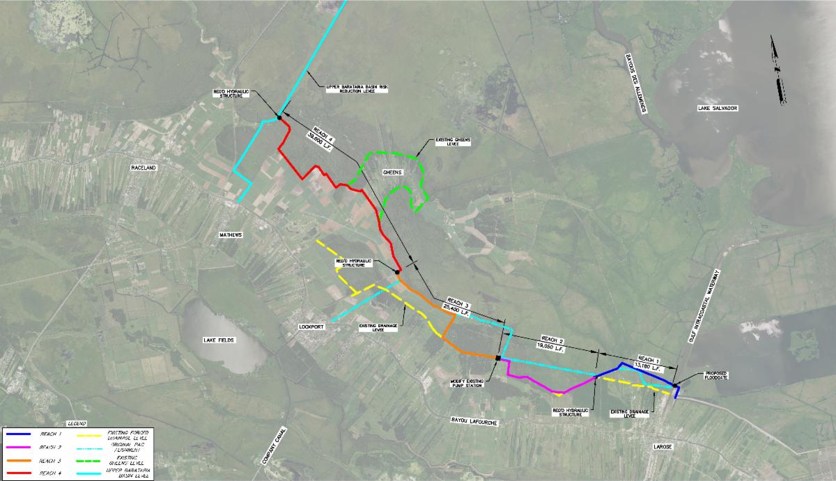
After careful consideration and in cooperation with navigation and local interest, the U.S. Corps of Engineers (USACE) has been able to pin down the location of the 225-foot eastern Gulf Intracoastal Waterway Floodgate as part of the Morganza to the Gulf alignment as shown on the right side of the map above. The USACE is now working to lock down alignments of the levees on both sides of this gate.
In South Lafourche, the USACE is considering alignment alternatives to best tie into the South Lafourche Levee System. The Corps has been working with the North Lafourche Levee District to refine the Post Authorization Change (PAC) Report alignment to complement locations of existing levees and avoid conflicts with pipelines and other infrastructure in addition to minimizing direct and indirect impacts to wetlands.
"The NLLD has been working for years to improve protection in this area and we have a pretty extensive understanding of just where the levee can and can’t go. The four reaches on the map indicate the location of the NLLD preferred alignment. The original and problematic PAC alignment is also shown for reference. We are hoping to receive a tentatively selected alignment that we can use to continue our local build-out of this system before the end of the year," explains NLLD Executive Director Dwayne Bourgeois.
|