|
By Natalie Ballew, P.G., TWDB Groundwater Division Director
Welcome to the Texas Water Development Board’s very first Groundwater Gazette—your gateway to what’s going on in the TWDB Groundwater Division. We’re excited to bring you quarterly tidbits, including projects we’re working on, tips and resources for everything from groundwater data to management plans, and staff highlights to introduce you to our team. Thanks for tuning in!
About us:
The TWDB Groundwater Division’s mission is to collect, interpret, and provide accurate and objective information on the groundwater resources of Texas to share with citizens, groundwater resource managers, policy makers, and law makers. We’re responsible for all aspects of groundwater studies in the state, including monitoring water levels and quality in the state’s aquifers, characterizing brackish aquifers, maintaining and producing groundwater data, and conducting regional-scale aquifer modeling. The division also provides impartial guidance to local groundwater conservation districts as they develop groundwater management plans and engage in water planning for the future.
| |
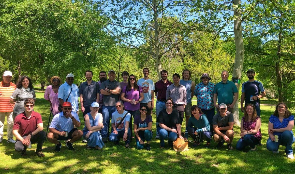
Groundwater Division staff | |
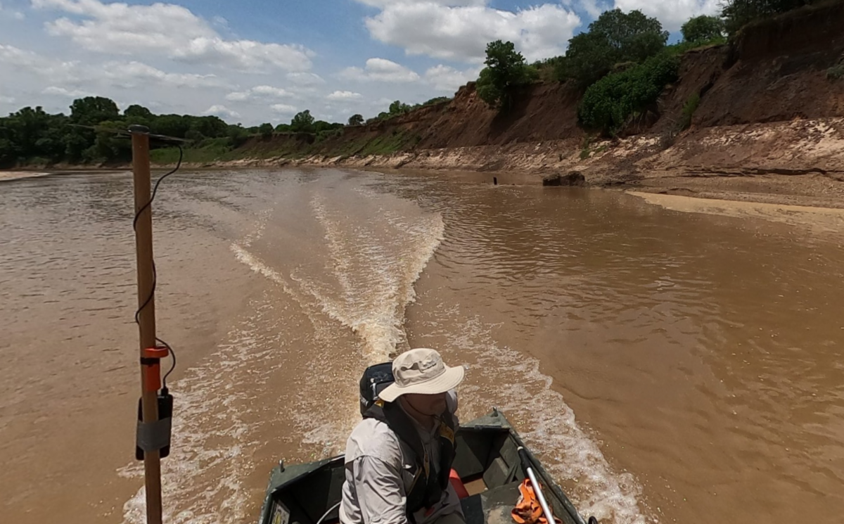
Brazos River Groundwater-Surface Water Interaction Study | |
Understanding interactions between groundwater and surface water is important to improve the usefulness and accuracy of groundwater availability models. The TWDB Groundwater Modeling Program is funding a study along the Brazos River to investigate groundwater-surface water interactions using remote sensing techniques. Aqua Strategies is currently conducting field work along the river, installing temporary stream gages to capture changes in river discharge and thermal sensors to estimate groundwater discharge or recharge by analyzing temperature profiles along the streambank. These stream gages and thermal sensors will be deployed to capture daily records from August through November. At the same time, Aqua Strategies will be flying a state-of-the-art drone to capture the overall terrain, channel width and slope, and temperature. Using these two methods will allow us to estimate the hydraulic gradient between the river and the aquifer.
For more information on this project, reach out to Daryn Hardwick, Groundwater Modeling Manager, at daryn.hardwck@twdb.texas.gov.
| |
|
Aqua Strategies staff cruising down the Brazos River to evaluate potential study sites.
Photo courtesy of Aqua Strategies, Inc.
| |
|
The Brackish Resources Aquifer Characterization System (BRACS) Department recently published the East Sparta aquifer brackish groundwater study, the sixth edition of the BRACS Data Dictionary, and an updated version of the BRACS public database to accompany the dictionary. In September 2022, we completed a study for the southern portion of the Trinity Aquifer and are working on proposed brackish groundwater production zone (BGPZ) designations for that aquifer. An invitation to a stakeholder discussion of the proposed BGPZs will be coming this fall.
Upcoming Projects
This summer, we solicited project suggestions from stakeholders and received 11 great ideas! Some of the projects overlap with ongoing efforts and/or future BRACS studies, but we received a great list of ideas to pull from now and in the future.
Over the next two years, we’ll be contracting work to complete BRACS studies for the Llano Uplift and Yegua-Jackson aquifers, collecting field data from a pilot well in a BGPZ or associated with a water management strategy, and storyboard creation for a selected BRACS study.
| |
Water Level Season Kickoff | |
Groundwater Monitoring staff will begin measuring annual groundwater levels in October. Monitoring will start in Central Texas and continue statewide through February 2024. When we plan for water level season, we evaluate both TWDB and cooperator groundwater level monitoring activities in specific aquifers and counties to better target agency resources in areas where increased monitoring may be needed.
Staff will continue to notify groundwater conservation districts ahead of planned trips. District participation is encouraged, and this is a great opportunity to connect with our staff and discuss monitoring collaboration and training needs. Please contact Cody Bjornson, Water Level Program Coordinator, at cody.bjornson@twdb.texas.gov with any questions.
| |
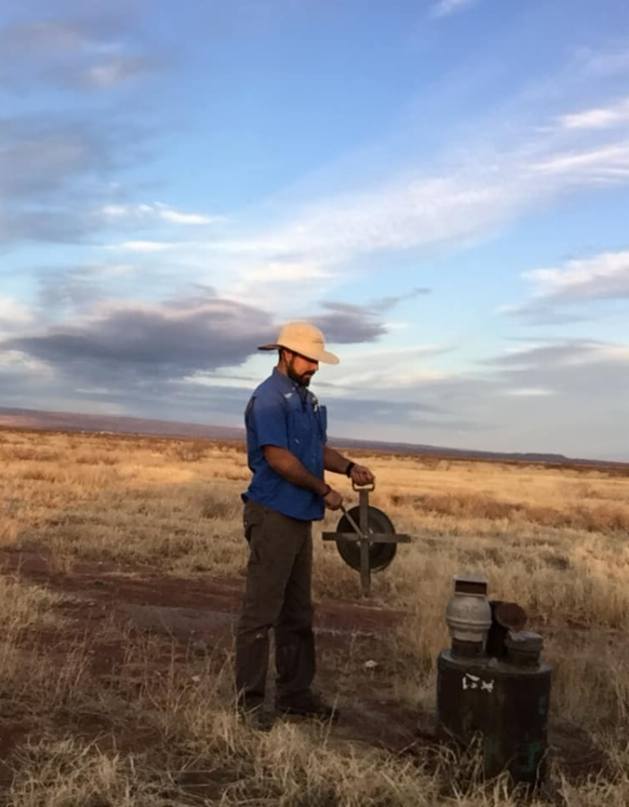
Phillip Valladolid taking a water level measurement in Culberson County | |
|
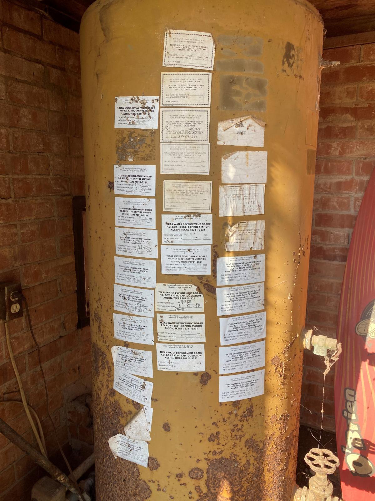
Henderson County well house with stickers indicating water level measurements taken by TWDB staff since 1976.
Photo by Colt Kernan
| |
|
The TWDB operates an automatic groundwater level recorder well program in partnership with our cooperators. The program has grown quickly, and we’d like to thank all our cooperators—we could not achieve our network coverage without your support. We are always looking for new candidate sites to transmit groundwater level data in real time, especially in counties without recorder well coverage, and there are funding opportunities available to districts from the TWDB and the United States Geological Survey (USGS).
Our team currently consists of three staff members, with an additional position coming this year. We are working to update our training and program documentation and are available to provide training, assistance, and answer any questions on recorder well operations and equipment. Please contact Andrew Weinberg, P.G., Recorder Well Program Team Lead, at andrew.weinberg@twdb.texas.gov to get started.
| |
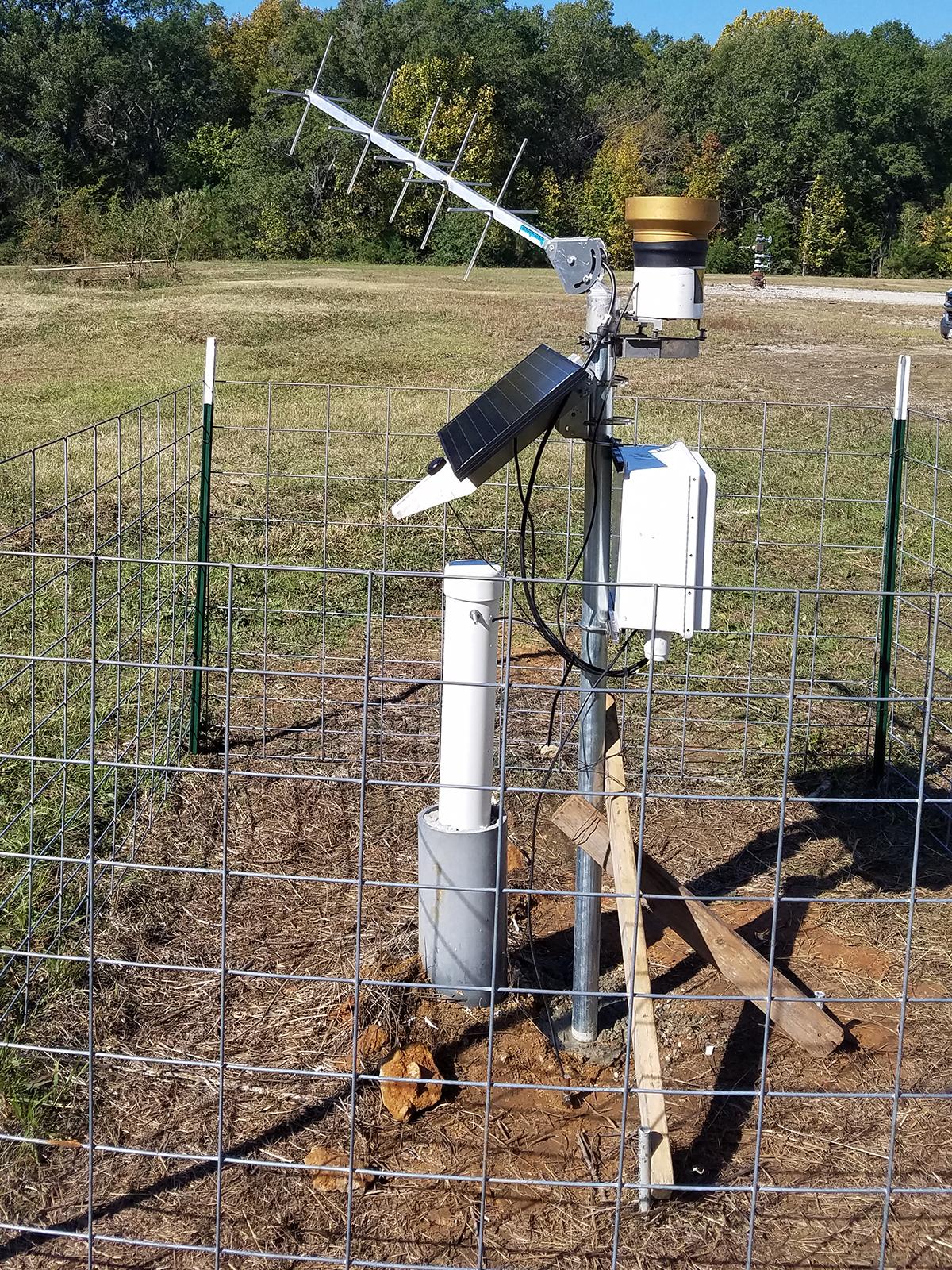
|
Recorder well equipment installed on a well in Panola County.
Photo by Andy Weinberg
| |
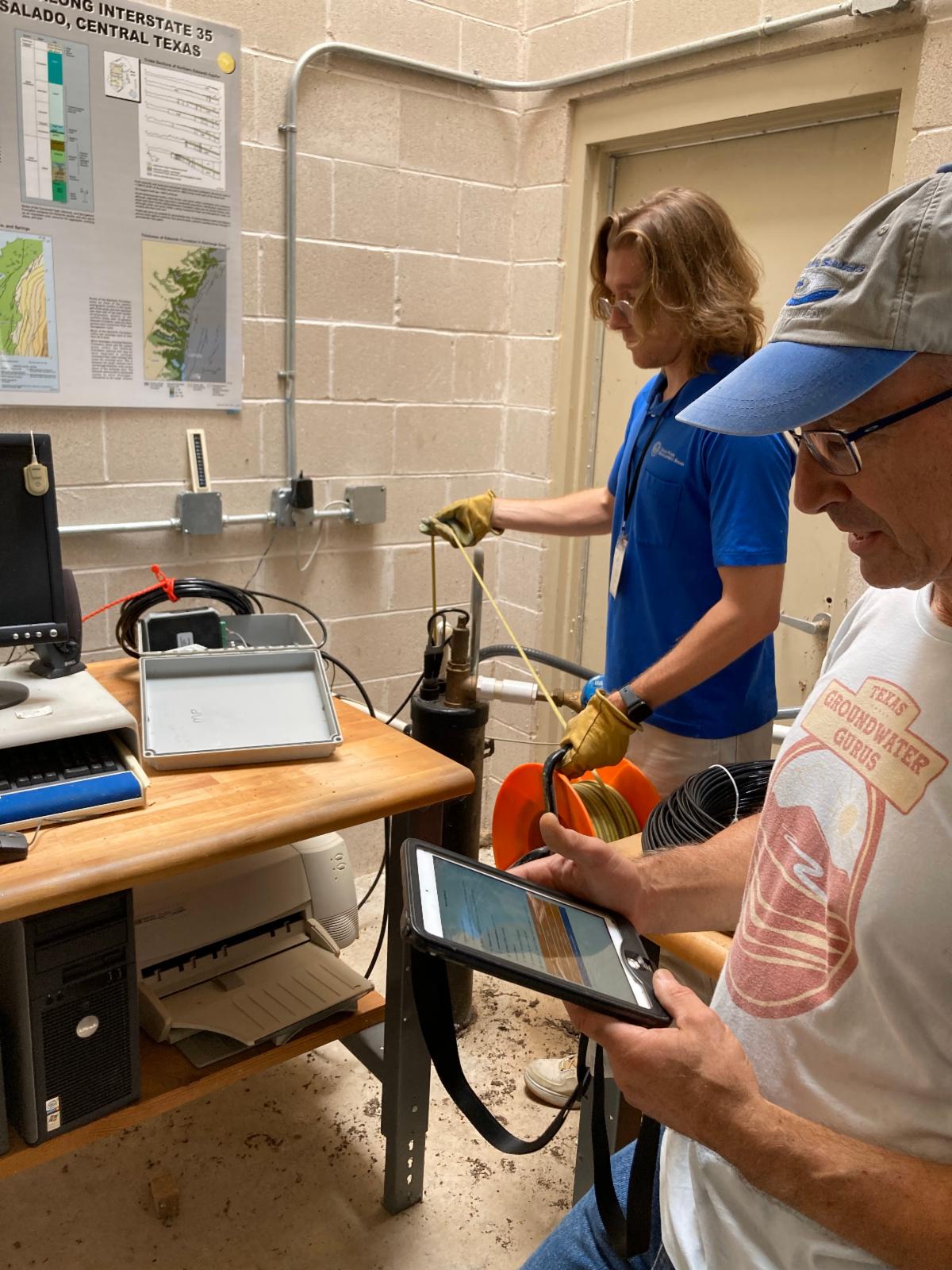
|
Colt Kernan and Andrew Weinberg demonstrating water level measurement techniques at a Texas Alliance of Groundwater Districts Business Meeting.
Photo by Omar Maldonado, Guadalupe County Groundwater Conservation District
| |
Groundwater Management Plans | |
|
Groundwater conservation districts are required to submit management plans to the TWDB for administrative review and approval every five years. We strongly recommend that groundwater conservation districts submit plans for pre-review much sooner than the management plan expiration date. In a pre-review, we work with groundwater conservation districts to help create a robust, error-free, and administratively complete plan. These are the most common issues we see in management plans:
Proofreading
We encourage all groundwater conservation districts to do a thorough review, update, and proofread of draft management plans prior to submitting to the TWDB for review. We often see plans include data that needs to be updated or that are not sufficiently proofread, consequently leading to items that may be administratively incomplete.
| |
|
Pre-review recommendation reports
We provide summaries during the pre-review process to point out changes needed for administratively complete plans and offer suggestions to make a more readable plan. Using pre-review recommendation reports is a sure-fire way to guarantee an administratively complete plan.
| |
Staff Highlights - Groundwater Data Team | |
|
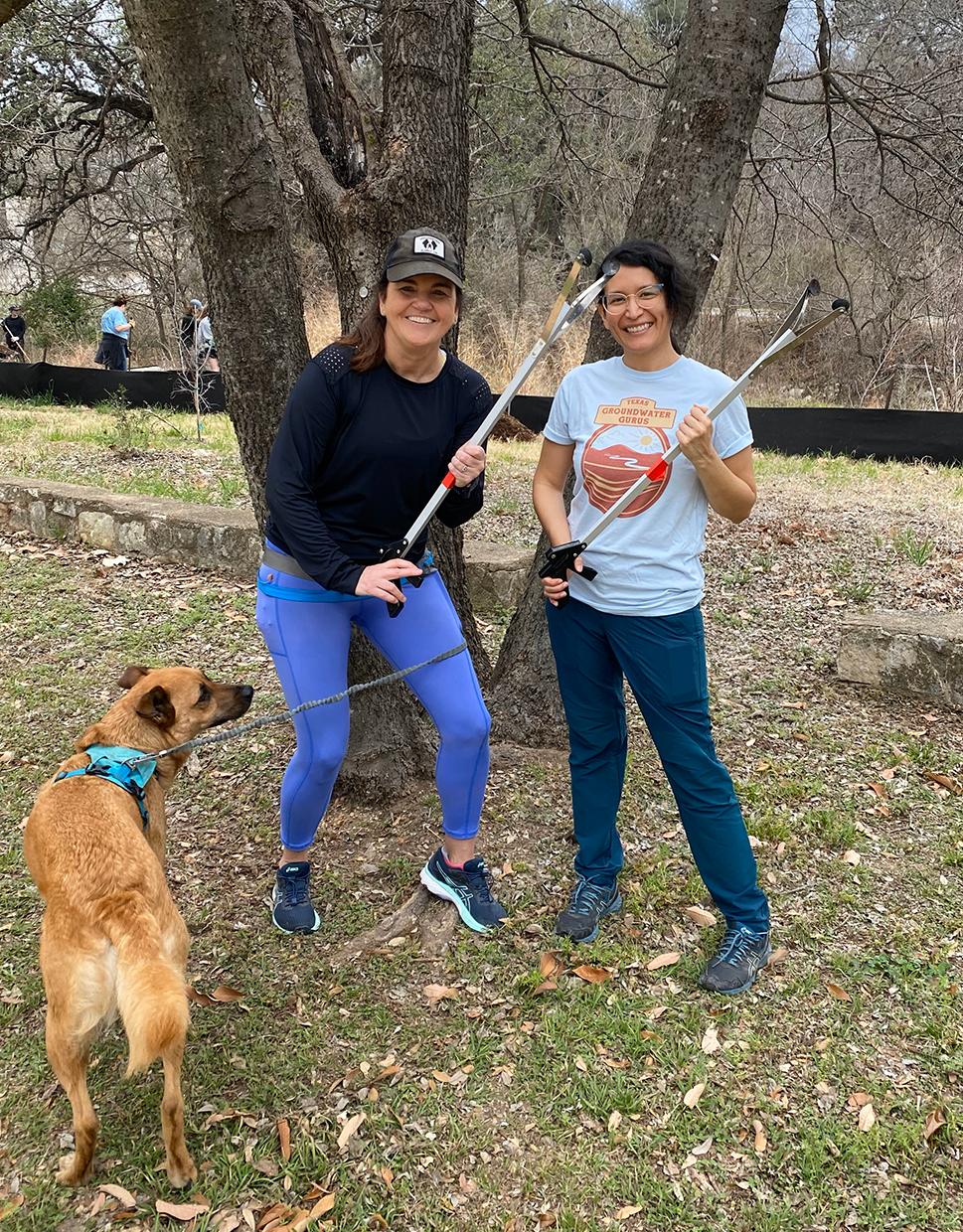
Meet the members of the TWDB Groundwater Data Team, Heather Dodson and Amy De Luna. Heather joined the TWDB in 2006 as part of the Groundwater Monitoring field staff, collecting water level and water quality data. She helped create the Groundwater Data Team in 2012, of which she is now the Team Lead. Amy joined the TWDB as a Data Analyst for the Groundwater Data Team in 2019 and, as part of her duties, she oversees the collection of more than 50,000 water-level measurements a year from our cooperators.
When they’re not managing groundwater data for the TWDB, you can find Heather camping, hiking, or paddling with her dog, Peyton. And Amy likes riding her bike around Austin, rock climbing, and trying new recipes in the kitchen.
| |
Heather Dodson and Amy De Luna volunteering to clean up Pease Park in Austin | |
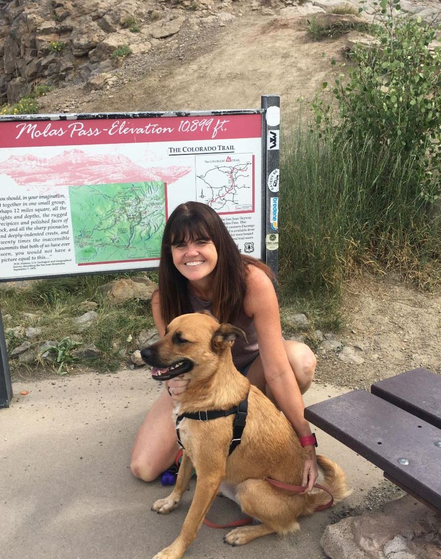
Heather Dodson and Peyton in Durango, Colorado | |
Were you forwarded this email? Click here to join our mailing list. | |
Leading the state's efforts in ensuring a secure water future for Texas. | | | | |