|
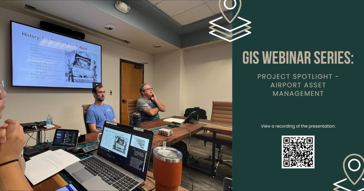
Our very own Operations Superintendent, Aaron Arguien, was invited by the City's GIS Department to participate in their Webinar Series: More Than Maps! on June 26th.
With the assistance of mapping wizards Daniel Wanke, Christie Robinson, Emilee Freeman, and Jessica Neuner, Aaron was able to educate City staff on how the airport utilizes the ArcGIS platform to track numerous operational items like airfield lighting, wildlife sightings, facilities/hangars, and more!
He also provided a bit of interesting airport history to kick of the presentation - worth the watch alone!
If you're interested in watching the 30-minute presentation yourself, click the header above or use the QR code.
Thank you to the entire GIS team for this great opportunity and we sincerely appreciate everything you do! (And we love that airport shirt, Daniel!)
|