|
LiDAR vs. Photogrammetry: Which One Do You Need?
The LiDAR versus photogrammetry debate often misses the most important question: What are you trying to measure?
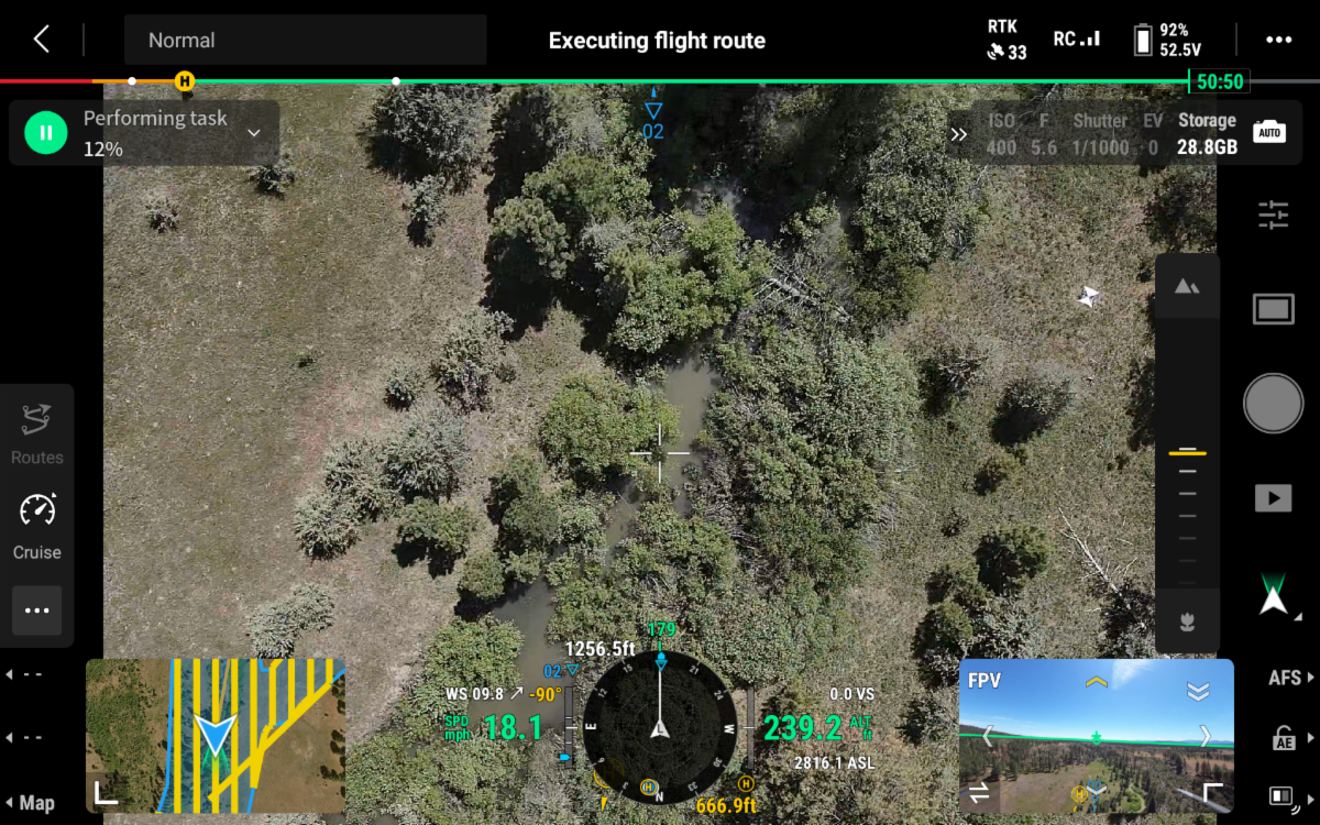
Photogrammetry is an excellent tool for visual mapping, orthomosaics, and visible-surface measurements. LiDAR becomes the stronger option when you need bare-earth terrain, drainage analysis, floodplain mapping, cross-sections, or ground conditions beneath vegetation.
In many restoration, agriculture, and natural resource projects, the best solution isn't choosing one technology over the other—it's understanding what surface model and deliverables the project requires.
I've put together a product-neutral field guide that explains the strengths, limitations, and practical applications of both technologies, along with guidance on DEMs, DTMs, DSMs, validation workflows, and restoration mapping best practices.
WANT TO LEARN MORE?
Download the full LiDAR vs. Photogrammetry for Restoration Mapping guide and discover how to select the right tool for your next project.
|