GeoCatch acknowledges the Wadandi Saltwater people, the Traditional Owners of this land, and recognise their continuing connection to lands, waters and communities. | | The latest sustainable farming news from GeoCatch | | |
Djilba has kicked off across the South West, and farmers are already feeling the shift - wildflowers starting to pop, cold mornings hanging on, and paddocks still carrying the signs of a dry winter that didn’t quite deliver.
Love to hear what's happening on your patch, so please share your stories and photos!
| | |
Dry Winter, Hot Dry Summer Ahead:
Prepare your Feed Plan Now!
| |
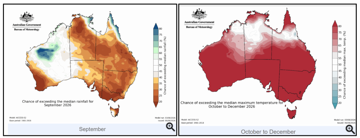
The Bureau of Meteorology says its winter 2026 seasonal summary shows the South West set new records amid well below-average rainfall. Busselton recorded its warmest winter day on record, reaching a maximum of 24.3 degrees Celsius.
Water Corporation figures showed the region's dams were nearly 18 per cent lower than at the same time last year.
The warm and dry conditions are expected to continue through spring and summer, with an increased likelihood of higher temperatures and below‑average rainfall across much of the South West.
This combination means pastures will dry off earlier, summer feed may be limited, and producers may face tighter feed availability heading into autumn. With these dry seasonal conditions expected, now is the time to get ahead of your feed requirements for summer and autumn.
Preparation is Key!
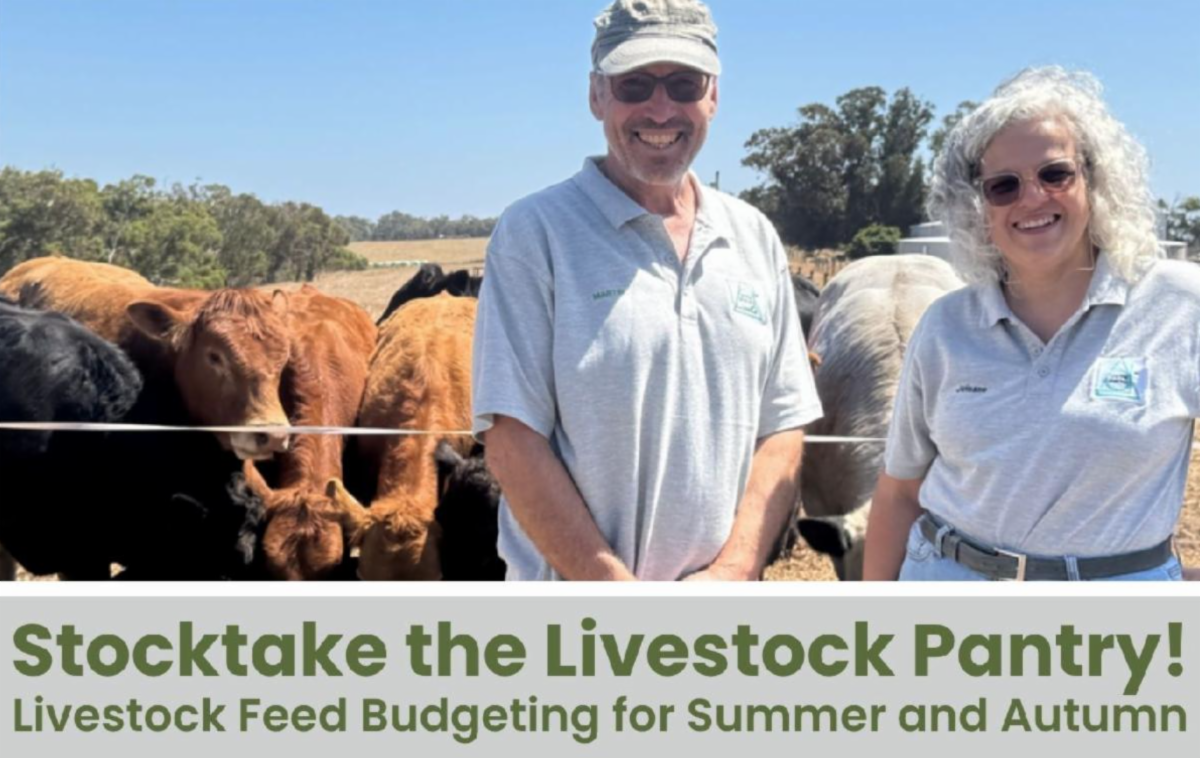
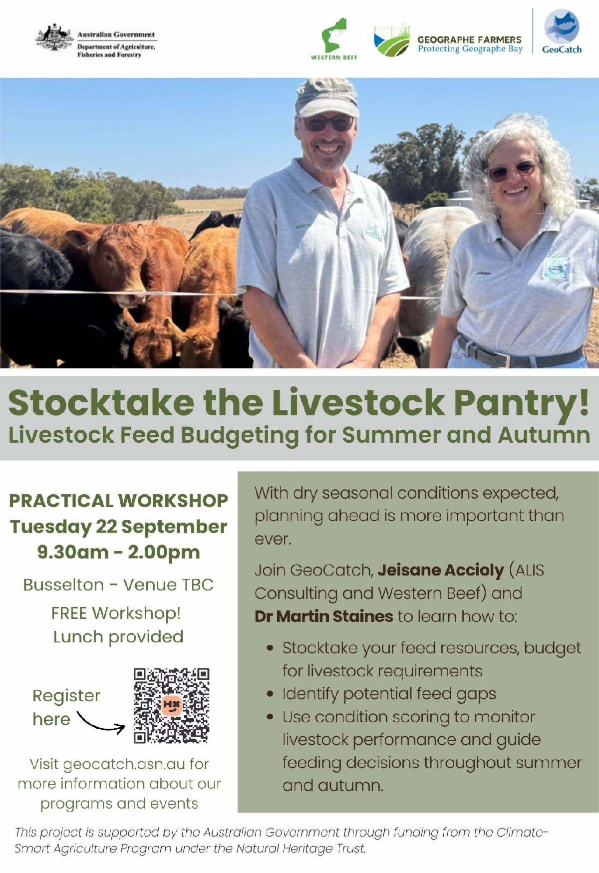
GeoCatch is hosting a practical workshop next Tuesday 22nd September designed to help producers assess feed availability, estimate livestock demand, and plan with confidence.
| |
In this session, experts Jeisane Accioly (ALIS Consulting and Western Beef) and Dr Martin Staines will help landholders identify feed gaps early and make informed management decisions to maintain livestock productivity through this potentially challenging dry.
The workshop will cover:
- Feed budgeting for summer and autumn
- Assessing feed supply and livestock requirements
- Identifying and managing feed shortfalls
- Livestock condition scoring and its role in feeding decisions
- Strategies for livestock health and business resilience during dry periods
| This program is supported by the Australian Government through funding from the Climate-Smart Agriculture Program under the Natural Heritage Trust. | Are Rabbits a Problem on your Property? | |
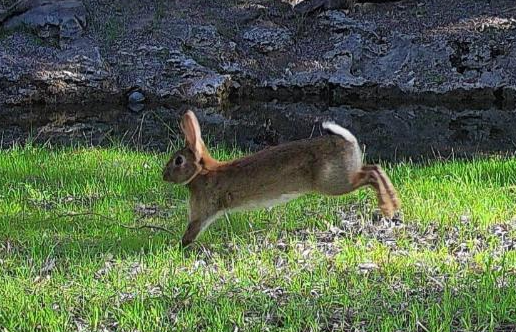
This summer, GeoCatch is partnering with the Leschenault Biosecurity Group (LBG) to deliver a coordinated rabbit control program across the Geographe region.
As part of the program, participating landholders will have the opportunity to take part in the December 2026 release of the K5 calicivirus. While K5 is not a standalone solution, it can significantly reduce rabbit populations and create an ideal window for follow-up control measures, improving the effectiveness of long-term rabbit management.
To support the program, GeoCatch and LBG will host a Rabbit Control Workshop in mid-November. The workshop will provide information on the K5 release, integrated rabbit management strategies, and practical control techniques that can help landholders protect agricultural productivity and environmental values.
If rabbits are causing problems on your property, we encourage you to submit an Expression of Interest (EOI) using the form below.
Please note that submitting an EOI does not guarantee participation in the program.
| Farm Dam Restoration Transforms Landscapes | | |
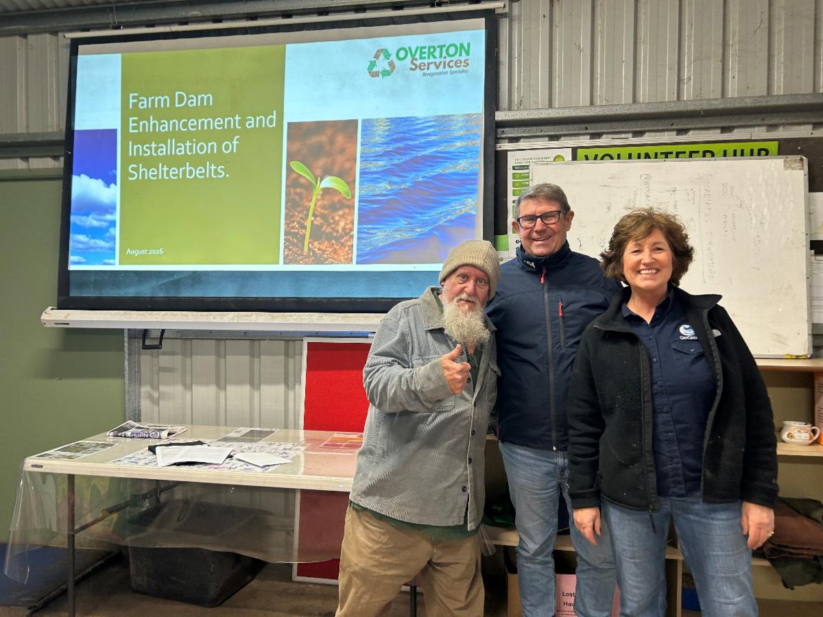
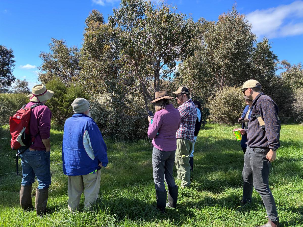
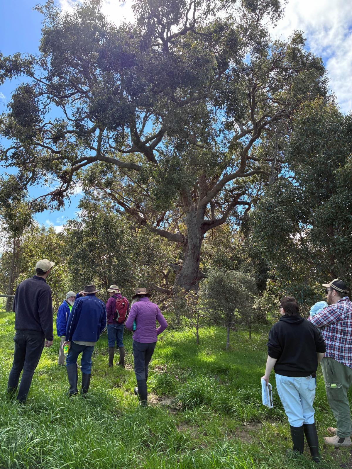
Last month, GeoCatch hosted a farm dam rehabilitation workshop showing landholders practical tools in how revegetation can transform farm landscapes, particularly dams .
Restoration expert Greg Overton shared examples from across the region, demonstrating how revegetation can improve water quality, create habitat for native wildlife and deliver valuable shade and shelter for stock.
“The goal of rehabilitation isn’t just to plant trees, it’s to rebuild functioning ecosystems that support the landscape for generations to come.”
Participants also heard from plant guru, Rod Cary from Geographe Community Landcare Nursery, who spoke about plant species selection that is suited to different soil types, moisture conditions and management goals.
| | This program is supported by the Australian Government through funding from the Climate-Smart Agriculture Program under the Natural Heritage Trust. | | Rowen Reid's Trees that Work | | |
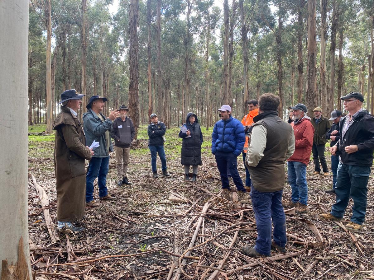
Last month, GeoCatch and the Lower Blackwood LCDC teamed up to deliver 'Trees that Work', led by renowned agroforestry educator Rowan Reid. Rowan is one of Australia’s leading voices in agroforestry and farm forestry, and over two days, presented how trees can be used to build productive, resilient and biodiverse farming landscapes.
Day One introduced participants to the practical side of integrating trees into productive farming systems. The session explored how strategically placed trees can support livestock welfare, improve soil and water management, and strengthen whole‑farm planning for long‑term resilience.
| | Day One was supported by the Australian Government through funding from the Climate-Smart Agriculture Program under the Natural Heritage Trust. | |
From Webinar to Field:
Taking action on Phytophthora Dieback
| | |
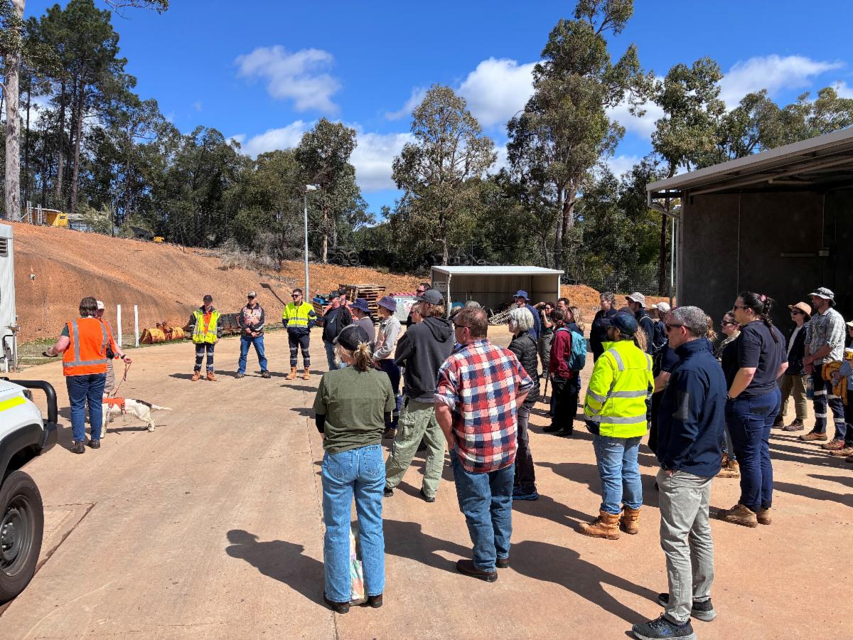
GeoCatch recently hosted a dieback webinar with dieback specialist Bruno Rikli, providing landholders and community members with practical information on recognising, assessing and managing dieback in our landscapes.
As part of our commitment to building resilient farms and healthy ecosystems, GeoCatch also sponsored several local landholders to attend accredited Phytophthora Dieback Green Card Training, helping to increase local skills and capacity to manage this significant biosecurity threat.
Dieback, caused by the soil-borne plant pathogen Phytophthora cinnamomi, is one of the most significant threats to Western Australia's biodiversity and can affect more than 40% of the State's native plant species.
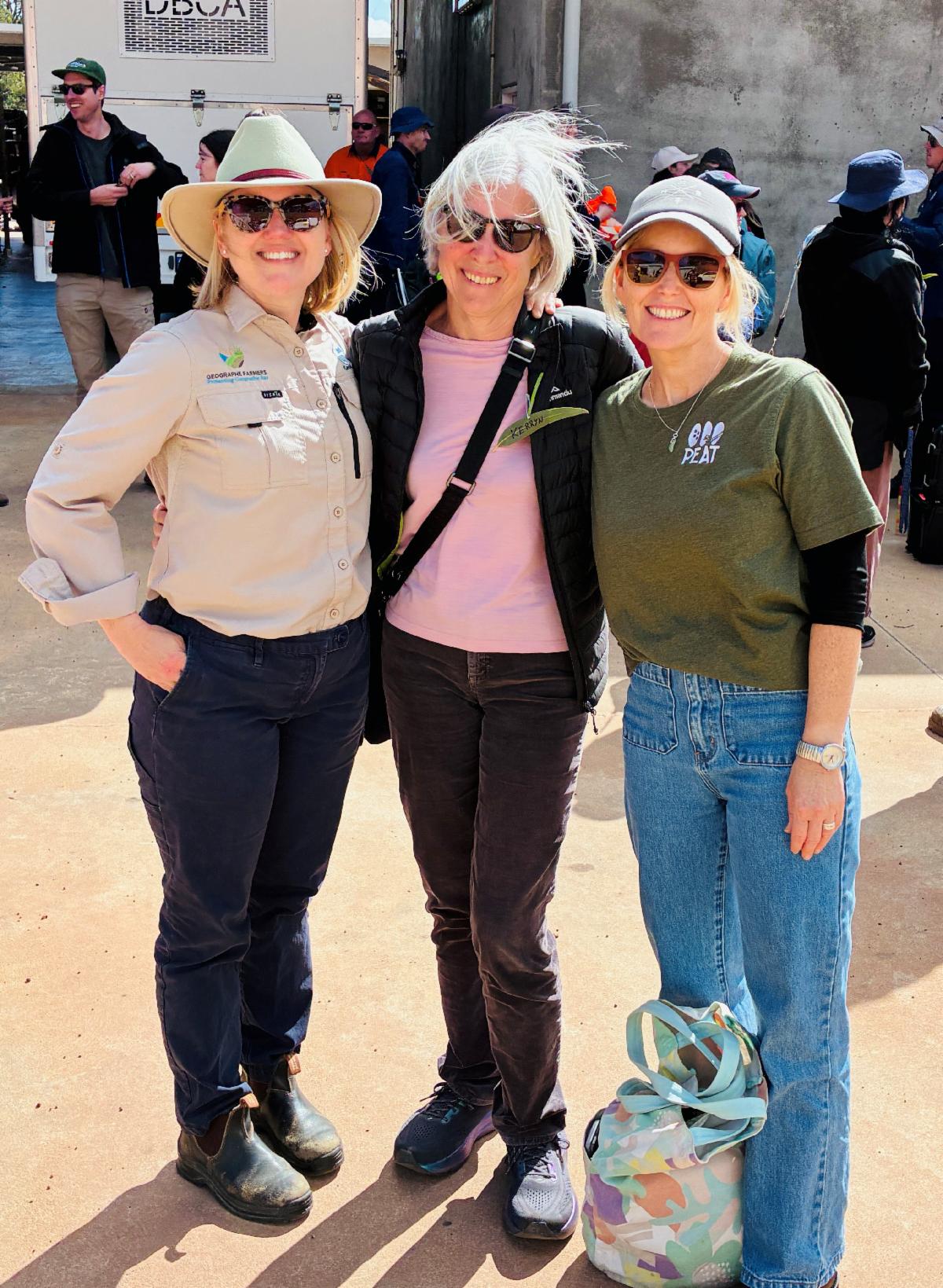
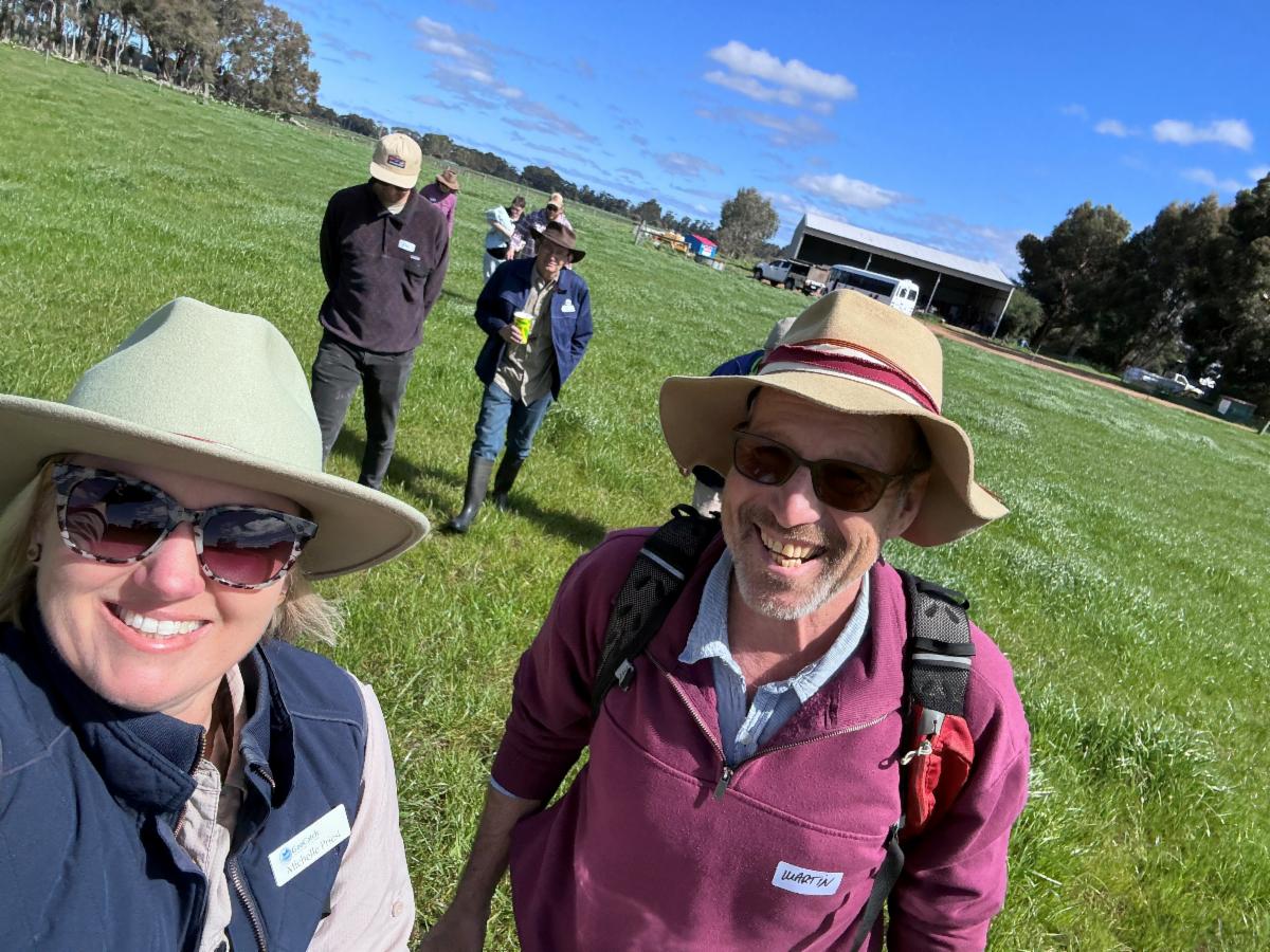
| Above: GeoCatch's Michelle Priest, Carbunup landholder Kerryn Hands and South West NRM's Lorraine Duffy attended the Dieback Green Card Training in Perth HIlls. | |  | |
Xanthorrhoea preissii (Grass tree), Eucalyptus marginata (Jarrah), Persoonia longifolia (Snottygobble), Banksia grandis (Bull Banksia) and Macrozamia riedlei (Zamia Palm) are all commonly recognised species affected by dieback in the South West.
The disease can spread through the movement of contaminated soil and plant material, animals, vehicles and machinery, water moving through surface and subsurface drainage, and direct root-to-root contact between plants. Understanding these pathways is an important step in preventing its spread.
The disease can spread through the movement of contaminated soil and plant material, animals, vehicles and machinery, water moving through surface and subsurface drainage, and direct root-to-root contact between plants. Understanding these pathways is an important step in preventing its spread.
Supported through GeoCatch's Resilient Farms Project, Carbunup landholder Kerryn Hands, was one of several Geographe farmers that attended the 2027 Dieback Information Group Conference.
Kerryn reflected, "The training has made me realise just how serious the impact of dieback can be and how it spreads between locations. I didn't understand how significant water is in transporting spores and contributing to its spread.
It was a fantastic day, and I'm very grateful to GeoCatch for making the training possible. I've come away with a lot of valuable knowledge and on-ground actions that I will start to implement straight away on our property," said Kerryn.
| | This project is supported by the Australian Government through funding from the Climate-Smart Agriculture Program under the Natural Heritage Trust. | | Planning for Waterway Restoration in 2027 | | |
An enthusiastic group of landholders gathered recently at GeoCatch’s Planning Your 2027 Stream Restoration Project workshop at the Geographe Community Landcare Nursery (GCLN).
The workshop, facilitated by flora expert Rod Cary and GeoCatch's Michelle Priest, guided participants through the key steps of planning a successful restoration project, from setting goals and restoration planning through to native species selection, site preparation and practical planting techniques to help ensure long-term success.
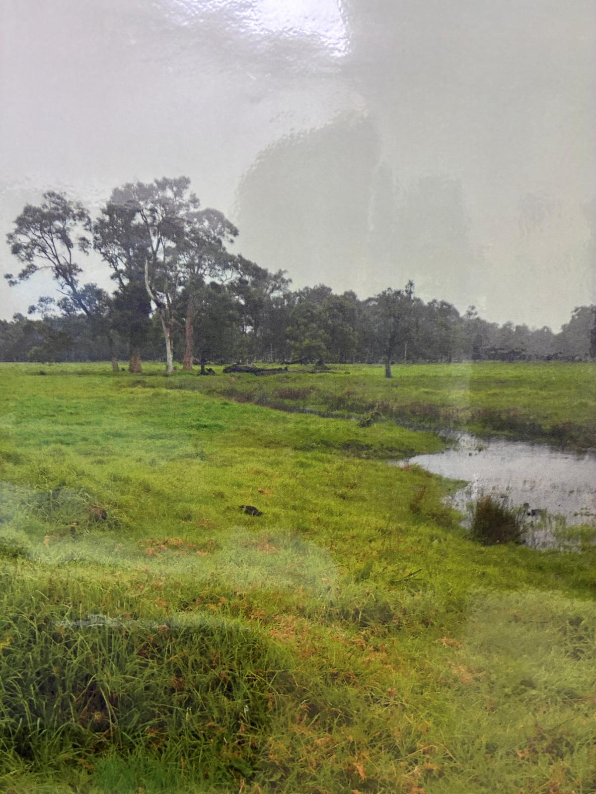
A highlight of the day was a visit to a riparian restoration site on Payne Road, fenced and revegetated through GeoCatch a decade ago. What was once a creek running through a grazed paddock has transformed into a thriving riparian ecosystem, supporting birds, insects and pollinators while improving waterway health and resilience.
| | | Through the WA Healthy Estuaries Program, graziers in the Geographe catchment can access support for fencing waterways and revegetating riparian areas, helping to improve water quality, reduce erosion and restore important habitat. | Thank you to everyone who attended and to the Geographe Community Landcare Nursery for hosting. It's great to see local landholders planning now for successful restoration projects in 2027. | | From a bare paddock with a creek running through (left photo) it to a thriving riparian ecosystem (right photo), this site shows what a decade of protection and revegetation can achieve. Fencing stock out of waterways and restoring native vegetation has transformed the creek into healthy habitat for birds, insects and pollinators, improving waterway health, biodiversity and resilience for the future. | | This project is part of Healthy Estuaries WA and Revitalising Geographe Waterways. These State Government initiatives aim to support the long-term health of our south-west waterways. | | Are your Soils Working as Hard as you are? | | |
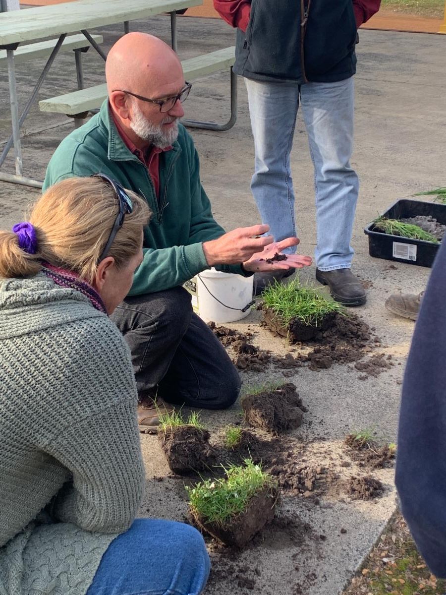
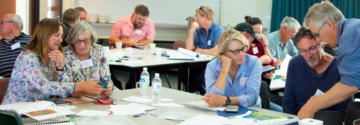
What’s happening beneath your feet has a bigger impact on farm productivity than many people realise. That was the focus of GeoCatch’s Get Soil Health Savvy workshop, where local landholders spent the day learning how to better understand and manage the nutrients driving pasture growth.
Presented by David Hardwick from Soil Land Food, the workshop turned soil science into practical, on-farm advice. Using plenty of real-world examples, David explained how key nutrients such as nitrogen, sulphur and potassium move through farming systems, and why healthy soils and active soil biology are essential for making the most of every fertiliser dollar.
| | | |
A highlight of the day was David’s 5 Nutrient Buckets Model, which helped landholders visualise where nutrients are stored and how they cycle around the farm. Participants also learned how to use soil tests, tissue tests and paddock observations to better understand what their soils are telling them.
The workshop sparked plenty of discussion, with attendees sharing experiences and asking questions about the challenges they face on their own properties. By the end of the day, landholders walked away with practical tools and ideas to improve nutrient efficiency, support healthier pastures and build more resilient farming systems.
With fertiliser costs remaining a key consideration for many producers, understanding how nutrients cycle through the farm can help boost productivity while delivering environmental benefits too. That's a win-win for both farmers and the catchment.
| | This activity is a part of Healthy Estuaries WA and Revitalising Geographe Waterways, State Government programs; and Soils - New Horizons, a bilateral partnership agreement between the Australian Government. | |
The GeoCatch Shed is Bursting with Gear! | | |
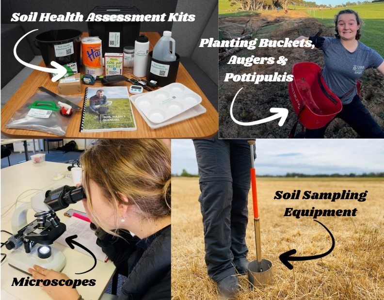
GeoCatch has a range of handy tools available for landholders to borrow, no need to buy the lot yourself!
Whether you're getting ready to plant, checking soil health, calculating nutrients in your hay or silage, we've got you covered. Just get in touch and we’ll help you find the right tools for the job.
| | Upcoming Programs and Events | | |
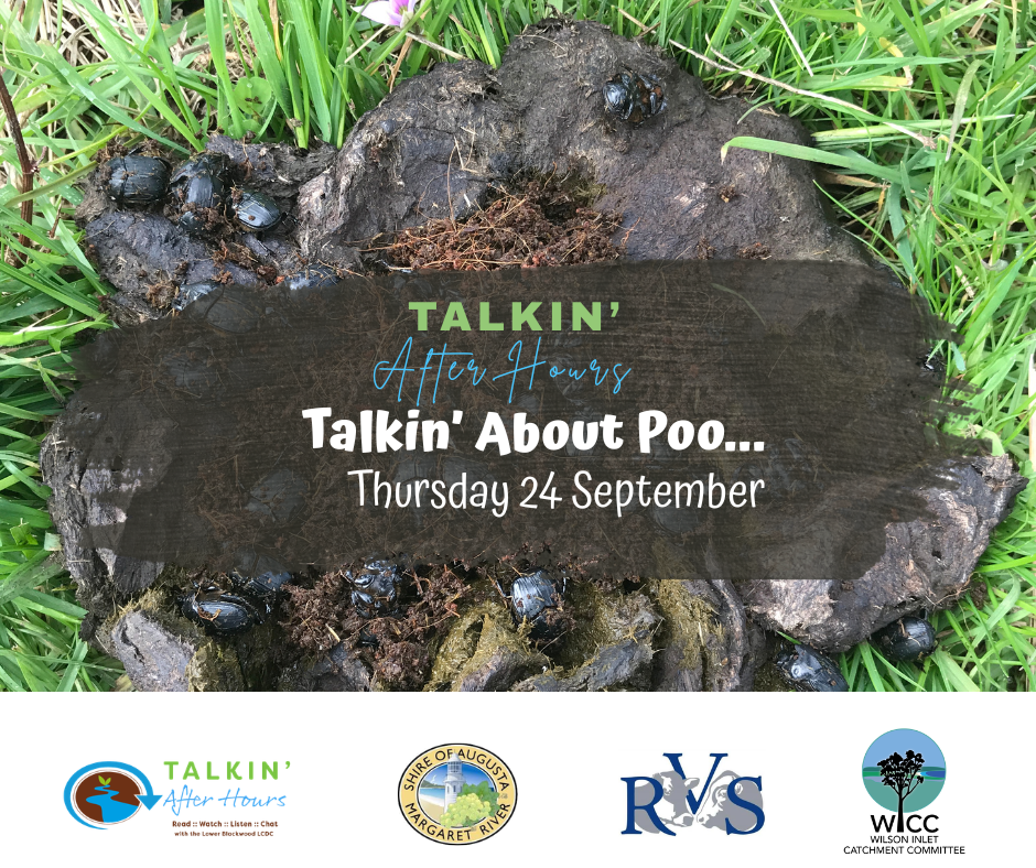
Come and discover just how much a pile of poo can tell you about your farm.
You’ll get practical advice from Nigel Gifford of Rosa Brook Vets on monitoring and managing worms in sheep, see what’s hiding in dung under the microscope, and then join Kylie Cook from Wilson Inlet Catchment Council to meet some of the hard-working beetles helping clean up our paddocks.
| | |
Thursday 24 September, 4-6pm
Lower Blackwood LCDC HQ, 403 Kudardup Rd, Kudardup
FREE event
| | It’ll be practical, interactive and a little bit grubby — in the best possible way. Plus, there'll be a barbecue and plenty of time to keep the conversation going. | | Where do you live in the Catchment? | | |
Ever been curious about where you fit into the catchment?
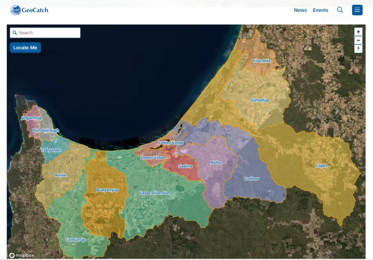
The Geographe Catchment is approximately 200,000 hectares and is divided into 16 distinct sub-catchments, each that flow into Geographe Bay or via coastal wetlands and estuaries.
The new GeoCatch website has an interactive map that allows you to put in your address and it will show you which sub-catchment your property falls into. From there, you can learn about the land uses and environmental values of the waterways in your area, through the Revitalising Geographe Waterways website.
| | Quick links to handy websites | | |
GeoCatch has been working with farmers for 29 years - since 1997!
Contact us to get involved!
info@geocatch.asn.au | 0491 069 078 | www.geocatch.asn.au
| | | | |