|
By MARK ANDREW
Ride for Runaways Committee
In the second installment of Behind the Cue Sheets, let’s talk about how the towns become a route. (Maybe it’s the other way around? The chicken-and-egg dilemma: which came first?)
Picking the Towns
This is the most organic stage of design — the “where” to start, “how” to connect, “what” to avoid and “what” to include. Most years begin with the tradition of alternating the origin from the north or south, then moves forward.
The Ride for Runaways vault holds 47 years of towns, routes, and hotels — plenty of material with which to work. Of course, 47 years’ worth also implies repetition. Sometimes it feels like, didn’t we just do that one? The old standbys remain, but the question is always whether to repeat or push for something new. This year I’m aiming to do both.
At the same time, lodging continues to throw curveballs. Case in point: a proposed overnight town (Town B) had zero accommodations available. Not all properties are agreeable to what we ask: a large room block, bikes in rooms, breakfast at 5 a.m. and extra parking for a cargo truck and rental vans. Oh, let’s not forget favorable rates.
Once again, booking challenges can dictate the route as much as the map.
Solution? We contacted a familiar hotel in an adjacent town (Town C) and they took the booking. Route impact: we now had to conflate two routes, one leaving Town A and detouring to reach Town C. Lucky for me, there are archived routes from A-B and A-C. What do I like to do in my spare time? Open-route surgery.
Heat Maps and Data
Technology sharpens our picture. Ride with GPS and Strava heat maps show where cyclists ride most, though popularity doesn’t always equal safety. Those flat, fast lines are often highways—suitable for a single rider, not for 100+ riders clustered in groups during rush hour. Heat maps are a clue, not a rule.
Behind the scenes, we examine data from RWGPS, USGS, and GPS overlays to compare elevation profiles and identify intersections or turns that might pose safety issues. Each dataset tells a small truth; merged together, they help shape decisions we’ll live with all week.
Local Cycling Clubs
Local clubs add another layer. Riders who know the roads firsthand point out hazards, share quieter alternatives, and confirm what maps miss. These conversations cross-check data with lived experience and build goodwill with the communities we pass.
The best intel still comes from our own riders. This year, I asked a veteran rider to participate on a single-day charity ride and ride a rail trail. The pinnacle of feedback is riding it live. So let it be known — our ridership is providing direct input.
From Intel to Action
All that input becomes our road trip scouting hit list: sections to validate, climbs to test, intersections to consider, and shoulders to measure. It’s where theory meets asphalt.
Scouting Miles
We always scout. Google Street View shows shoulders but little about grades, traffic, or how a road feels with a group. Trails? Zero info—you must see them in person. That’s why we drive and, when needed, ride.
Scouting is multiple car trips, some a single day, but not all. Late summer and fall focus on towns, mostly to lock accommodations. Before July, we repeatedly refine and adjust for changes like construction that may improve the roads. Our Sept. 26 scouting trip logged 740 miles for the day—out before dawn, driving to the target area, scouring terrain for hours, and home long after dark. The vehicle is packed with mapping tools, cameras, and notes that feed directly into route updates. Zero glamour; just persistence and caffeine.
The Allure of Trails
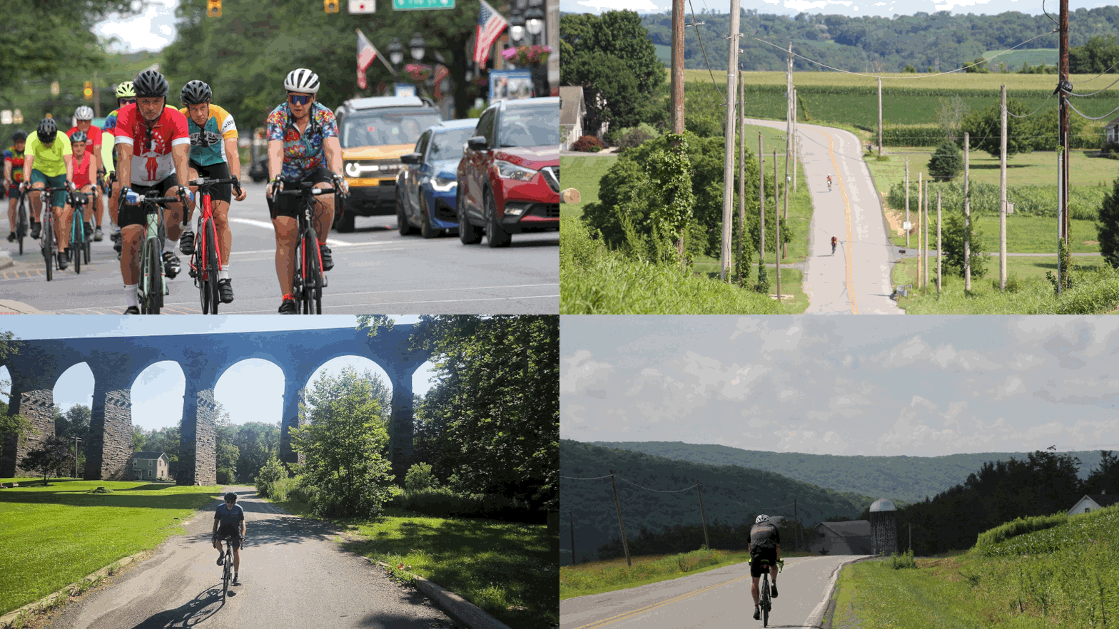
Opinions divide quickly. Trails can be slower, sometimes incompatible with narrow tires, crowded, and tricky to connect to or provide rover service. On the plus side, they offer a secure respite from traffic and elevation — and a break from rural monotony under tree-covered canopies. Imperfect, yes, but one of the best ways to keep riders safe. The ongoing gravel-bike trend only reinforces that. With 30–32 mm tires standard on newer bikes, trails are seeing heavier use than ever, a gravitational pull that’s hard to ignore.
Looking Ahead
No single tool — town-to-town ideas, maps, clubs, scouting, or trails —does the job alone. Together, they shape the Ride. Input from the ridership has long been part of that picture. Call it our version of crowdsourcing: many eyes, many miles, one evolving route.
For now, my near-term goal is to have final drafts for each of the seven days on record. One day still has variations in play, and I’m watching construction projects that could make or break them before we go “gold.”
When July comes, it won’t just be my map — it’ll be the collective miles, voices, and ideas that shaped it.
Once the routes are finalized, the real work begins—turning them into detailed cue sheets that riders and SAG crews can follow. In Behind the Cue Sheets: Part III, we’ll look at how those routes are transposed into long-form spreadsheets, how automation is being tested to streamline cue creation, and how last-minute updates are managed or as John Lennon famously sang, “Life is what happens when you are busy making other plans.”
|