Map2See


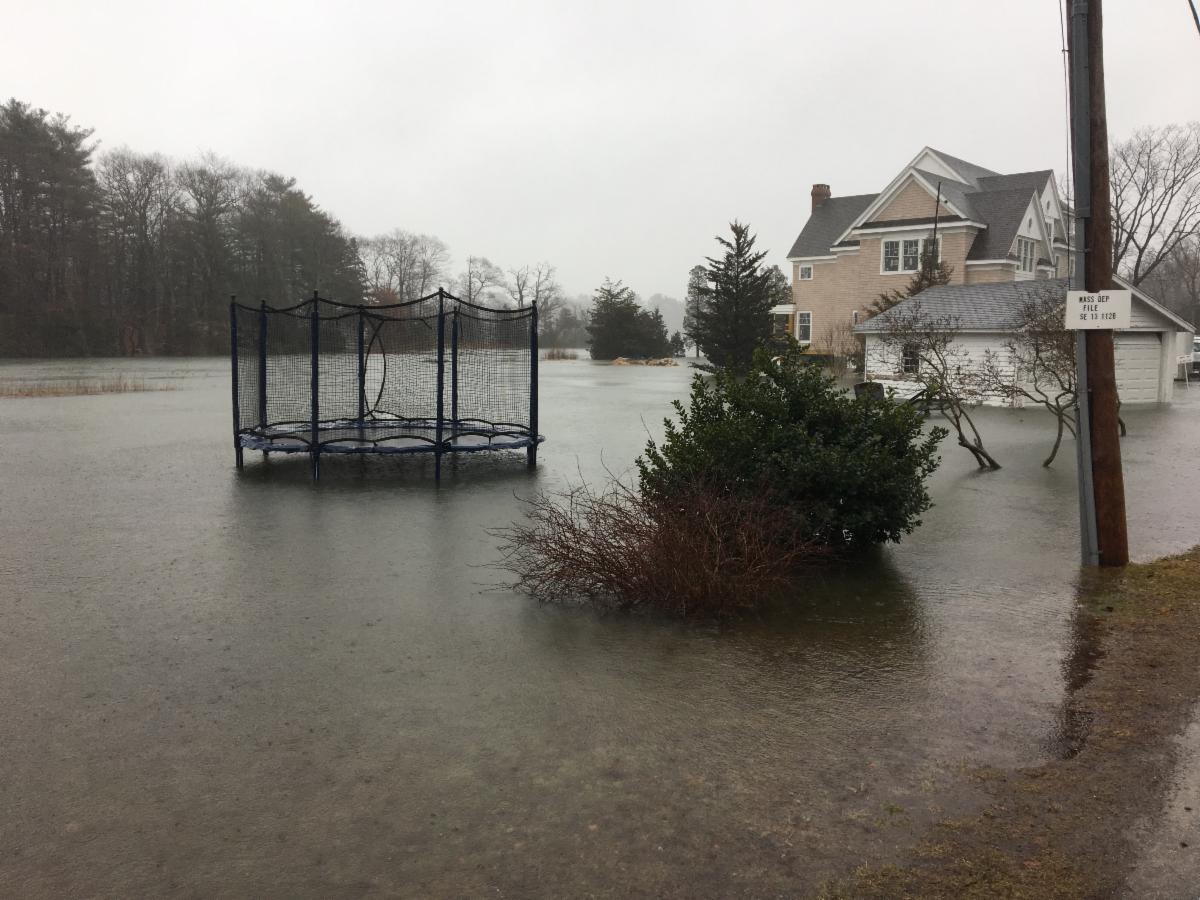
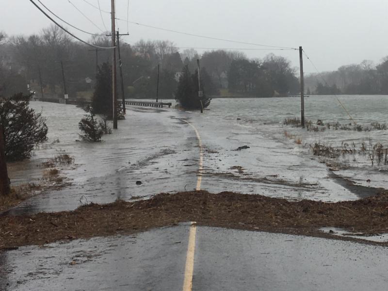
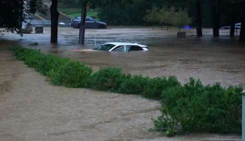
Submerged car, BBC photo, Hurricane Helene, below. Above, innundated backyard & impassable roadway, CSCR photos, 2022 and 2018 storms, repspectively.

We lament the loss of life attributable to Hurricane Helene. As we reflect, we surely appreciate our relative safety in Massachusetts. Our lived lives and photos, however, inform us that we are equally vulnerable. And we can't help but ask (as we should to prepare), what might a Category 4 hurricane look like for us?


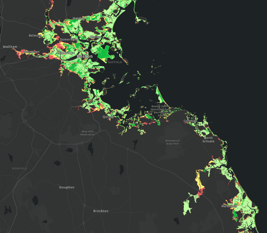
We map to see the answer, as we state in the title. We Map2See because it resonates with our inherently natural capacity to navigate daily life. Mental maps we've built through scores of routine experiences keep up from getting lost.


In this newsletter, therefore, we highlight our spatial intelligence. To do so, we call attention to the power of GIS (Geographic Information Systems).


We look at the serious task of mapping to see the extent of damage we might experience should a category 4 hurricane make landfall in our home. GIS mapping and analysis tools enable us to see the places (and people) we love and want to protect.


We also call attention to the educational benefits that accrue to students and communities that teach and learn with GIS. Students of all ages, K - Gray as they say, become empowered with skills, knowlege, and confidence to engage as change agents in the local community. 

Indeed, there's"no shortage of data to examine, map, and use in understanding and engaging with local issues." NOAA's SLOSH model enables us to pan around the US while selecting hurricane strength. All we need is a browser and access to the cloud.


So why learn ArcGIS Online? Why bother learning a new geographic information system?

Click here to watch an answer.

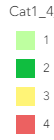
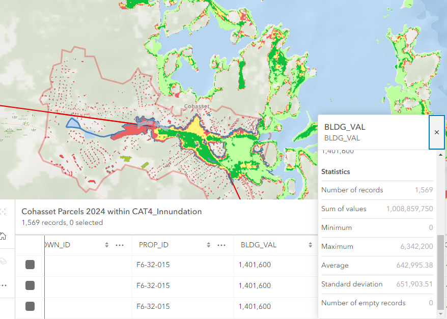
When we map to see, ArcGIS Online enables us to hone in on data. $1 billion in assessed building vallue lies in this hurricane innundation zone! Further analysis informs us that 41% of the town's tax parcels lie within the reach of a Category 4 hurricane.

GIS & Middle School Fall Program

CSCR offers variety of educational experiences in which students are introduced to geospatial tools and techniques.


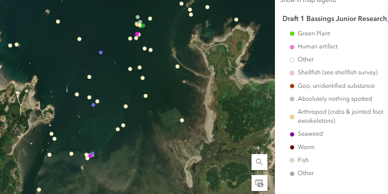
In the middle school program, Susan Bryant engages students in hands-on explorations mapping, charting, and analyzing ecosystem observations in the Greater Bassings Beach Basin. We encourage all families with 6th, 7th, and 8th graders to join our Middle School Program where exciting adventures are blended into skill buildiing activities.


The program runs on Tuesdays from 3:30 - 5:30. Each session is $35. Registration is required. Contact Susan Bryant for details (sbryant@ccscr.org).

Middle School Fall Registration

GIS & Senior Capstone Story Maps

CSCR's collaboration with area watershed organizations and schools takes many forms. We're especially proud of our growing capstone recognition program developed in partnership with NOAA's Stellwagen Bank National Marine Sanctuary.


Current seniors in high school who have 2 or more years of experience in community-based coastal research, or completed 2 or more coastal research projects in one year should reach out to Jack Buckley (jbuckley@ccscr.org) for information. Our next cohort of students will be making presentations on Oct 16.

Finally, we have an update about the Great Pacific Garbage Patch that has found its way into our treasured National Park islands here in Boston Harbor.


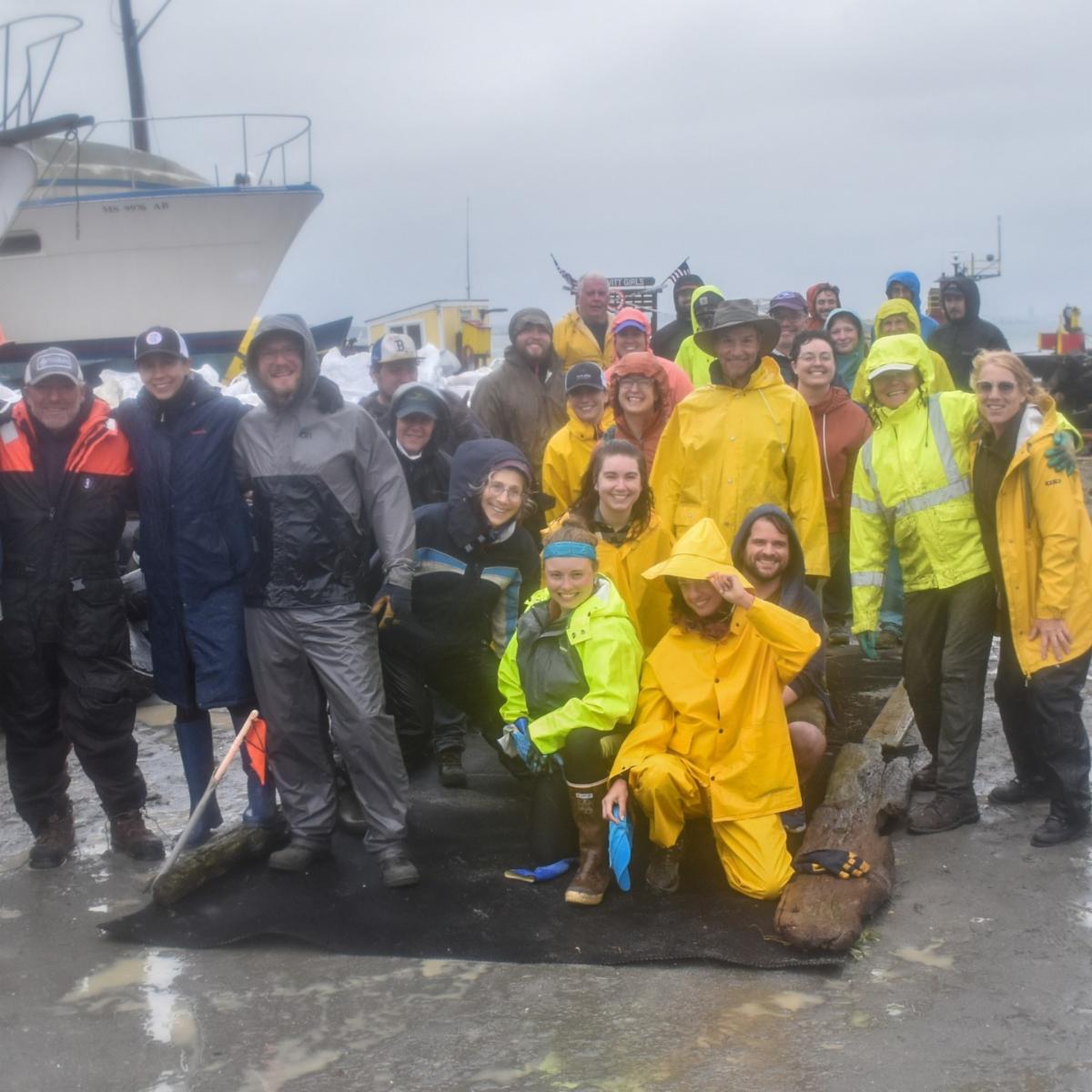
Recall, the clean up effort was led by Laura Ludwig, Center for Coastal Studies (CCS), and her colleagues. In an email to all involved, especially the team that sorted debris on land (pictured above), Laura shared the following.


"By my unofficial count yesterday, you collected and sorted:

  • 15 sacks of styrofoam
  • 3 sacks of plastic beverage bottles (non-water)
  • 3 sacks of plastic jugs
  • 3 sacks of broken/old buoys
  • 1 massive pile of fairly intact buoys
  • 1 sack of plastic water bottles
  • 1 sack of rope
  • 1 sack of textiles
  • 1/2 sack of cans
  • 1 sack of Clorox bottles (I pulled down the garlands and bagged them as-is)
  • 1 sack various rigid plastic items
  • 1 massive pile of lumber
  • 1 30-yd roll-off container of lobster traps
  • 12 tires weighing between 5 - 1200 pounds
  • 1 small pile of scrap metal (already removed by Phil for recycling)
  • 1 grain bag of nips
  • 1 grain bag of glass bottles
  • 1 grain bag of plastic Dunkin cups
  • assorted toys, golf clubs, pilon caps, sharps, chairs, appliance parts, boat parts, fishing gear and etc.

Stay tuned for the offical data tally!

Sept 28 2024

DONATE Today
 
 
Cohasset Center
for Student Coastal Research
40 Parker Ave
Cohasset, Massachusetts 02025
(781) 383-0129
 
Facebook  Twitter  Instagram