Seeking Next Landsat Science Team
A Request for Proposal (RFP) to be part of the 2025–2029 Landsat Science Team was released by USGS and NASA on Oct. 18. Proposals are due by Dec. 17, 2024.
+ Learn more
| | |
|
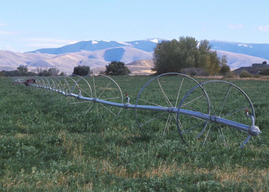
With Landsat-based ET embedded in more and more water rights and conservation tools, the Western States Water Council is eager to see Landsat Next with its higher spatial resolution, more frequent observations, and additional spectral bands, built and launched. Tony Willardson is the executive director of the Western States Water Council. He speaks with writer Laura Rocchio about how the Council uses Landsat in its work. | | |
|
|
November 1, 2024
How Landsat Monitors Wildfires
Wildfires are a powerful force, reshaping landscapes in hours. Landsat satellites have been tracking these fires for decades, helping scientists understand and manage wildfire risk, map burned areas, and monitor ecosystem recovery—all from space.
| | |
|
|
October 30, 2024
Taking the Temperature of Atoll Lagoons
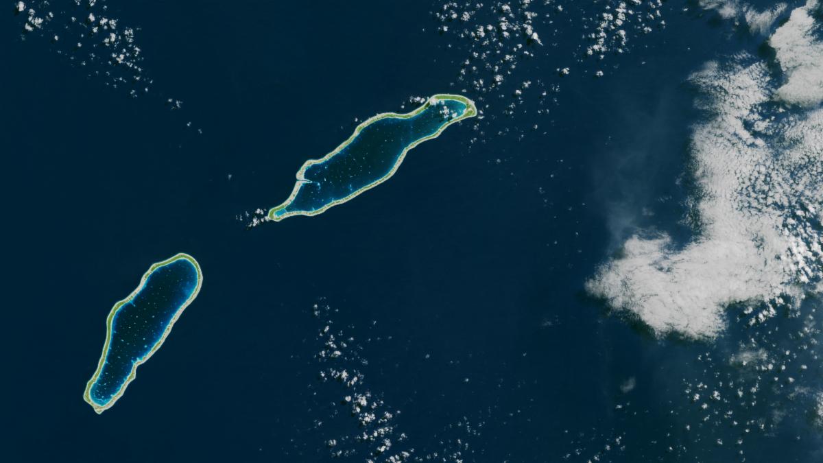
Monitoring the sea surface temperature of tiny atoll lagoons is important for the local economy and ecosystem of French Polynesia. A new study (Wynsberge et al. 2024) shows that Landsat's thermal data can help capture the changes in these remote, hard-to-reach locations.
| | |
|
|
November 1, 2024
Landsat at NASA Space Apps Challenge
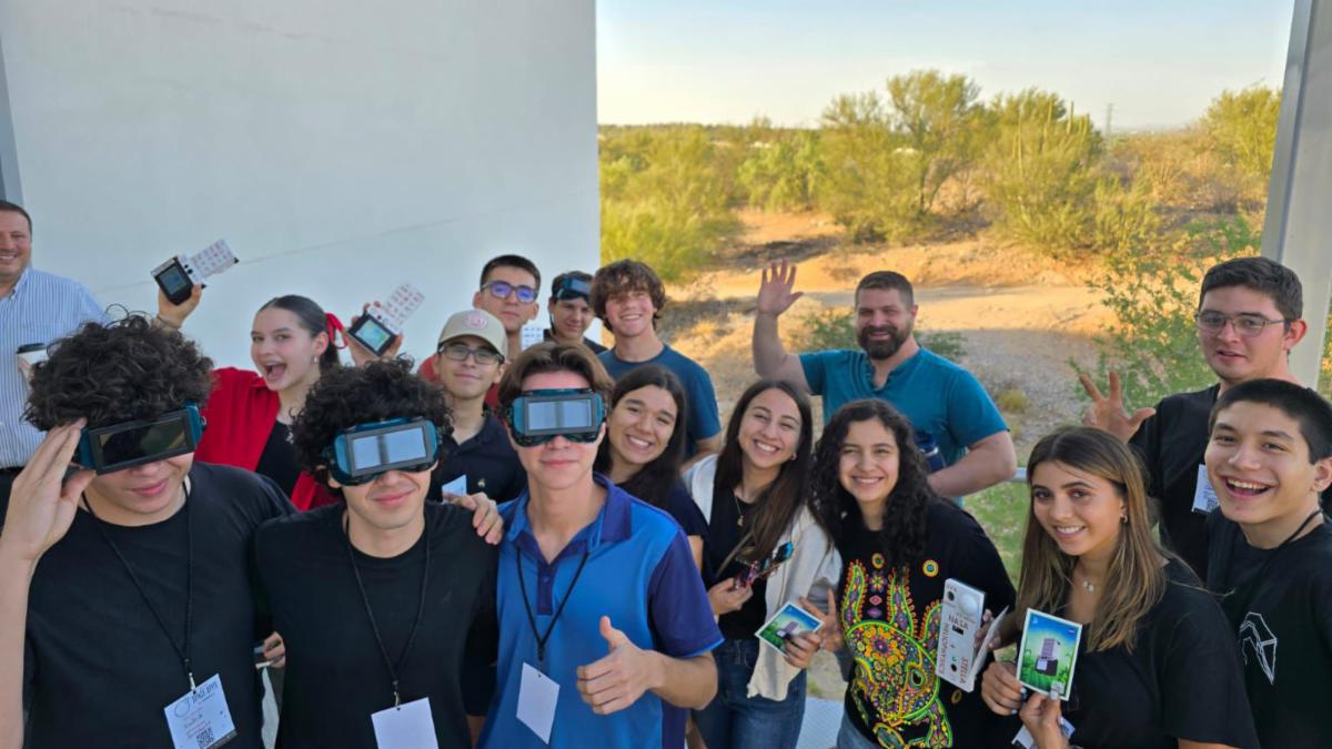
Participants in Hermosillo, Mexico participated in the NASA Space Apps Challenge to create an easy-to-use app to access and download Landsat data. The annual hackathon engages participants around the world to use NASA data to creatively approach challenges on Earth and in space.
| | |
|
|
November 4, 2024
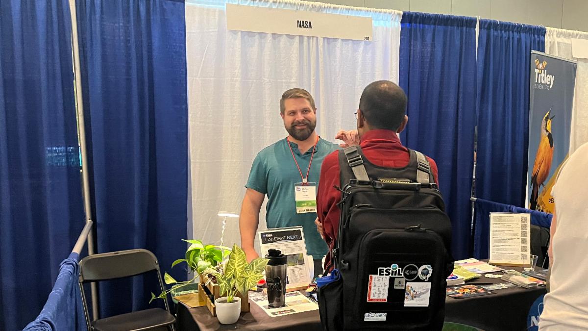
Wildlife Biologists Learn About Landsat
The Landsat Outreach team attended The Wildlife Society’s meeting in Baltimore, Maryland, to educate attendees about ways to use Landsat data in their research.
| |
|
PUBLICATION SPOTLIGHT
| McClure et al., 2024
By bringing together historic tree-ring fire records with contemporary Landsat-based fire information for Arizona and New Mexico, researchers have found that fires since 1985 are occurring less frequently than they historically did from 1700-1880, however, fire severity has greatly increased and often results in high tree mortality unlike the past. This research has direct implications for U.S. southwest land and wildfire management. While it has been established that wildfire activity has recently intensified with climate change, the comparison of that shift to historic pre-Euro-American colonization fire regimes was previously unquantified. This research provides that historic context and suggests that post-colonization fire suppression practices led to less frequent fires and greater fuel build-up. Now combined with climate change, the result is high severity wildfires. To improve forest resilience, the authors suggest a return to historic fire regimes by restoring Indigenous fire stewardship practices of prescribed burning, which would increase fire frequency, but lower fire severity—killing fewer trees and sustaining dry conifer ecosystems.
| 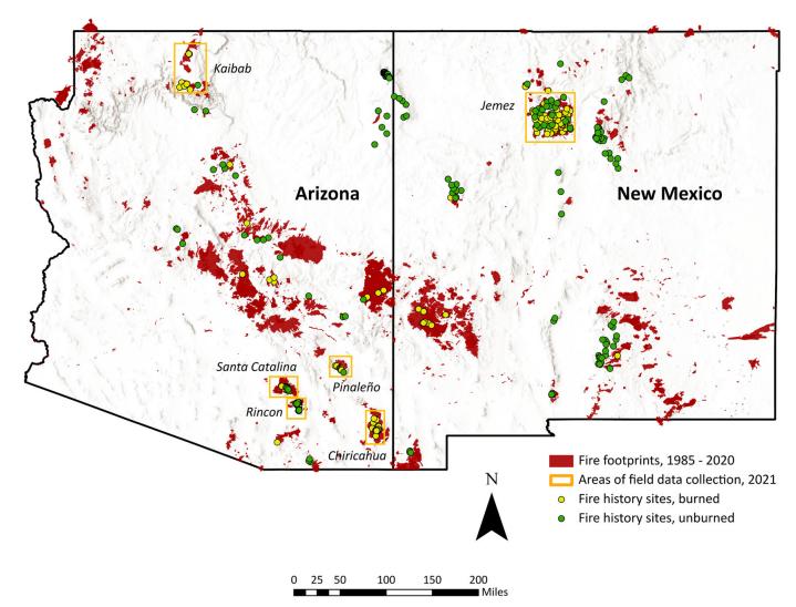 | Contemporary fire footprints from the Landsat record across Arizona and New Mexico shown in relation to the fire history sites used in this research. Image credit: McClure et al., 2024 | | |
October 24, 2024
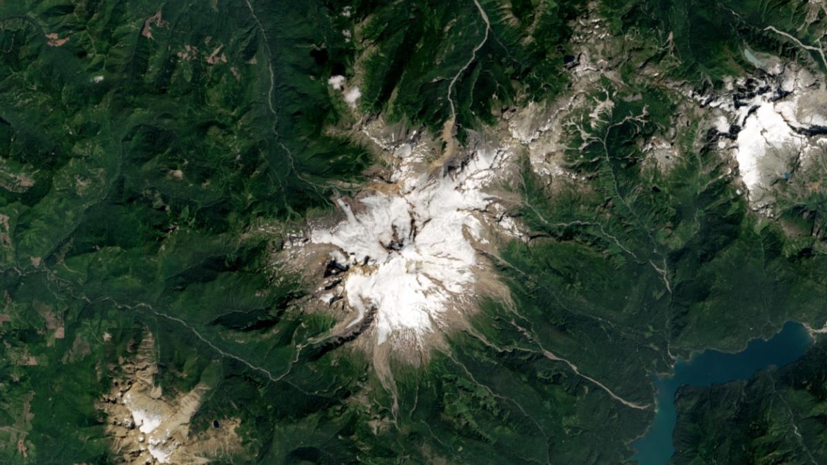
Alpine glaciers around the world were advancing as recently as 1990. Now they’re melting fast.
| |
|
October 21, 2024
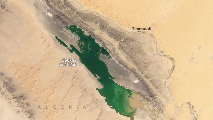
Water for a Desert Lake in Algeria
Scientists are studying the rare filling of Sebkha el Melah for clues about past—and possibly future—greening of the Sahara Desert.
| |
|
October 18, 2024
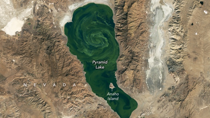
Pyramid Lake in Bloom
Blooms of cyanobacteria develop in the brackish waters of this Nevada lake nearly every year.
| |
|
October 3, 2024
Typhoon Krathon Nears Taiwan
Once the equivalent of a Category 4 hurricane, the typhoon weakened and stalled off the island’s southwest coast.
| |
| | | |