|
Greetings,
To all those celebrating, happy Lunar New Year.
I hope everyone, especially those with midwinter recess, is enjoying one of the best scheduling features of New York City public schools, at least from my perspective as a former nyc public school student eons ago.
There are a few things I wanted to follow up on from last week’s Full Board meeting, namely four mapping matters.
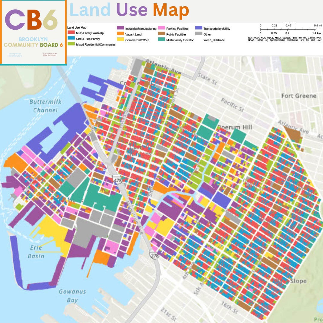
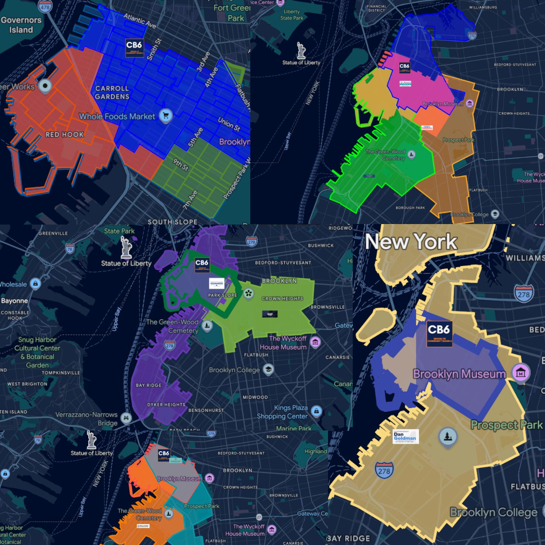
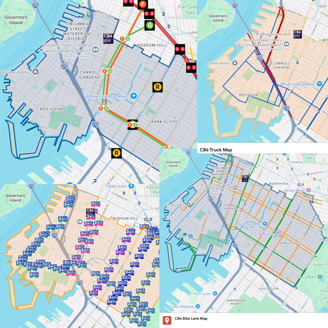
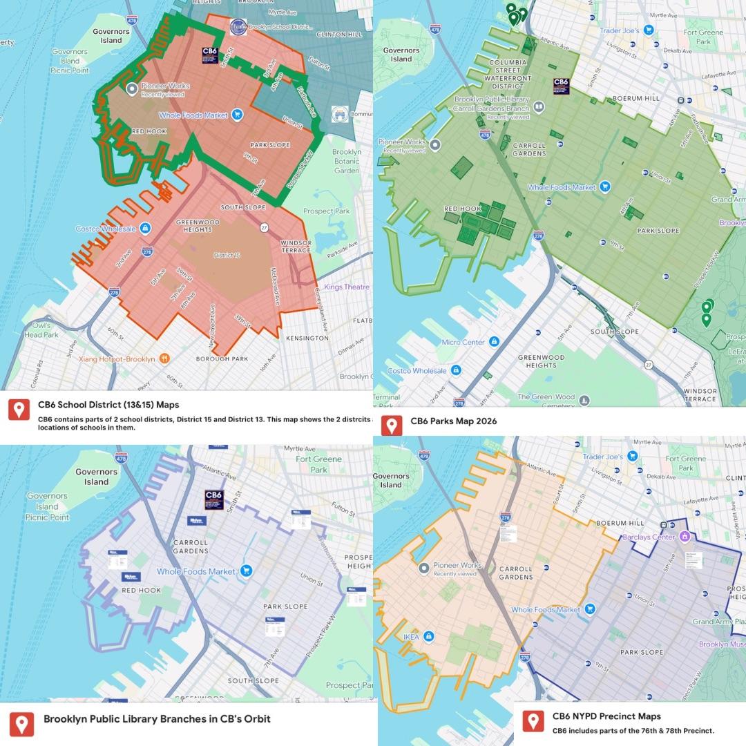
First, the CB6 Land Use Map, which took me the most work, covers more than 13,000 lots, in addition to a normal url, is available as PDF. Second, are the CB6 electoral and legislative maps ranging from election districts, our smallest electoral unit, up through State Assembly, State Senate, City Council, and Congress. Third, the CB6 transportation maps include subways, buses, bike lanes, and truck routes. Fourth, there is a collection of additional CB6 maps showing overlapping boundaries and services, including schools and landmark districts, school districts, police precincts, parks, and libraries.
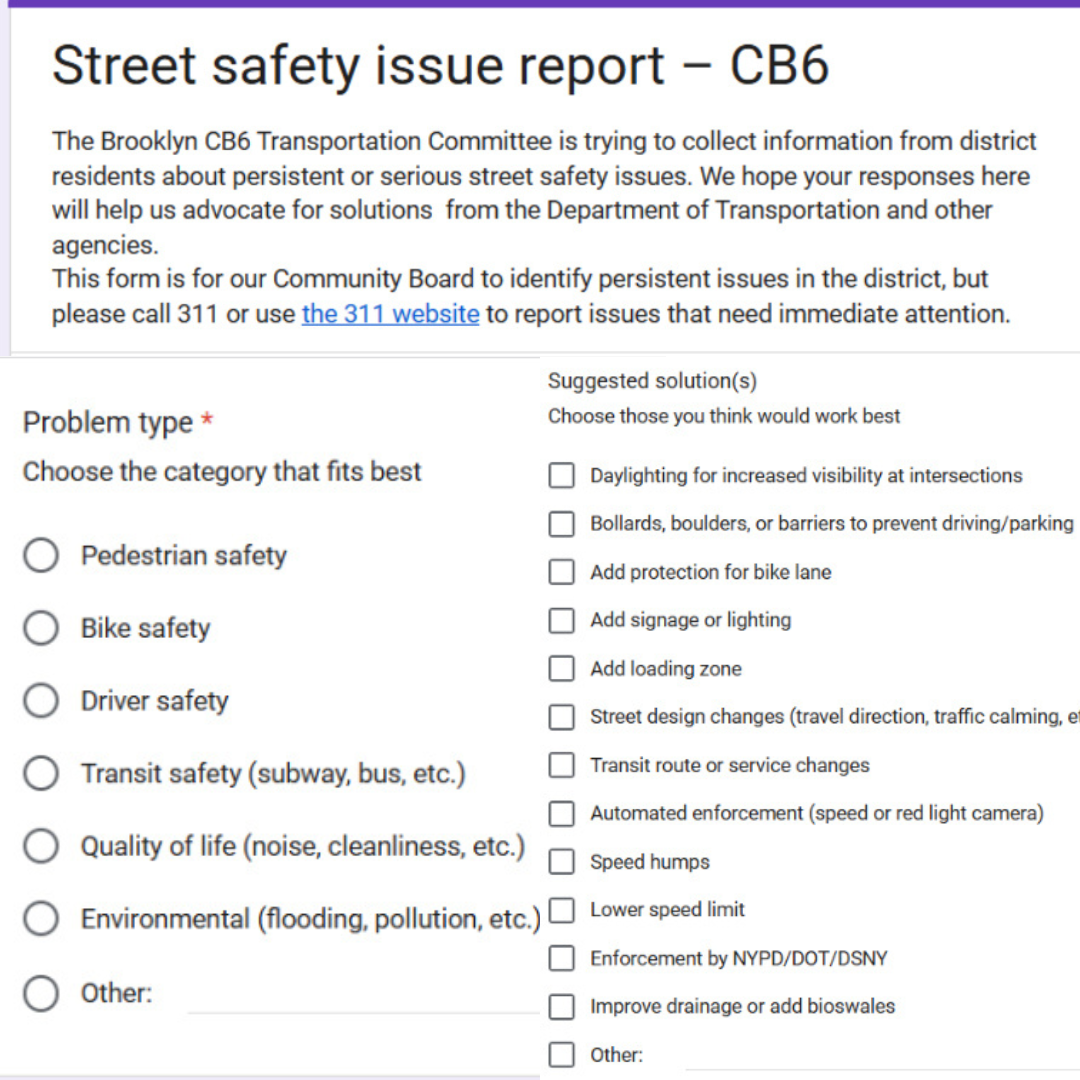
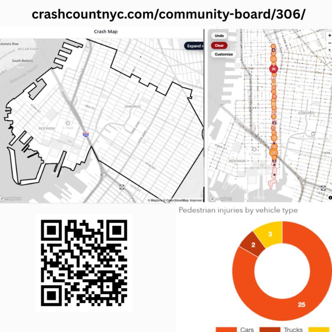
All of these maps are live and will be updated over time. If you have questions or suggestions, let me know. For example, on the electoral maps, each of the 75 election districts that make up CB6 has its own page with information on voting, registration, and more. The transportation maps may also be a useful reference when taking our street safety survey.
On that note, I’ll stop here and suggest you scroll and read the rest of this email, where you can actually see the maps instead of just reading what I’ve typed about them, along with upcoming meetings and more.
Mike Racioppo, District Manager
Brooklyn Community Board 6
250 Baltic Street, Brooklyn, NY 11201
e. Mike@bkcb6.org
|