Next came the flight test.
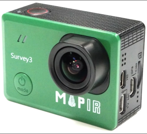
The Mapir Survey3 camera was set to 3 second intervals. I flew the drone like I normally do for survey mapping.
I use
Litchi
as my main flight management app. I can control the flight speed so that the 3 second interval is in sync with the desired front overlap.
====================
"
I cover the
Litchi
app in Book 8 of my
Survey Mapping Made Simple
book series.
"
"
I will be covering
Flight Parameters
for many drones/cameras/sensors in my next book.
"
====================
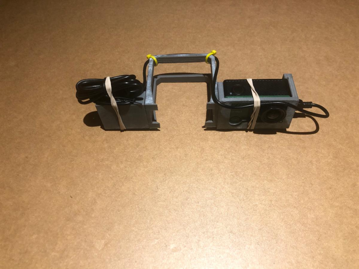
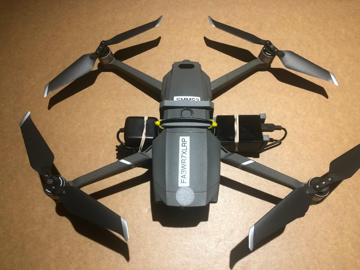
I downloaded the images and deleted the extra ones that I didn't need such as taking off and landing. You have to start the camera taking pictures while on the ground. There is no connection to the flight app to start the Mapir Survey3 camera.
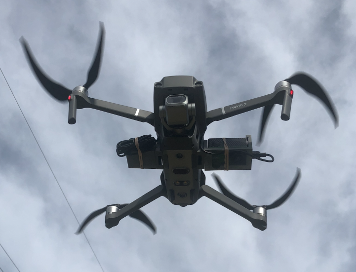
The drone flew perfectly just like it normally does.
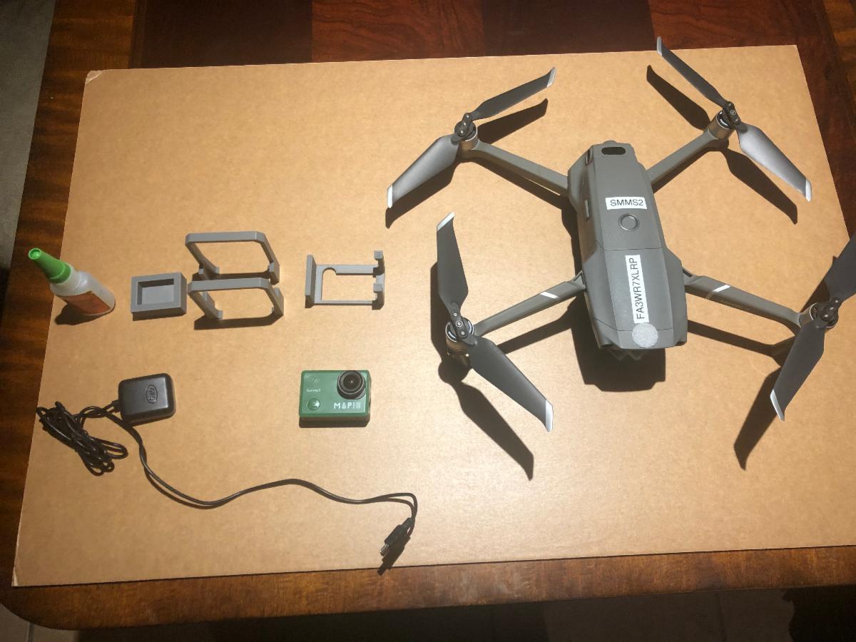
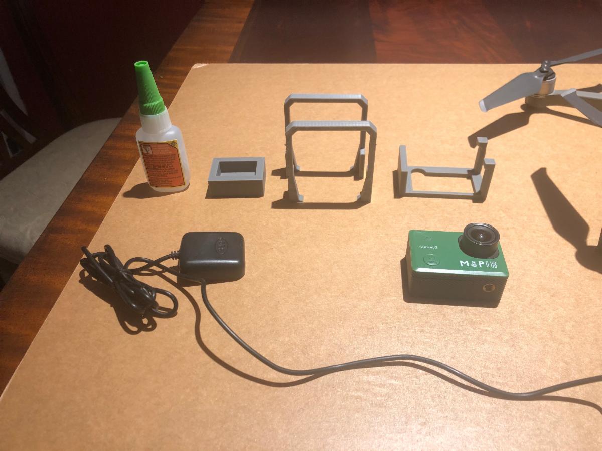
The weight of the drone with the second camera is right at its maximum takeoff limit of 1100 grams.