We are excited to share a few new things that are available online now! They are colorful and joyful- the perfect antidote to the cold, windy, grey weather we have been having on Cape Cod!
We will keep this email short and sweet, but watch for a longer message with a wider variety (including some very special, very old maps) later this month!
|
|
Below we shall highlight some exciting new maps, but you can always visit our Newly Listed Maps section to see everything from the past month or so. We have a Great Maps - Super Deals category that offers our discounted items. And don't forget that we also have a category specifically for maps under $100!
If you are looking for something specific, we recommend using the search function or the "Filter By" function on the left side above the listings to search within a category.
|
|
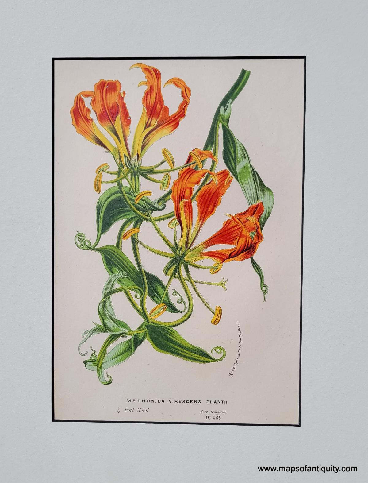
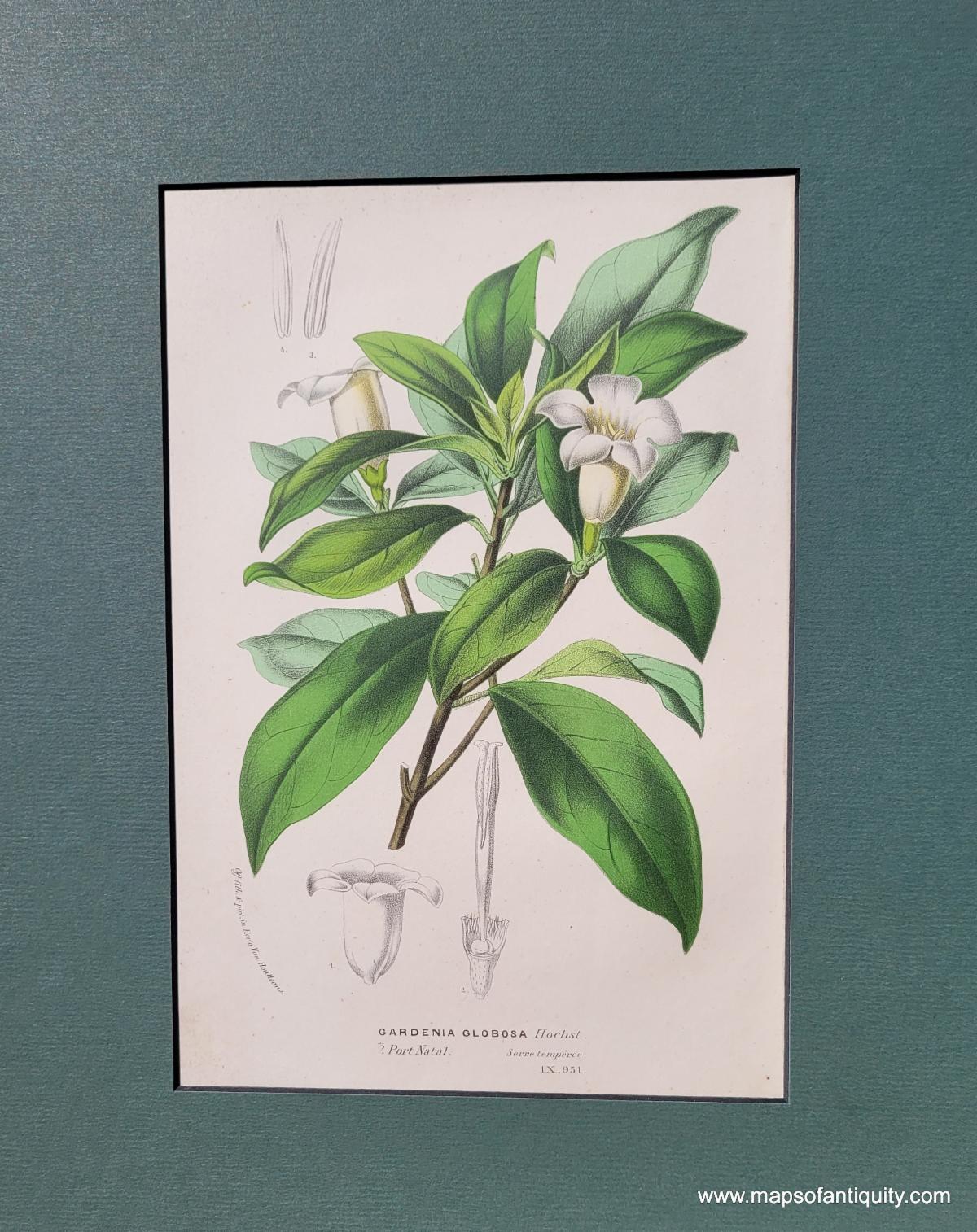
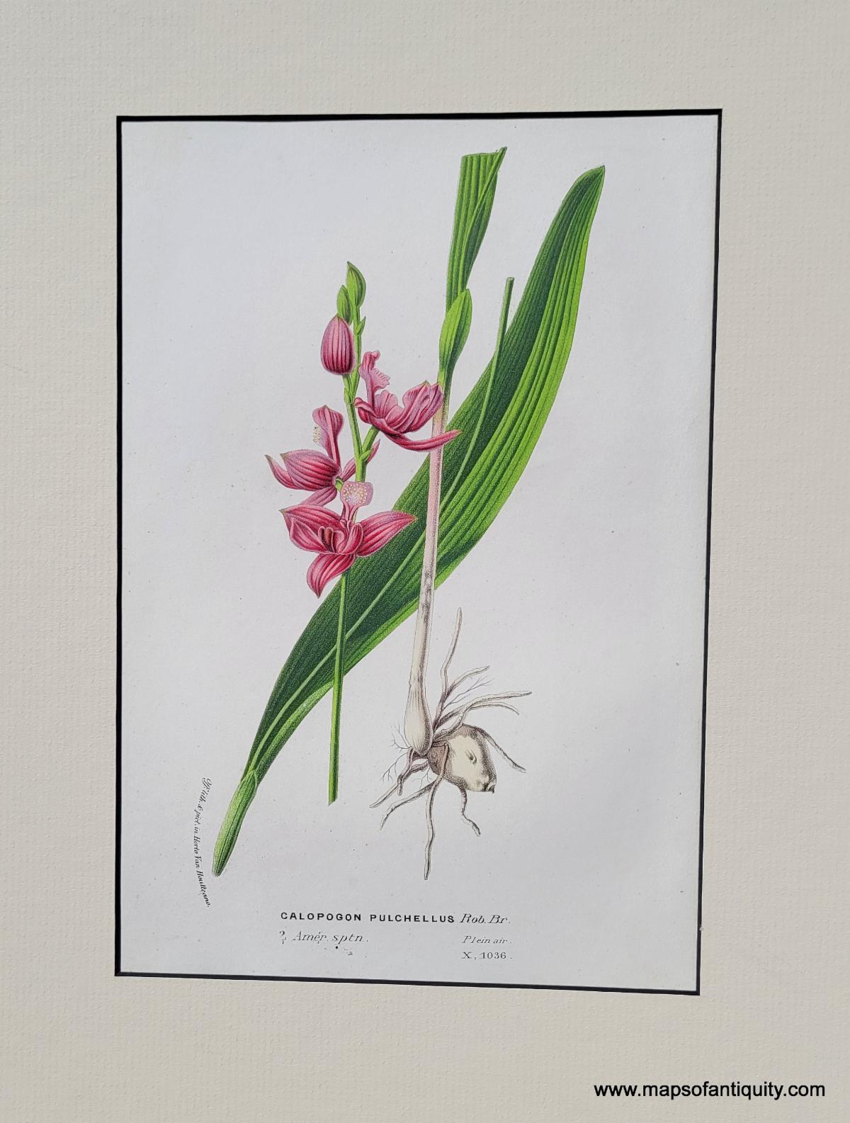
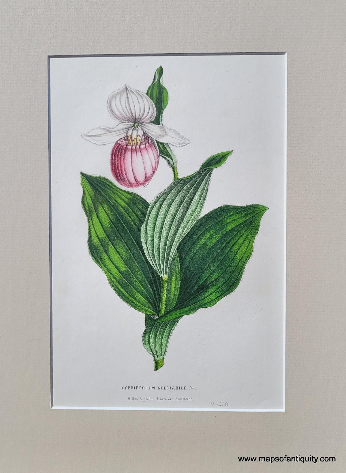
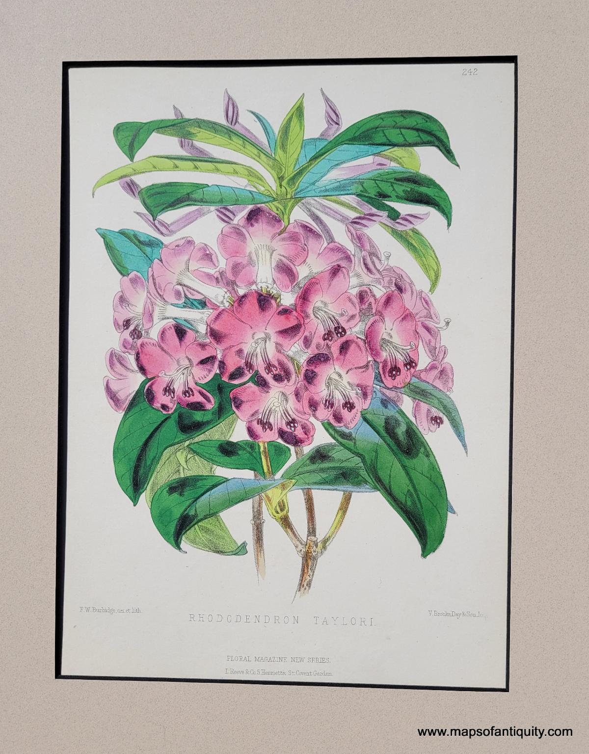
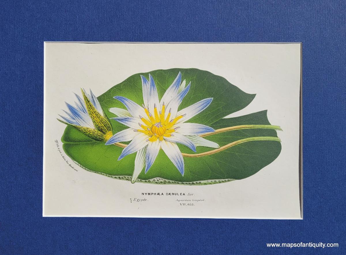
Bring your walls to life with these gorgeous, vibrant antique botanical prints! Roses, lilies, camellias, orchids, and more, all with sumptuous original color and matted, are here to herald Spring. Who can resist their siren song of sunny summer days ahead? |
|
Campbell's Magnolia, c. 1850 |
|
Flame lily, Gloriosa simplex, Methonica Virescens Plantii |
|
September Bells, Gardenia Globosa Hochst. (Rothmannia globosa) |
|
Orchid, Calapogon pulchellus |
|
Lady's Slipper Orchid, Cypripedium spectabile |
|
Treasure flower or African daisy, Gazania splendens |
|
Camellia, Comtesse Pasolini |
|
Water lily, Nymphaea Caerulea |
|
Colorful Coast Survey Charts |
|
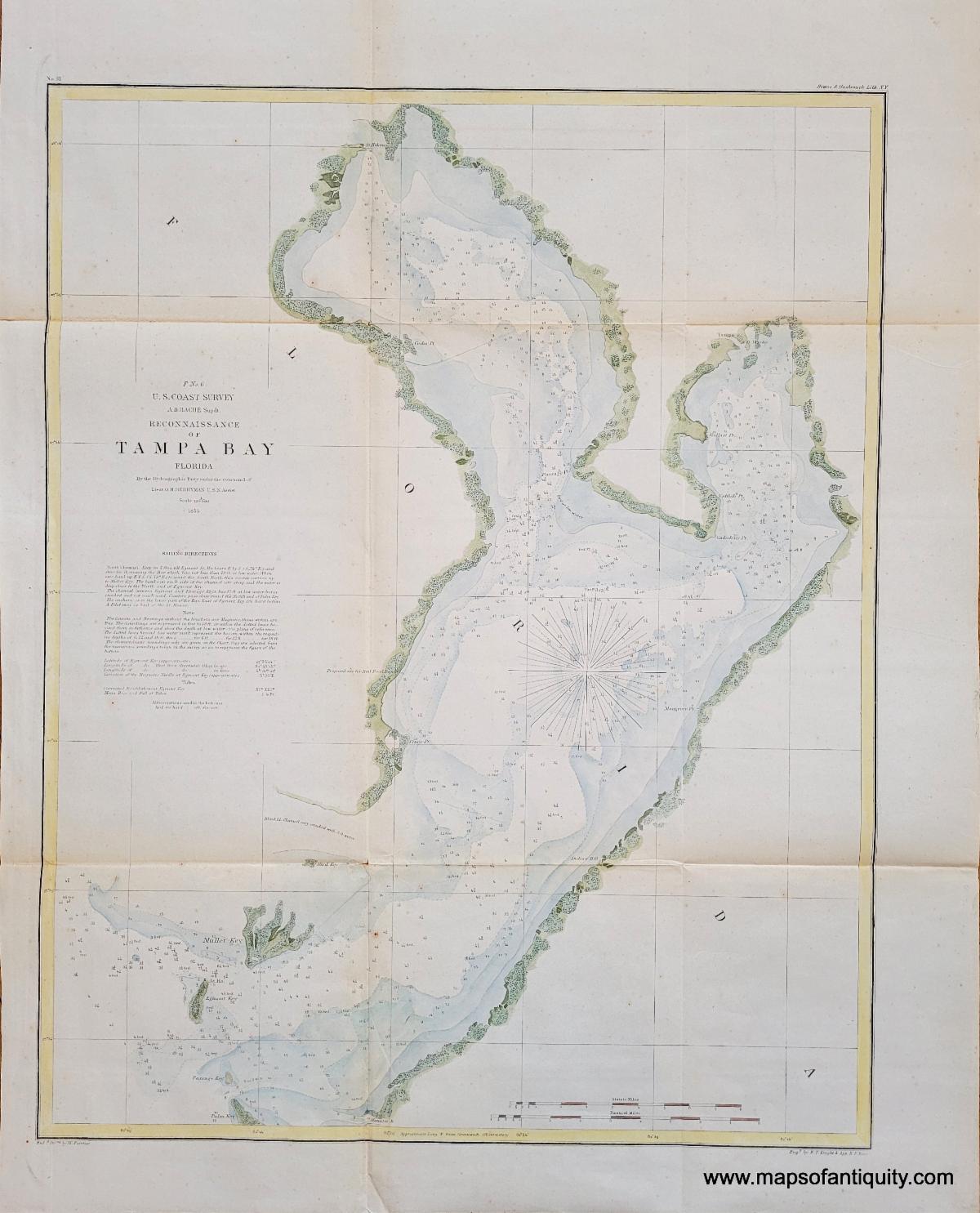
Handsomely hand-colored by our professional colorist, these antique coast survey charts cover well-loved areas, from Tampa Bay to Key West, Cape Fear, Galveston Bay, the West Coast, and many more. Our artist's sophisticated color truly brings them to life! |
|
1855 - E. No. 6, Preliminary Chart of Savannah River Georgia |
|
1855 - Reconnaissance of Tampa Bay Florida |
|
1855 - Reconnaissance of Port Royal Entrance and Beaufort Harbor South Carolina |
|
1859 - Preliminary Chart of Patuxent River, Maryland |
|
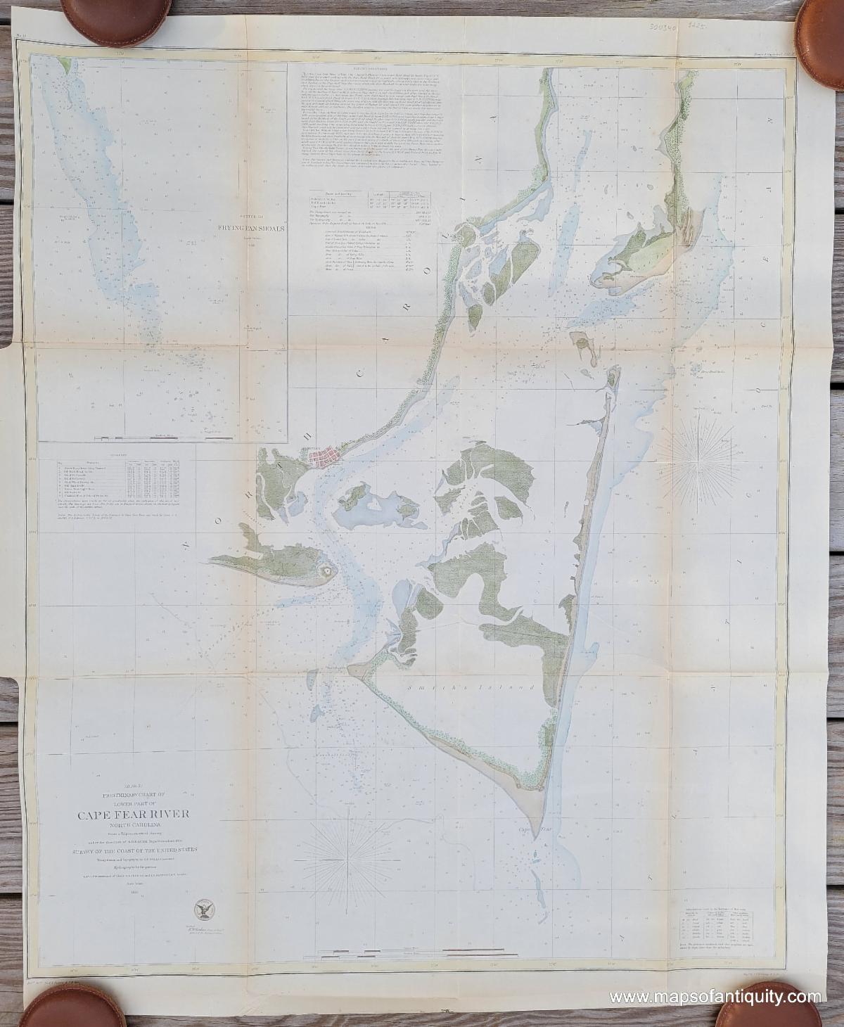
1855 - Preliminary Chart of Lower Part of Cape Fear River, North Carolina (D No. 3) |
|
1855 - Preliminary Chart of Galveston Bay Texas |
|
1853 - Coast of Florida Pensacola to St Marks - Sketch G, Showing the Progress of the Survey in Section VII, From 1849 to 1853 |
|
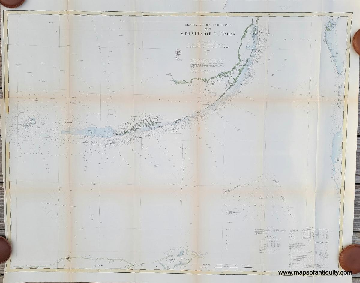
1868 - General Chart of the Coast, No. X, Straits of Florida with hand-coloring |
|
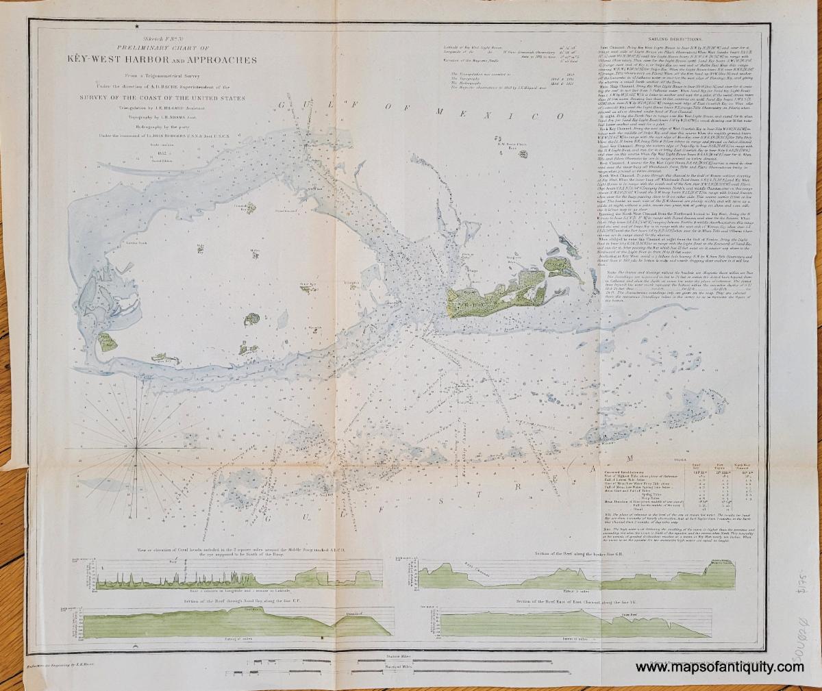
1852 - Key West Harbor and Approaches |
|
We wish we could highlight every newly-added map, chart, and print and give each one its moment in the spotlight, but unfortunately it just isn't possible. Here are a few more noteworthy items you don't want to miss! |
|
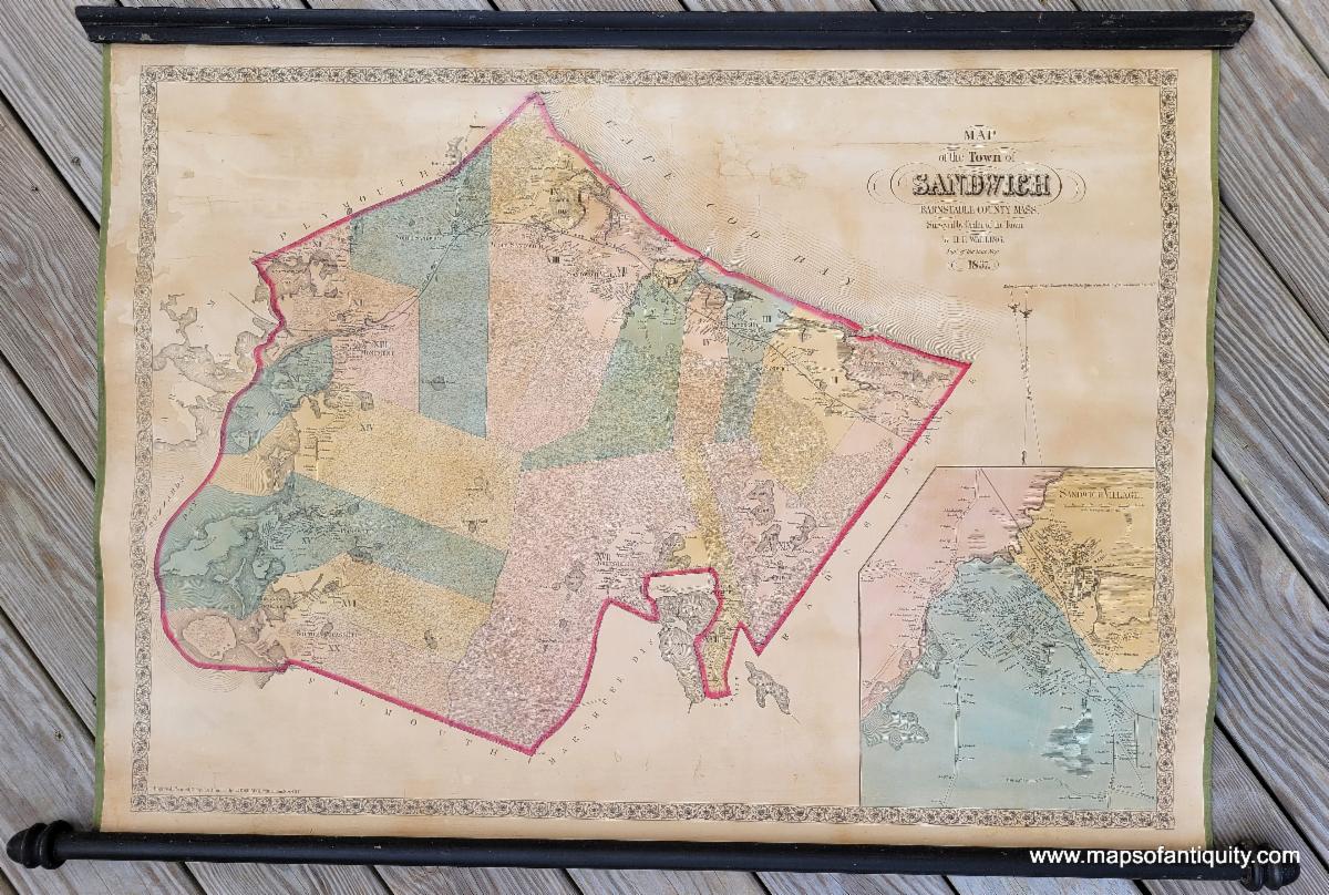
1857 - Map of the Town of Sandwich, Barnstable County, Mass.
Antique Wall Map
approx. 32h x 47w inches overall including the wooden rods.
|
|
1927 - Map of the City of Boston - Antique Wall Map
approx. 39.75 x 35.25 inches to the neatline.
|
|
Our shop is currently operating on winter hours!
Tuesday - Saturday 10am - 5pm.
We are closed Sundays and Mondays until May 1st.
Or give us a call at: 508-945-1660
If you or your loved-ones need accommodations, send them over to our converted 18th century farmhouse, Chatham Guest Rooms. We have been very well reviewed on TripAdvisor!
Do you need a getaway? Take a winter trip to Cape Cod and enjoy the wood-burning fireplace in our Main Suite!
Planning for summer? Make your bookings early to ensure you get your preferred dates and accommodations! We are getting bookings daily for the summer months.
Book your stay now at Chatham Guest Rooms! The rates are reasonable and you will be staying in the building that is home to Maps of Antiquity! You can pop in to look at maps quite easily during business hours. We rent rooms year 'round!
|
|
Maps of Antiquity | 508-945-1660 | 1409 Main St, Chatham MA | Website
|
|
|
|
|
|
|