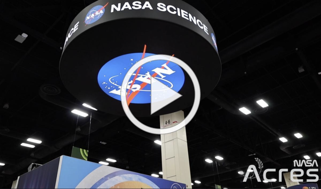
NASA Acres Connects with Farmers at Commodity Classic 2026 | | NASA Acres joined Commodity Classic 2026 as part of the broader NASA Agriculture team, engaging directly with farmers, agritech leaders, and partners from across the country to demonstrate how NASA Earth observation data supports more informed decisions, resilience, and productivity on the farm. A key highlight was our standing-room-only Farm Innovation Ambassador Team (FIAT) “What’s New” session, From Satellites to Seeds, where NASA leadership, farmer partners, and FIAT Steering Committee members shared real-world applications of satellite data, remote sensing, and analytics to address on-the-ground challenges facing U.S. producers. | | | | |
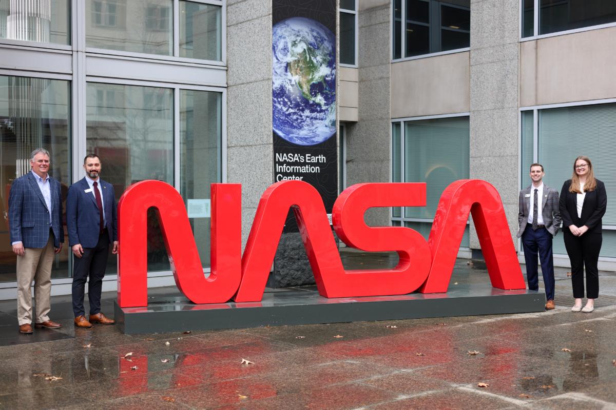
U.S. Farmers Visit NASA Headquarters to Advance Earth Observation Collaboration in Agriculture
Members of the Illinois Corn Growers Association and the Kentucky Corn Growers Association visited NASA Headquarters to learn more about NASA Earth Observation capabilities and to help advance collaboration between farmers and the Earth science community.
Farmers spoke with Dr. Karen St. Germain, Director of NASA’s Earth Science Division, and met with Dr. Thomas Wagner, Associate Director for Earth Science, alongside the NASA Acres and broader NASA Agriculture teams.
| | | | |
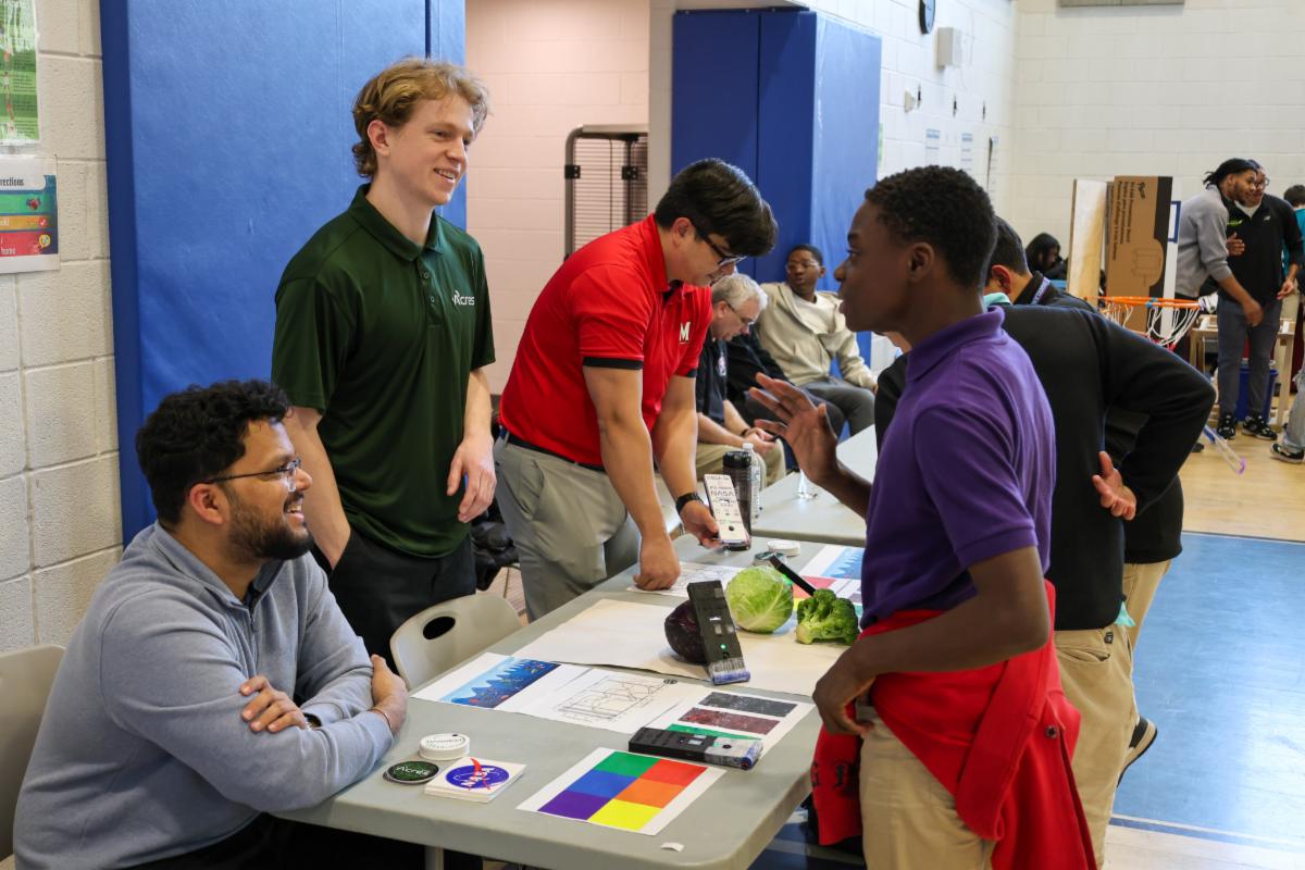
Inspiring Future Scientists and Agronomists at the Brookland Middle School Science Fair
NASA’s Agriculture Consortia are actively advancing STEM education and workforce development. A recent, fun example: NASA Acres and NASA Harvest at the Brookland Middle School Science Fair in Washington, DC.
| | | | |
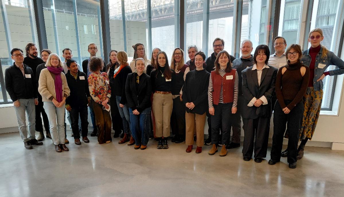
NASA Acres-Supported Workshop Examines Data, Technology, and the Future of Agrifood and Environmental Systems
NASA Acres supported a Critical Environmental Data Studies (CEDS) workshop at Cornell Tech, where interdisciplinary researchers explored how data, AI, and Earth observation are reshaping agriculture and environmental governance.
| | |
Upcoming ASABE Webinar
From Orbits to Outputs: NASA Acres and EAVs
Learn more about NASA Acres from one of our experts! In this ASABE Central Illinois Section Lunch and Learn, NASA Acres Strategic Engagement Officer Dr. Allison Bredder will provide a brief overview of the NASA Acres Consortium and describe how it is using Earth observation data to monitor Essential Agricultural Variables (EAVs), used to detect things like pests and disease, evapotranspiration, soil moisture, and crop yield.
🗓 Thursday, April 9, 2026
🕛 12 - 1 p.m. EDT
📍 Virtual. Register here.
| | | |
2026 National 4-H Conference Youth Expo
Join the NASA Acres and NASA Agriculture teams at the Youth Expo at the 2026 National 4-H Conference. This flagship development opportunity will allow youth to grow their citizenship and leadership skills and contribute to American agricultural prosperity.
🗓 Monday, April 13, 2026
🕘 9 - 11 a.m. EDT
📍 Hyatt Regency Crystal City Hotel in Arlington, Virginia.
| | | |
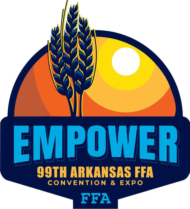
Arkansas Future Farmers of America (FFA) Expo
NASA Acres will be attending the 99th Arkansas FFA State Convention. Drop by our table to learn more about our education and workforce development efforts!
🗓 April 20-22, 2026
📍 Hot Springs Convention Center in Hot Springs, AR
| | | |
Harmonized Landsat Sentinel-2 Workshop
NASA’s Satellite Needs Working Group Implementation
Team (NSITE) invites you to a virtual workshop showcasing the Harmonized Landsat Sentinel-2 (HLS) dataset. During this two-day event, NSITE will host an introduction to HLS, illustrate examples of HLS in use, demonstrate how to access and use HLS across a variety of platforms, and address your questions, challenges and needs.
🗓 Tuesday, May 12 & Wednesday, May 13, 2026
🕙 10 a.m. - 5 p.m. CDT.
📍 Virtual. Register here.
| | | |
Postdoctoral Opportunity with the Remote Sensing Team
The Precision Sustainable Agriculture Remote Sensing Team is seeking good candidates for a postdoctoral position hired through North Carolina State University.
This researcher will provide analysis of multispectral and hyperspectral satellite imagery and in situ datasets and produce publications related to remote sensing of agricultural conservation outcomes (cover crops, conservation tillage). They will work with a diverse team of scientists (USGS, USDA-ARS, NASA, UMD, NCSU) to produce data and workflows that inform farm decision support tools and adaptive management of conservation incentive programs. If interested, please send your c.v. to Dean Hively.
| | |
NASA's Applied Remote Sensing Training Program (ARSET)
Want to learn more about remote sensing and Earth observation technology? Check out NASA's free training platform! ARSET helps build skills to use remote sensing data for a range of applications related to air quality, public health, agriculture, disasters, ecological conservation, water resource management, climate resilience, and wildland fires. From "How do satellites work?" to "How can I use satellite data to make a flood map?" there are trainings available for all levels of experience at no cost.
Upcoming Training: Monitoring Groundwater Changes for Water Resources Management.
This three-part, advanced training focuses on satellite remote sensing data for looking at groundwater.
🗓 April 23, 28 and 30, 2026
📍 Virtual. Find more information here.
| | | | | |