Twitter  Youtube  Linkedin  

NASA Harvest's Monthly News

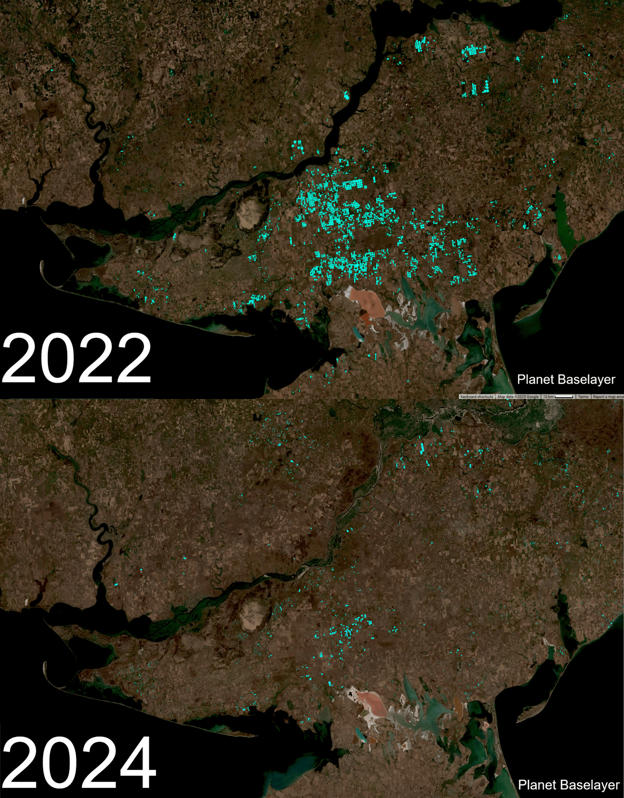
Tracking Irrigation Loss in Southern Ukraine After the Kakhovka Dam Collapse 

Satellite data is helping reveal how farming in southern Ukraine has changed since the Kakhovka Dam was destroyed in 2023.


NASA Harvest researchers used high-resolution imagery to track the loss of irrigation and shifts in crop choices, showing how damage to water infrastructure continues to affect agriculture today.

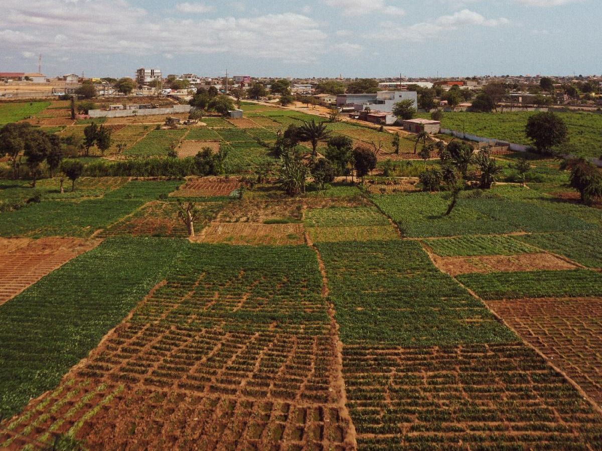
Building Scalable Food Security Solutions with Satellite Data and AI 

NASA Harvest and partners launched Project ADAPT-Kenya to build a public, government-run system that uses satellite data and AI to track crops and food supplies in Kenya, with plans to expand across Sub-Saharan Africa.


The goal is to give reliable, up-to-date agricultural information so governments, businesses and communities can make better decisions about food security and markets.

A New UN Handbook Sets Standards for Remote Sensing in Agricultural Statistics 

How can countries better track the crops farmers are actually planting? NASA Harvest is supporting the WorldCereal system, a cloud-based platform that turns satellite data into customized crop maps.


A hands-on workshop in Zambia tested the system with local data, helping agencies evaluate where it performs well and where more work is needed.

Upcoming Events

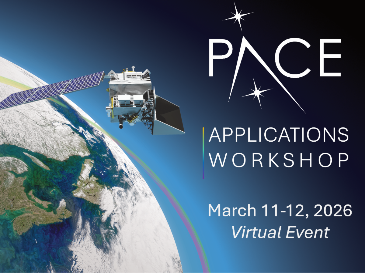
NASA PACE Applications Workshop

Mar 11-12, 2026

You are invited to the NASA Plankton, Aerosol, Cloud, ocean Ecosystem (PACE) Applications Workshop on March 11th and 12th.


Through practical tutorial demonstrations and presentations attendees will learn how PACE capabilities can serve their science and applications needs across ocean, land, and atmospheric domains. The virtual workshop is free to attend. REGISTER (free) | Learn more