|
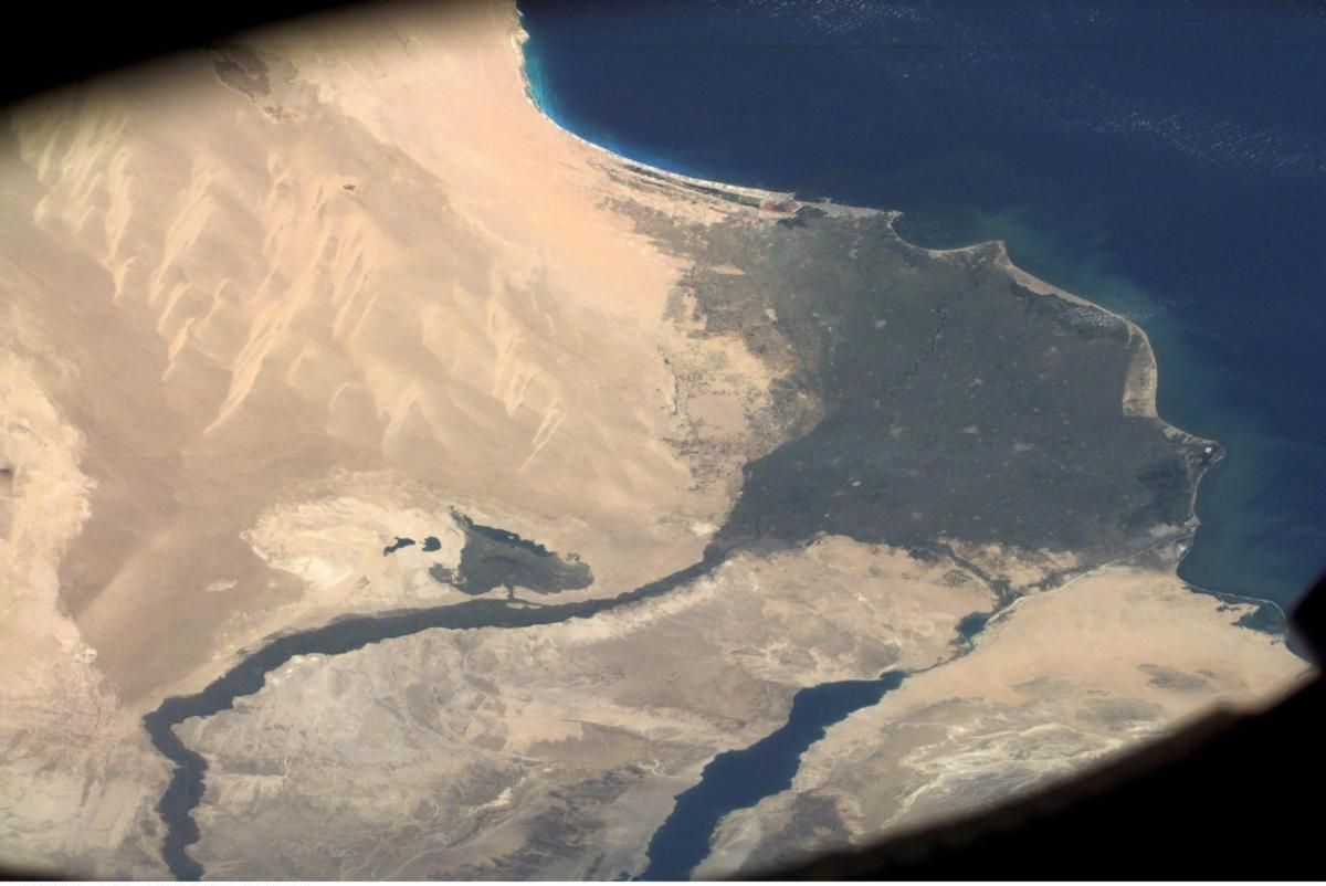
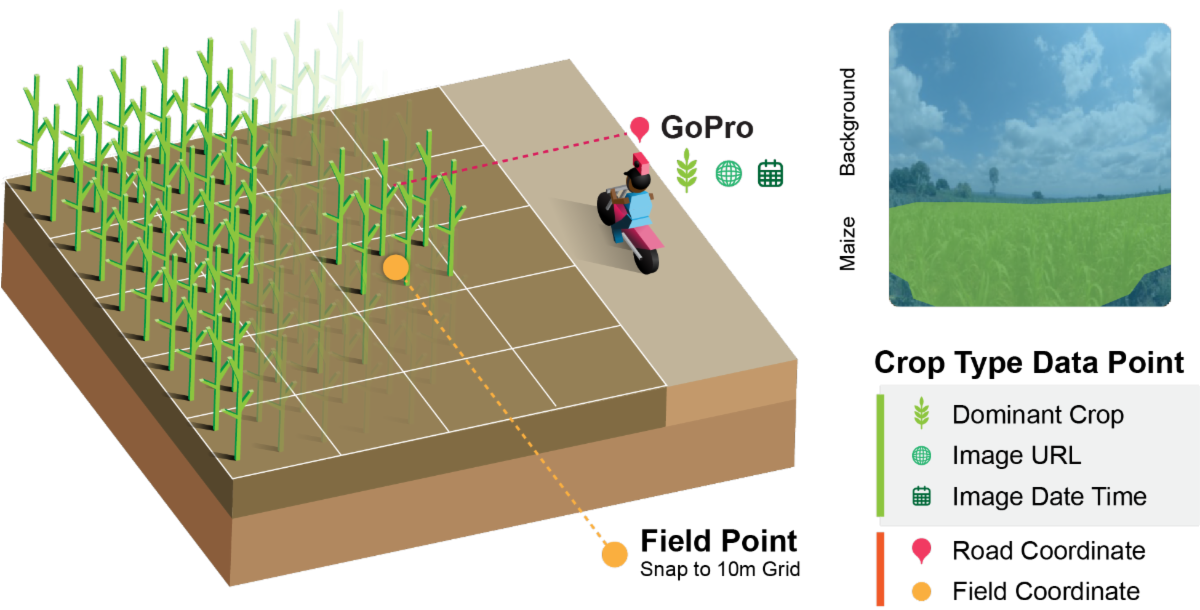
Catherine Nakalembe, Africa Lead for NASA Harvest and a TED Fellow, uses satellite images and artificial intelligence to help farmers and governments respond to food crises. In her TED Fellows video, she explains how her team collects millions of photos of crops using GoPros on motorcycles, like a “Google Street View” for farms.
These images teach computers to better recognize small, diverse African fields, making it easier to track floods, droughts, and other threats to food security. Nakalembe’s work shows how technology, when designed for local needs, can help safeguard livelihoods and strengthen communities.
|