X  Youtube  Linkedin

NASA Harvest's Monthly News

NASA Harvest and Agmatix Collaboration Produces New Models to Monitor Crop Growth Stage and Crop Cycles

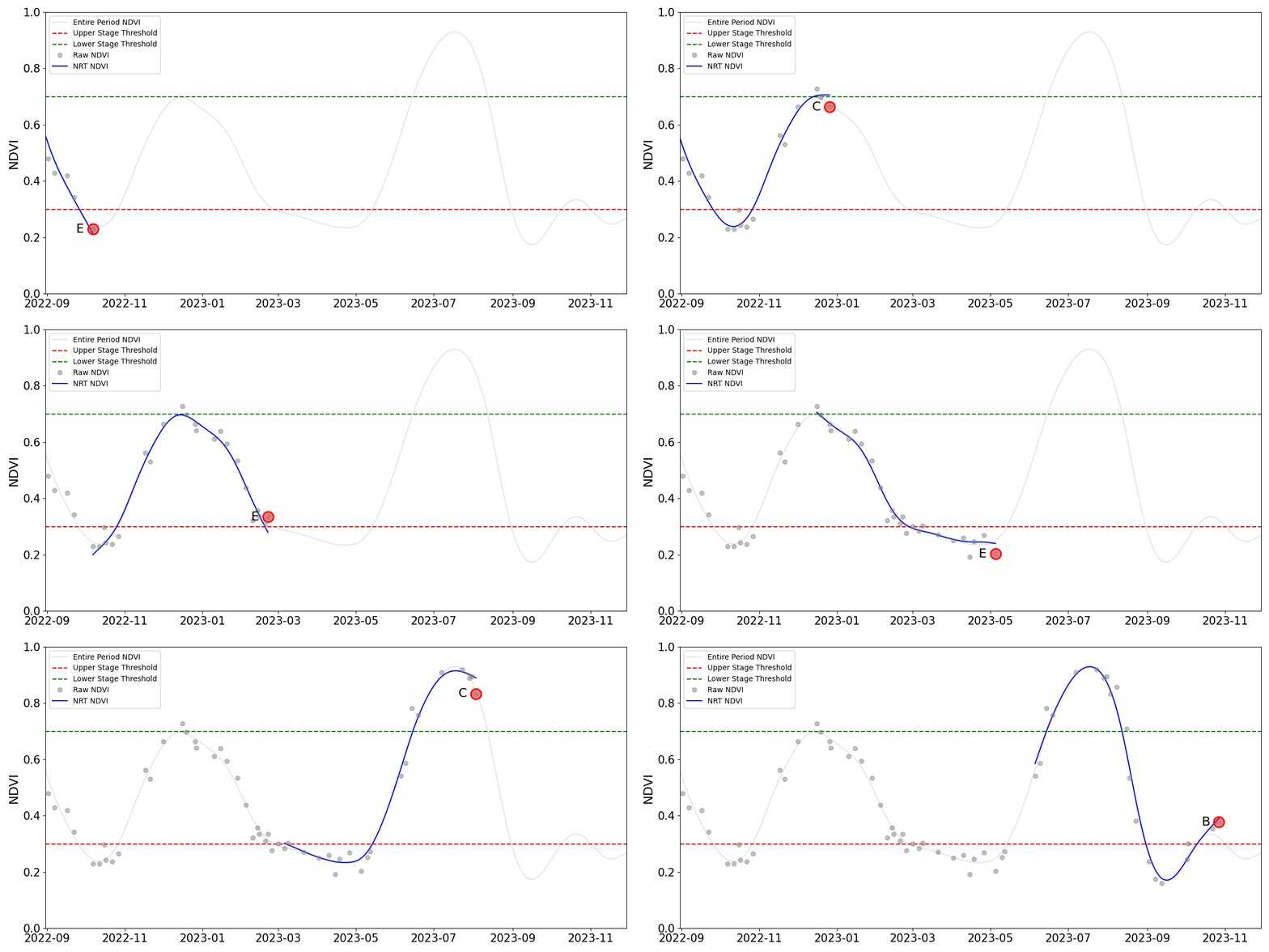
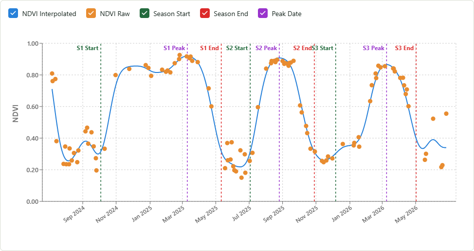
NASA Harvest and Agmatix have released two open-source models that use satellite-derived vegetation data to track how crops change over time. The Crop Stage Detection model estimates where a field is within its current growing season, while the Crop Cycle Detection model identifies individual growing seasons and estimates their timing. Both are crop agnostic, allowing the same approach to be used across different crops and regions.


The models are already being tested in North Carolina, including for near-real-time harvest detection and to characterize cropping intensity across approximately 53,000 fields. They can also support applications such as updating crop calendars or filling gaps where seasonal information is limited. Both tools are available through NASA Harvest’s GitHub, with a Google Earth Engine workflow for crop stage detection and a web app for crop cycle detection.

Caption: The Crop Stage Detection model tracks changes in NDVI over time to estimate a crop’s current growth stage, while the Crop Cycle Detection model uses those changes to identify individual growing seasons and estimate when each season starts, peaks, and ends.

UMD Researchers are Helping Kenya Create its Own Agricultural Data Infrastructure

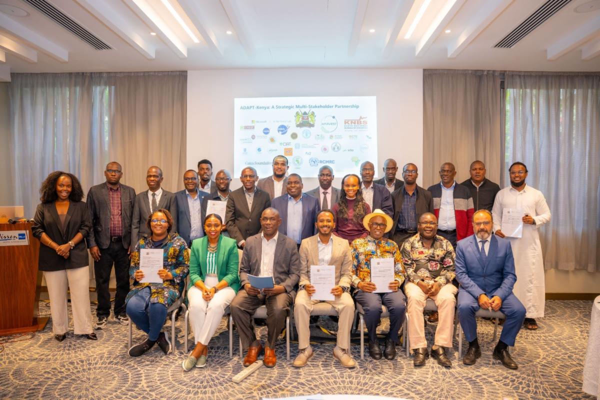
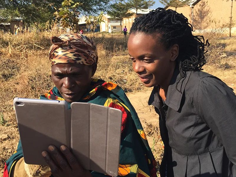
Our new project, ADAPT-Kenya, is building a national agricultural data system that uses satellite imagery and AI to produce timely information throughout the growing season. Kenyan government institutions are leading the effort with NASA Harvest and partners including Microsoft AI for Good Lab and the Gates Foundation, with a focus on long-term national ownership and operation.

Taylor Geospatial Announces User Advisory Group for Fields of the World Project

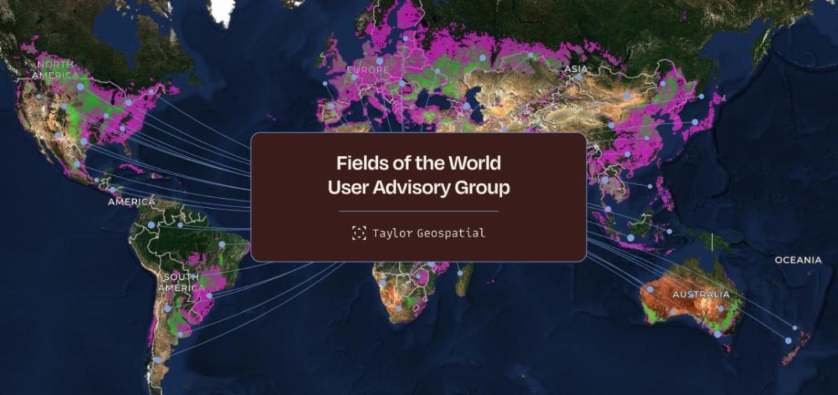
Elinor Benami, NASA Harvest’s Insurance & Climate Finance Co-Lead, is one of 13 initial members of a new advisory group for Fields of the World. The group will help Taylor Geospatial test and improve the global field boundary dataset, providing feedback on usability, data quality, and priorities based on real-world applications.

On the Road with the NASA Space4Ag Tour: Listening to Agriculture Across Texas, Oklahoma, and Kansas

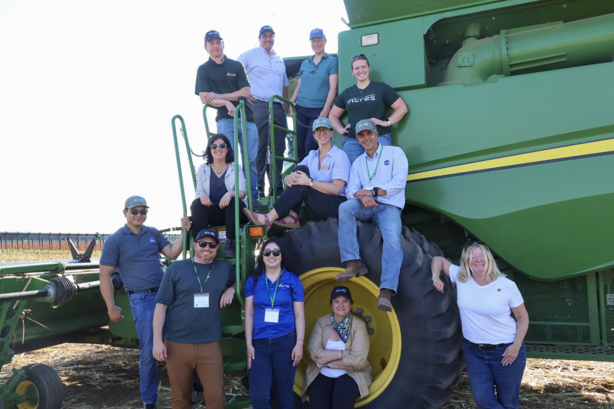
Our sister consortium, NASA Acres, joined NASA Earth Science and agricultural partners for the 2026 Space for Agriculture listening tour across Texas, Oklahoma, and Kansas. The team met with farmers, ranchers, researchers, and agricultural organizations to better understand their needs and where NASA Earth observations can support decisions around water, conservation, rangelands, and crop production.

The coming storm: How AI can help us forecast and harness the weather

NASA Harvest's Africa Lead, Catherine Nakalembe, joined the Solve for X podcast to discuss how AI and satellite data are changing weather and drought monitoring. She also emphasized a key limitation: better forecasts only matter if communities have the resources, infrastructure, and policies needed to act on them.

Upcoming Events

Registration Open for 2026 NASA Space Apps Challenge

November 14-15, 2026

Registration is now open for the 2026 NASA Space Apps Challenge, the world’s largest annual global hackathon. Held November 14–15, the two-day event brings together technologists, students, scientists, designers, and other participants at hundreds of in-person and virtual events around the world.


Teams respond to challenges developed by NASA subject matter experts, using free and open data from NASA and partner space agencies to address real-world problems on Earth and in space. Projects can range from apps and software tools to new approaches for exploration and sustainability. Selected submissions are later reviewed for Global Awards.


Registration remains open through November 15.