|
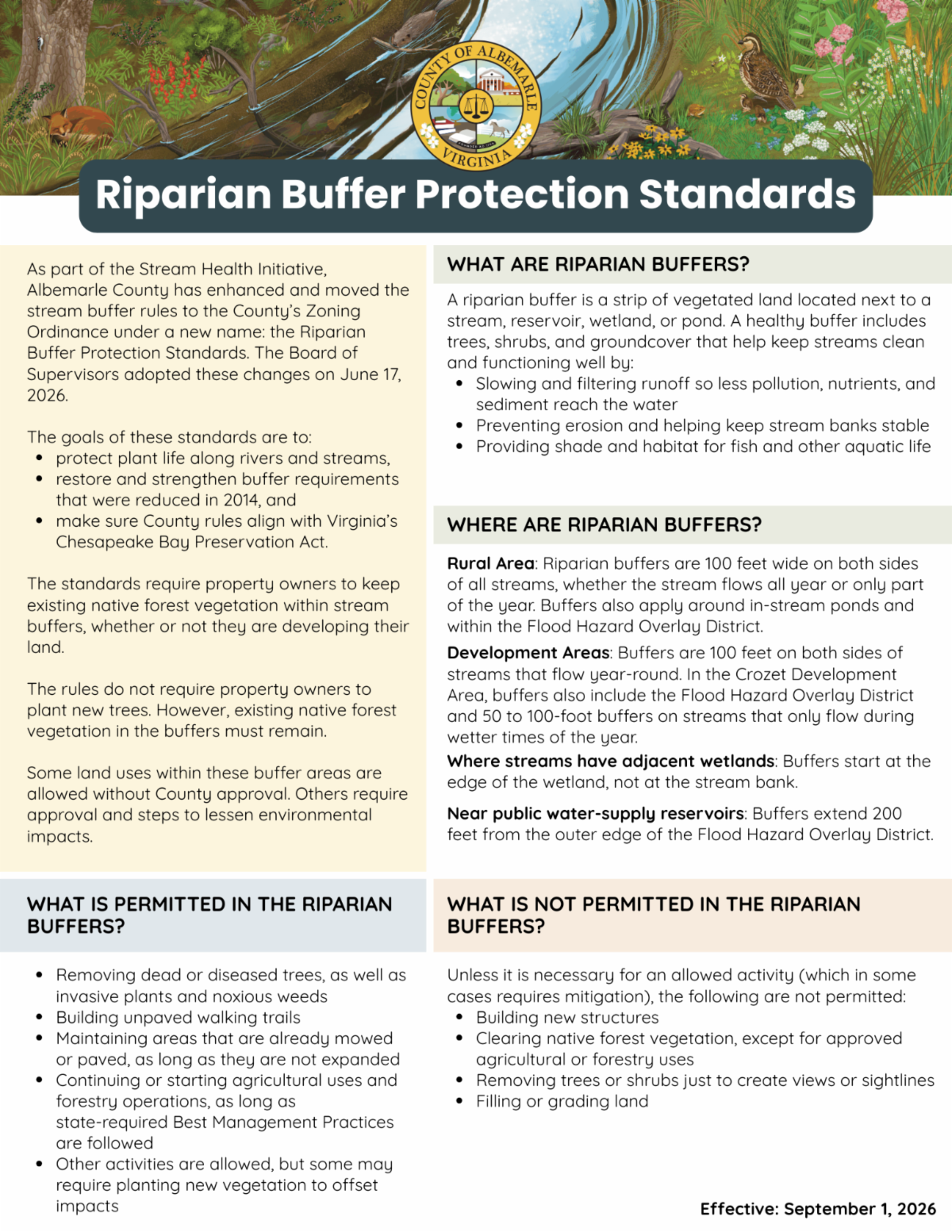
Healthy stream buffers help protect water quality, prevent erosion, and provide habitat for fish and other aquatic life. Beginning September 1, Albemarle County’s updated Riparian Buffer Protection Standards will take effect.
The Board of Supervisors adopted the updated standards on June 17 as part of the County’s Stream Health Initiative. The standards strengthen protections for vegetation along streams and rivers and align County regulations with Virginia’s Chesapeake Bay Preservation Act.
What Is a Riparian Buffer?
A riparian buffer is an area of vegetated land next to a stream, reservoir, wetland, or pond. Trees, shrubs, and other vegetation within these areas help:
- Slow and filter runoff before pollution, nutrients, and sediment reach the water.
- Prevent erosion and stabilize stream banks.
- Provide shade and habitat for fish and other aquatic life.
What Do the New Standards Mean for Property Owners?
The standards require property owners to keep existing native forest vegetation within protected riparian buffers, even when the property is not being developed.
Property owners are not required to plant new trees simply because their property includes a riparian buffer. However, existing native forest vegetation within the buffer must remain.
Some activities are allowed within riparian buffers without County approval. These include:
- Removing dead or diseased trees, invasive plants, and noxious weeds.
- Building unpaved walking trails.
- Maintaining areas that are already mowed or paved, as long as they are not expanded.
- Continuing or starting agricultural and forestry activities when state-required Best Management Practices are followed.
Other activities may be allowed but could require County approval or planting new vegetation to offset environmental impacts.
What Activities Are Restricted?
Unless needed for an allowed activity, the standards generally do not allow:
- Building new structures.
- Clearing native forest vegetation, except for approved agricultural or forestry uses.
- Removing trees or shrubs to create views or sightlines.
- Filling or grading land.
Where Do the Standards Apply?
The size and location of riparian buffers vary depending on where a property is located.
In the Rural Area, buffers generally extend 100 feet on both sides of streams, including streams that flow only during part of the year. Buffers also apply around in-stream ponds and within the Flood Hazard Overlay District.
In Development Areas, 100-foot buffers apply along streams that flow year-round. Additional protections apply in the Crozet Development Area.
Near public water-supply reservoirs, buffers extend 200 feet from the outer edge of the Flood Hazard Overlay District.
When a stream has adjacent wetlands, the buffer begins at the edge of the wetland rather than the stream bank.
Learn More Before Starting Work
If your property includes a stream, wetland, pond, or other protected area, understanding the buffer requirements before clearing vegetation, grading, building, or making other changes can help you determine what is allowed and whether County approval is needed. Contact County staff at 434-296-5832 to discuss any details or questions you may have.
The Riparian Buffer Protection Standards take effect Sept. 1, 2026.
|