|
As we move into the warmer months, it’s a good time to take stock of the conditions shaping our local environment this summer and to think about a few simple steps that can help keep you, your family, and your neighbors safe and prepared.
Three factors are worth understanding as we head into summer: a significant drought that has gripped Florida for months, an active wildfire season driven in part by those dry conditions, and the influence of a climate pattern called El Niño on our regional weather. Here’s a breakdown of each, and what it means locally.
Understanding the Drought
Florida has been experiencing below-normal rainfall since mid-2025, with conditions worsening significantly by January 2026. According to the U.S. Drought Monitor, as of early 2026, more than 99% of the state was classified under drought conditions, with 85% qualifying as severe drought or worse. These are the most widespread drought conditions recorded in Florida since 2012.
The current drought is rooted in a rainfall deficit that began building across the Southeast in July 2025. The December through March period is typically when Florida's soils, groundwater, and surface water supplies recharge, but according to the U.S. Drought Monitor's April 2026 Southeast Status Update, the persistent precipitation deficit through that window prevented normal recharge from occurring, leaving the region's water reserves below average heading into the warm season.
For Palm Beach County residents, this translates to outdoor water restrictions currently in effect through the South Florida Water Management District. Small actions such as watering only on your designated days, fixing household leaks, and cutting back on irrigation, can add up in a meaningful way during extended dry periods.
Wildfire Activity and Air Quality
Dry conditions across the state have contributed to an active wildfire season. As of early May 2026, the Florida Forest Service had responded to more than 1,700 wildfires statewide, with 130 active at one point, and over 90,000 acres burned so far this year. Closer to home, a wildfire in western Broward County burned more than 11,000 acres before being fully contained by mid-May rains.
While large-scale fires have stayed west of Palm Beach County this season, wildfire smoke can affect air quality across wide areas, and our region faces additional air quality factors in the coming months: smoke from ongoing Florida fires, potential smoke from Canadian wildfires, and the Saharan dust layer that typically arrives mid-June.
The good news: monitoring air quality is easy, and there are straightforward steps you can take on high-smoke days. Check AirNow.gov before spending extended time outdoors, keep windows closed when air quality is poor, and use your HVAC system’s indoor recirculate setting. Residents with asthma, respiratory conditions, or heart issues should be especially attentive.
At home, help reduce local fire risk by following any active burn bans (no burning yard debris during a ban), clearing dry leaves and brush from around structures, and storing flammable materials safely. Check current County conditions before burning anything.
El Niño and What It Means for Our Summer
El Niño refers to a periodic warming of the central and eastern Pacific Ocean that shifts weather patterns across the globe. For Florida, NOAA's National Weather Service notes that El Niño generally brings above-average precipitation during fall, winter, and spring, along with a reduced risk of wildfires and a higher risk of flooding. It has also been linked to reductions in Atlantic hurricane activity due to increased vertical wind shear. The stronger influence of the subtropical jet stream also produces more low-pressure systems, clouds, rain, and severe weather across the southern U.S.
Fewer Atlantic hurricanes also means less tropical rainfall to help replenish water supplies during an active drought. The summer rainy season, which typically kicks in between late May and mid-June, will be an important factor in how quickly conditions improve.
For Palm Beach County residents, the practical takeaway is a summer that begins dry and gradually transitions toward a more typical stormy pattern. Keeping an eye on forecasts and staying weather-aware is always good practice, especially as afternoon thunderstorms become more frequent.
Getting Ready for Summer: A Quick Checklist
- Follow current outdoor watering restrictions and water only on your designated days.
- Check AirNow.gov before spending time outdoors during active fire or dust events.
- Clear dry vegetation from around your home and never burn during a burn ban.
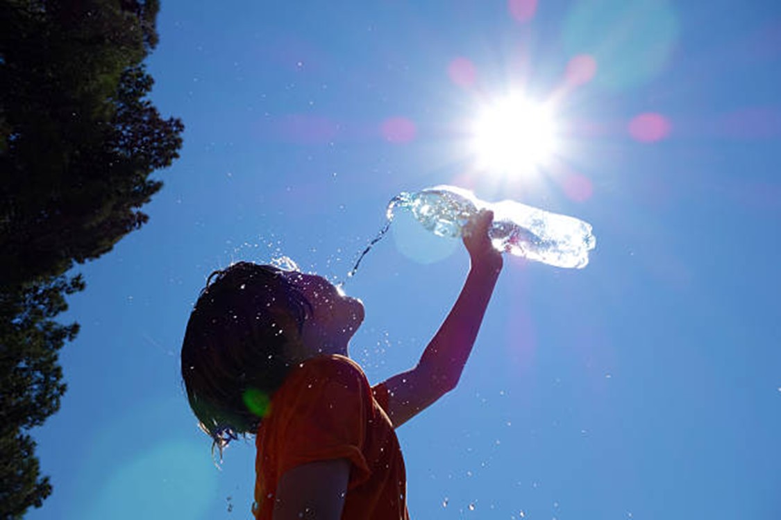
- Stay hydrated and limit strenuous activity to morning hours during periods of high heat.
- Refresh your hurricane emergency kit before June 1.
A Few Resources to Bookmark:
|