|
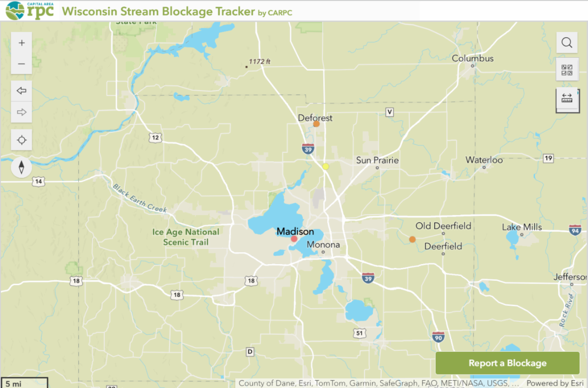
CARPC, in partnership with Capitol Water Trails, the Wisconsin State Trails Council, and the University of Wisconsin-Madison, developed an innovative web map to identify and track obstructions in Wisconsin waterways. This tool enables kayakers, hikers, bikers, and community members to report blockages with details such as location, size, water flow impact, and a photo.
Each submission appears on our interactive map, allowing users to track and update the status of blockages and communities to respond promptly, supporting healthier, free-flowing waters across the state.
|