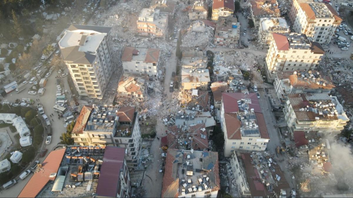
On February 6th, a 7.8 magnitude earthquake and subsequent aftershocks struck Turkey and Syria causing widespread destruction, and at the time of this newsletter, resulted in more than 33,000 deaths (Source). US&R teams from around the world mobilized to support, including USA-1 (VA-TF1) and USA-2 (CA-TF2). These teams on the ground are being assisted by the INSARAG UCC Remote GIS Support Cell with numerous geospatial tools and products. However, this tragic incident has been a wake-up call with regard to Earthquake Response- we are not ready. From a geospatial support and information management perspective, we know that the United States is not prepared for an earthquake of this magnitude. Once the response to the Turkey earthquake concludes, the National Search and Rescue Geospatial Coordination group plans to coordinate with its international partners to formulate a more robust geospatial gameplan for large-scale catastrophic incidents. |