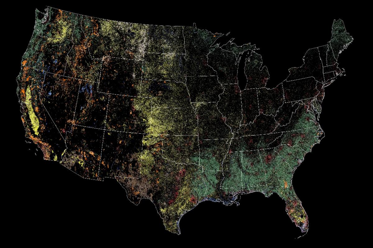
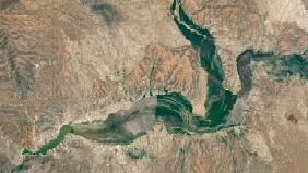
| | Wild disturbances are on the rise, while land disturbed by human activity has been decreasing. A new study used nearly 40 years of Landsat data to investigate the drivers of land change in the U.S. | | |
| |
June 10, 2026
Jim Irons, Former Landsat Project Scientist, Wins Pecora Award
Irons, now an emeritus scientist at NASA Goddard Space Flight Center, played an integral role in shaping the Landsat program into what it is today. He discusses winning the prestigious Earth Science award, Landsat's future, and his legacy at NASA.
| | |
| |
June 24, 2026
Calibrating Satellite Image Data
Source: Small Steps, Giant Leaps Podcast
Before scientists can use satellite images for research, the data must be carefully calibrated to ensure the measurements are accurate and consistent over time. How does this process work? Dr. Julia Barsi speaks to Small Steps, Giant Leaps host Andres Almeida about calibration.
| | |
| |
June 4, 2026
Landsat Satellites Show Mangrove Forest Rebound
Source: James Riordon, NASA Senior Science Writer
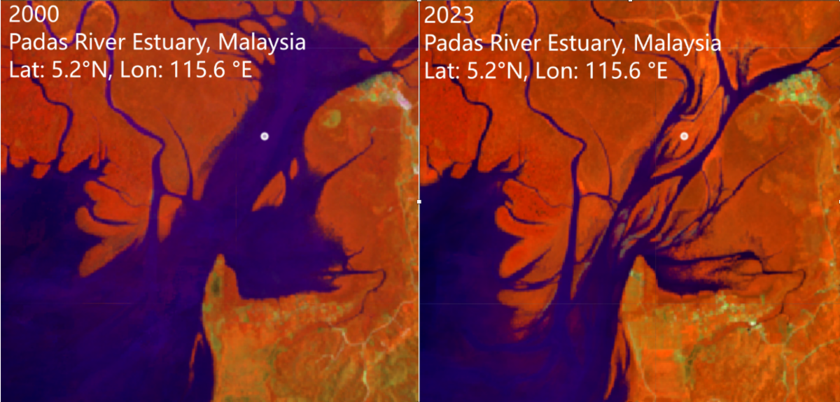
Four decades of Landsat images show that mangrove forests, which protect shorelines, support coastal ecosystems, and store large amounts of carbon, are more resilient than scientists believed.
| | |
“Data continuity is the backbone of the Landsat program. We are looking for change over time... We wouldn't be able to understand, characterize, and monitor those changes without a continuous data record.”
—Jim Irons, Former Landsat Project Scientist
| | | |
PUBLICATION SPOTLIGHT
The Urban Pulse: Diagnosing the urbanization process as spiky, cyclical, and asynchronous
| Zhu et al., 2026
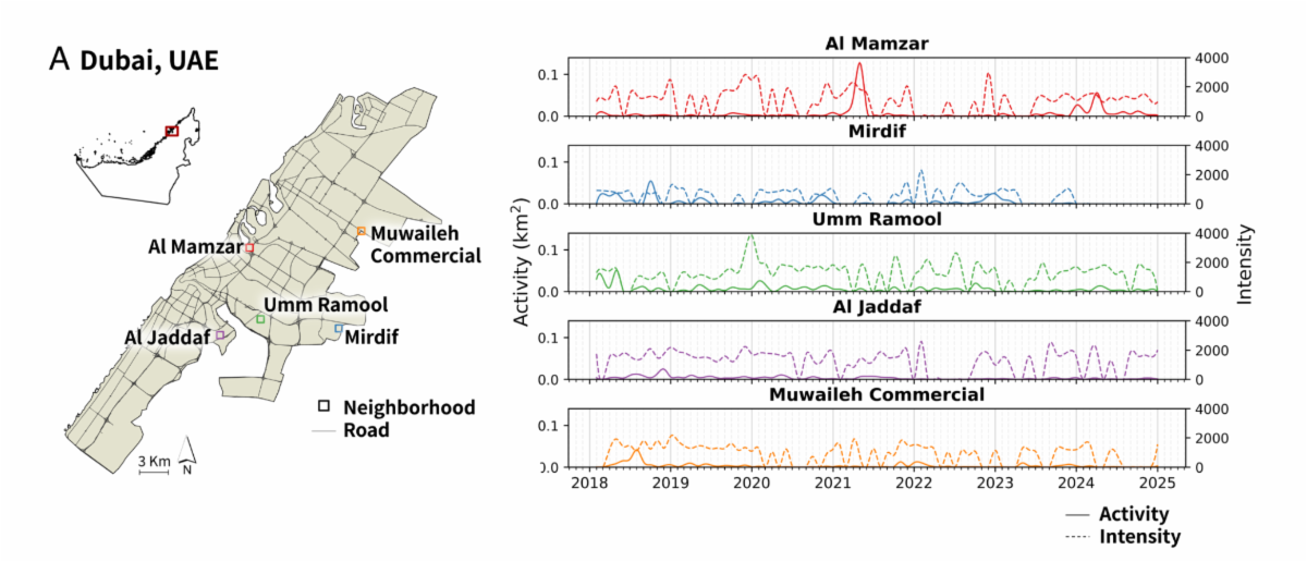
Urbanization is sometimes imagined simply as a city expanding out into suburban or rural areas. Zhu et al., 2026 reframes it as a “pulse” analogous to the one running through human bodies. The research team, led by former Landsat Science team member Zhe Zhu, used Harmonized Landsat and Sentinel-2 data to assess how COVID-19 pandemic affected Seattle, Shenzhen, Lagos, Mumbai, Dubai, and Mexico City. They revealed that a process that is spiky, cyclical, and asynchronous. That is, urbanization is episodic rather than continuous; cities cycle through expansion, stabilization, and decline; and different parts of the city change independently from one another. Their “Urban Pulse” analysis showed that some cities have still not returned to pre-pandemic patterns, while others have shifted significantly since then. Capturing these complex urban dynamics can help researchers and urban planners identify urban stress sooner and intervene more effectively at the neighborhood level.
| Urban Pulse by neighborhoods in Dubai, exhibiting spiky, cyclical, and asynchronous urbanization. Image credit: Zhu et al., 2026 | | |
June 12, 2026
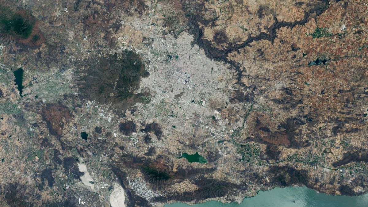
World Cup Fever in Guadalajara
The city's metro area has pushed westward since it last hosted World Cup matches in 1986, expanding across a landscape shaped by ancient volcanoes.
| | |
June 2, 2026
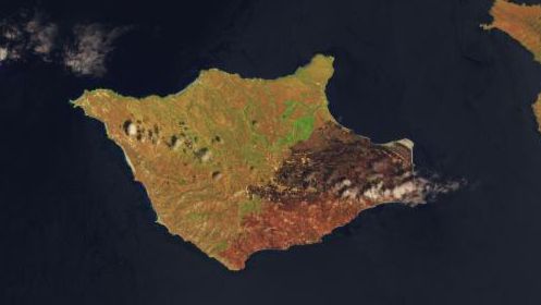
Fire’s Footprint on Santa Rosa Island
A wildland fire charred grassland, coastal sage scrub, and chaparral across one-third of the island, the second largest of the Channel Islands.
| | | AGU26: Submit Abstracts to the Following Sessions | | |
| |
The Satellite Needs Working Group (SNWG), a U.S. Government inter-agency organization, identifies Earth observation needs across U.S. federal agencies. In response, NASA develops a wide range of solutions that benefit those agencies and the Earth science community. This session invites presentations from across the community on their applications of SNWG solutions.
+ Submit an abstract
| | |
| |
This session examines how Landsat data support operational decision-making and policy-relevant outcomes. We invite contributions demonstrating innovative multi-sensor fusion, advances in uncertainty characterization, and the application of cloud computing and machine learning to scale Landsat-based analyses for the benefit of society.
+ Submit an abstract
| | | | |